Navigating the Swiss Parks Website
i

Chasseral durch die "Combe Biosse"

Hiking trail
Time required: 4 hours 30 minutesLength: 15.00 km

Season

Mai, June, July, August, September, October

Contact

Jura bernois Tourisme
Place de la Gare 2
2610 Saint-Imier
Tel. +41 (0)32 942 39 42

www.grandchasseraltourisme.ch

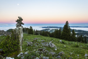
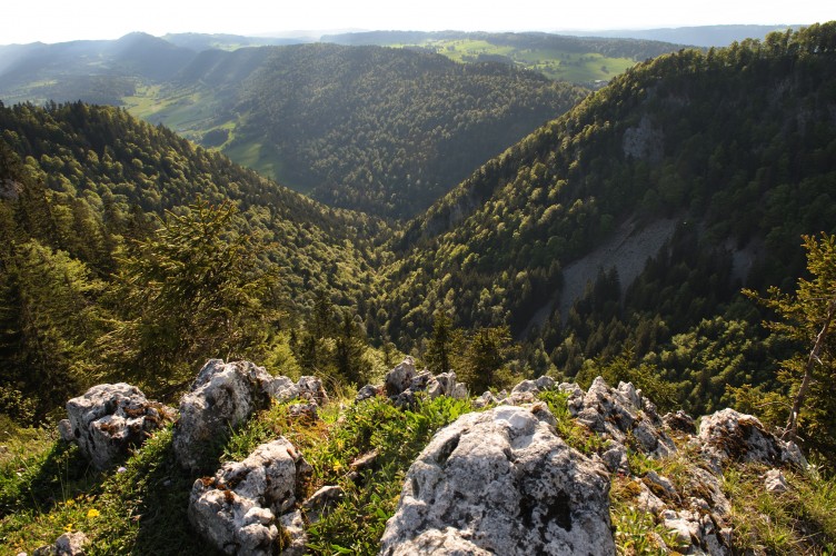
Parc régional Chasseral - Gehen Sie durch die wilde «Combe Biosse» im Val de Ruz, unterhalb des Chasseralgrats, um zum Gipfel zu gelangen. Der Abstieg erfolgt durch die Wälder und Weiden des Chasserals.

Route-information

Route-information

Length
15.00 km
Time required
4 hours 30 minutes
Level technique
Middle
Level condition
Middle
Height profile view map

Arrival

Starting point
Villiers (Altitude: 740 m)
Arrival by public transport
Villiers, centre Timetable SBB
Destination
Lignières (Altitude: 800 m)
Arrival by public transport
Lignières, bureau communal Timetable SBB

Suitable for

The offer is suitable for

  • Adults

Discovering underway

Parc régional Chasseral

Métairie de Dombresson

Regionale Gerichte: Käsefondue, Rösti, Schinken, Cordon rouge, Meringues
Produkte vom Hof: Meringuen, Kuchen, Brot

Farm restaurant

Routes in the vicinity

Wildnispark Zürich Sihlwald

Langenberg-Rundweg

Schöner Weg durch den Tierpark Langenberg mit Besuch bei Rothirsch, Wildschwein, Wolf, Luchs und Steinbock.

Theme trail
Time required: 1 hourLength: 2.40km
Parc régional Chasseral

Les Prés-d'Orvin – Chasseral

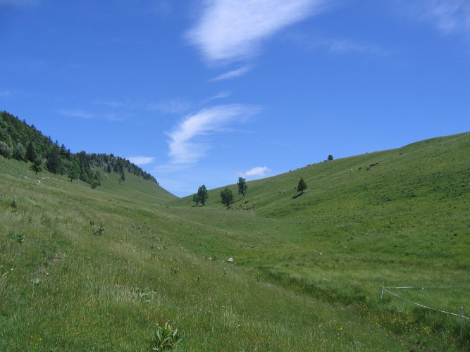
A relatively gentle but continuous uphill hike from Les Prés-d'Orvin to the summit of the Chasseral following the ridge and through typical forests and wooded pastures. Panoramic views, alpine flora and the Chasseral antenna are on the menu.

Hiking trail
Time required: 3 hours 30 minutesLength: 12.00km
Parc régional Chasseral

Chasseral - Chaumont

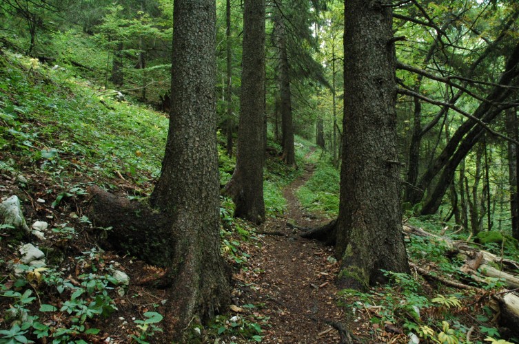
This excursion from the summit of the Chasseral to Chaumont is made for those who prefer the descent to the ascent. You will be taken gently down and up from the mountain peeled by the biting winter to the dense forests of the hillsides.

Hiking trail
Time required: 4 hoursLength: 15.00km

Map