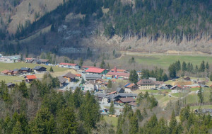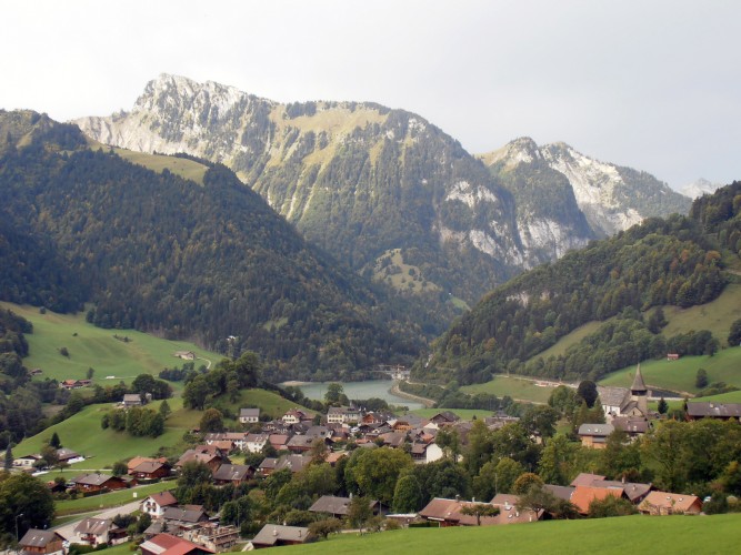

Parc naturel régional Gruyère Pays-d'Enhaut
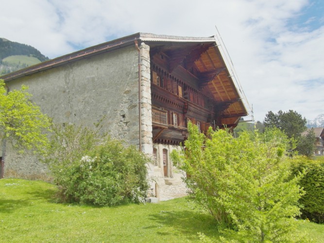
Le Grand Chalet
The Grand Chalet, formerly the Grande Maison, was built in 1754 for two families. On the lower ground floor an immense cheese cellar can be found. Jean-David Henchoz, the general contractor, attempted to make this a cheese commerce center. From 185...
Historical building