


Parc naturel du Jorat
Sentier de l'Etang de la Bressonne
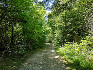
Parcours élaboré par la Ville de Lausanne, depuis le Chalet-à-Gobet et faisant le tours de l'Etang de la Bressonne.
Theme trail
Time required: 30 minutesLength: 1.60km
All season
Parc naturel du Jorat - The pond of the Bressonne is located 849 m above sea level. It has an area of 1.6 ha. Its maximum depth is 2.20 m and it is fed by three streams which drain the waters of 45 ha.
The meadows of Bressonne were a marshy area corresponding to the sources of a small tributary from the Broye, the Bressonne. These meadows were reforested at the beginning of the 20th Century and renamed the Vuargnes (or Les Vuarnoz). In 1944, all the remaining surrounding meadows were drained and canals were added to the Bressonne. In 1982, a violent “Foehn wind” accompanied by heavy rains swept the region and the Lausanne forests were devastated.
The forest, estates and vineyards service, now parks and estates, then decided to create a pond on the Vuargnes site. The earthworks, creation of the basin and dikes, as well as the planting of 30,000 indigenous seedlings and shrubs took place between 1986 and 1988. In August 1988, the pond was classified as a flora and fauna reserve. In 1998 and 1999, an observation pontoon and educational panels were installed.
Parking nearby for disabled persons
All season