Gantrischli snowshoe trail
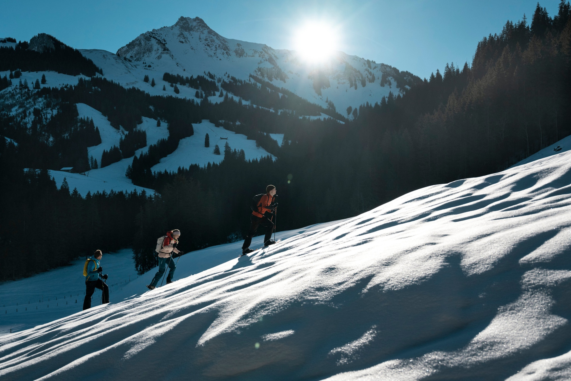
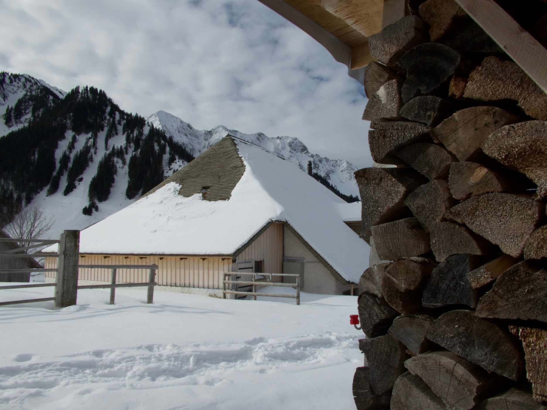
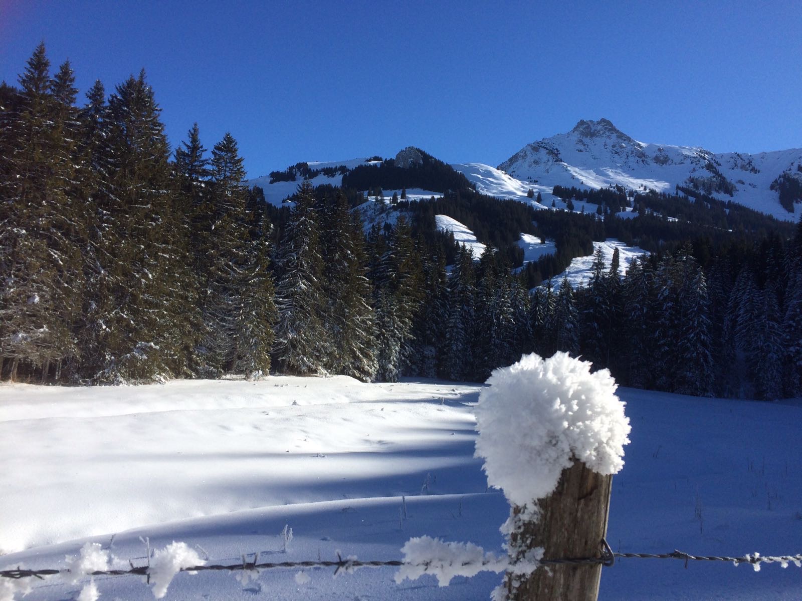
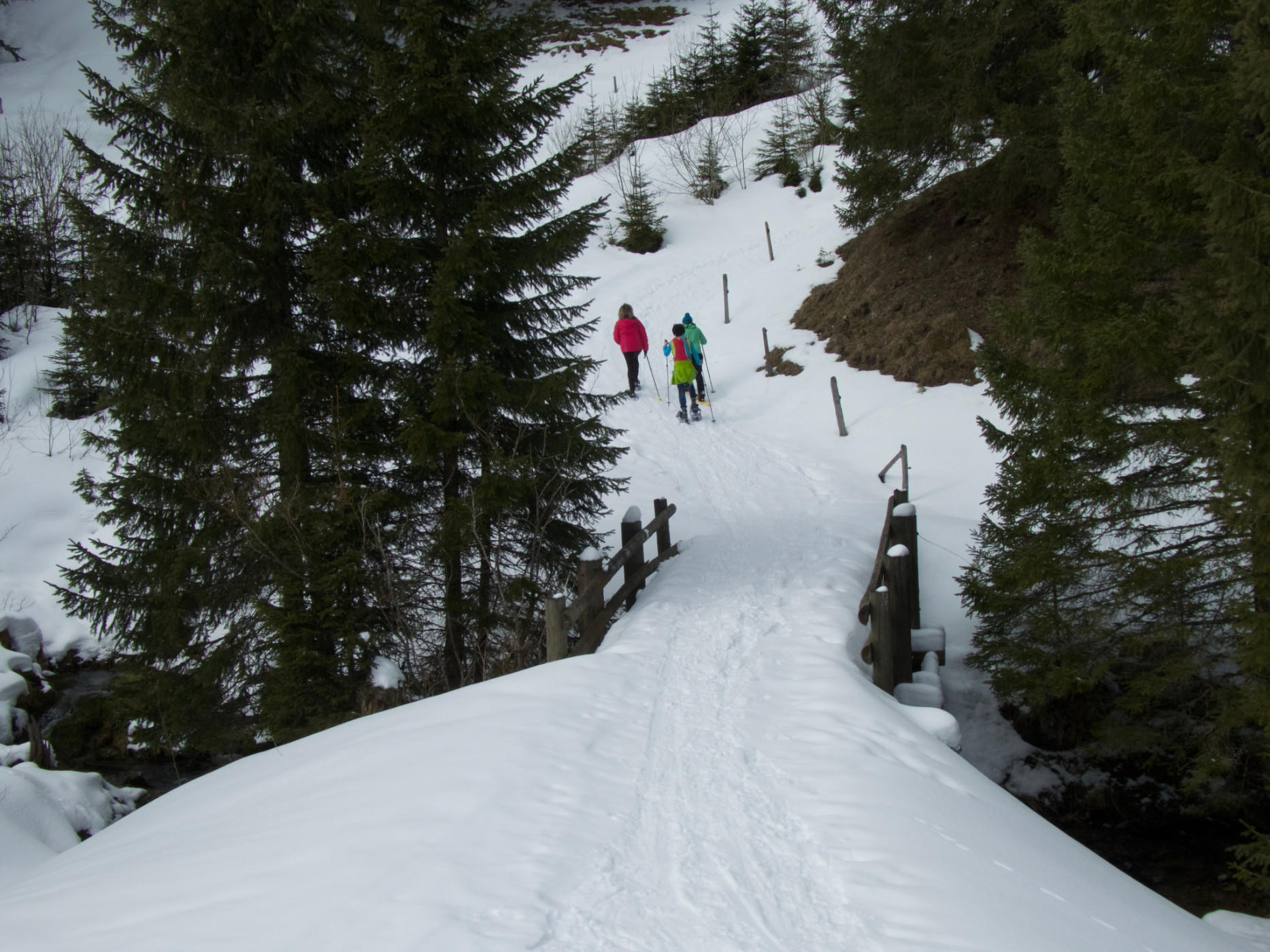
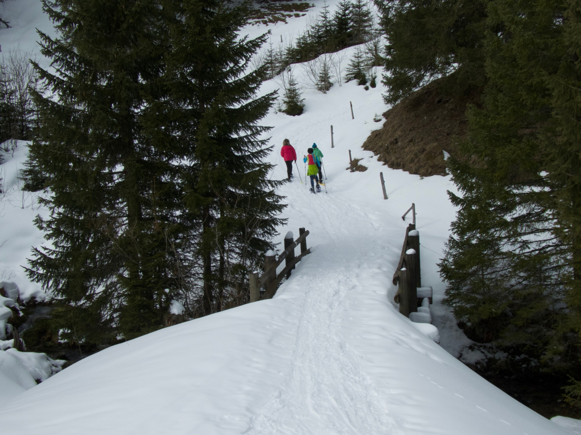
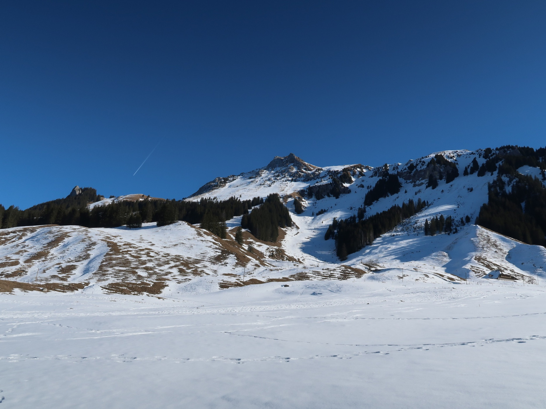
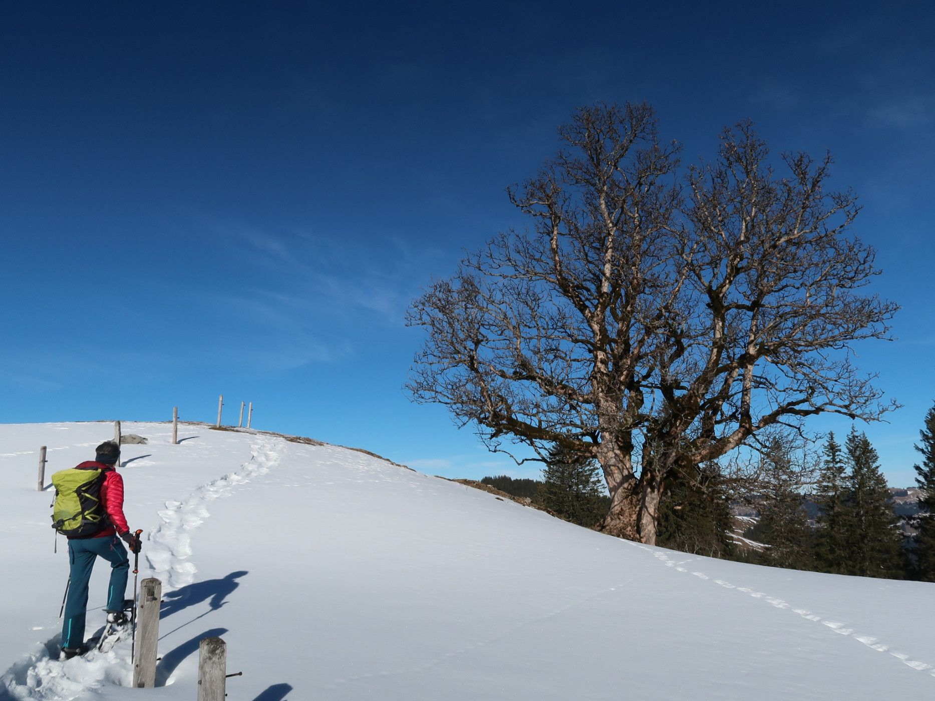
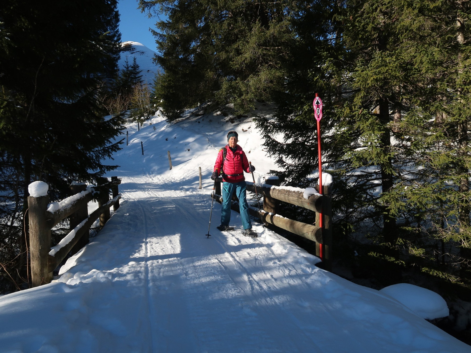
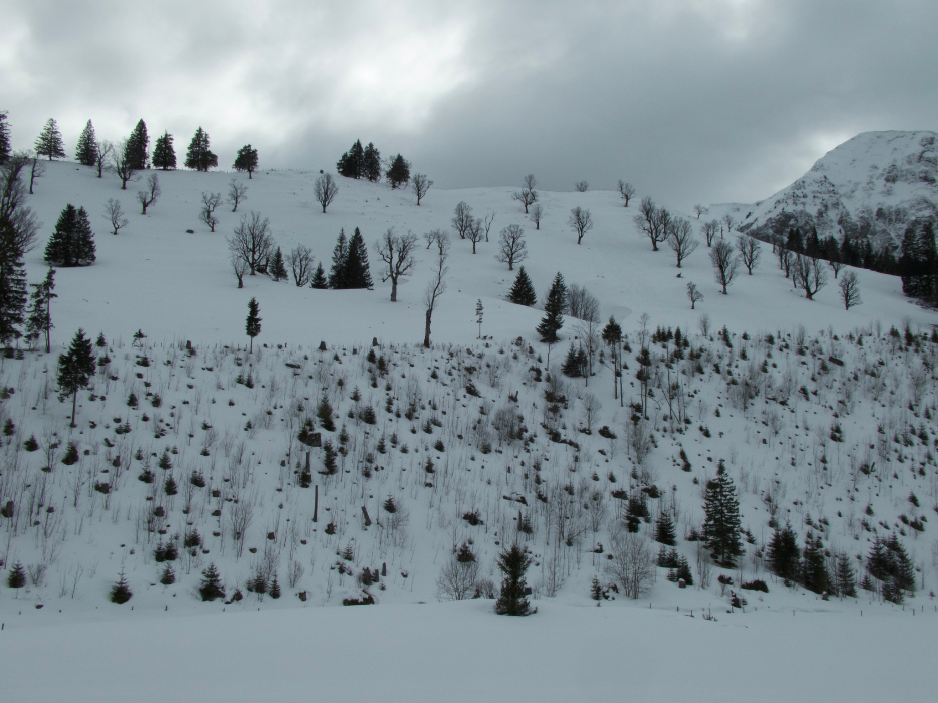
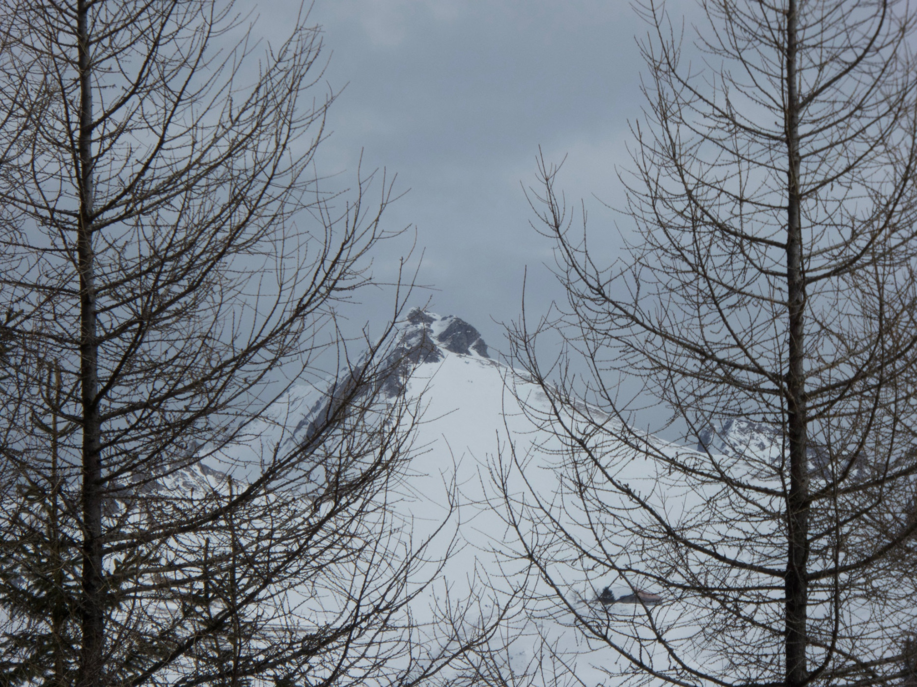
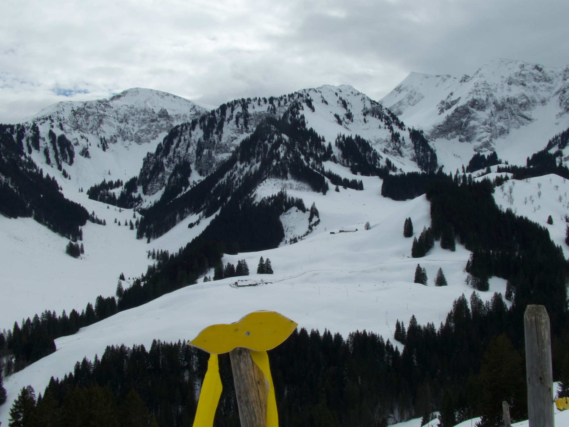
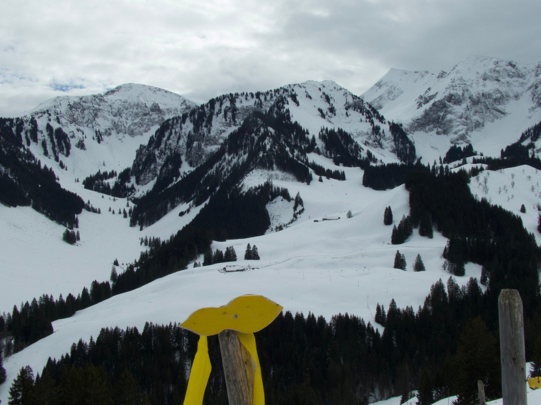
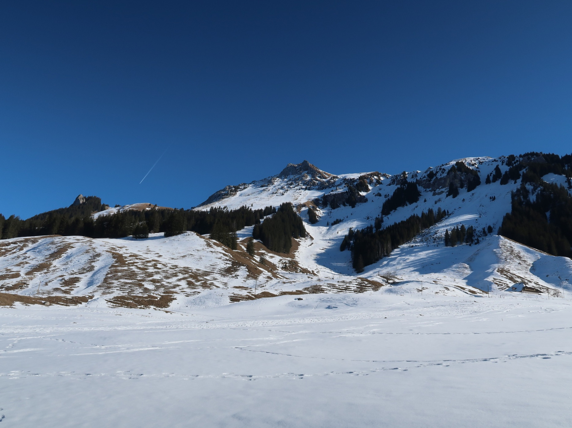
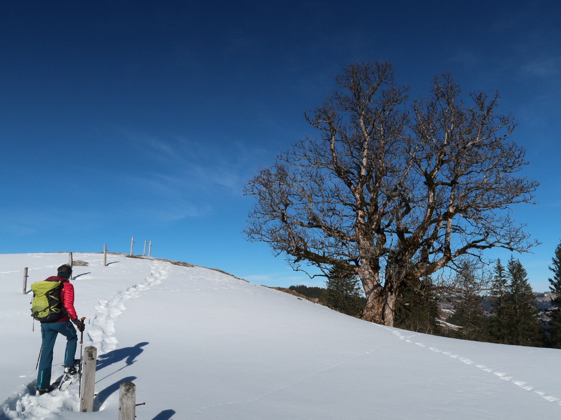
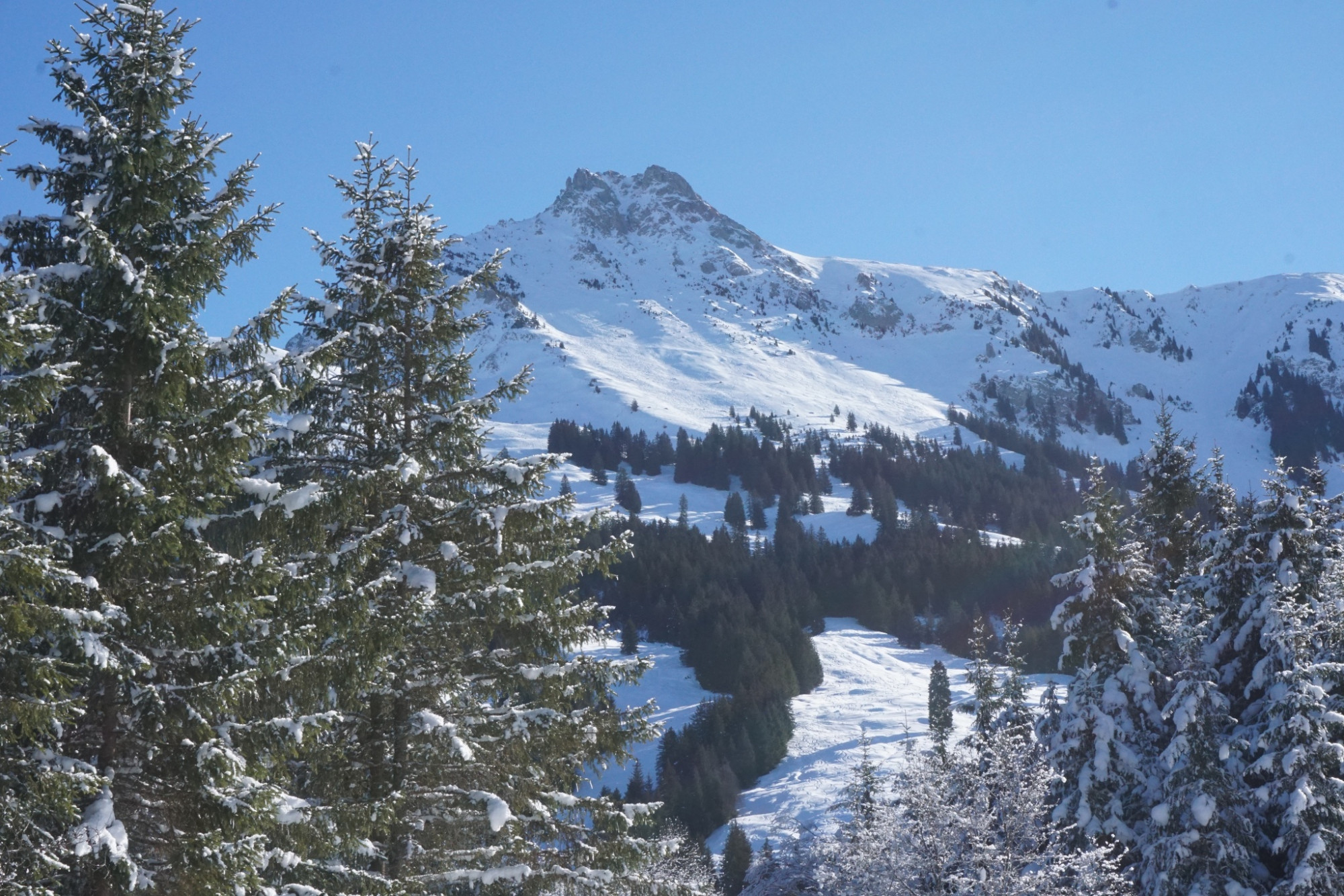
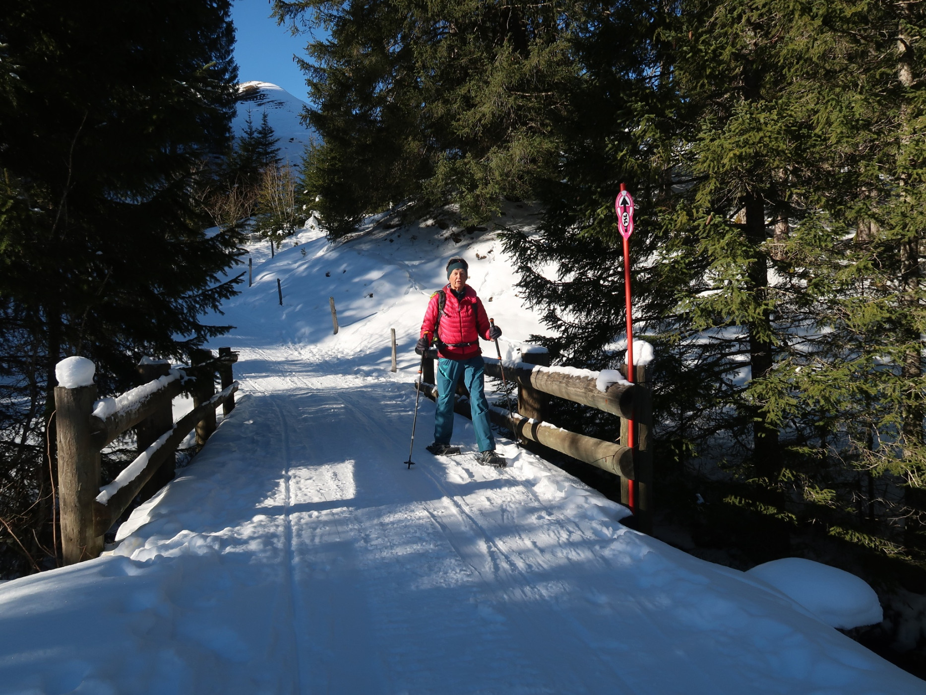
Naturpark Gantrisch - This snowshoe route is pure nature: it leads through the Muscherental past dense forests, over small bridges, thick logs, and snow-covered stones. In view: the slopes of the Ättenberg and the summit of the Mära.
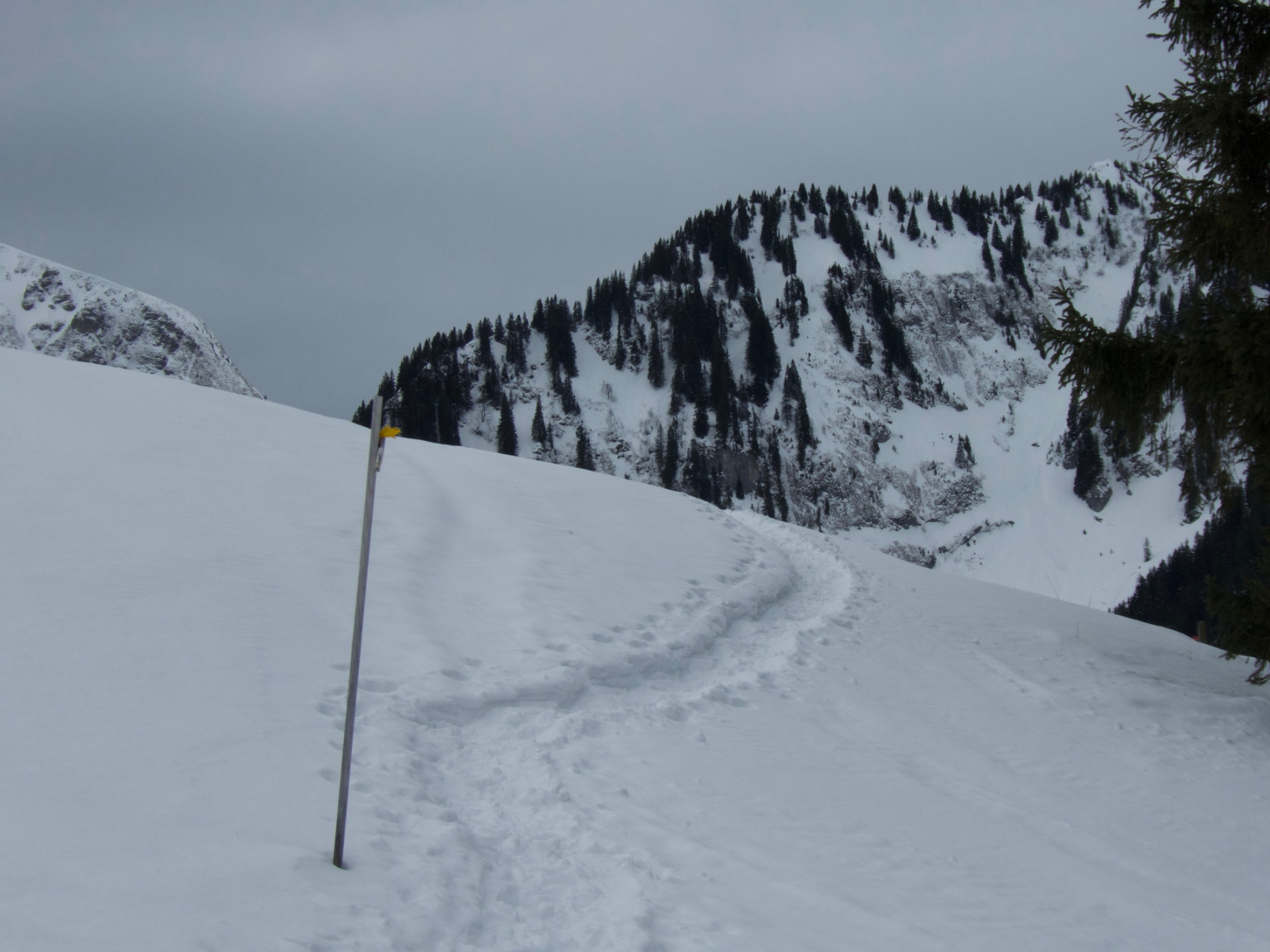
The Gantrischli snowshoe route, marked with signposts, starts hidden in the Muscherenschlund, a pristine side valley accessible via a road from Sangerboden. The circular route leads through the lonely, dreamlike Muscherental. Locals say that sometimes you may encounter the legendary dwarfs from Schwarzsee along the way. The starting point for the circular snowshoe route is at the free parking lot Murenstöck. Alternatively, the starting point can also be reached on foot from the bus stop in Sangerboden, which adds about 50 minutes to the hiking time.
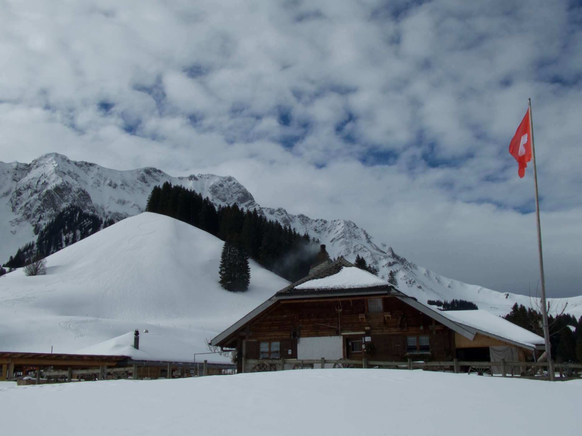
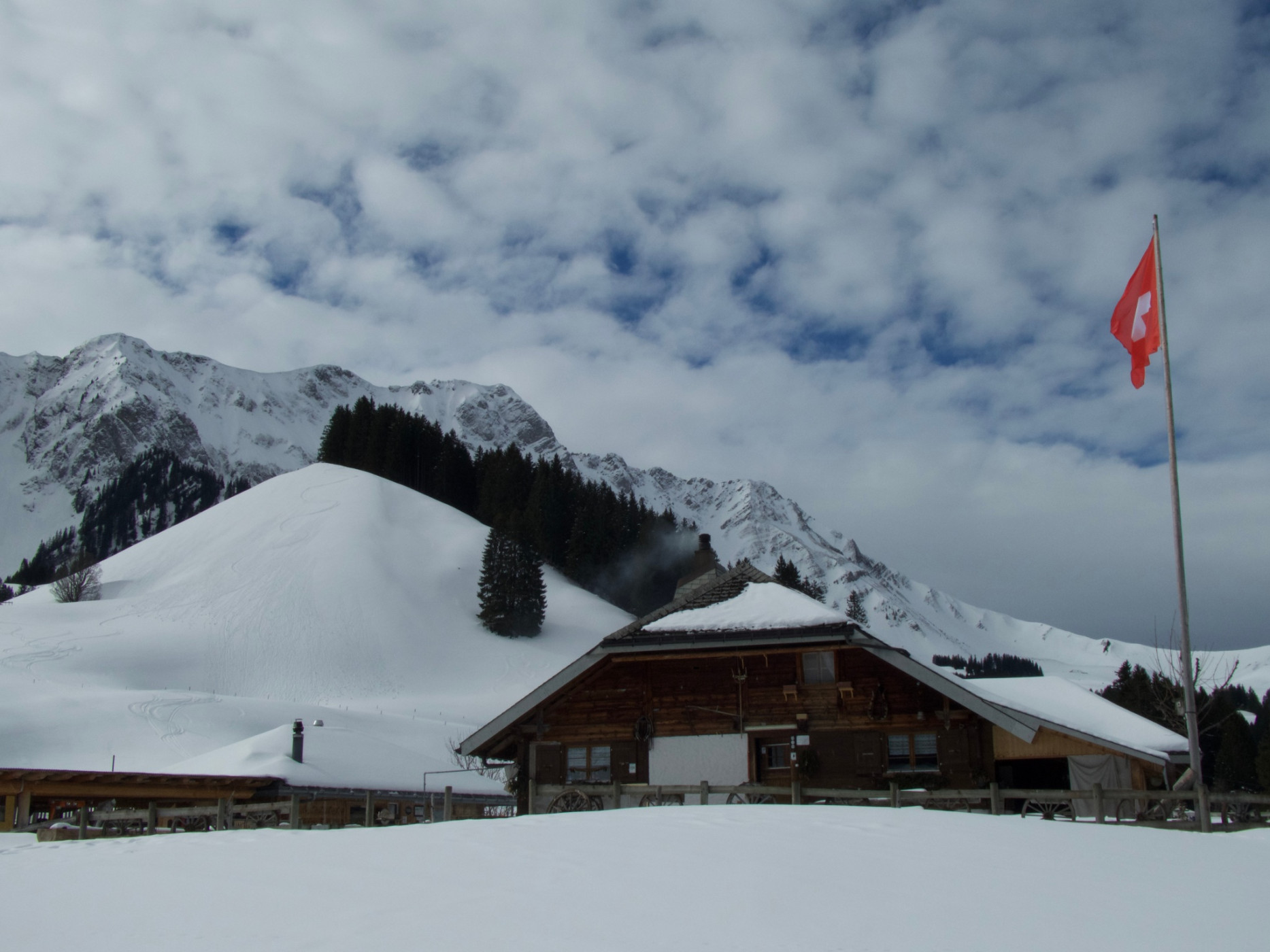
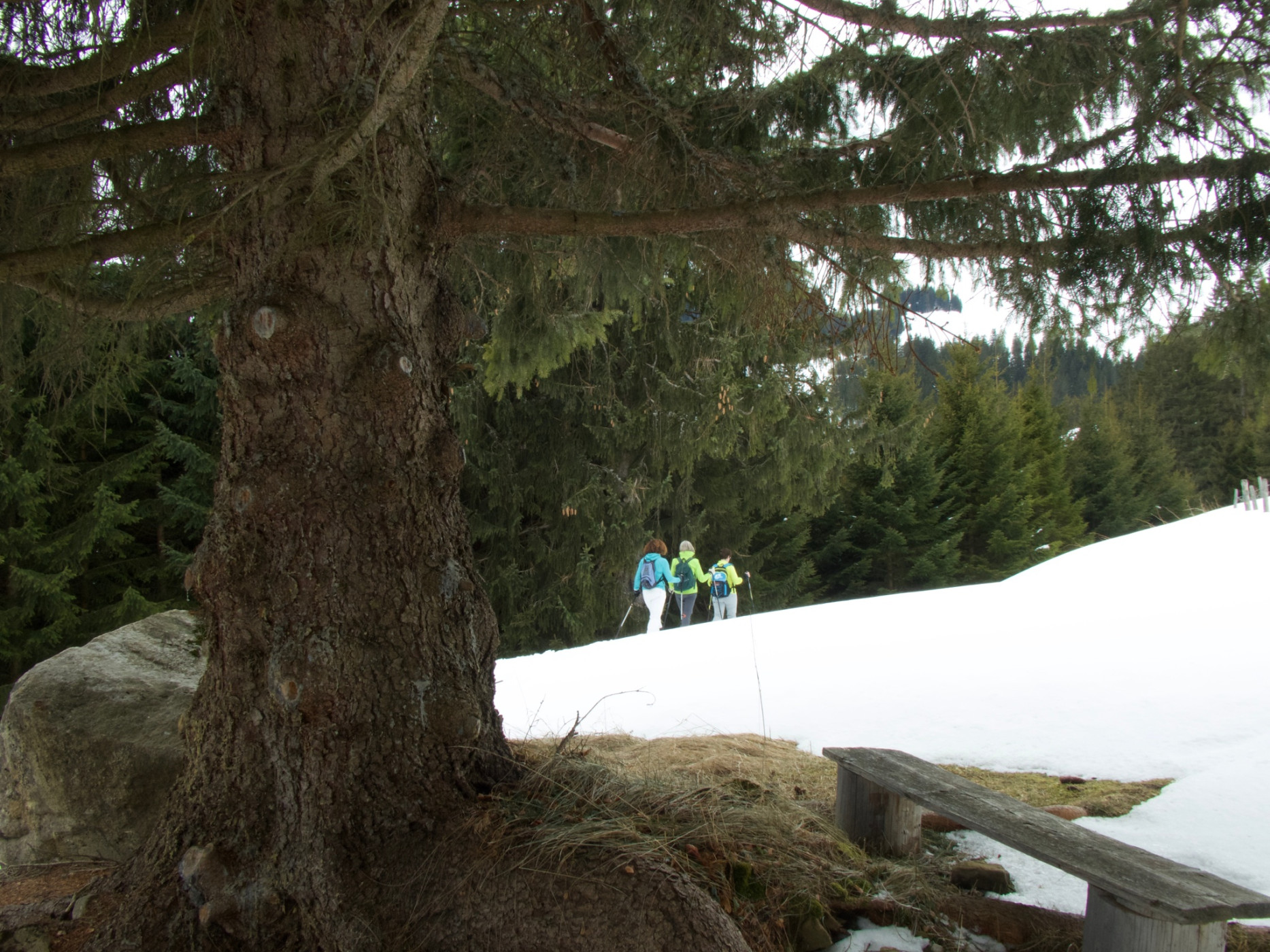
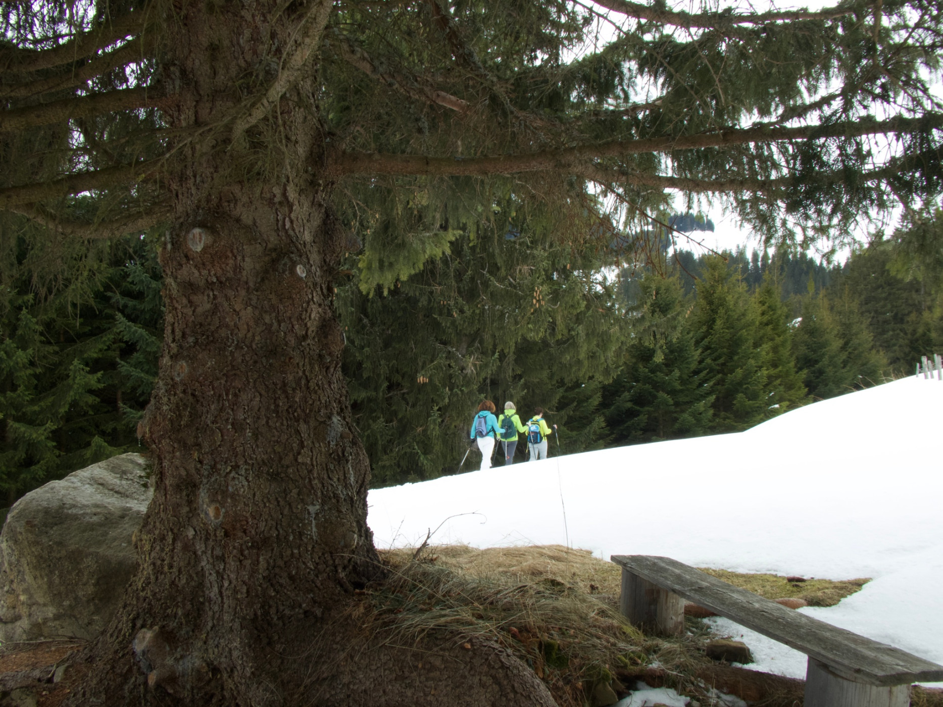
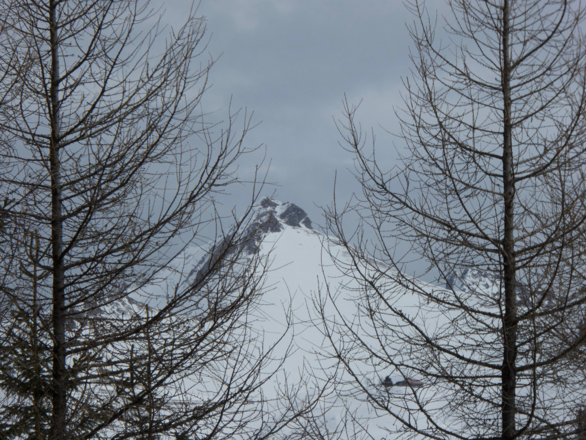
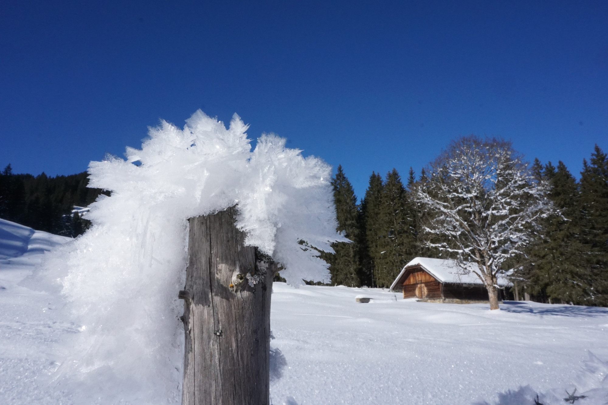
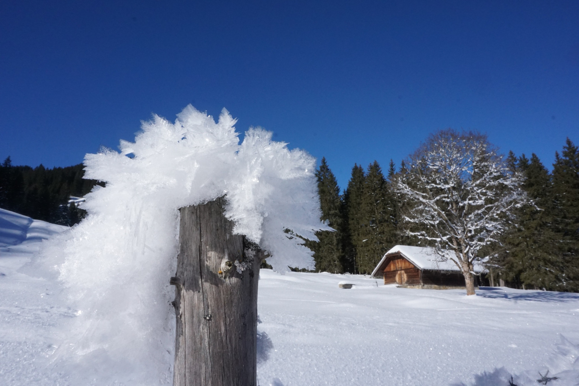
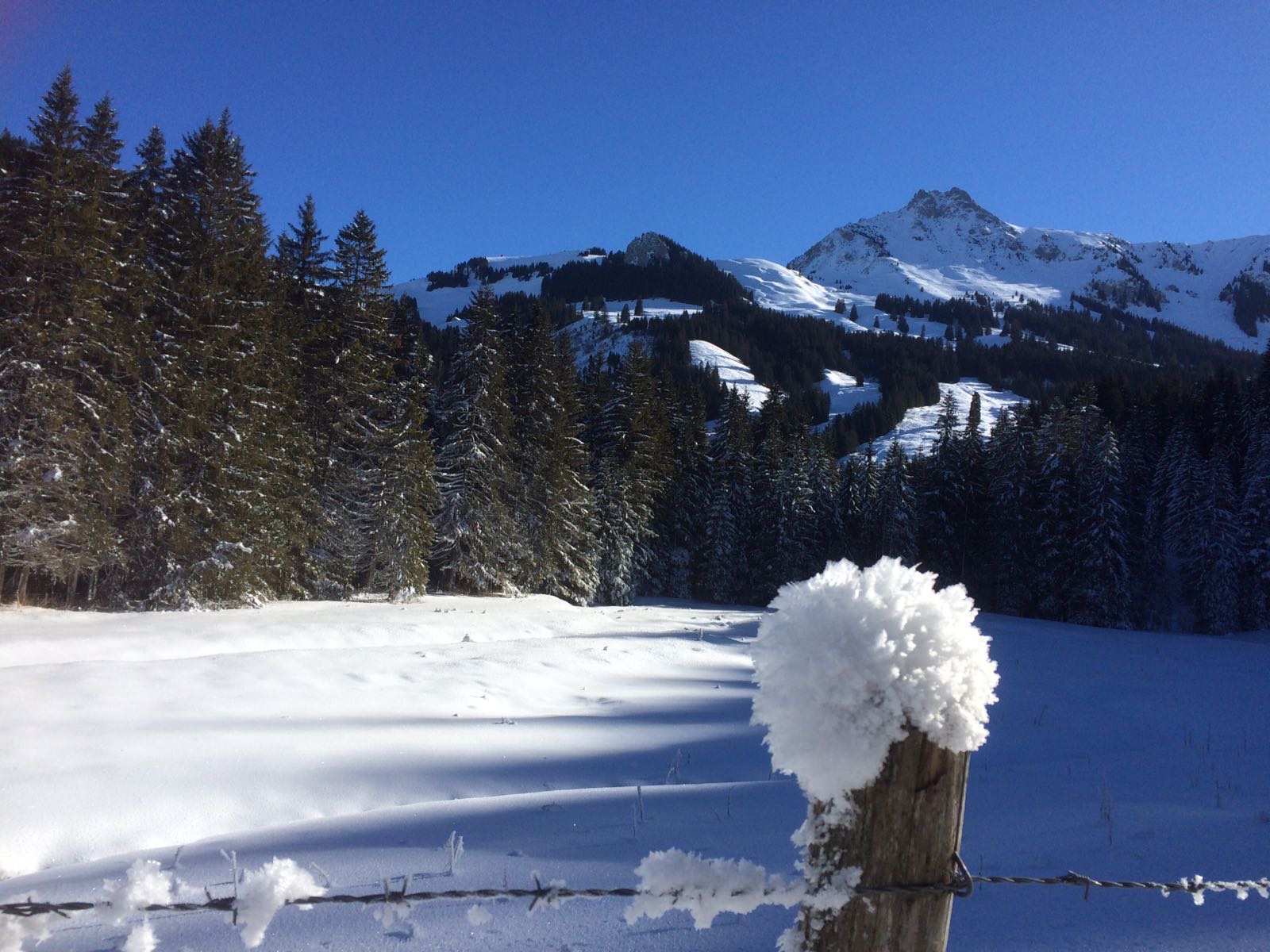
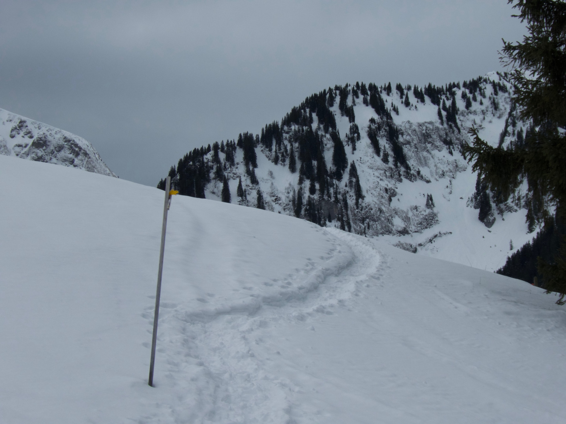
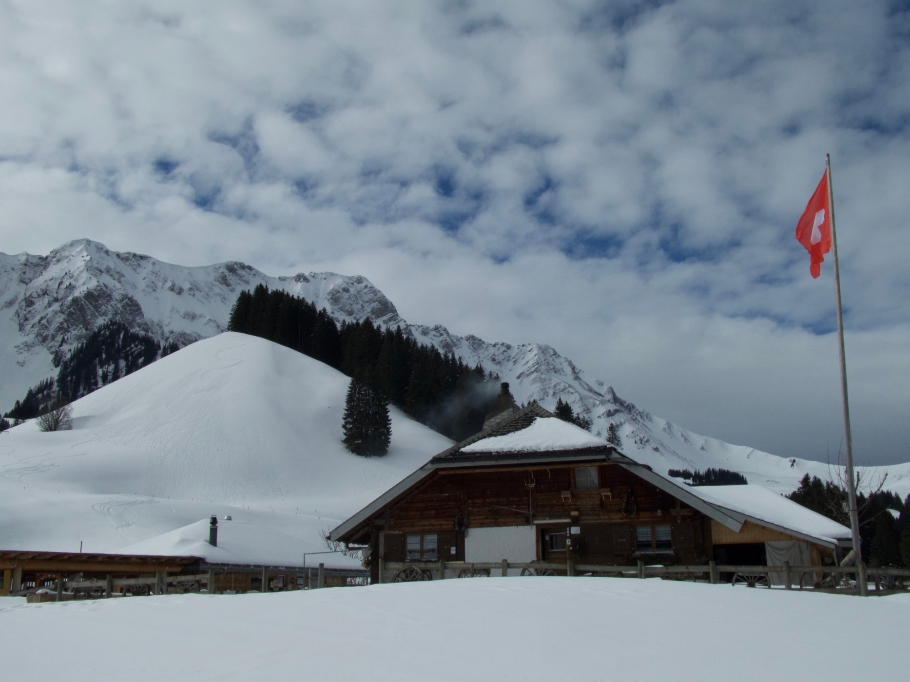
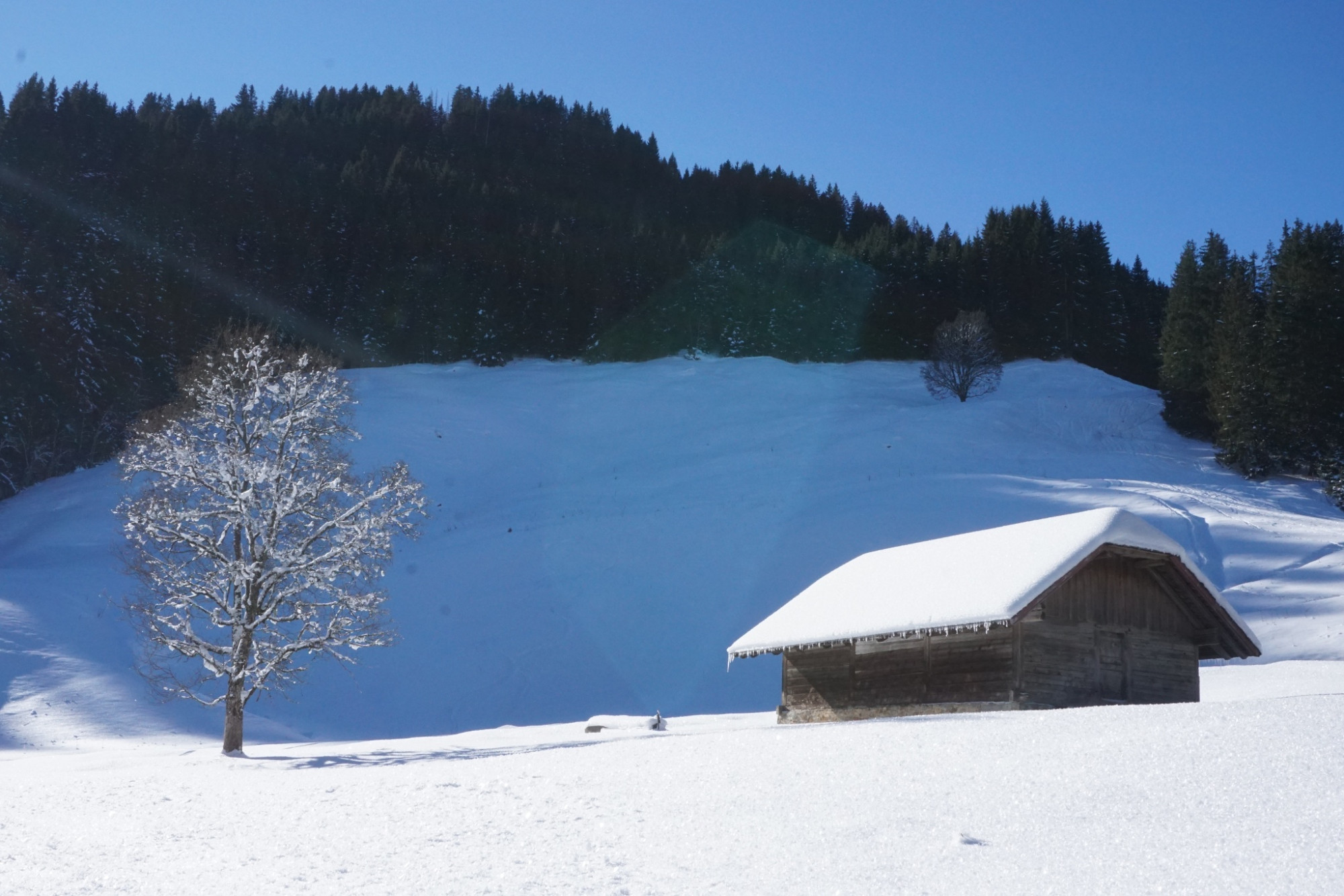
Right after leaving the parking lot, you immerse yourself in the enchanted winter world. Along the brook, wonderful hoarfrost formations often form on the trees and bushes. The trail gently rises along the mountainside through meadows, over small bridges, and open forests up to Spittel Gantrisch. Passing deeply snow-covered limestone blocks, the trail descends to the brook. Always in view are the slopes of the Ättenberg and the peaks of Mära, Schafarnisch, and Widdergalm. You rarely meet other people in this valley. Unexpectedly, about halfway, a human sign appears: smoke rises from the chimney of the popular Gantrischli alpine hut. From mid-June to mid-September, the Gantrischli also serves as an alpine cheese dairy, where milk from the entire Muscherental is processed into cheese – so there is enough winter stock for all snowshoers. Fortified, the trail gently goes downhill with an open view of the valley towards Schönenboden. A final ascent follows before the path leads at the same elevation on the forest trail to the alpine hut at Ober Spitz. Through the rugged mountain forest, the trail descends back to the parking lot, the starting point.
As a variant, which takes only two hours, you can hike back from Schönenboden over the snow-covered and closed road to the parking lot.
Route-information
Route-information
- Length
- 6.79 km
- Altitude difference ascent
- 390 m
- Altitude difference descent
- 392 m
- Time required
- 2 hours 55 minutes
- Level technique
- Easy
- Level condition
- Middle
Details
Equipment / Equipment rent
Equipment rental
- Gurnigel Berghaus, Gurnigel (self-service at the cross-country ski rental)
- Gantrisch Bike & Sport, Riggisberg
Arrival
Arrival
- Starting point
- Parkplatz Murenstöck
- Destination
- Parkplatz Murenstöck
Suitable for
The offer is suitable for
- Adults
- Children from 7-12 years
- Children >12 years
- 50+
- Families
- Groups
Season
January, February, March, DecemberContact
Naturpark GantrischFörderverein Region Gantrisch
Schlossgasse 13
3150 Schwarzenburg
Tel. +41 (0)31 808 00 20
www.gantrisch.ch


