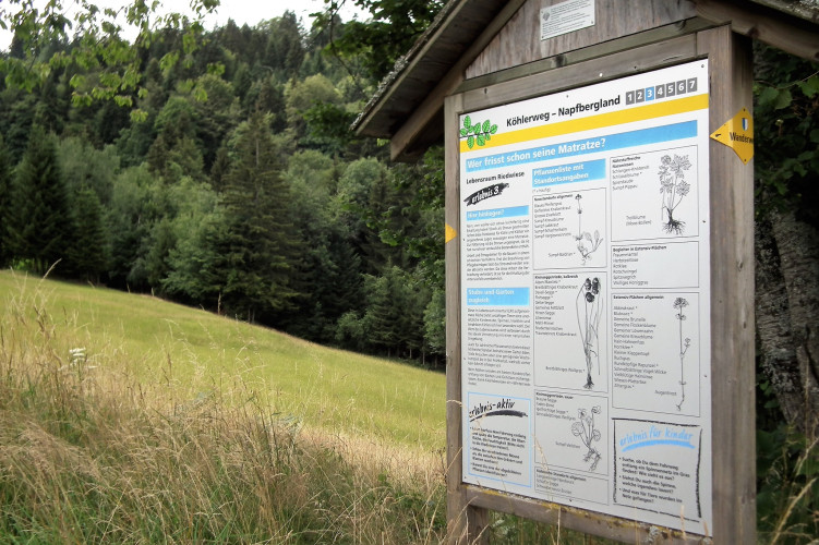
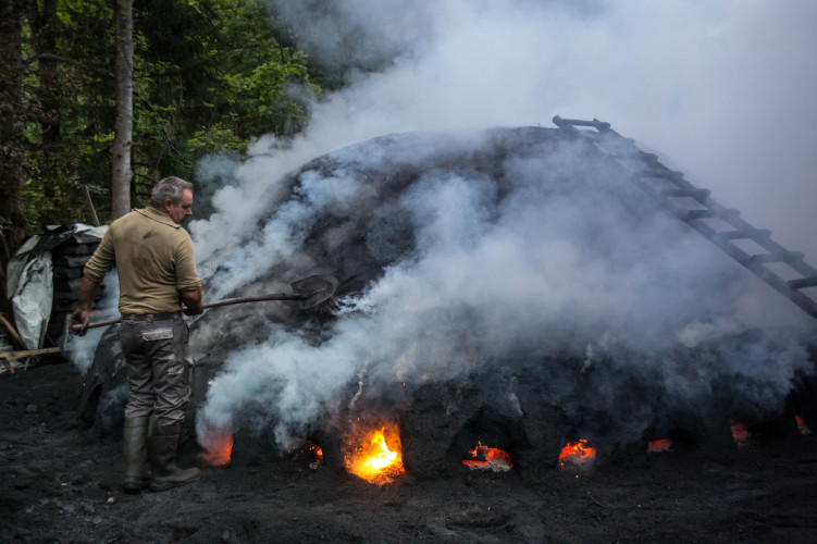


UNESCO Biosphäre Entlebuch
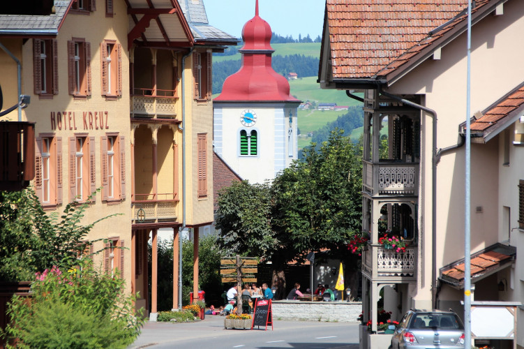
Kreuz hotel Romoos
The hotel Kreuz is located at the Zyberliland Romoos. The hotel was built in 1905/1906 and is listed as protected monument. Martin Röösli and his team attach great importance to a well-kept and fresh cuisine.
RestaurantHotelCafé