

Naturpark Pfyn-Finges
Schnydi
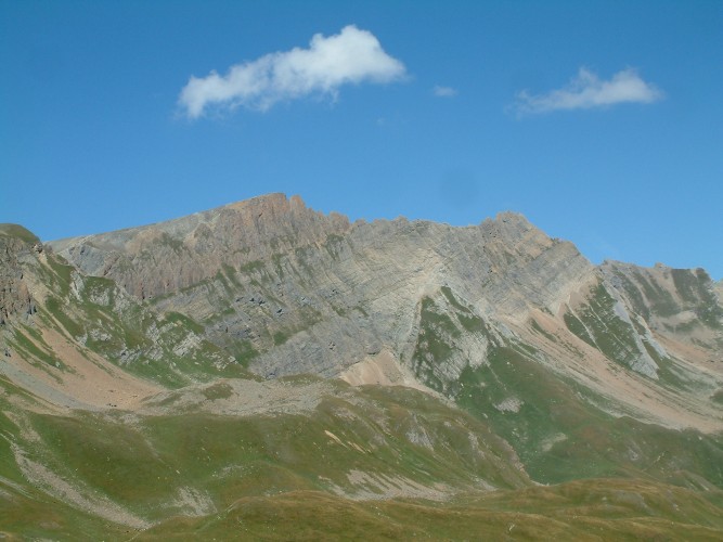
Viewpoint Schnydi
Viewpoint
All season
Naturpark Pfyn-Finges - Walking over hill and alp.
The walk passes 6 different alps. The fantastic view of the Valais mountain world, marmots and bearded vultures are among the points of interest on this walk.
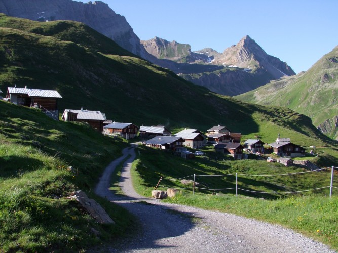
In order to escape the late summer heat we copy the shepherds and flee to the high Alps. During our walk we pass diverse alpine pastures, where still today herds of cattle graze the juicy mountain meadows in summer. We start from the Rinderhütte, which we reach by bus and cable car from Leukerbad. From there we follow the hiking trail to the Wysse See and on the way pass the viewpoint Schnydi, from where we can enjoy a fantastic view of the Valais mountains.
We leave the highest point of our walk at the lake behind us and tramp down to the Galm Alp. Then continue over the Obru Alp to Bachalp, which lies nestled in the slopes on both sides of the stream. Our alpine tour takes us further to Niwenalp and over underi Fäsilalpu to Jeizinen, where we allow ourselves to take the cable car for the final stage down to the valley. The bus then brings us to Gampel/Steg railway station.