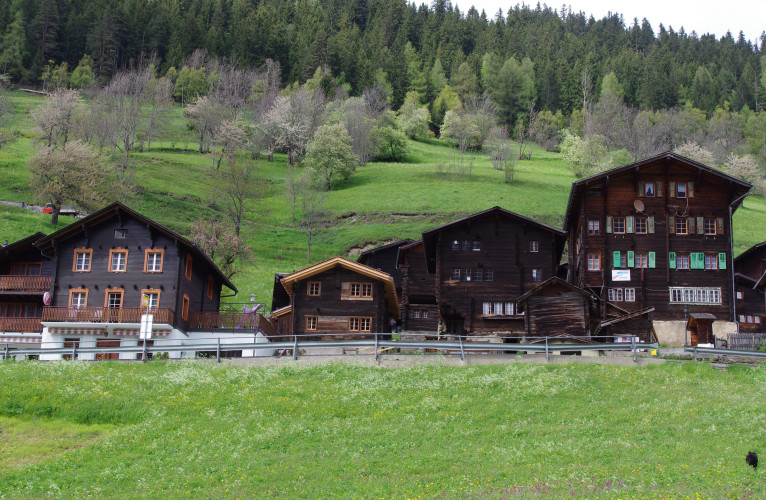
Ausserbinn – Steinmatten
Hiking trail
Time required: 40 minutesLength: 1.80 km
Season
All season
Contact
Tourismusbüro ErnenLandschaftspark Binntal
Hengert 17
3995 Ernen
Tel. +41 27 971 50 55
Landschaftspark Binntal -
Currently partly closed
The shortest route between Ausserbinn and Steinmatten is to take the motorway to "Lätze Üsserbi" and then continue on the hiking trail to the Steinmatten tunnel portalRoute-information
Route-information
- Length
- 1.80 km
- Vertical heigth
- 40 m
- Time required
- 40 minutes
Height profile view map
Details
A varied alternative leads from the Postbus stop in Ausserbinn on steep hiking trails, which are slippery in wet weather, down to the Binna, over a suspension bridge to the other side of the valley and then on a wide path to the Schärtbrücke, a late medieval stone arch bridge, and from here also uphill to the Steinmatten tunnel portal
Signalization
YellowPossibilities for catering
Restaurant Jägerheim AusserbinnArrival
- Starting point
- Ausserbinn (Altitude: 1305 m)
- Arrival by public transport
- Ausserbinn Timetable SBB
- Destination
- Steinmatten (Altitude: 1345 m)
- Arrival by public transport
- Steinmatten Timetable SBB
Suitable for
The offer is suitable for
- Adults
- Children < 6 years
- Children from 7-12 years
- Children >12 years
- 50+
- Families
- Groups