Gros Mont – Château-d’Œx
Season
Mai, June, July, August, SeptemberContact
Parc naturel régional Gruyère Pays-d'EnhautPlace du Village 6
1660 Château-d'Œx
Tel. +41 (0)848 110 888
www.gruyerepaysdenhaut.ch
Parc naturel régional Gruyère Pays-d'Enhaut -
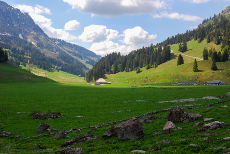
The hike starts at the Alpine Bus terminus parking lot, then crosses the Gros Mont plain. Along the way, you can admire the Chapelle Saint-Jacques and the Chalet du Jeu de Quilles with its tavillon roof, famous for the production of Gruyère AOP and Vacherin Fribourgeois AOP. The route then crosses the cantonal border between Vaud and Fribourg, marked by a dry-stone wall currently being restored in partnership with the Park.
Once inside the Vanil Noir reserve, the trail climbs along the Morteys stream. Around 500 m from the Chalet des Marindes, at point 1705, the route branches off to the left, below the Dent des Bimis. After crossing the other side, the trail begins its descent into the Pays-d'Enhaut along the Bimis, in a wild, mineral environment. The route leads to the Doréna, Paray Doréna and Paray Charbon chalets, where a dry-stone wall, also restored with the help of the Park, demarcates the pastures. The descent to Château-d'Œx offers magnificent views of the Rocher du Midi and the Pays-d'Enhaut.
Route-information
Route-information
- Length
- 16.60 km
- Altitude difference ascent
- 729 m
- Altitude difference descent
- 1129 m
- Time required
- 5 hours 20 minutes
Arrival
- Starting point
- Charmey
- Arrival by public transport
- Charmey, Gros Mont Timetable SBB
- Destination
- Château-d'Œx
- Arrival by public transport
- Château-d'Œx, gare Timetable SBB
Suitable for
The offer is suitable for
- Adults
- Children >12 years
- 50+
- Families

