La Grande Traversée - Stage 2
Hiking trail
Time required: 4 - 6hLength: 14.00 km
Season
All season
Contact
Parc naturel régional Jura VaudoisRte du Marchairuz 2
1188 Saint-George
Tel. +41 22 366 51 70
www.parcjuravaudois.ch
Links
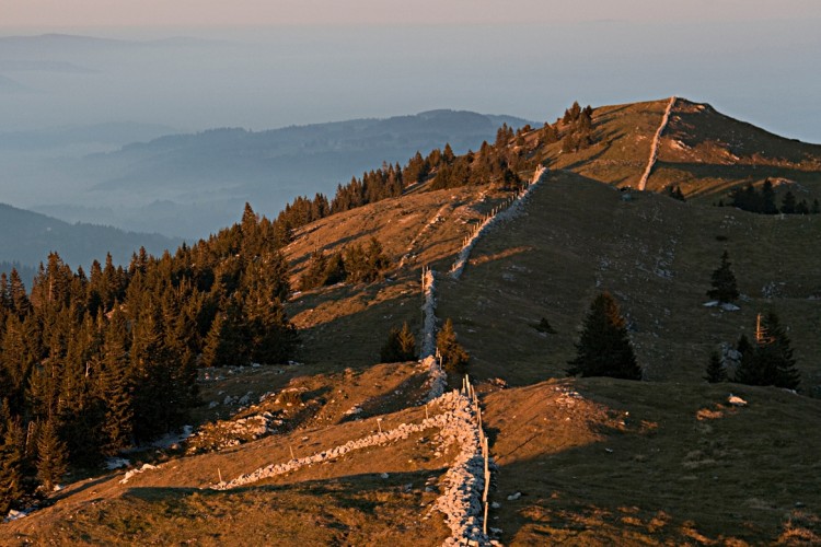
Parc naturel régional Jura vaudois - From the Marchairuz pass, the trail follows the Jura crest to its highest point, the Mont Tendre (1679m) which offers an outstanding view. You then go back down to Montricher.
Route-information
Route-information
- Length
- 14.00 km
- Altitude difference ascent
- 470 m
- Altitude difference descent
- 1170 m
- Time required
- 4 - 6h
- Level technique
- Middle
- Level condition
- Middle
Height profile view map
Details
Signalization
Follow SwitzerlandMobility's n°5 Route (green marking) from the Marchairuz pass to the Mont Tendre and then the yellow-marked footpaths.Possibilities for catering
Partners:- Aux 2 sapins pub in Montricher
Arrival
- Starting point
- Col du Marchairuz (Altitude: 1447 m)
- Arrival by public transport
- Le Marchairuz, col Timetable SBB
- Destination
- Montricher (Altitude: 750 m)
- Arrival by public transport
- Montricher Timetable SBB
Suitable for
The offer is suitable for
- Adults
- Children >12 years
- 50+
- Groups