06 Murtaröl
Hiking trail
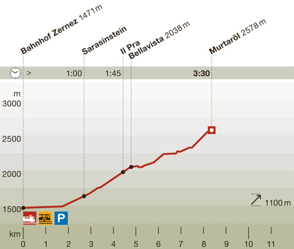
Time required: 3 hours 30 minutesLength: 8.00 km
Season
June, July, August, September, OctoberContact
NationalparkzentrumUrtatsch 2
7530 Zernez
Tel. +41 (0)81 851 41 41
Mobile -
www.nationalparkzentrum.ch
Schweizerischer Nationalpark -
Open
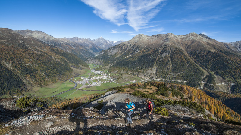
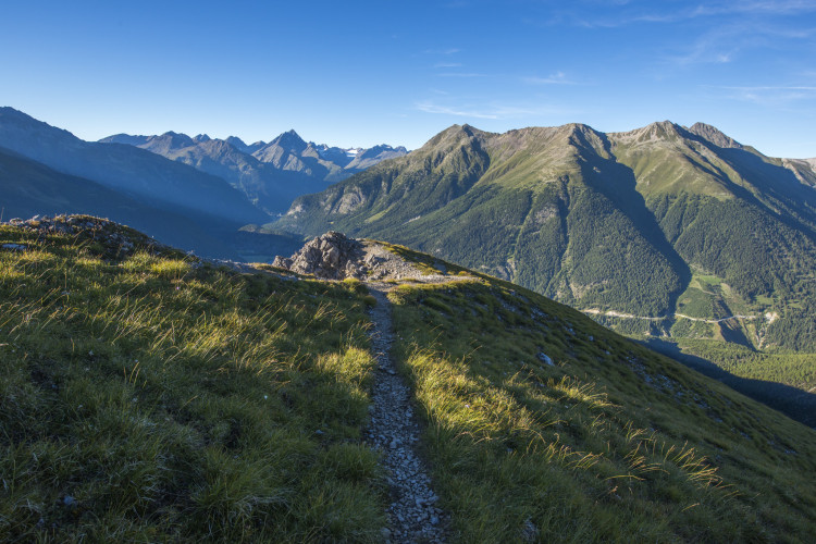
This varied walk requires a certain amount of effort and is not often undertaken. It offers wonderful views into the Cluozza valley, towards the Engadine and the dominating peak of Piz Linard.With a little luck visitors may catch a glimpse of a ptarmigan, whilst chamois can be seen at any time along the way.
Particularities
View into Val Cluozza, Piz Linard and towards the upper Engadine; chamois, possibly ptarmigan, view into Val Tantermozza.
Follow-up hikes
The combination of ascent over the west flank and descent over the north ridge (point 2408) is beautiful.
Route-information
Route-information
- Length
- 8.00 km
- Vertical heigth
- 1100 m
- Time required
- 3 hours 30 minutes
- Level technique
- Middle
- Level condition
- Middle
Height profile view map
Details
Difficulty: white-red-white / medium
Hiking sticks can be helpful for the long and sometimes steep descent.
Arrival
Train station in Zernez, possibly bus stop: Zernez, Center Parc Naziunal.
Infrastructure
- Picnicplace
Arrival
- Starting point
- Zernez, Staziun oder Zernez, Center dal Parc (Altitude: 1471 m)
- Arrival by public transport
- Zernez Timetable SBB
- Destination
- Murtaröl (Altitude: 2578 m)
Suitable for
The offer is suitable for
- Adults
- Children from 7-12 years
- Children >12 years
- 50+
- Families
- Groups


