Gürbetaler Höhenweg (SwitzerlandMobility 380)


Season
January, February, March, April, Mai, June, July, August, September, October, November, DecemberContact
Naturpark GantrischFörderverein Region Gantrisch
Schlossgasse 13
3150 Schwarzenburg
Tel. +41 (0)31 808 00 20
www.gantrisch.ch
Naturpark Gantrisch -
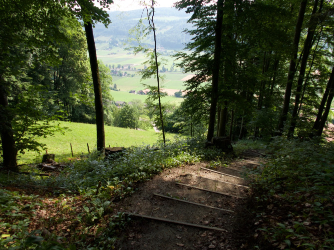
This day hike leads along the eastern flank of the Längenberg on natural paths with gentle ups and downs to the Gürbebadi in Mühlethurnen. Picnic areas, barbecue sites and benches as well as several farm shops are recommended for a break.
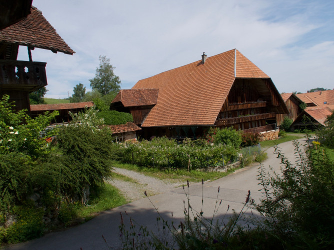
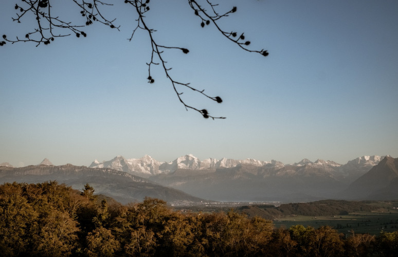
The starting point of this hike is Kehrsatz. After a short climb up the flank of the Längenberg, the Gürbetaler Höhenweg leads gently up and down on natural paths through fertile land and sparse forests. A dreamlike, intact landscape lies before the hiker and the snowy mountains rise into the sky in the background. Old, flower-adorned farmhouses line the path.
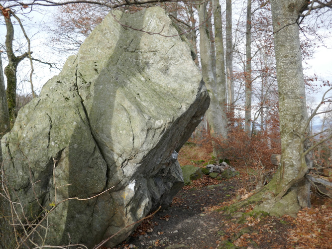
One attraction along the way is the hamlet of Fallenbach, probably the best-preserved hamlet on the Längenberg. Picnic areas, benches and several inns are recommended for a break.
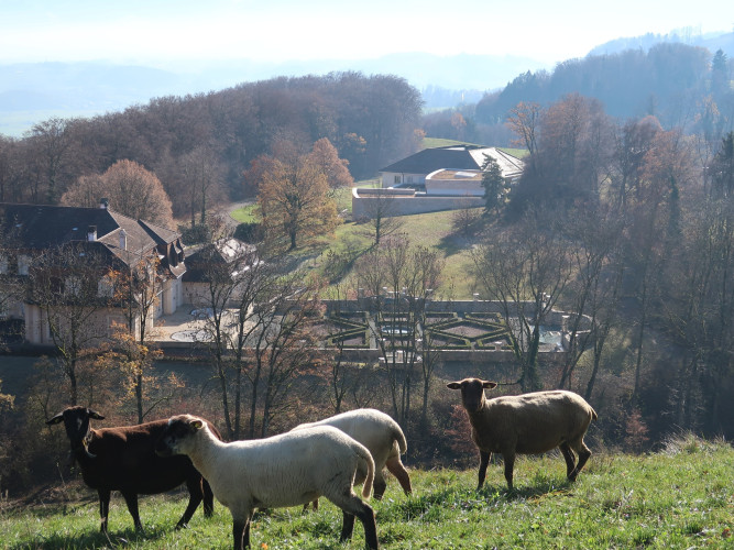
The village of Riggisberg is already close to the end of the hike. Lake Thun can already be seen. Here the Gürbetaler Höhenweg passes the internationally outstanding textile museum of the Abegg Foundation.
Route-information
Route-information
- Length
- 18.22 km
- Altitude difference ascent
- 553 m
- Altitude difference descent
- 597 m
- Time required
- 5 hours 30 minutes
- Level technique
- Easy
- Level condition
- Middle
Details
Equipment / Equipment rent
Normal hiking equipment
Arrival
- Starting point
- Bahnhof Kehrsatz
- Destination
- Bahnhof Thurnen
Suitable for
The offer is suitable for
- Adults
- Children < 6 years
- Children from 7-12 years
- Children >12 years
- 50+
- Families
- Groups