Hydropower cultural trail
Hiking trail
Time required: 2 hoursLength: 5.00 km
Season
All season
Contact
Tourismusbüro ErnenLandschaftspark Binntal
Hengert 17
3995 Ernen
Tel. +41 27 971 50 55
Landschaftspark Binntal -
Open
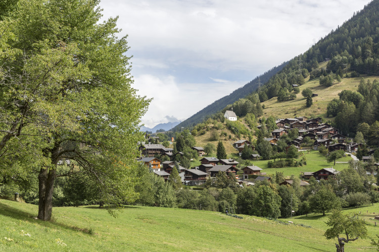
Beautiful hike around the theme of water, starting in Mühlebach and ending at WasenThe "Wasserkraft" cultural trail begins at the bridge over the Milebach stream at the western entrance to the village of Mühlebach. It then climbs steeply up the village road to the uppermost village fountain. From there, first follow the path to Chäserstatt and then the lowest path to the water catchment at Milebach (around 500 metres in total). Back in the village, you will discover the powerhouse of the hydroelectric power station. Pass the old bakery, cross the stream and climb steeply up to the Trusera water channel, which you follow up to the Wasen.
Route-information
Route-information
- Length
- 5.00 km
- Vertical heigth
- 100 m
- Altitude difference ascent
- 300 m
- Altitude difference descent
- 200 m
- Time required
- 2 hours
Height profile view map
Details
Signalization
YellowPossibilities for catering
B&B HängebriggaInfrastructure
- Playground
- Picnicplace
- Fireplace
- Toilet
Arrival
- Starting point
- Mühlebach (Altitude: 1200 m)
- Arrival by public transport
- Ernen, Mühlebach Timetable SBB
- Destination
- Wasen, Ernen (Altitude: 1200 m)
- Arrival by public transport
- Ernen, Wasen Timetable SBB
Suitable for
The offer is suitable for
- Adults
- Children < 6 years
- Children from 7-12 years
- Children >12 years
- 50+
- Families
- Groups