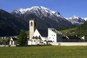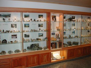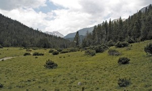
Biosfera Val Müstair
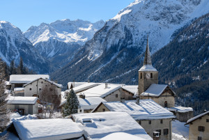
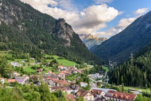
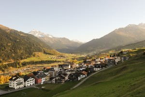
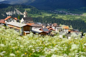
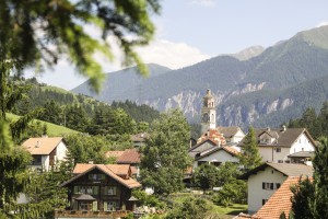
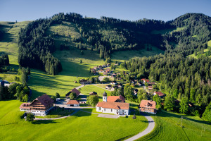
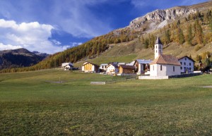
Lü village
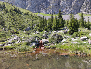
Lü is the smallest village of the Val Müstair municipality. Lying on a sloping terrace over the valley, Lü offers ideal conditions for sun enthusiasts. In Lü the sun still shines when it has long disappeared in other parts...
Site