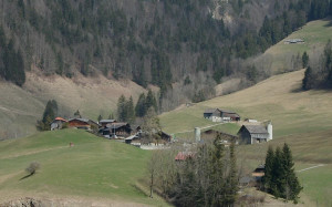
Parc naturel régional Gruyère Pays-d'Enhaut
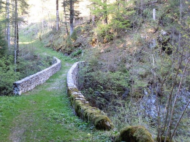
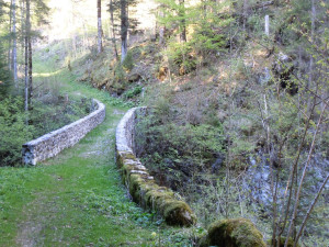
Pontet Bridge
It can already be observed on a map from 1578. Threatening to crumble and fall, the bridge was restored 1993. During this restoration work the original paving was rediscovered revealing ruts characteristic of horse-drawn cart passage.
Historical building