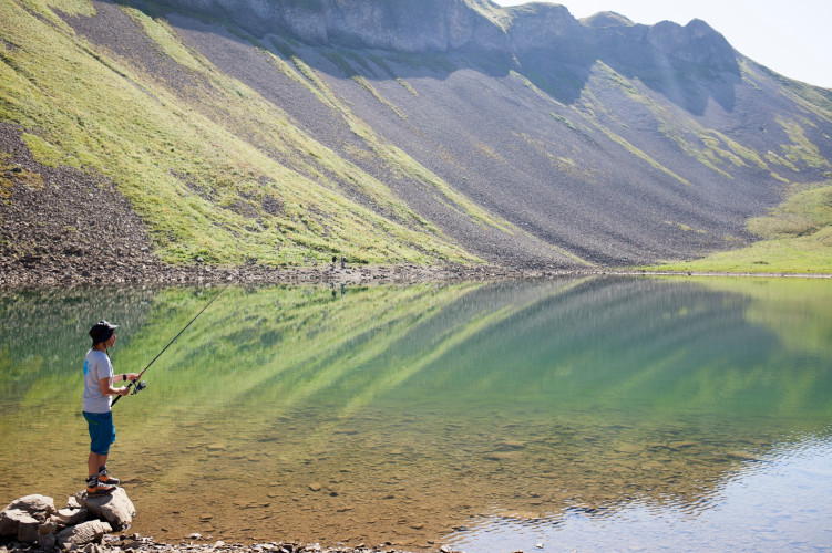
UNESCO Biosphäre Entlebuch
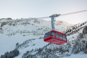
Luftseilbahn Brienzer Rothorn
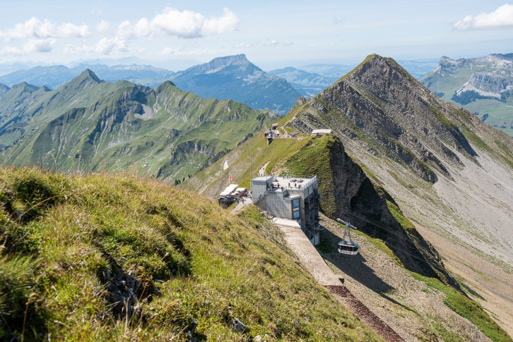
Auf das Brienzer Rothorn, den höchsten Punkt des Kantons Luzern, gelangen Sie bequem in weniger als 10 Minuten mit der Luftseilbahn.
Infrastructure SummerInfrastructure WinterFunicular
UNESCO Biosphäre Entlebuch - Mountain walk with wonderful views at the outset from Lucerne's highest peak
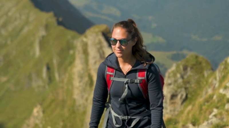
The starting point of the hike is on the ridge of the Brienzer Rothorn, which you can easily reach by aerial cableway: fantastic views of Brienz, Lake Brienz and the Bernese Alps. Descend towards Lake Eisee and from there towards Schönebode.
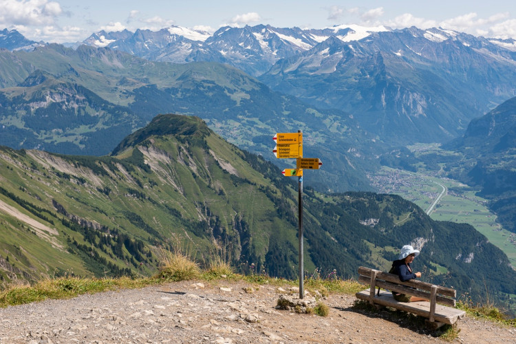
Brienzer Rothorn - Eisee - Schönenboden
Informationen zum aktuellen Zustand des Wanderwegnetzes von Sörenberg-Flühli erhalten Sie täglich auf der Panoramawanderkarte.
Aerial cableway Sörenberg - Brienzer Rothorn
Auf das Brienzer Rothorn, den höchsten Punkt des Kantons Luzern, gelangen Sie bequem in weniger als 10 Minuten mit der Luftseilbahn.
Herzlich willkommen auf dem #FototrailRothorn - sponsored by Raiffeisen.
