Hike to the Meienfall lake


Season
June, July, August, September, OctoberLinks
Naturpark Diemtigtal - On this lake hike, it is not only the destination that is worthwhile: let yourself be surprised by the varied panorama along the way and enjoy the pure mountain air to the full.
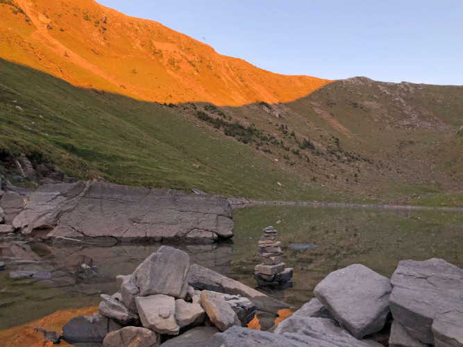
Always accompanied by the tinkling of cowbells, you doubt that the small lake will appear with its fascinating turquoise-blue colour until the last few metres before your destination. So well hidden is the idyllic Meienfall lake off the beaten track in the Diemtigtal Nature Park. But the sight of the mountain lake exceeds all your expectations and impresses. How about a dip in the cool water on a hot day?
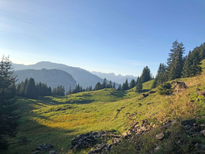
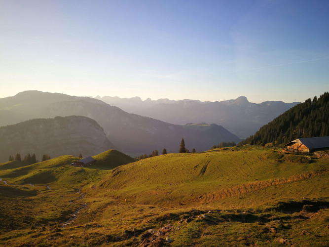
Even if you have to take the same way back as you did on the way up, the views will surprise you and offer variety. On the way, you will be joined by many an alpine dweller, because in summer it is not only the farmers' families who are at home here, but also their animals. You should therefore not shy away from encounters with cows and horses.
Route-information
Route-information
- Length
- 13.25 km
- Altitude difference ascent
- 728 m
- Altitude difference descent
- 728 m
- Time required
- 4 hours 30 minutes
- Level technique
- Easy
- Level condition
- Middle
Details
A hiking map is available from the Diemtigtal Nature Park office.
Diemtigtal Nature Park
Bahnhofstrasse 20
3753 Oey
Phone +41 33 552 26 00
info@diemtigtal.ch
www.diemtigtal.ch
Equipment / Equipment rent
Mountain boots, clothing appropriate to weather (sun/rain protection), food and sufficient drinks for the waySignalization
Follow the trail from the Gsässweid Inn along the tarred road up to "Widbodme", where the route continues on a gravel path. Via "Under Mechlistall" you reach "Under Meiefall", from where the trail climbs to lake Meienfall. The trail is signposted as a mountain trail with yellow directional signs or trail markers.Safety advices
Your hike will take you through a variety of pastures - always keep your distance from the four-legged alp inhabitants.Arrival
- Starting point
- Gasthaus Gsässweid (Springenboden), Horboden
- Destination
- Gasthaus Gsässweid (Springenboden), Horboden
Suitable for
The offer is suitable for
- Adults
- Children >12 years
- 50+