Navigating the Swiss Parks Website
Map
i

Chäserstatt Trail

Sledging trail
Time required: 1 hour 45 minutesLength: 2.30 km

Season

January, February, March, April, December

Contact

Tourismusbüro Ernen
Landschaftspark Binntal
Hengert 17
3995 Ernen
Tel. +41 27 971 50 55

Landschaftspark Binntal -

Currently closed
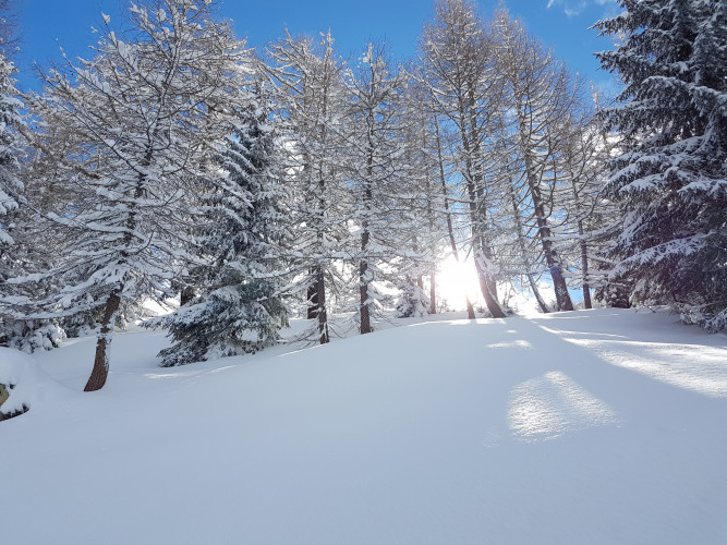
After a beautiful 2-hour ascent in the forest, the wonderful mountain panorama of Chäserstatt awaits you before you take the sledge back down to Mühlebach.

Route-information

Route-information

Length
2.30 km
Altitude difference ascent
577 m
Time required
1 hour 45 minutes
Level technique
Middle
Level condition
Middle
Height profile view map

Details

Equipment / Equipment rent

Sledges for hire in Sport Café in Ernen. Snowshoe rental is free with the Binntal Nature Park guest card. Mountain lodge on Chäserstatt with overnight accommodation. Hotels and restaurants in Ernen and in Mühlebach.

Safety advices

Staying on unmarked/unsupervised trails can be life-threatening due to the risk of falls and avalanches as well as crevasses. Accidents cannot be excluded.
Contents and tours are compiled to the best of available knowledge, but it cannot be guaranteed that all details are correct.

Possibilities for catering

Berghaus Chäserstatt, more restaurants in Ernen and in Mühlebach.

Arrival

Starting point
Chäserstatt (Altitude: 1778 m)
Destination
Mühlebach, Dorf (Altitude: 1248 m)
Arrival by public transport
Mühlebach (Goms), Dorf Timetable SBB

Suitable for

The offer is suitable for

  • Adults
  • 50+

Discovering underway

Landschaftspark Binntal

Historic village Mühlebach

Make a stop in the small hamlet and look at the sunburned houses: Mühlebach has the oldest village centre in Switzerland of timber construction. Here there is a signposted house trail leading to objects worthy of seeing.

SiteHistorical building
Landschaftspark Binntal

Chäserstatt mountain lodge

Chäserstatt is a beautiful sunny spot in Switzerland. On the large sun terrace you can enjoy the overwhelming view of the Valais Alps and the Rhone Valley to the Weisshorn.

HotelFarm restaurant

Map