Gantrischli snowshoe trail


Season
January, February, March, DecemberContact
Naturpark GantrischFörderverein Region Gantrisch
Schlossgasse 13
3150 Schwarzenburg
Tel. +41 (0)31 808 00 20
www.gantrisch.ch
Naturpark Gantrisch -
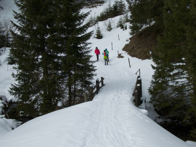
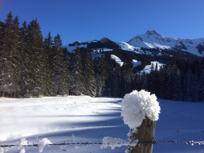
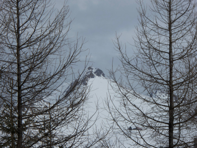
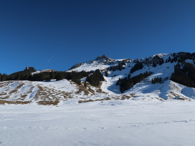
This snowshoe tour is pure nature: it leads through the Muscherntal valley past dense forests, over small bridges, thick logs and snow-covered stones. In view: the slopes of the Ättenberg and the summit of the Mära.
The Gantrischli snowshoe tour, marked with signposts, starts hidden in the Muscherenschlund, a natural side valley that can be reached via a road from Sangernboden. The circular route leads through the secluded, dreamy Muscherental valley. Locals say that you sometimes encounter the legendary dwarves from the Schwarzsee lake along the way. The starting point for the circular snowshoe tour is at the free Murenstöck car park. Alternatively, the starting point can also be reached on foot from the bus station in Sangernboden. This extends the hiking time by around 50 minutes.
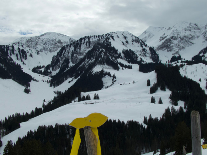
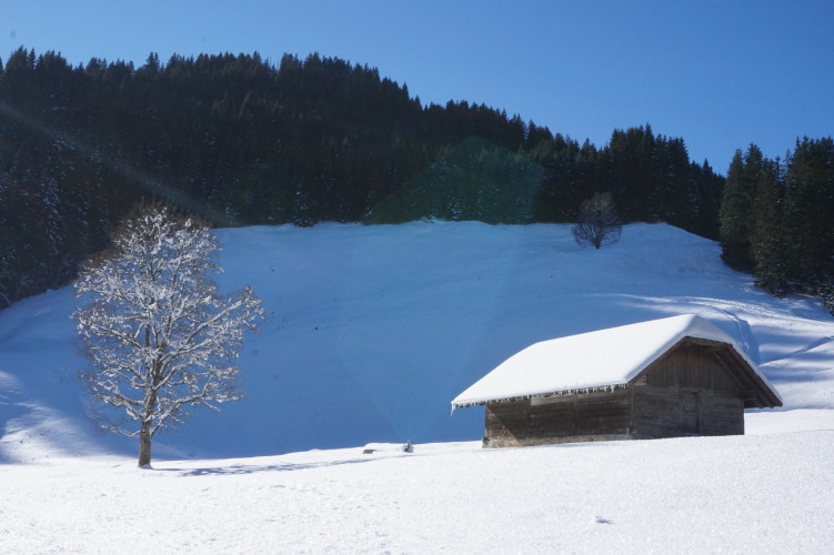
As soon as you leave the car park, you are immersed in an enchanted winter wonderland. The trees and bushes along the stream are often covered in wonderful hoar frost formations. The trail climbs leisurely along the mountainside through pastures, over small bridges and through sparse forests up to the Spittel Gantrisch. Past snow-covered limestone blocks, the trail descends to the stream. The slopes of the Ättenberg and the peaks of the Märe, Schafarnisch and Widdergalm are always in view. You rarely meet other people in this valley. Unexpectedly, about halfway along the route, there is a human sign: Smoke rises from the chimney of the popular Gantrischli Alpine hut. From mid-June to mid-September, the Gantrischli is also an alpine cheese dairy where milk from the entire Muscherental valley is processed into cheese - so there are plenty of winter supplies for all snowshoe hikers. Strengthened, the
Route-information
Route-information
- Length
- 6.79 km
- Altitude difference ascent
- 390 m
- Altitude difference descent
- 392 m
- Time required
- 2 hours 45 minutes
- Level technique
- Easy
- Level condition
- Middle
Details
Equipment / Equipment rent
Materialmiete
- Gurnigel Berghaus, Gurnigel (Selbstbedienung beim Langlaufverleih)
- Gantrisch Bike & Sport, Riggisberg
Arrival
- Starting point
- Parkplatz Murenstöck
- Destination
- Parkplatz Murenstöck
Suitable for
The offer is suitable for
- Adults
- Children from 7-12 years
- Children >12 years
- 50+
- Families
- Groups