Notre-Dame-des-Marches
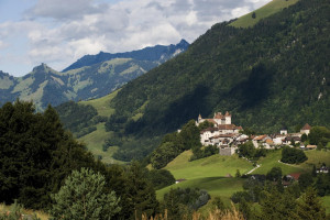
This chapel is the most important sanctuary dedicated to the Virgin Mary in the canton of Fribourg.
Parc naturel régional Gruyère Pays-d'Enhaut - Between nature, culture and heritage
The trail from Charmey to the medieval town of Gruyères is perfect for outdoor enthusiasts and history buffs. It follows the Jogne river, before crossing the Les Marches plain and the Sarine river.
The hike begins in Charmey and continues downhill to Lac de Montsalvens. From here, the path runs along the lakeshore, criss-crossing woodland and pastures until it reaches the arch dam, which has been in operation since 1921, and was the first of its kind in Europe. From there, the descent continues through a steep stretch of forest and along series of stairs, galleries and footbridges until it reaches the Gorges de la Jogne.
The Les Marches plain at the foot of the Dent de Broc was once a large marshland fed by the Sarine river. Cross the 'Pont qui branle' (swaying bridge), with its striking wooden shingle roof, and continue on to the beautifully preserved medieval town of Gruyères. Thanks to its hilltop position, the picturesque little town offers amazing views of the surrounding mountains and alpine pastures where the cheese that shares its name is made.
This chapel is the most important sanctuary dedicated to the Virgin Mary in the canton of Fribourg.
This dam, located along the Jogne river, is responsible for Montsalvens lake. Built between 1918 and 1921 by engineer Heinrich Eduard Gruner, it was the first arch dam in Europe with both horizontal et vertical curves. 52m high and 110m long, its con...

Nesting in the center of the Jogne valley, Charmey is a subalpine village at about 900 meters elevation. Its population (more than 1800 people) is growing: its location is prized for its high quality of life. Living traditions, beautifully preserved...

The history of the town of Gruyères is intimately tied to that of the family of counts of the same name. Mentioned for the first time in the 12th century, they distinguish themselves by their title (very few held this title amongst the counts of Sav...

Nesting in the Fribourg Pre-alps, the medieval city of Gruyères is the ideal jump off point for hikers. The castle dominates a green hill at the foot of the Moléson and at the junction of the Jogne and Intyamon Valleys. Its walls swim in legends, its...
The Jogne Gorge is a deep gash in the Earth sculpted by underground stream systems. The gorge links the Jogne Valley, at 800 m altitude, to the Sarine Valley, about 100 meters below. About 2 km long, the gorge is very narrow, with steep vertical side...

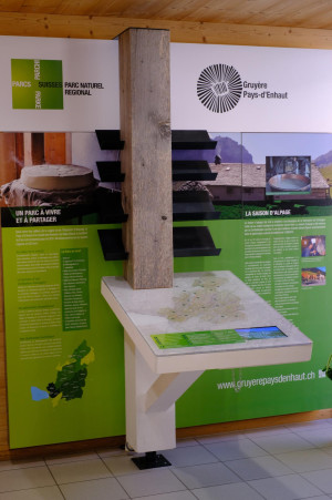
This information point in the laiterie fromagerie de Charmey visitor centre is given over entirely to the SUMMER-GRAZING SEASON
The destinations featured here will allow you to explore, at your own pace, the different facets of this age-old alpine f...
To optimise your experience on our website we use cookies. Privacy policy aI agree
