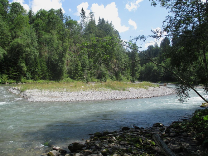
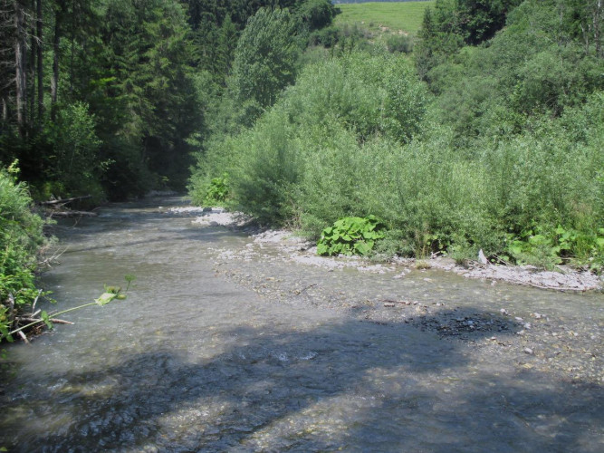
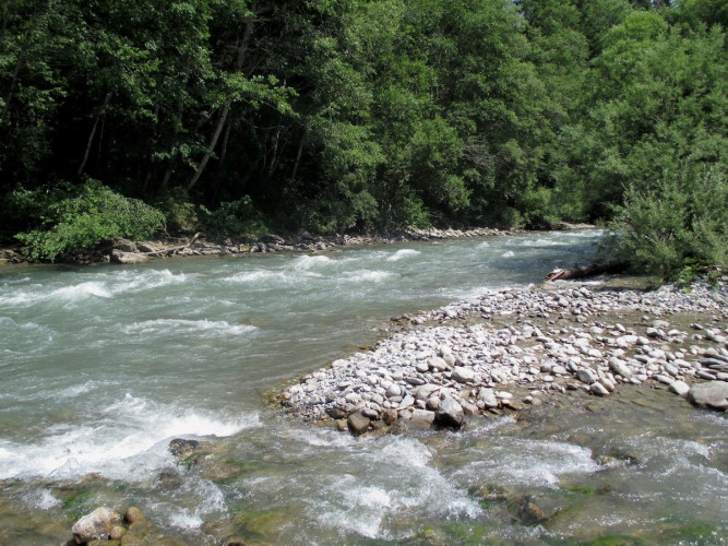
Parc naturel régional Gruyère Pays-d'Enhaut - The Sarine Alluvial Zone is located south of the village of Château-d’Œx, at 900 altitude. The environment through which the Sarine flows remains close to its natural state, with an impressive variety of flora. Because this section of the Sarine is neither altered nor restrained, the dynamic of the river and the location of different channels in the alluvial zone is constantly changing.
Between Gérignoz and Turrian Bridge, the Sarine only descends 19 m in altitude as it travels over 2 km. This extremely gradual slope allows the river to separate into several channels and form small stone islands, often covered by pioneer vegetation. Periods of high water levels sometimes modify the path of the Sarine. Some islands disappear while others are created. Thanks to this dynamic, the alluvial zone harbors the largest grove of alpine white alders in the canton of Vaud, a species capable of growing very quickly on islands and riverbanks. The piscicultural fauna and certain nesting birds (s
uch as the common sandpiper) contribute to the wealth of this alluvial zone of national importance.
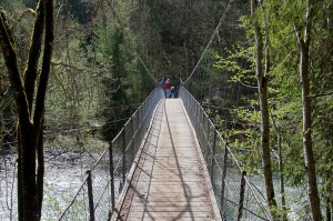
A pedestrian trail wanders the alluvial zone. The Turrian suspension bridge, built in 1883, is the oldest suspension bridge in french-speaking Switzerland. The bridge allows access to both riverbanks. Several picnic areas are dispersed throughout the alluvial zone.