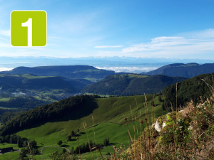
Landschaftspark Binntal
Ernen – Goms Bridge – Gibelegga – Fiesch – Ernen
Open
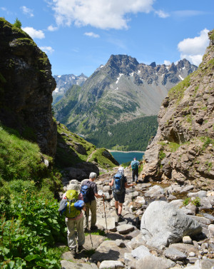
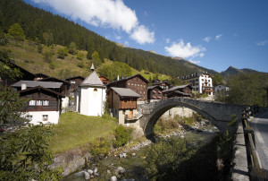
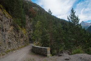
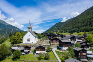
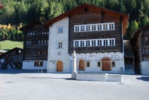
This short circular walk leads from Ernen Mühlebach across the suspension bridge to Fiesch. From there, it continues towards Niederernen and back to Ernen.
Hiking trail
Time required: 2 hours 30 minutesLength: 7.87km