

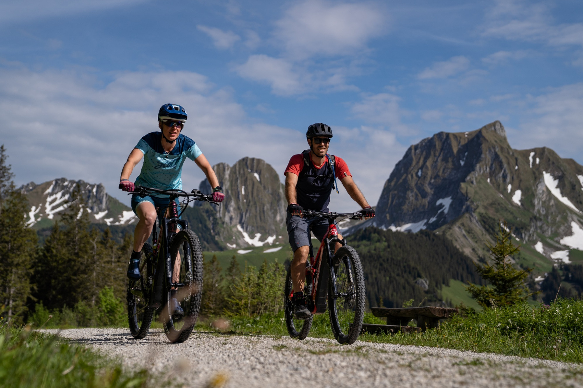
Gantrisch Königsroute (SchweizMobil 502)
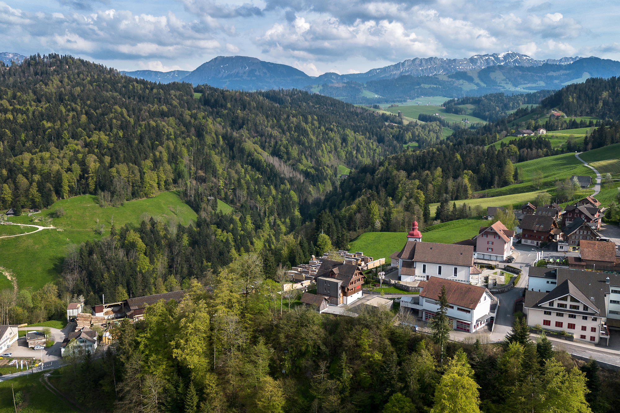
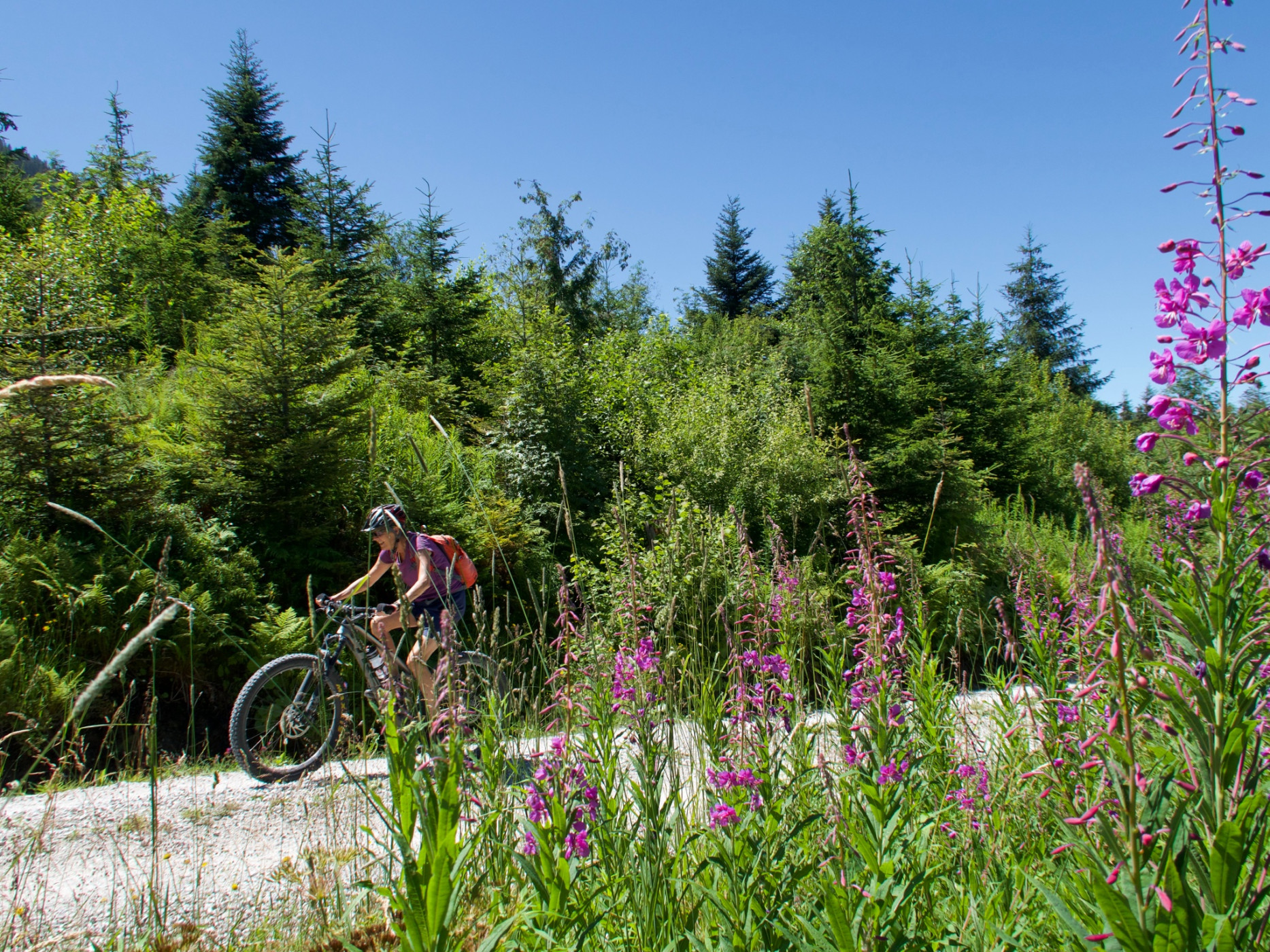
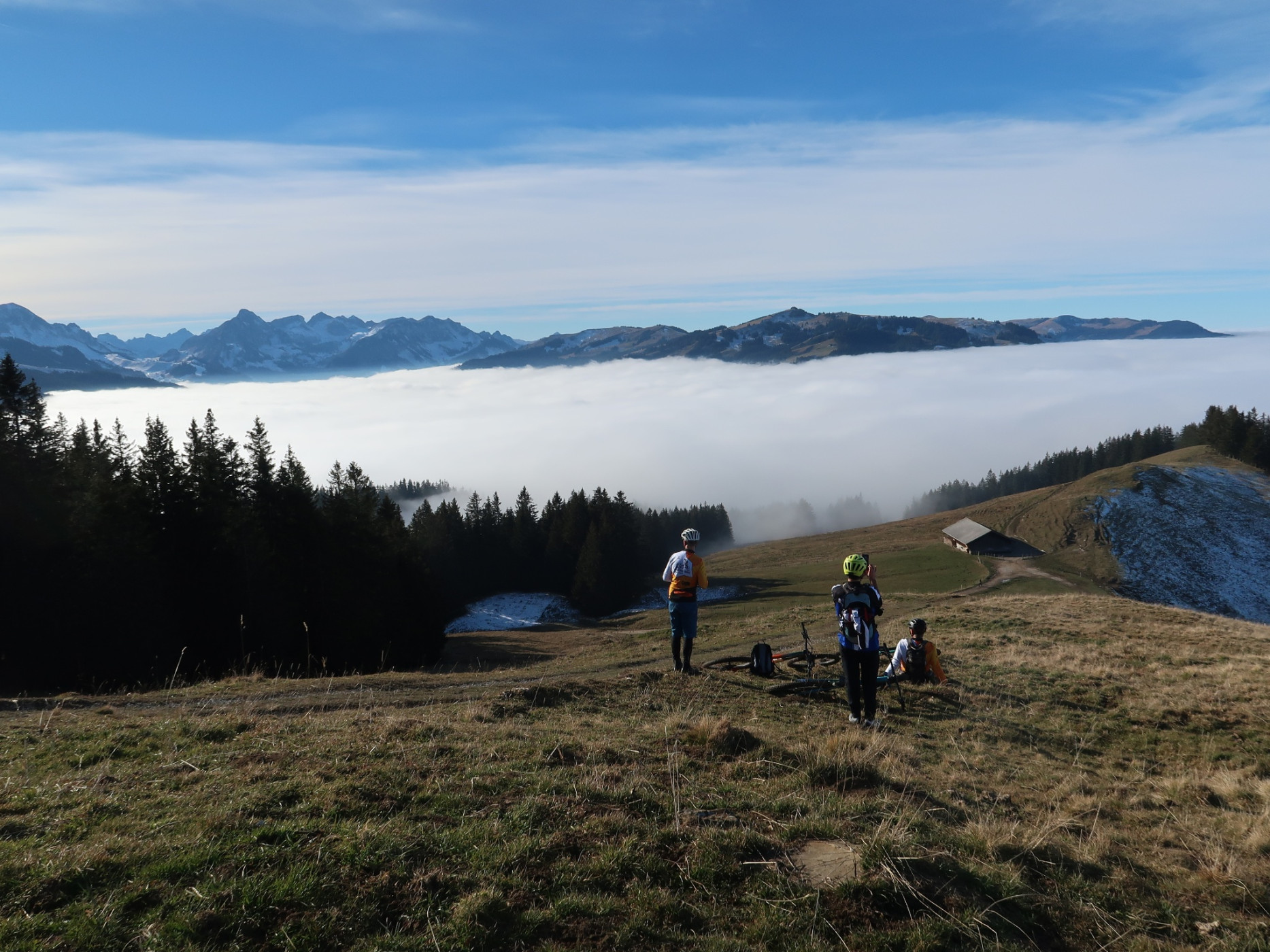
Naturpark Gantrisch - The Gantrisch Königsroute is a great circular route with views over the ridge. Starting in Riffenmatt, the route leads into Selital and then over the Horbühl Pass and the Hällstett back again. Enjoy the wonderful view over the entire Central Plateau to the Jura!
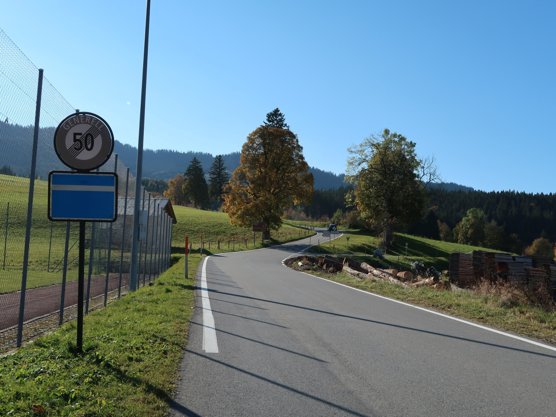
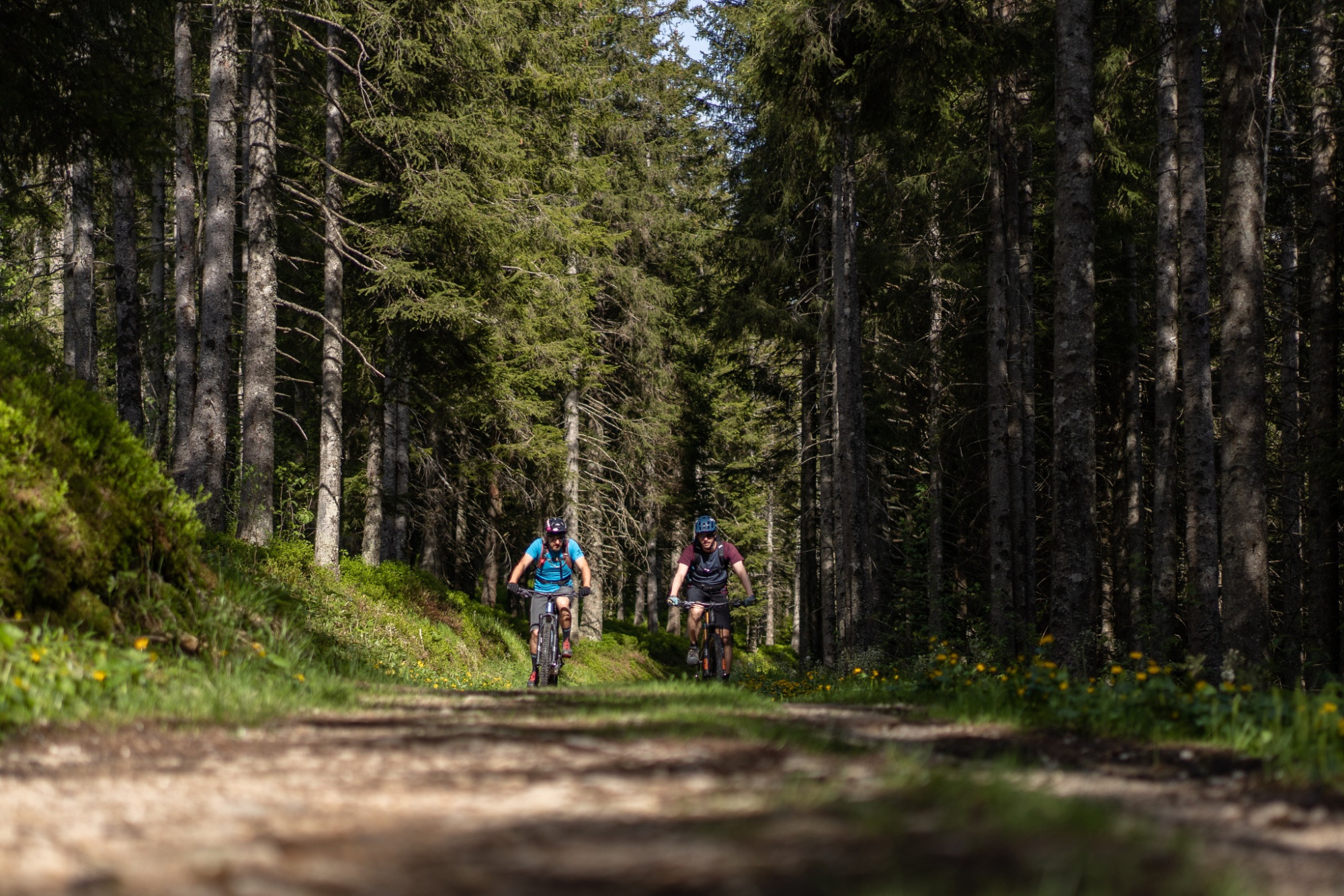
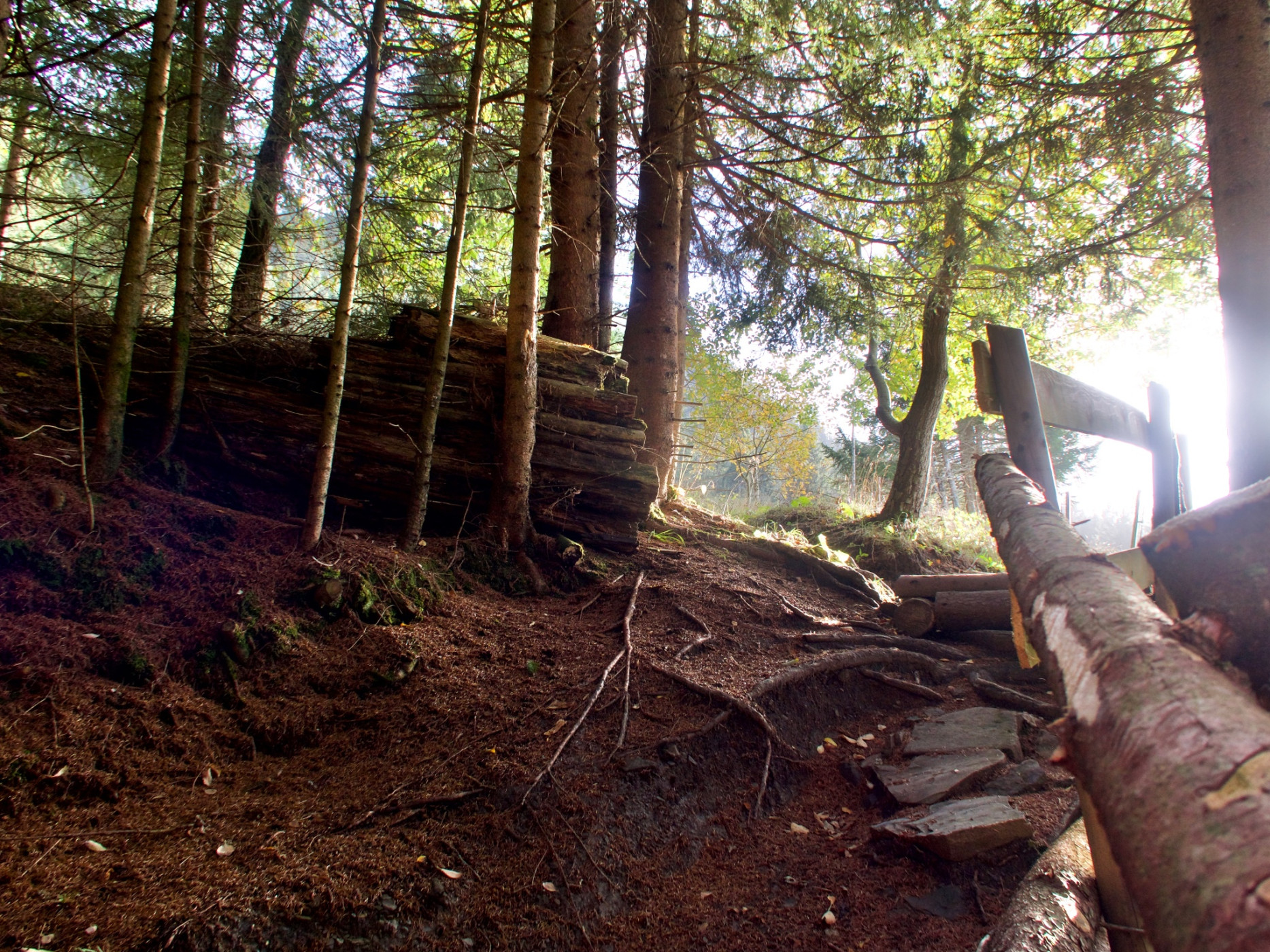
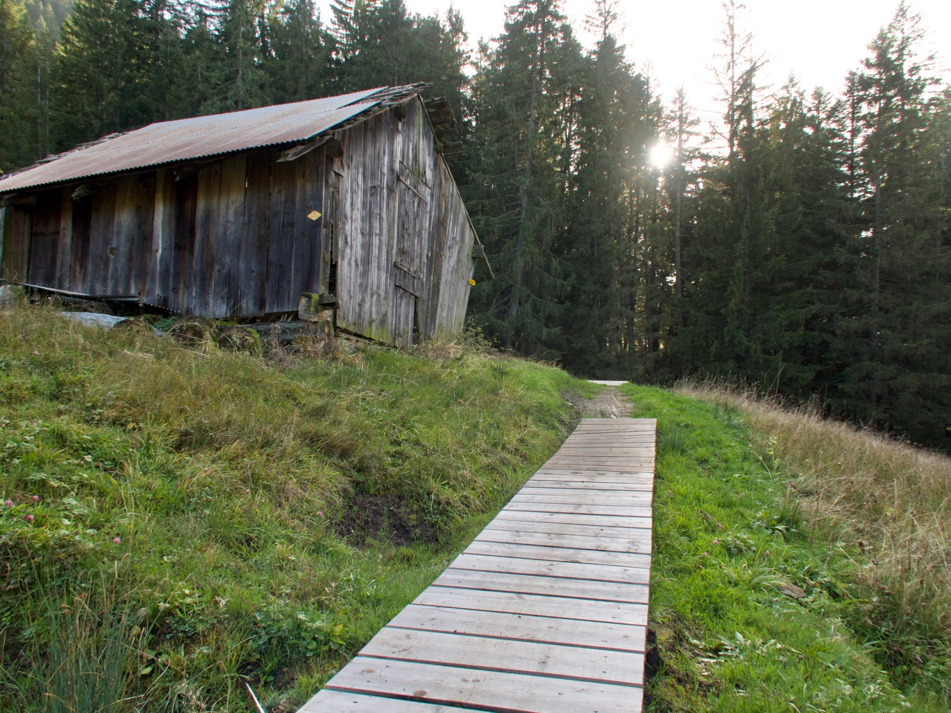
The start is in Riffenmatt. After an initial ascent, the route passes the old moor baths. The Schwarzwasser is crossed in the Tröligraben. A descent leads down to Eywald, which is also an alternative starting point for the circular route. First on an asphalted alpine path, later from Schleifgraben on natural paths, the route steadily climbs to 1,540 m above sea level.
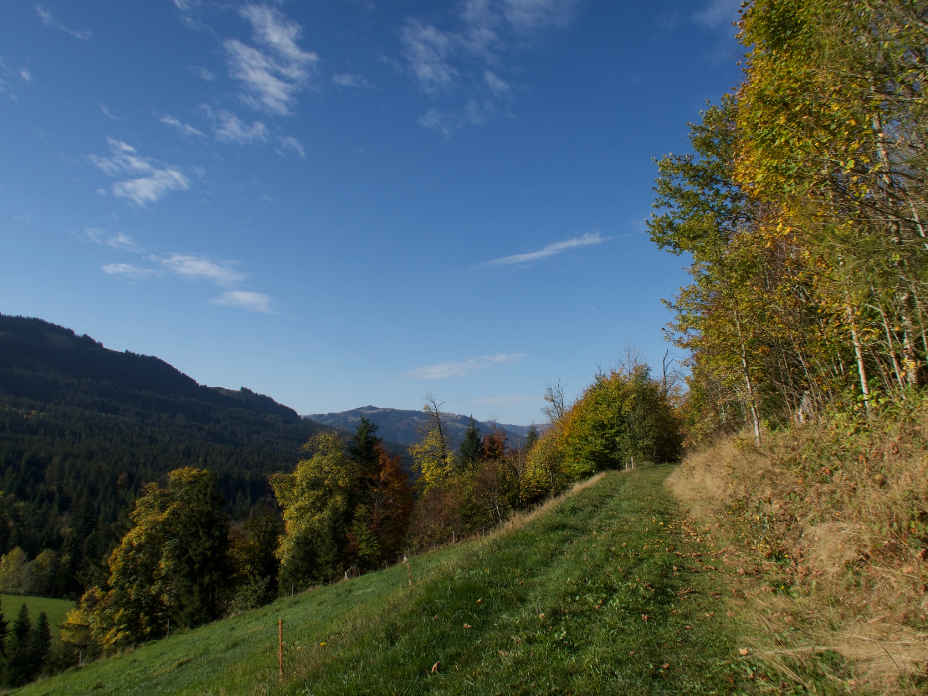
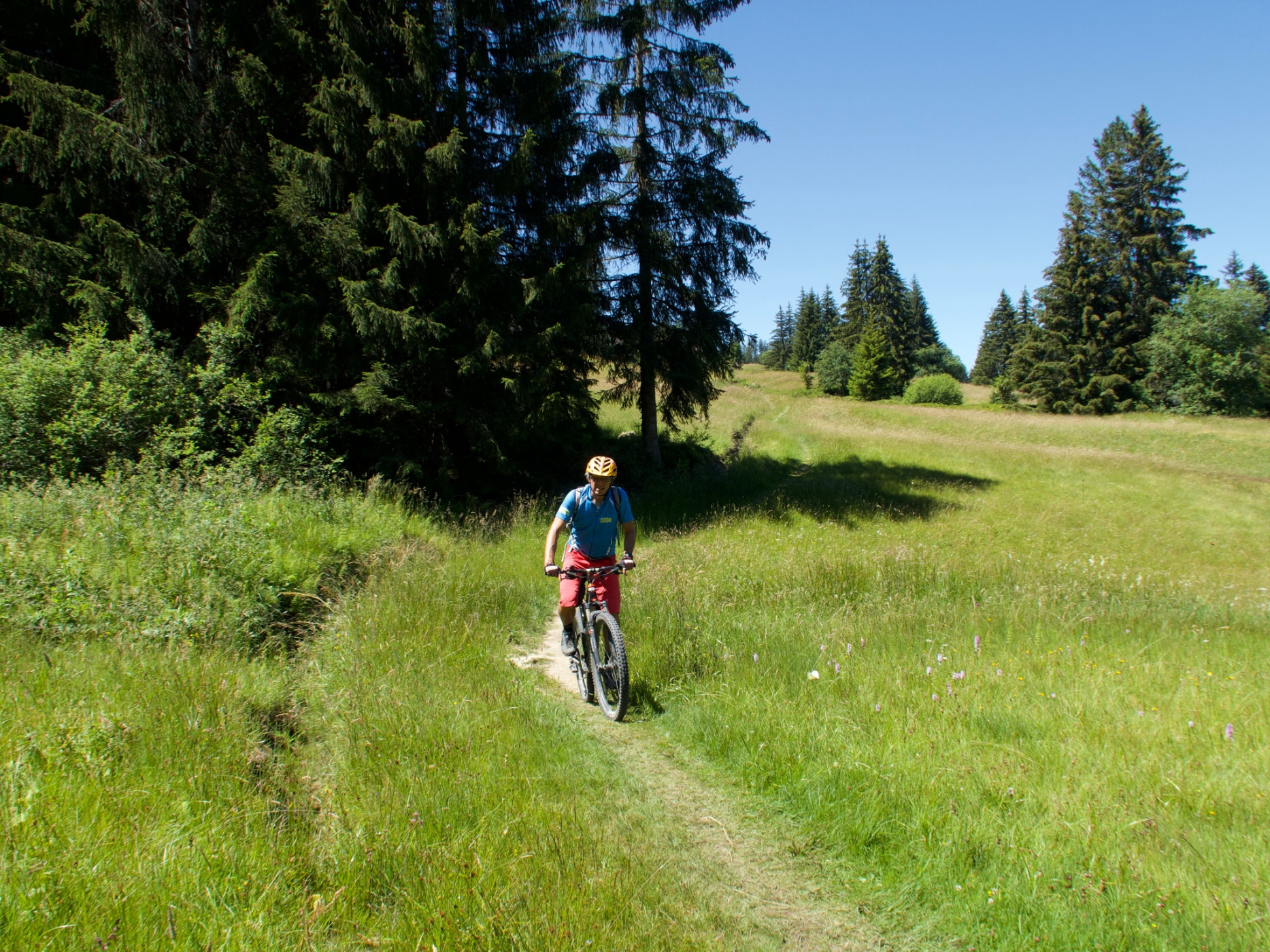
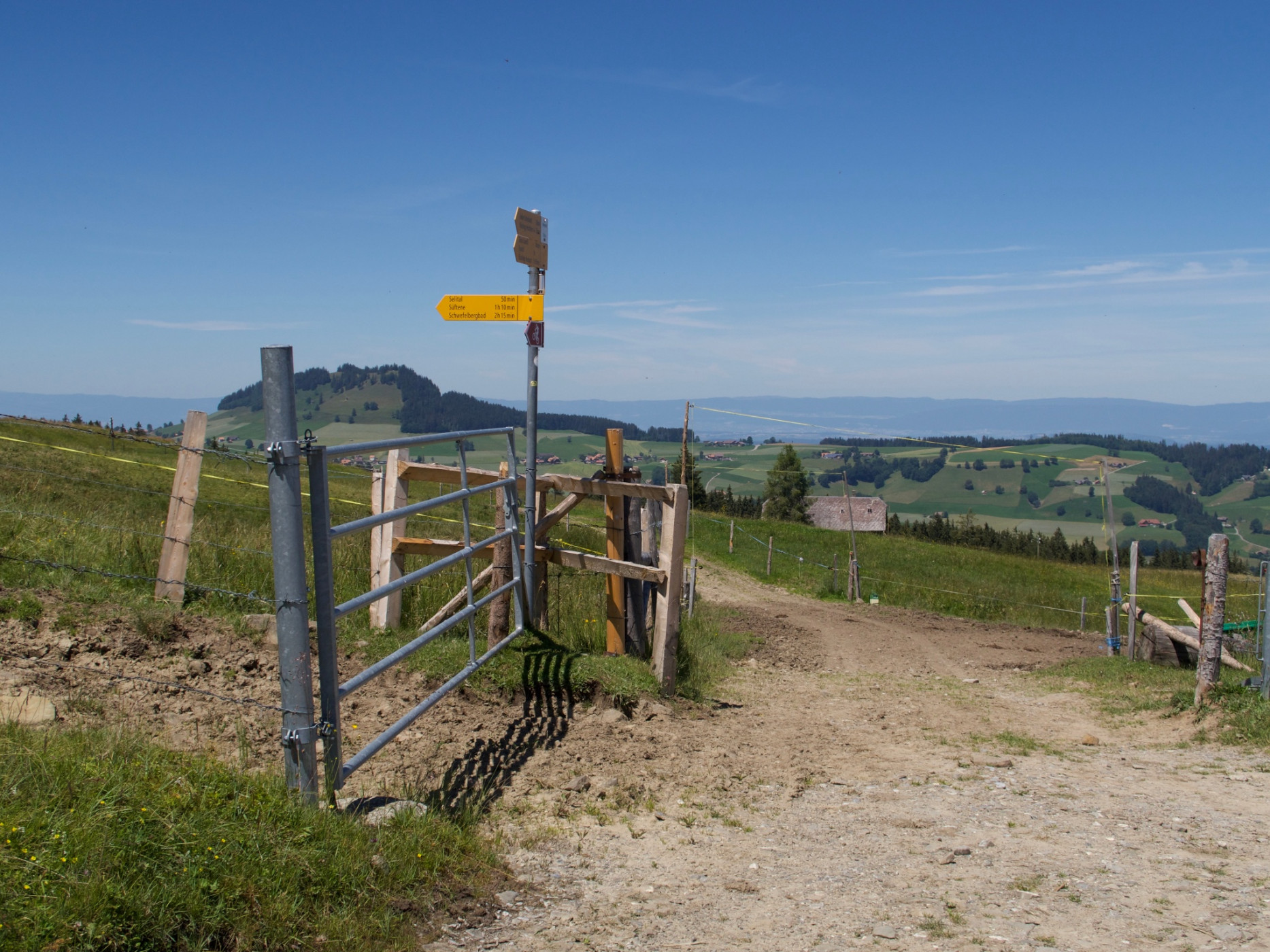
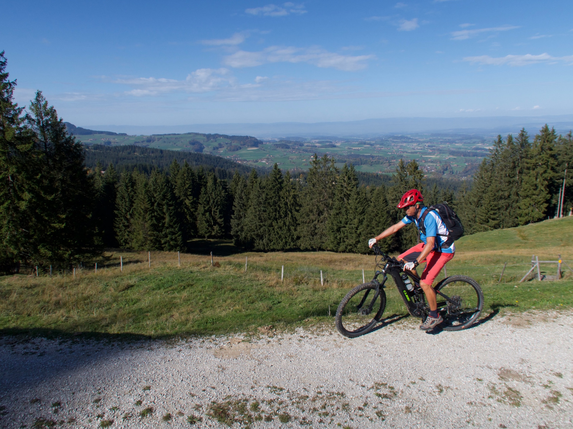
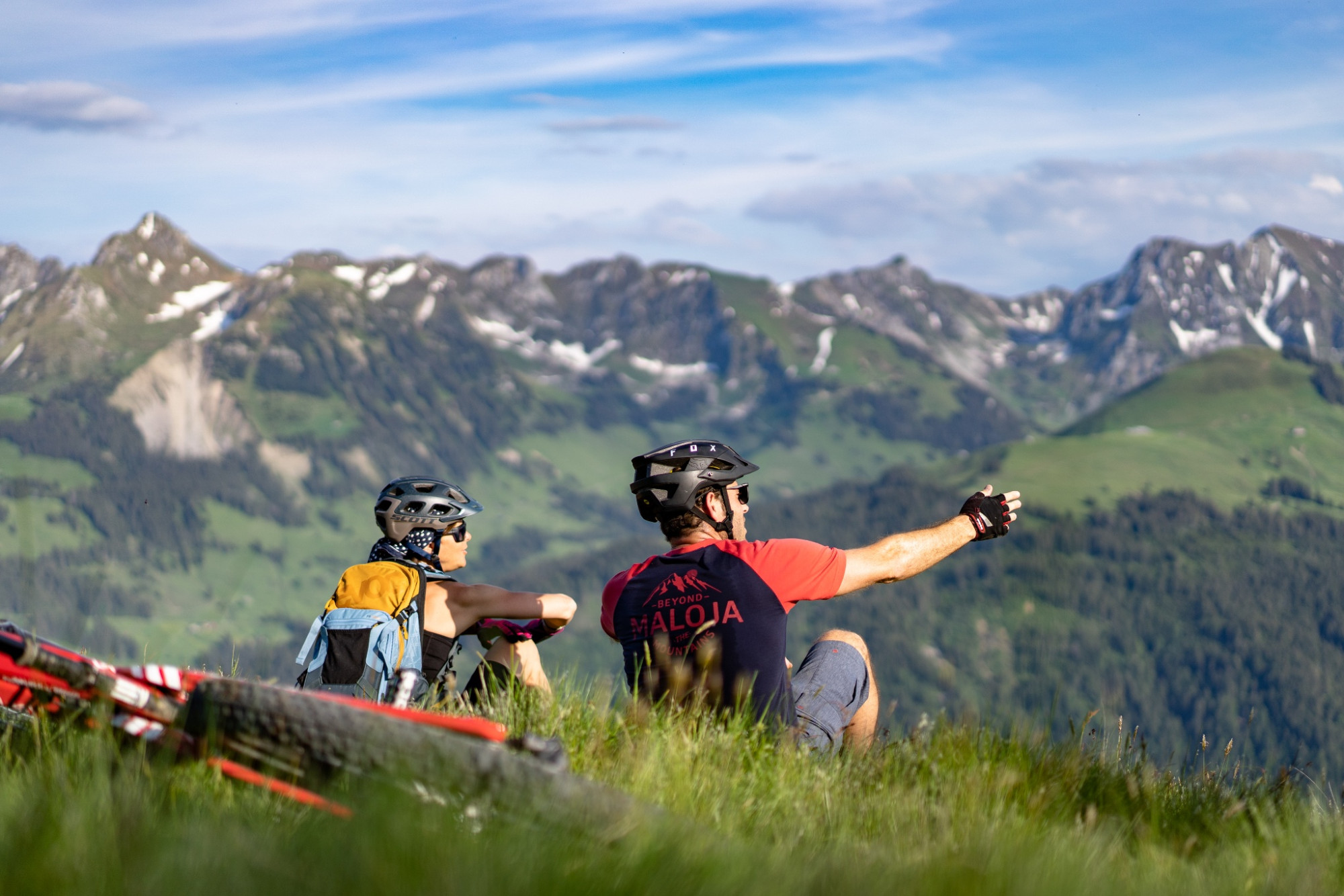
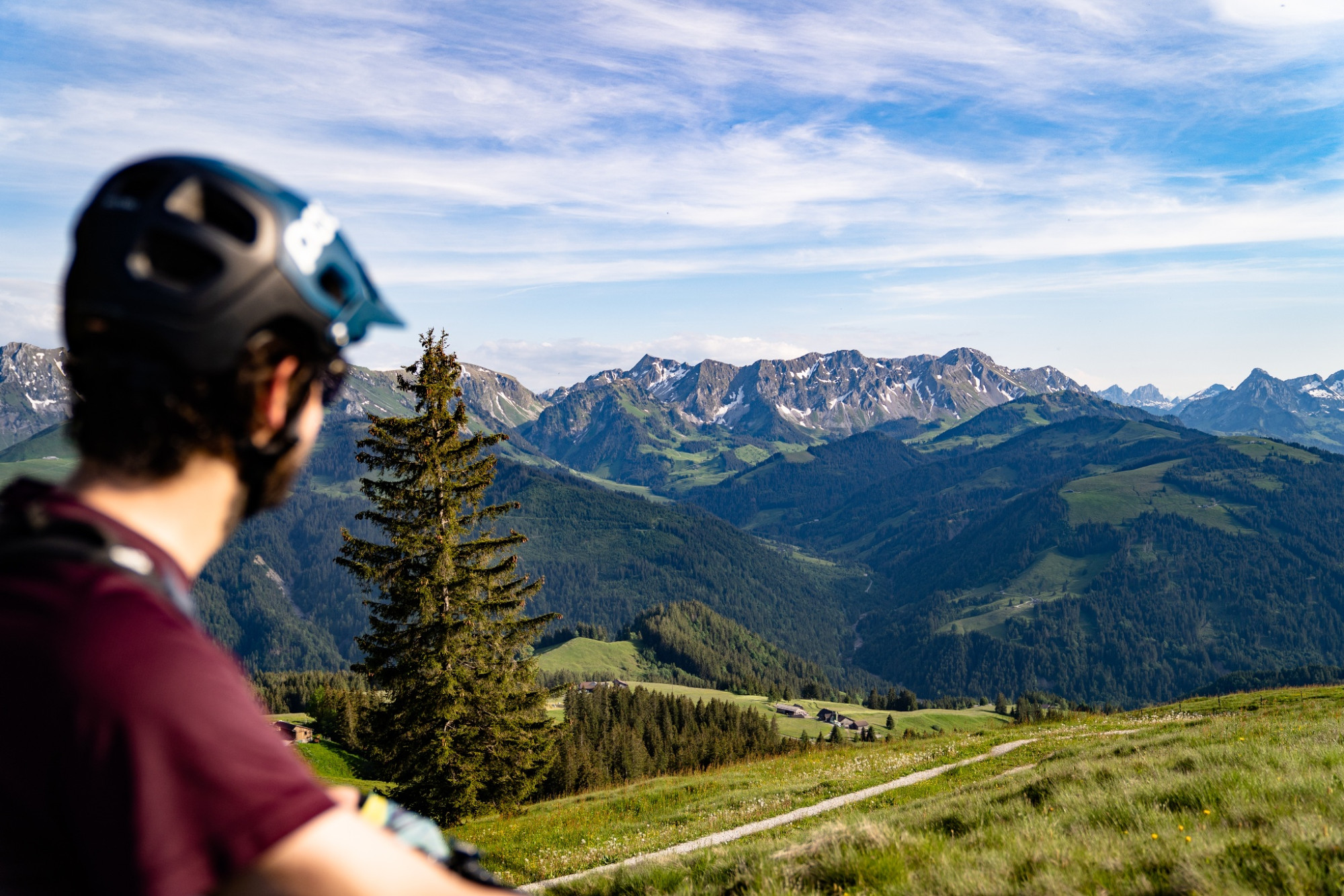
A forest path leads across to the Selital area. After an easy start, the steep ascent to the Horbüel Pass follows. The subsequent varied and demanding section over forest paths and alpine pastures truly deserves the name "Königsroute". At Hällstett, the view opens over the entire Central Plateau to the Jura. Those who do not have the courage to tackle the following descent on the old mule track can also go on foot. This is followed by a very long and spectacular descent over stony alpine and forest paths before a final asphalted section leads back to Riffenmatt.
Route-information
Route-information
- Length
- 30.61 km
- Altitude difference ascent
- 980 m
- Altitude difference descent
- 980 m
- Time required
- 4 hours
- Level technique
- Middle
- Level condition
- Middle
Details
Equipment / Equipment rent
Normal bike equipment
If interested, mountain bikes can be rented from one of our partners.
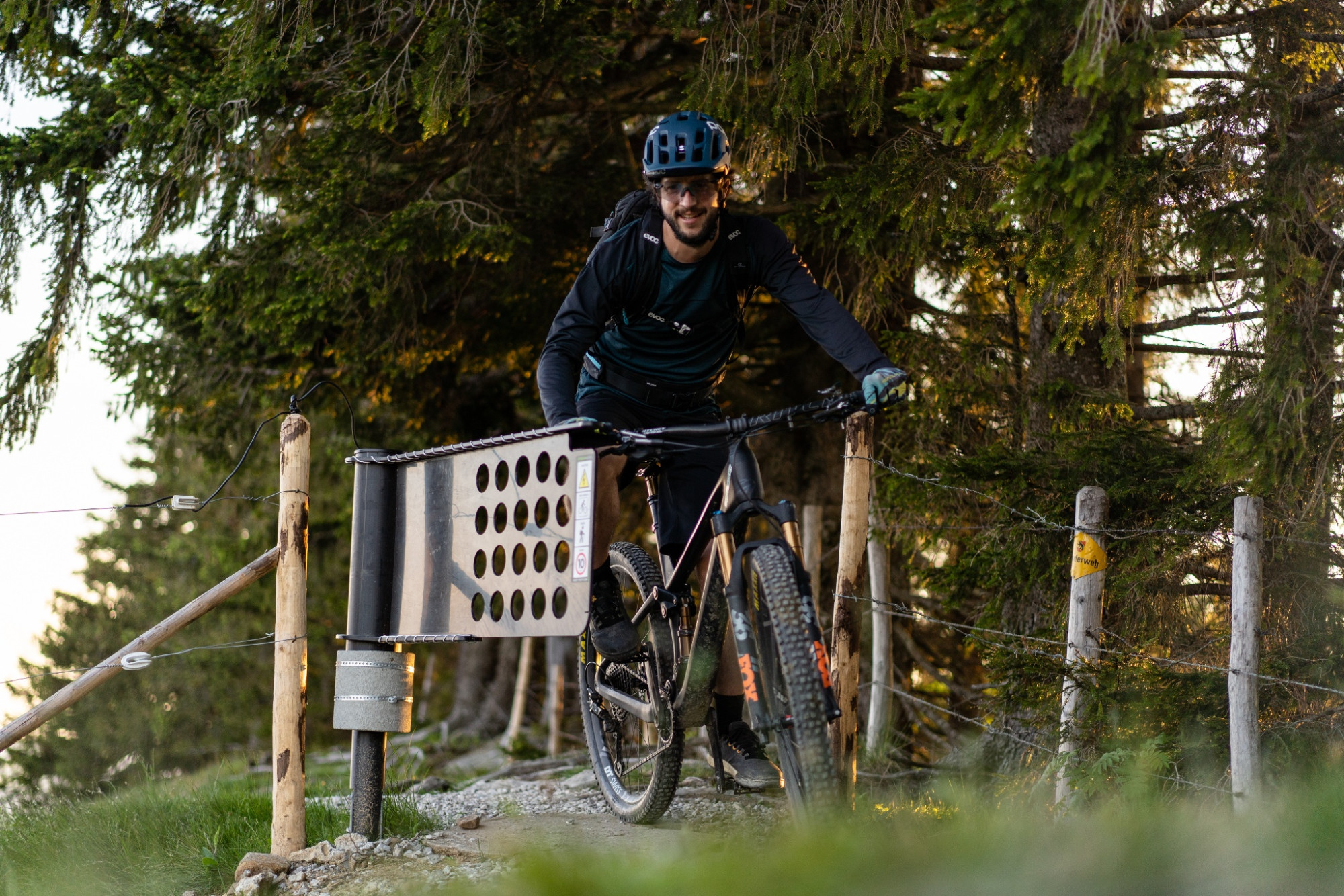
Signalization
The route is only signposted clockwise
Arrival
Arrival
- Starting point
- Riffenmatt, Kreuzung
- Arrival by public transport
- Riffenmatt, Kreuzung Timetable SBB
- Destination
- Riffenmatt, Kreuzung
Suitable for
The offer is suitable for
- Adults
- 50+
Season
Mai, June, July, August, September, OctoberContact
Naturpark GantrischFörderverein Region Gantrisch
Schlossgasse 13
3150 Schwarzenburg
Tel. +41 (0)31 808 00 20
www.gantrisch.ch