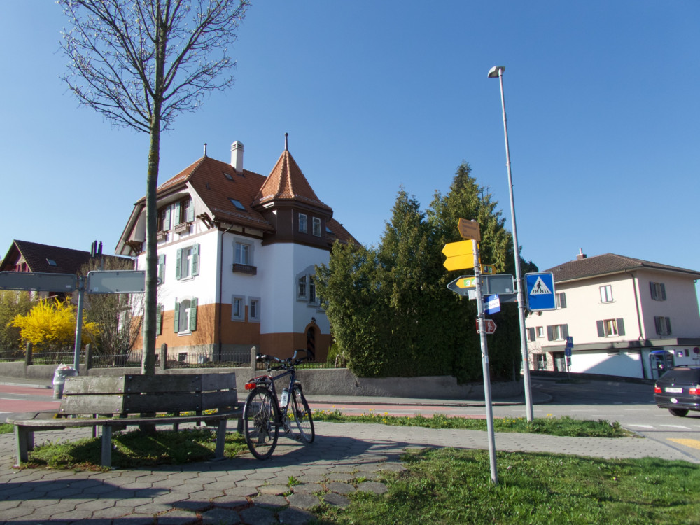
UNESCO Biosphäre Entlebuch
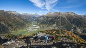
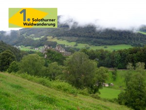
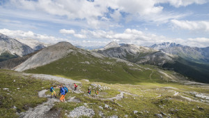
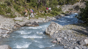
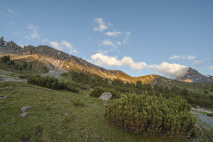
#schrattengenuss - Hike with a View & Culinary Delights
Experience a trip with culinary delights and surprising views.
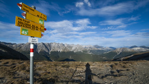
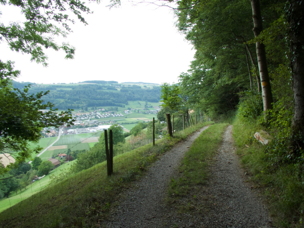
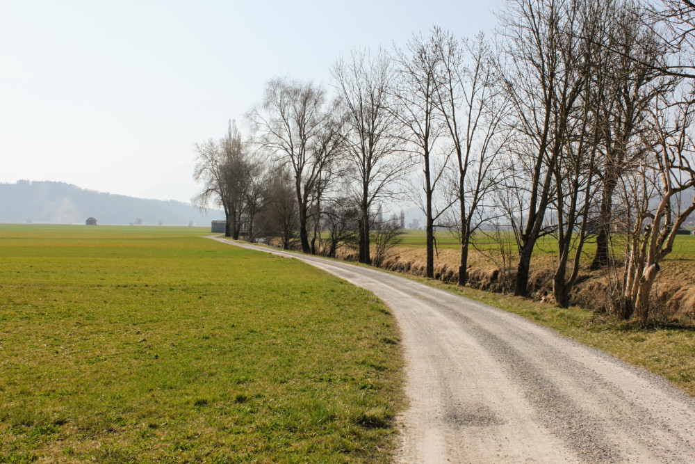
Hiking trail
Time required: 2 hours 50 minutesLength: 4.88km
Swiss Parks Network
Monbijoustrasse 61
CH-3007 Berne
Tel. +41 (0)31 381 10 71
Mob. +41 (0)76 525 49 44
info@parks.swiss

Experience a trip with culinary delights and surprising views.
One of the most frequented walks in the Park, in particular during the rutting season at the end of September.
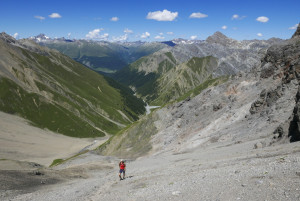
Quite steep in the upper region, this is a route for those who are sure-footed on slippery scree.
This challenging 6.5-hour alpine excursion is only recommended for sure-footed walkers with a head for heights.
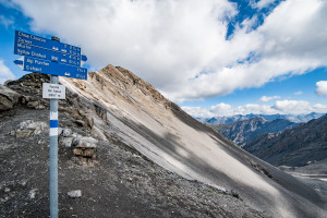
A challenging ascent of the highest peak that lies entirely within the National Park.
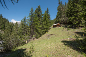
This short hike leads through a sparse spruce-larch-pine forest with some impressive giant trees.
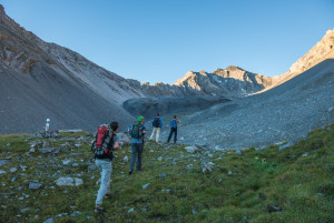
This varied walk requires a certain amount of effort and is not often undertaken. It offers wonderful views into the Cluozza valley, towards the Engadine and the dominating peak of Piz Linard.
Comparable to a Swiss Alpine Club mountain hut, Chamanna Cluozza is the only hut within the Park that offers overnight accommodation; with 61 sleeps.
One of the Park’s classics: this is a walk that gives plenty of opportunity to observe animals, many species of flora, and fascinating geological features such as dinosaur tracks or fossilised corals.
This easy walk takes us from the Pass dal Fuorn road down to the Ova Spin compensation reservoir.
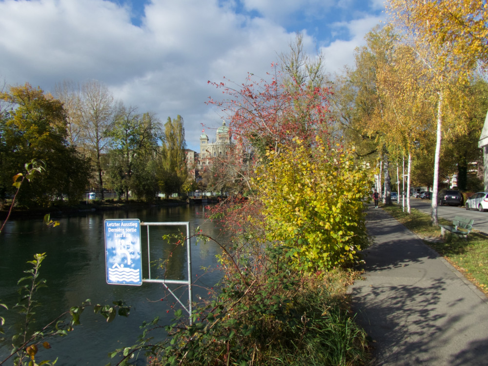
The flat gravel stage leads right through the old town of Bern via Belpmoos into the Gürbetal and then on to Thun. The route runs on secondary roads and partly on gravel and forest roads. Along the way, you have views of the Gantrisch range as well as the Eiger, Mönch, and Jungfrau. In Thun, a refreshing cool down awaits in the lake.
From Schaffhausen, the Route Verte takes you to the heart of the Schaffhausen Regional Nature Park and into the "Blauburgunderland". Take a break here to taste their delicious wines.
Durch Bärlauch und Märchenwald - diese Wanderung bietet die ganze Faszination der Jurawälder in einer Etappe
The gravel loop route leads from Belp over a steep climb on forest paths up to the Chutzen viewpoint. Then it goes via Gerzensee to Wattenwil and returns flat along the Gürbe. The route runs on side roads and largely on forest, gravel, and field paths, and is partly quite bumpy and dusty. The view of the Bernese Alps and Prealps as well as the cooling opportunities along the Gürbe complete the gravel fun.
Our wilderness walk!
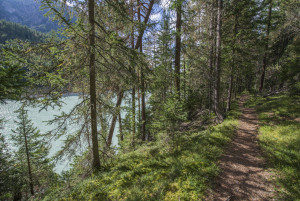
Less frequented than other routes, this relatively flat walk will suit those who are looking for a bit of peace and quiet. Woodland and waterside landscapes accompany us along its length.
The gravel loop route leads from Bundesplatz through the old town of Bern via the Belpmoos to Belp. From there, it continues with a challenging ascent on forest paths up to the Chutzen viewpoint. Then it goes via Gerzensee to Wattenwil and flat along the Gürbe back to Belp and Bern. The route runs on side streets and largely on forest, gravel, and field paths; it is partially quite bumpy and dusty. The view of the Bernese Alps and Prealps as well as the cooling opportunities along the Gürbe and in the Aare complete the gravel fun.
On this walk we go along a stretch of the historical former route to Livigno, where horse-driven carts still travelled in the early days of the Park.
The gravel loop leads from Belp along the Gürbe river to Wattenwil and back along the foot of Belpberg as well as along the Mösche. The route is mostly flat and runs almost exclusively on gravel and dirt paths, partially quite bumpy and dusty, through the wonderful Gürbetal with views of the Stockhorn and Gantrisch mountain ranges. Great gravel fun and shaky hands are guaranteed.
Provided the snow has already melted, it is possible to do this easy circular walk around the hillside of Las Crastatschas as early as mid-May. The first timid signs of spring can be seen then, and ungulates have not yet moved to the higher regions.
The gravel loop leads from the Swiss Bike Park in Oberried on the eastern side of the Sense via Niederscherli, Aekenmatt, Steinenbrünnen to Schwarzenburg and back on the western side of the Sense. The route has several steep ramps and climbs, which are compensated by a wonderful view of the Bernese Alps, the Gantrisch area, and the Jura.
This 2-hour walk follows the former Pass dal Fuorn road, offering pleasant views of the Pass dal Fuorn landscape with its typical stretches of mountain pine forest.
This trail leads from the customs house at Punt la Drossa/P4 to Il Fuorn/P6; we walk alongside the delightful Fuorn stream that manages most of the time to drown the sound of traffic on the Pass dal Fuorn road.
Up into the hilly landscape, over meadows, pastures, and through forests. On this varied circular route, we also cross the most diverse villages such as Rüschegg, Riggisberg, and Rüeggisberg.
The circular route leads from Swiss Bike Park in Oberried via Niederscherli, crossing the Schwarzwasser bridge, up to Schwarzenburg.
Then it goes eastwards again over the Schwarzwasser and through the hilly area of Fultigen and then northwards over the scenic Längenberg back to the starting point.
Many people consider this to be the most enjoyable walk in the National Park.
In the first section, from Il Fuorn to former P7, we see the impressive contrast between a humid alpine mixed forest and a dry mountain pine forest.
The gravel loop route leads from Plaffeien over the Sense River into the canton of Bern to Schwarzenburg and back via Riffenmatt, the Ägertewald through Zollhaus again over the Sense to Freiburg. The route mostly runs over hilly side roads, forest paths, and past farms and small villages. Throughout the entire route, you have repeated clear views of the Guggershörnli.
This well-frequented route has become increasingly popular since bearded vultures were released here between 1991 and 2007.
The walk over Fuorcla Val dal Botsch leads from the Pass dal Fuorn region to Val Mingèr, via a 2676 m high pass. It is normally passable from end of June to end of September.
The last bear in Switzerland was shot in Val Mingèr in 1904. Unfortunately the Swiss National Park was only founded 10 years later and could not, therefore, offer any refuge for this creature.