

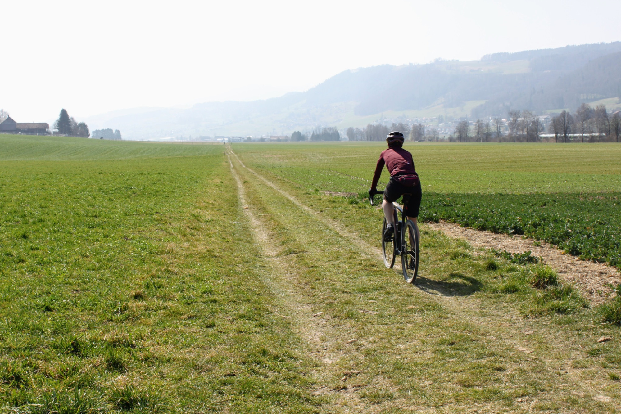
1 Gürbetal Gravel Route: Bern - Thun
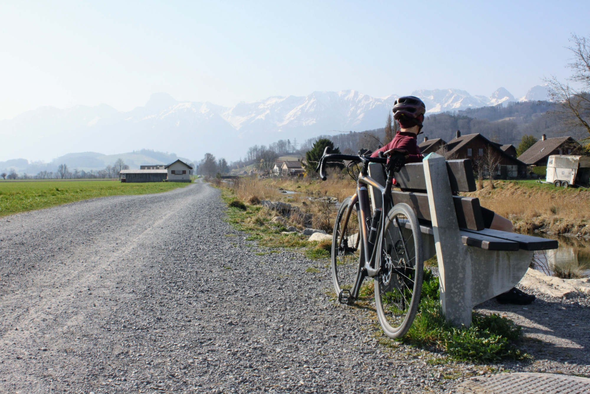
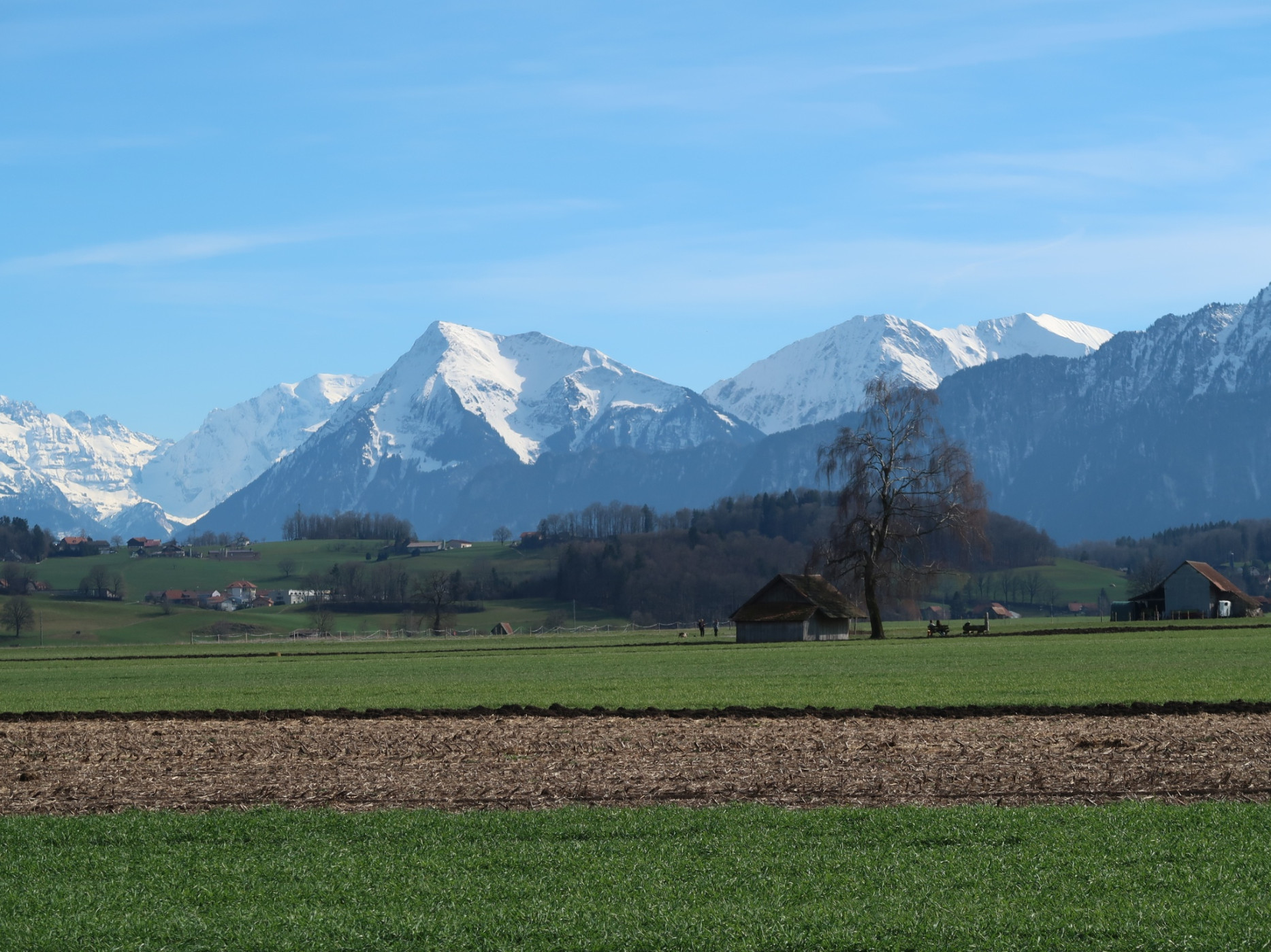
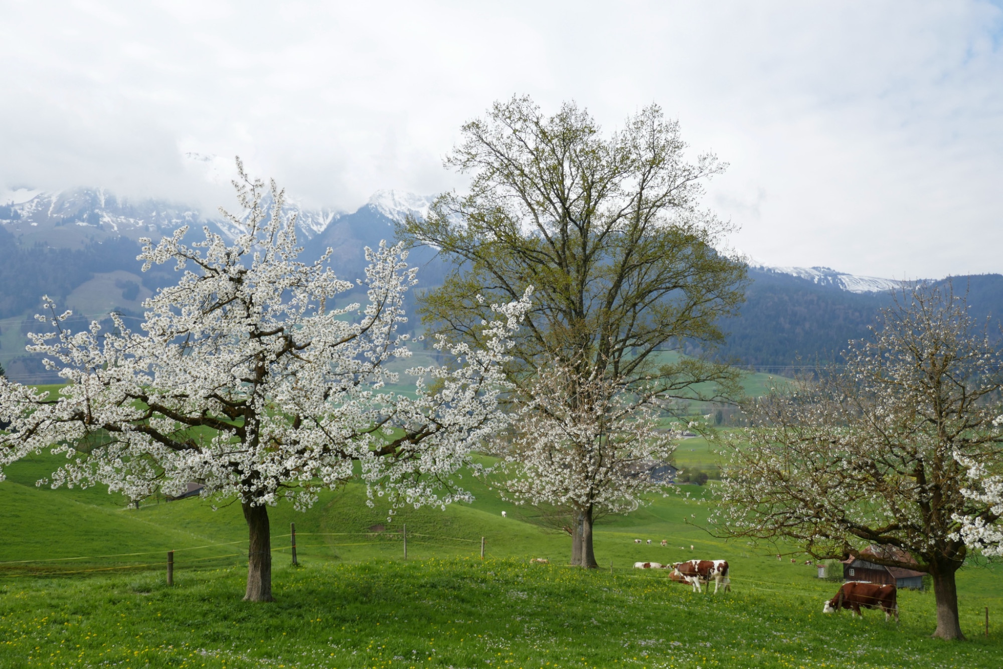
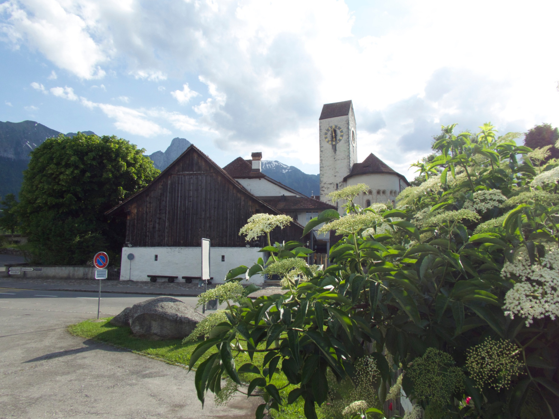
Naturpark Gantrisch - The flat gravel stage leads right through the old town of Bern via Belpmoos into the Gürbetal and then on to Thun. The route runs on secondary roads and partly on gravel and forest roads. Along the way, you have views of the Gantrisch range as well as the Eiger, Mönch, and Jungfrau. In Thun, a refreshing cool down awaits in the lake.
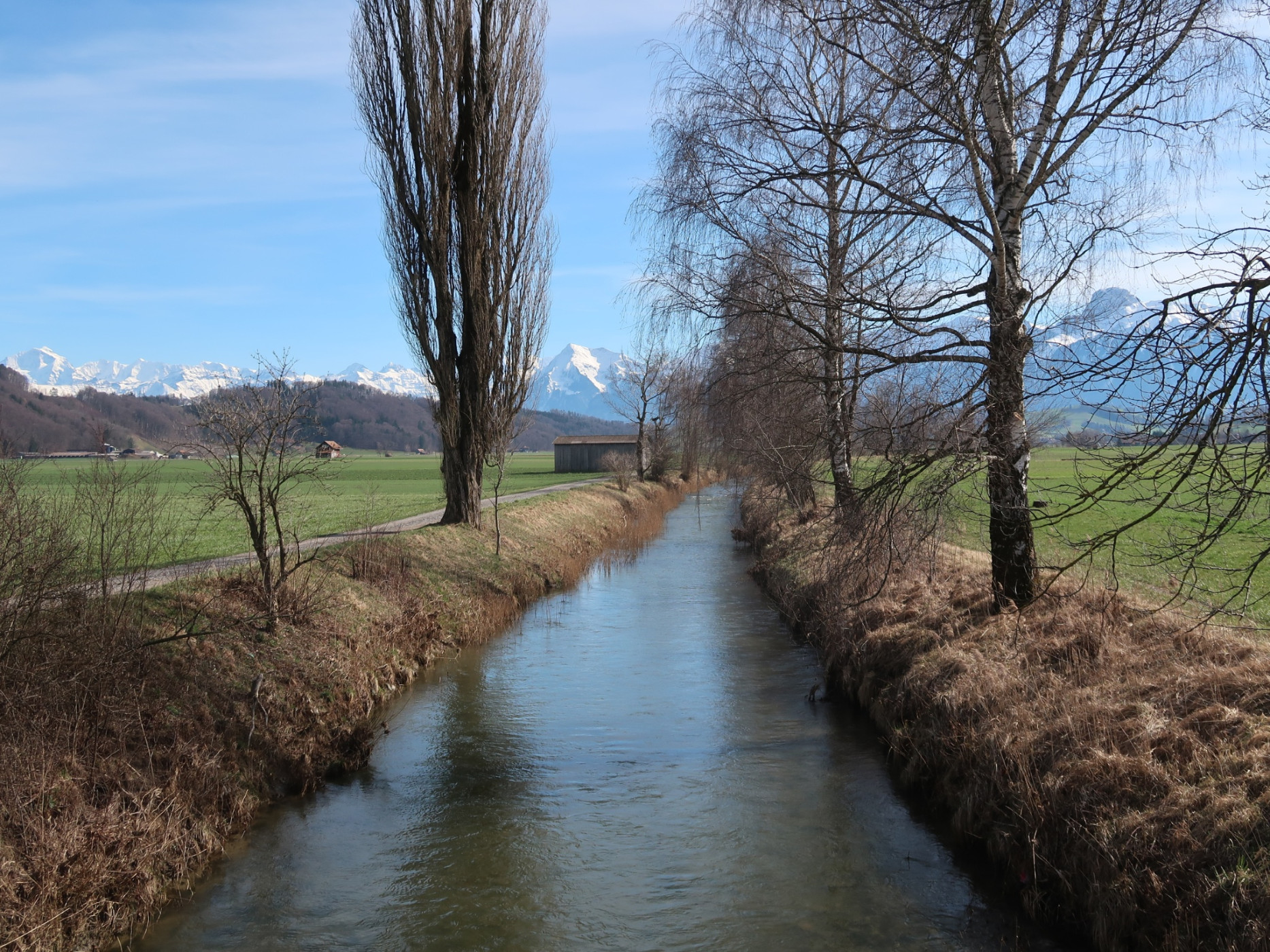
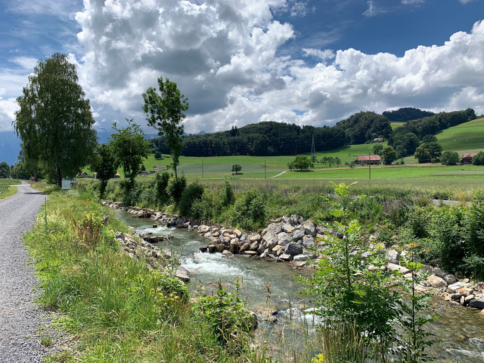
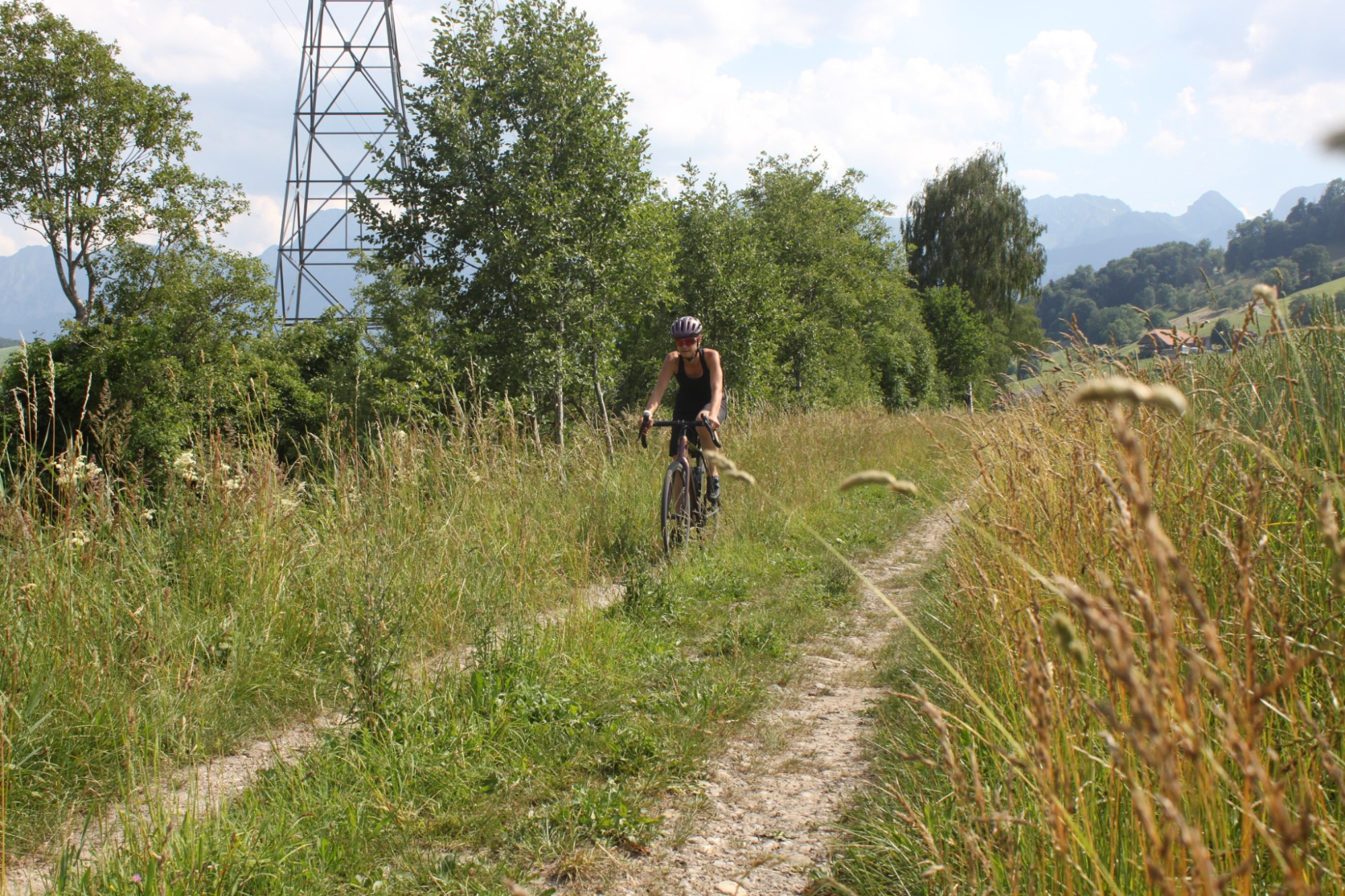
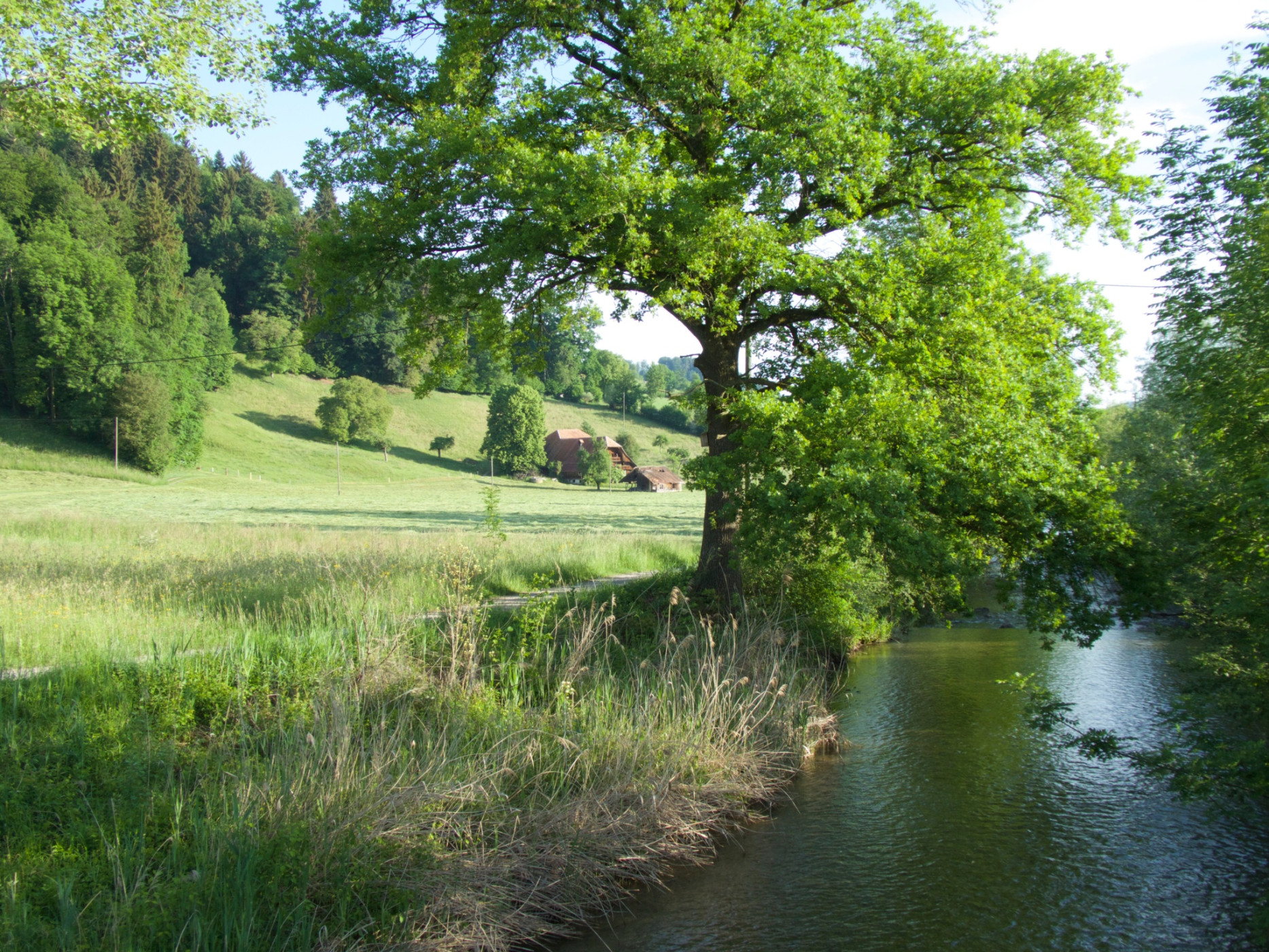
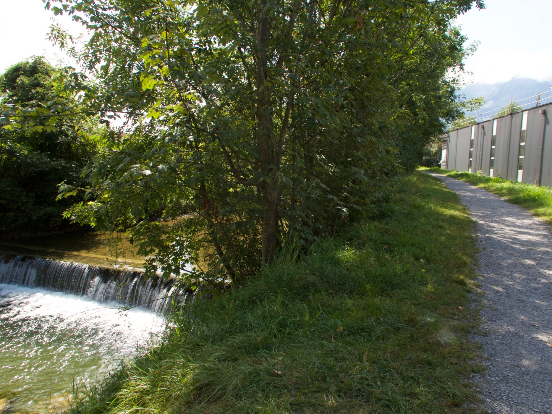
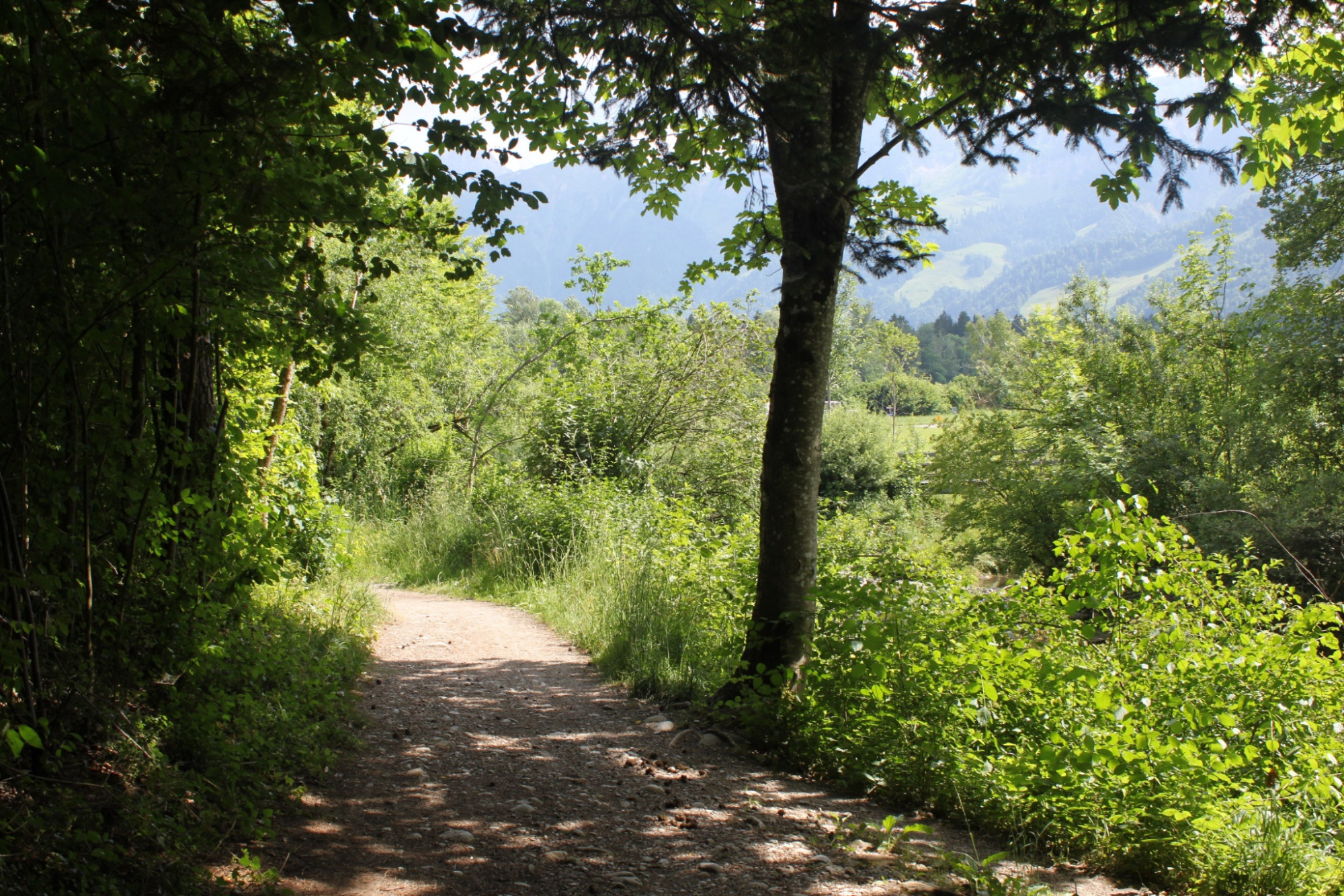
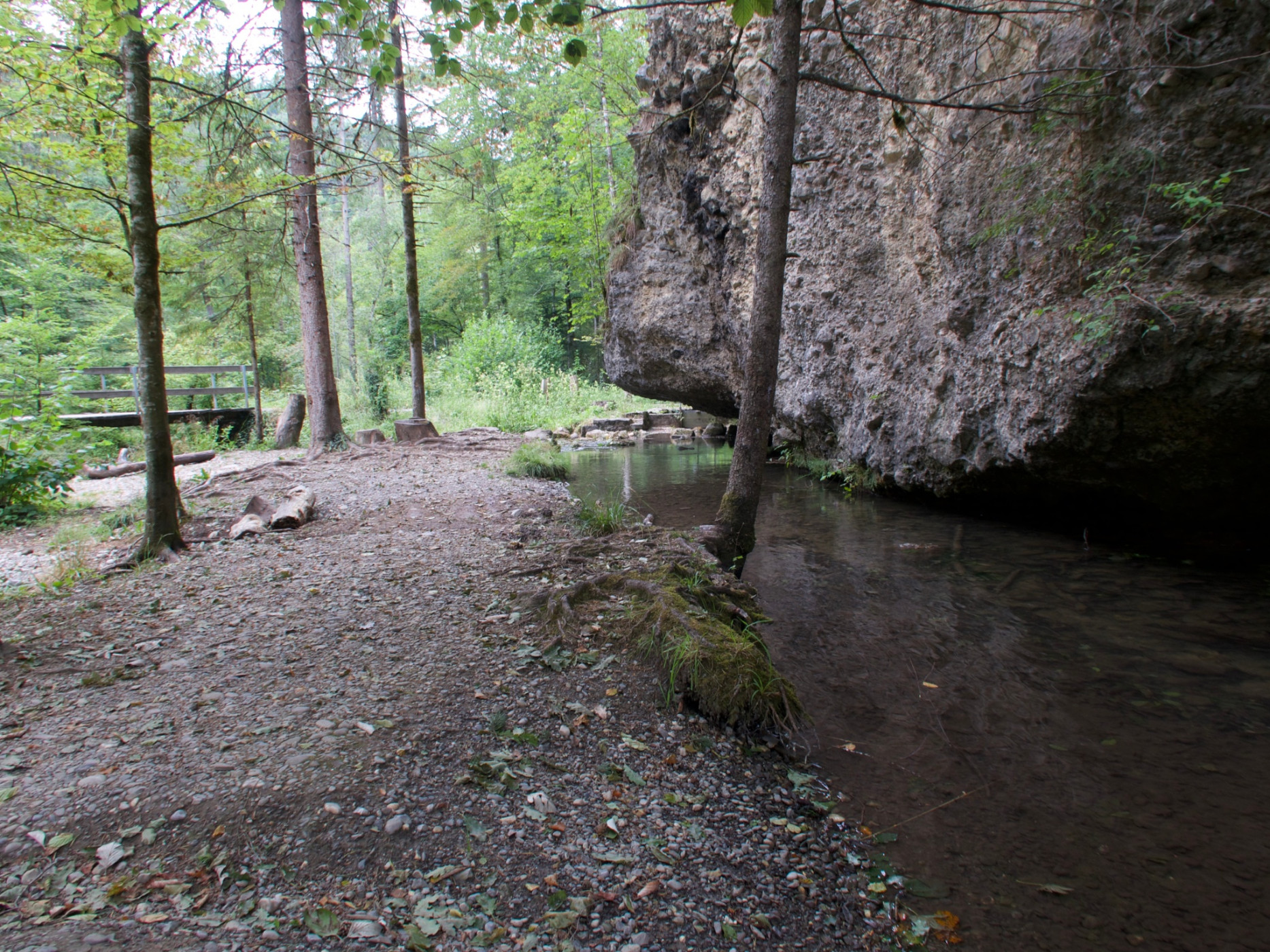
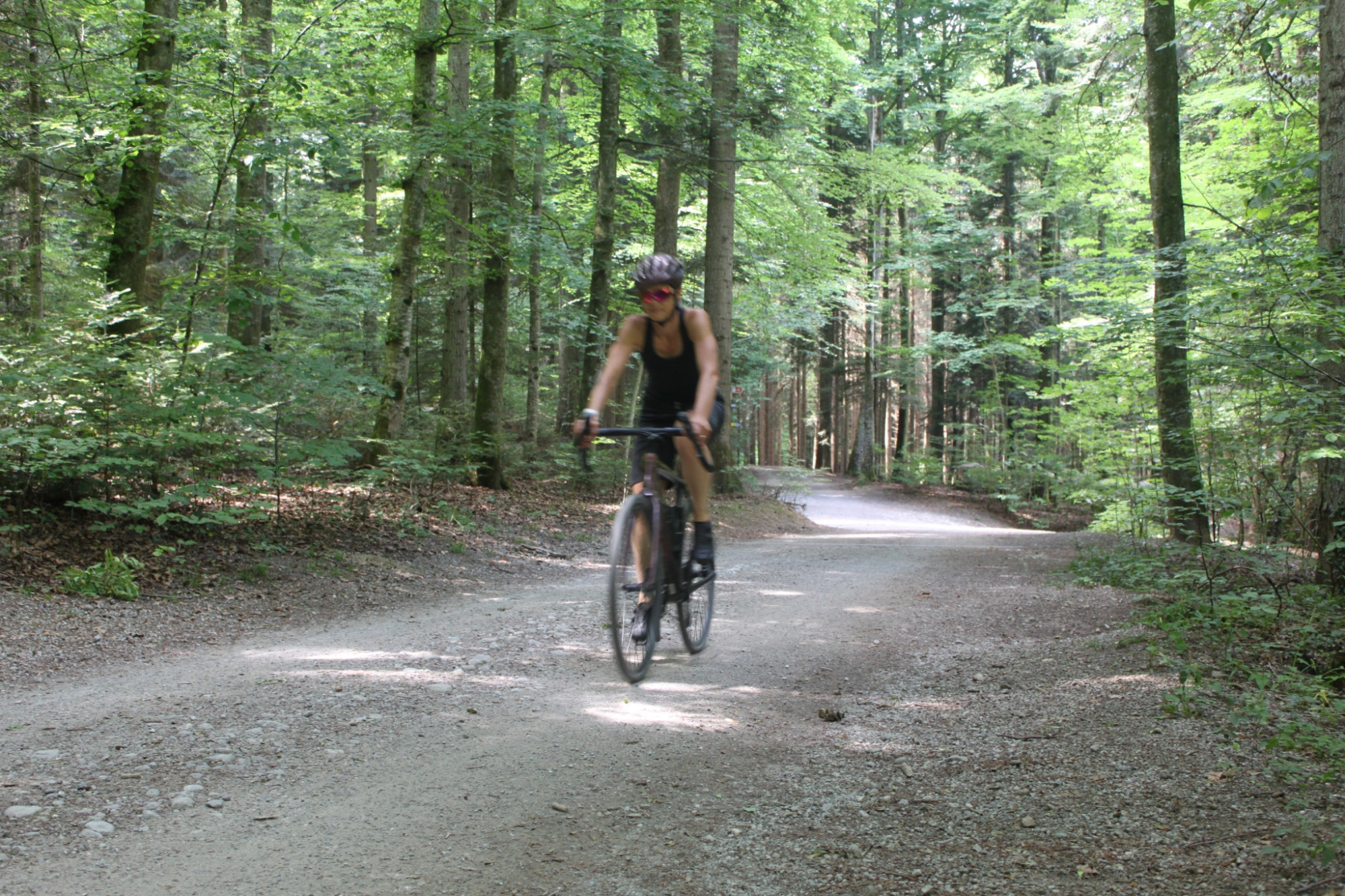
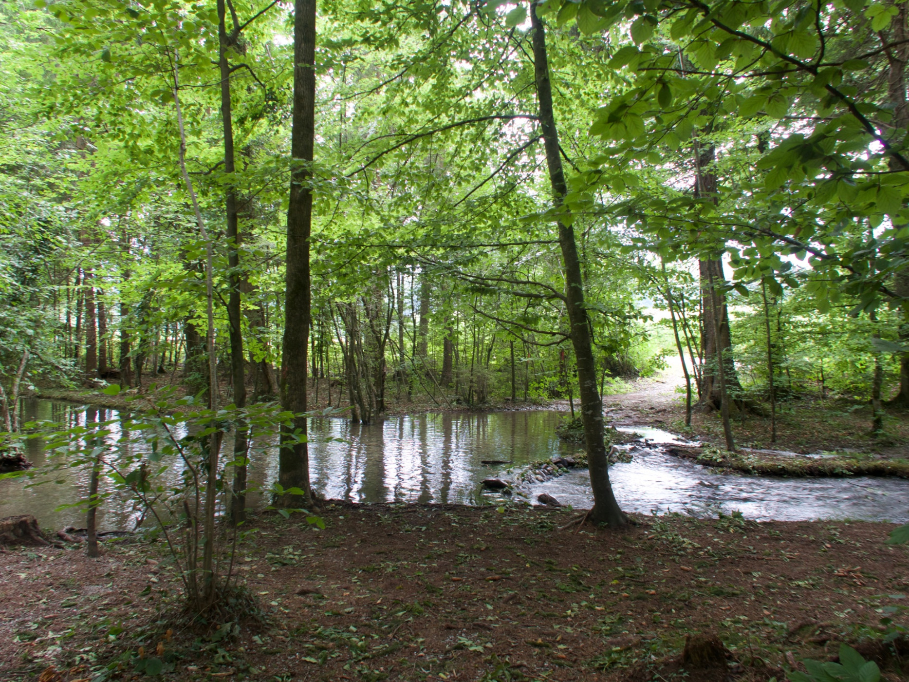
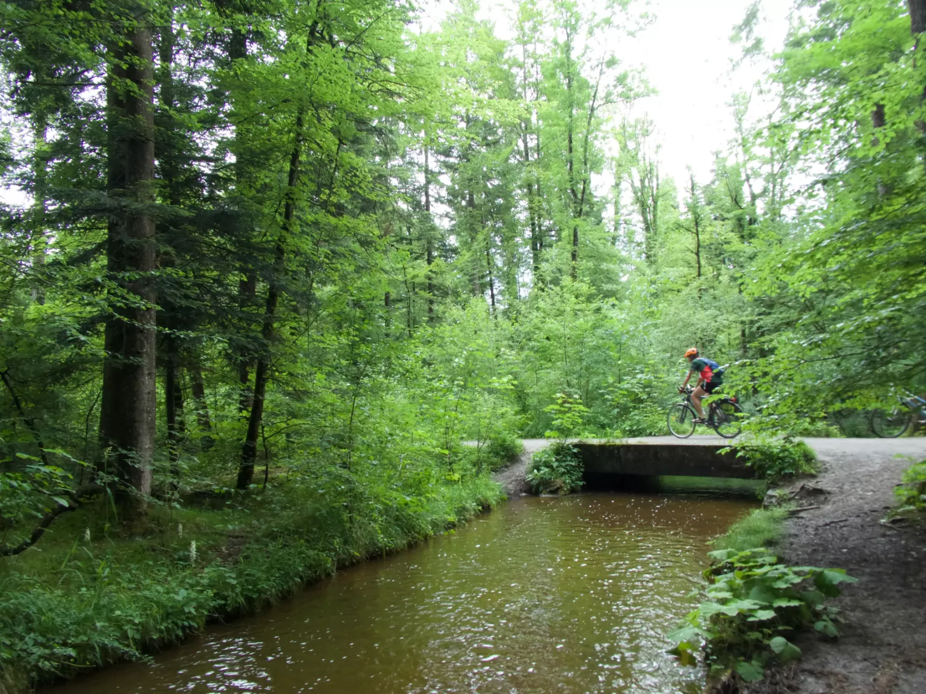
From Bern, the route follows SwitzerlandMobil Veloland Route 74 to Belp. After leaving the village centre of Belp behind, the real gravel fun begins. Over rough field paths and gravel roads along the Gürbe to Mühlethurnen to the Gürbebadi, you can really push the pedals. But don't forget to enjoy the view of the Stockhorn and Gantrisch ranges. If you need a cool down, this is the right place, or about 5 minutes later at the Lohnstorf bridge to jump into the cool water. The following section leads briefly over hiking paths, not directly along the Gürbe. After crossing the main road, it goes bumpy again along the right bank of the Gürbe and then along the official Bike Route 74 to Wattenwil.
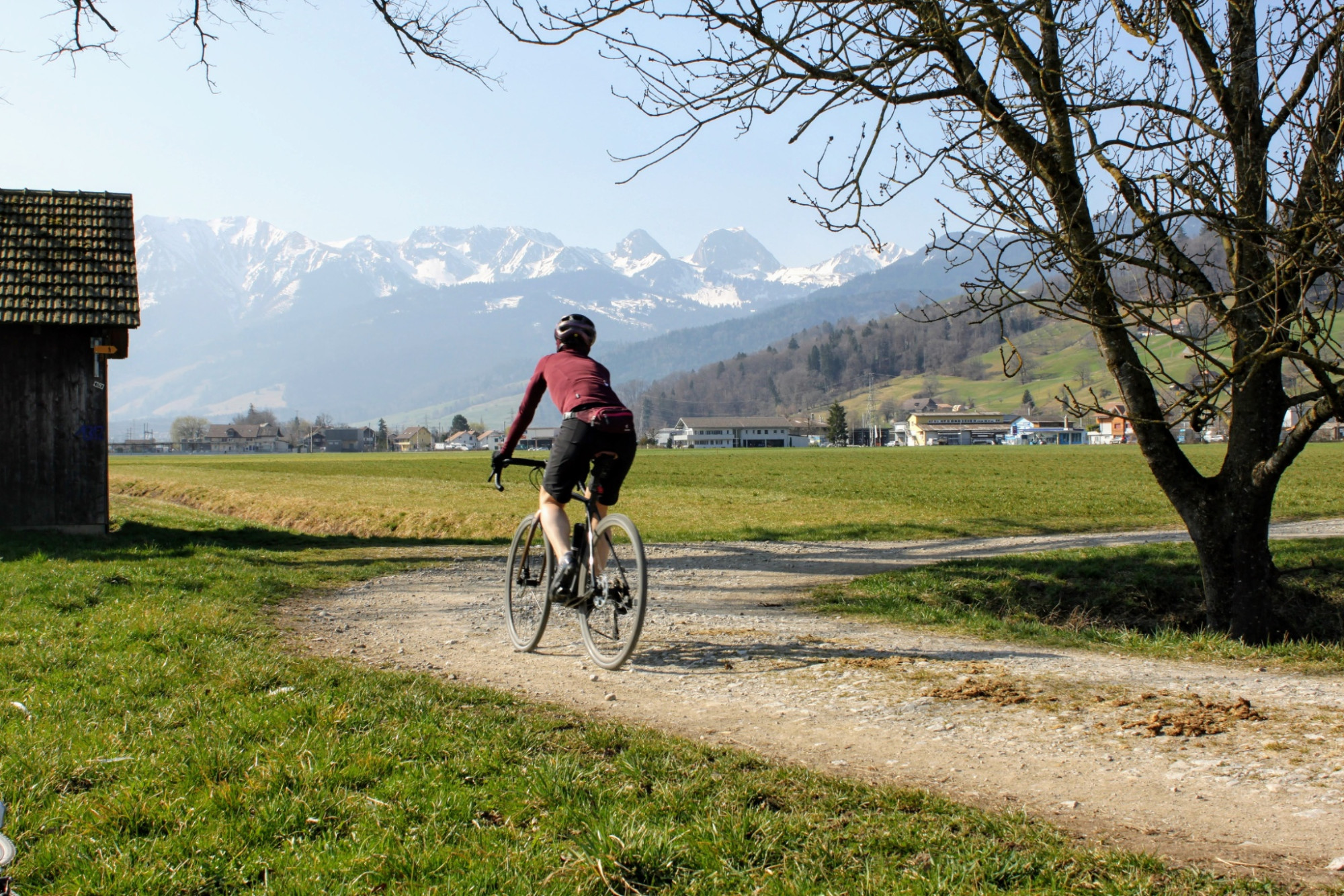
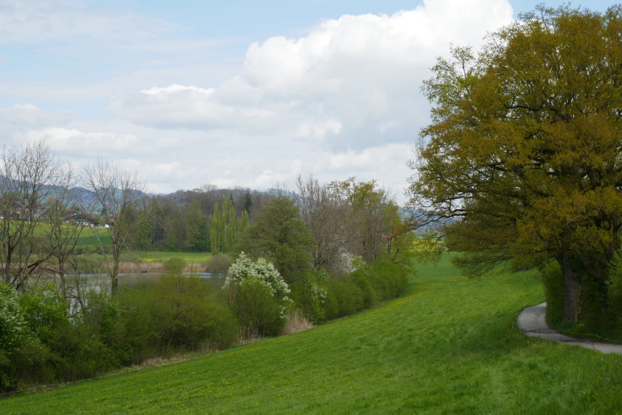
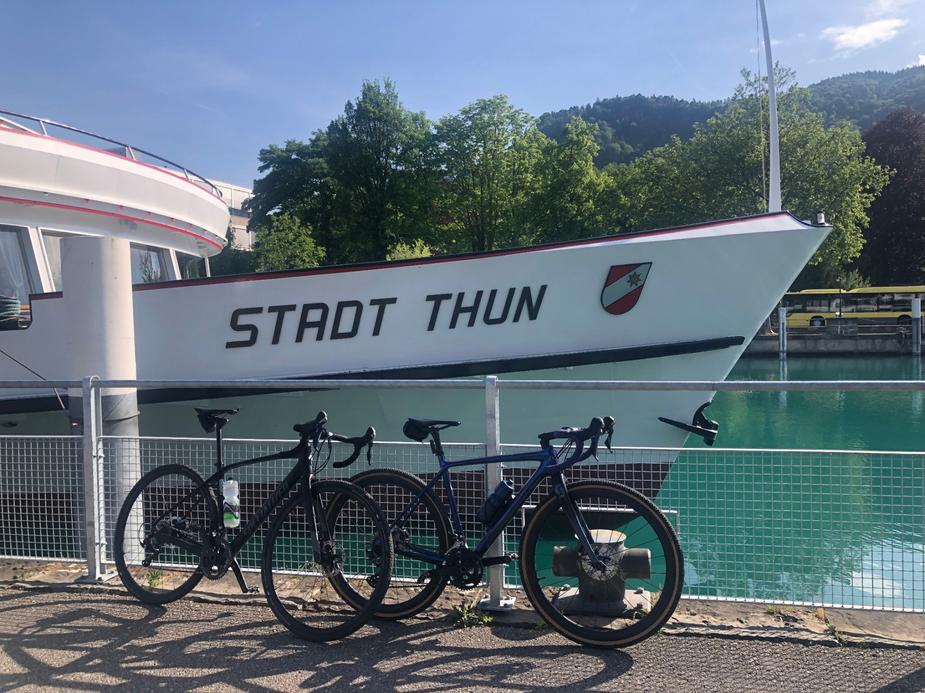
From Wattenwil, we ride a narrow trail along the Gürbe to Längmoos and from there follow the SwitzerlandMobil Alpine Panorama Route 4 to Dittligsee. From Dittligsee, we follow Veloland Route 74 with views of Eiger, Mönch and Jungfrau to Uebeschisee and then along Amsoldingensee to Amsoldingen. After a fast descent on the main road, the route takes us through the refreshing Glütschbachtal and then over Gwatt into Thun city centre. The flat gravel stage from Bern to Thun ends with a refreshing beer in one of the trendy bars at Mühliplatz.
The route passes over hiking paths in several places. Showing consideration for hikers is a matter of course!
Route-information
Route-information
- Length
- 50.02 km
- Altitude difference ascent
- 312 m
- Altitude difference descent
- 298 m
- Time required
- 3 hours 20 minutes
- Level technique
- Easy
- Level condition
- Middle
Details
Bike Service Stations
A good trail infrastructure includes not only mountain bike routes but also e-bike charging stations, bike wash stations, bike shops, bike transports, and bike tool boards. Here you will find an overview of the Bike Service Stations in the Bike Region Voralpen.
Equipment / Equipment rent
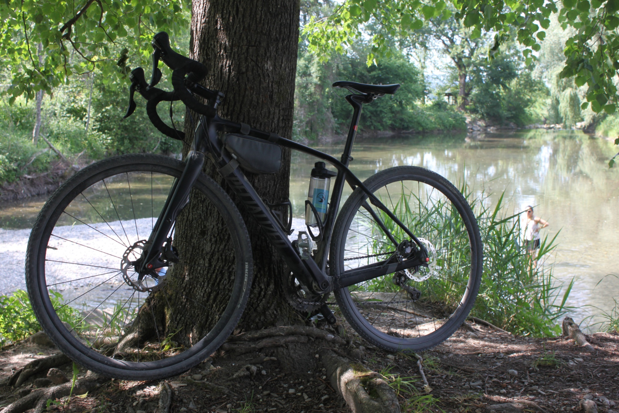
Gravel bike, weather-appropriate clothing and equipment, food, repair kit, and first aid kit.
Bike Shops nearby:
Arrival
Arrival
- Starting point
- Bahnhof Bern
- Arrival by public transport
- Bern, Hauptbahnhof Timetable SBB
- Destination
- Bahnhof Thun
Suitable for
The offer is suitable for
- Adults
- 50+


Season
April, Mai, June, July, August, September, October, NovemberContact
Naturpark GantrischFörderverein Region Gantrisch
Schlossgasse 13
3150 Schwarzenburg
T +41 (0)31 808 00 20
www.gantrisch.ch