Naturpark Diemtigtal
Alp hike Tschuggen
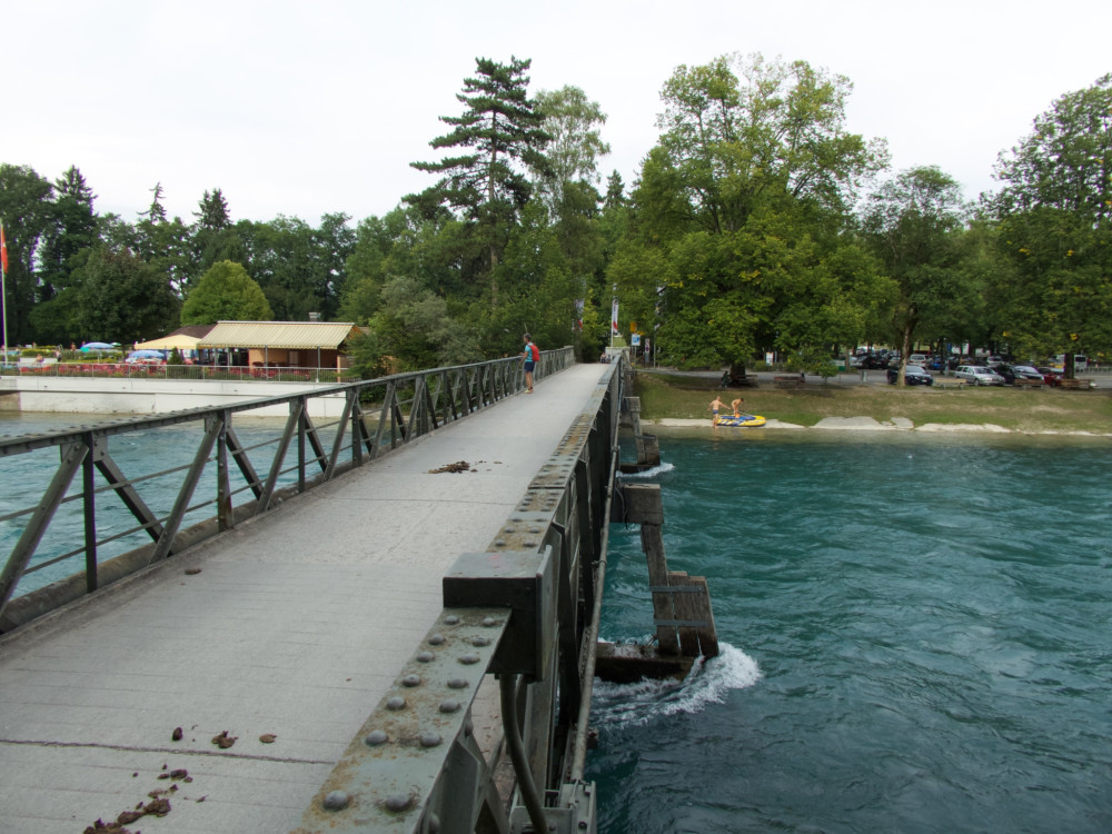
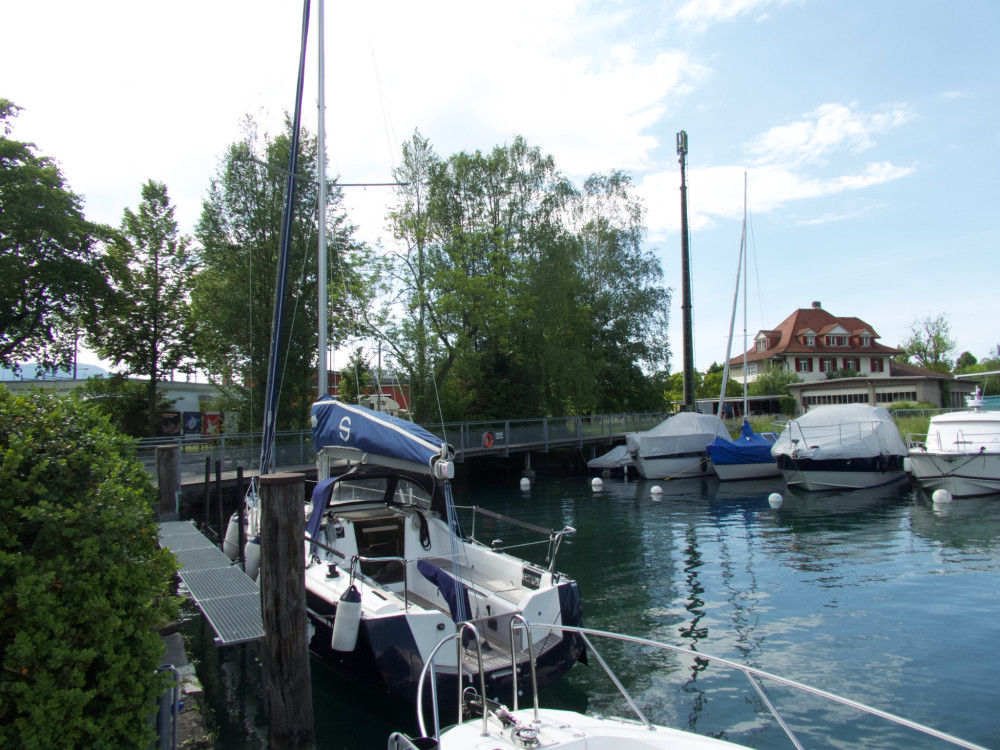
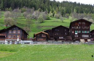
The hike leads you from the valley station of the Wiriehorn cable cars up to lush alpine pastures and the Wakker Prize-awarded village of Diemtigen.
Hiking trail
Time required: 2 hours 35 minutesLength: 7.80km
Swiss Parks Network
Monbijoustrasse 61
CH-3007 Berne
Tel. +41 (0)31 381 10 71
Mob. +41 (0)76 525 49 44
info@parks.swiss

The hike leads you from the valley station of the Wiriehorn cable cars up to lush alpine pastures and the Wakker Prize-awarded village of Diemtigen.
The mountain trail from Ausserferrera to Sufers leads across the Nursera and Schwarzwald Alps with magnificent views of the Hinterrhein valleys of Val Ferrera and Rheinwald, which are characterised by alpine farming and the former mining industry.
Über 100 Blumen, Heilpflanzen und Alpenkräuter sind auf dem Alpenflora-Erlebnispfad im Skigebiet von Savognin mit Namen und Bild gekennzeichnet. Mit dem Skilift und der Gondelbahn kommen Sie zum Ausgangspunkt der Wanderung.
From the Aaretal over the Belpberg, down into the Gürbetal and then back up onto the Längenberg. Along this route, there are repeatedly magnificent views as well as small villages in the Bernese Gürbetal.
Hill landscape, Sensegraben, a cantonal border, and the well-deserved refreshment in the mountain lake - all this is offered by stage 19 of the Alpenpanoramaweg.
Zippy forest trail out of the valley, testing ascent at Sur, quiet section along the Roman Septimer route on a terrace high above the valley floor, excellent single trail with spectacular views.
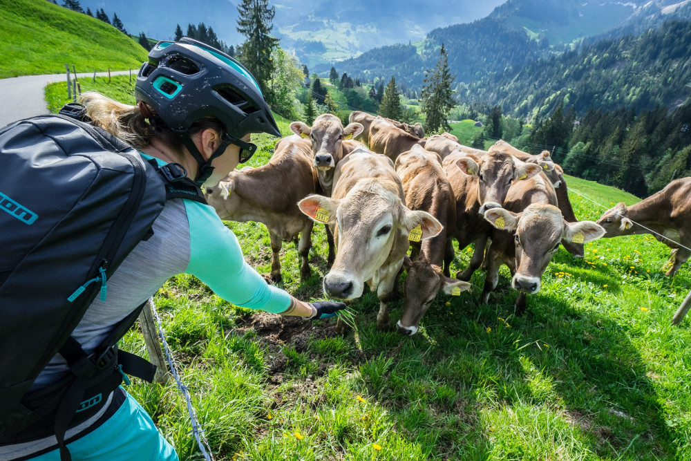
From the lovely Schwarzsee to the Breccaschlund and into the sharp limestone landscape of the Greyerzer Alps, over the flat Euschel Pass, carved by glaciers, to Jaun, the only German-speaking village in the district of Gruyères.
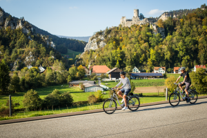
From the beautiful Lake Thun to Fribourg leads the stage of the Alpine panorama route. Views of the Bernese and Fribourg Alps can be enjoyed, as well as the repeated crossing of the Sense gorge offering a unique experience.
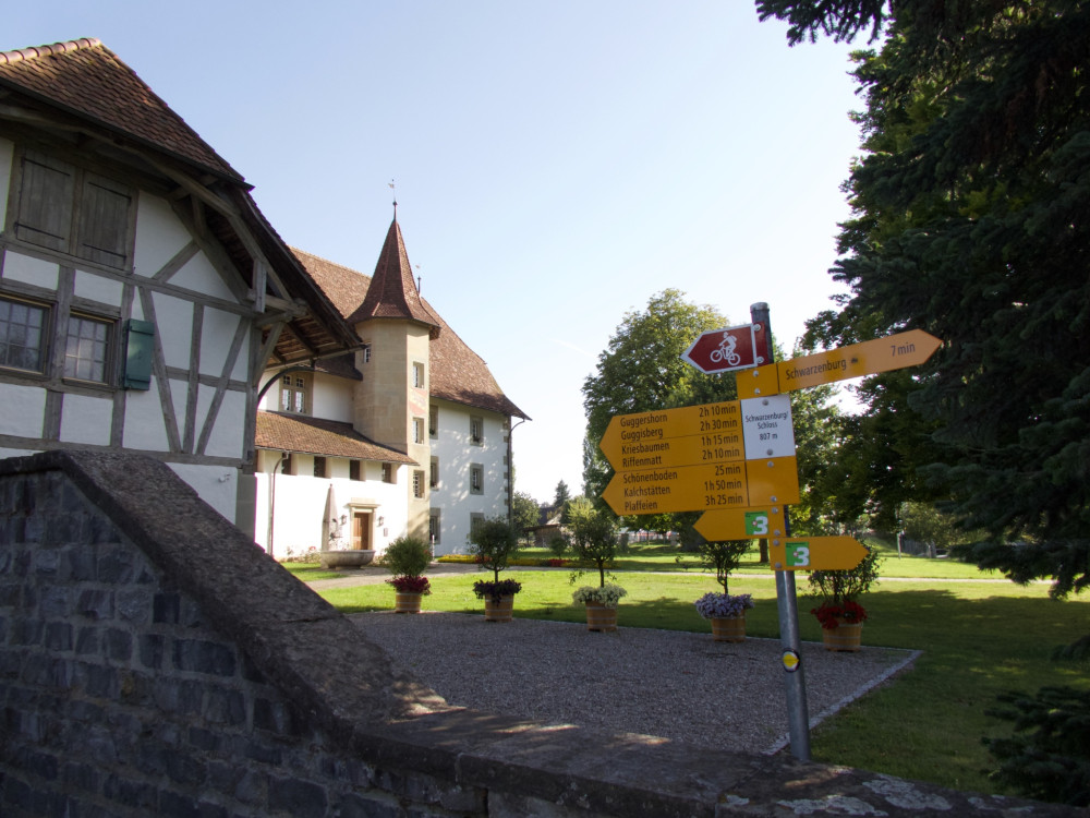
Enjoy one last view of the Bernese Alps before the descent into the Schwarzwasser ravine. After crossing the world's oldest concrete arch bridge, Schwarzenburg is reached. Over its plateau, forests, and meadows, the path leads to the scenic Guggershörnli.
Die alte Averserstrasse von Juf zur Rofflaschlucht steht als historischer Verkehrsweg unter dem Schutz der Eidgenossenschaft und des Kantons Graubünden.
Discover the historical trails over the Randen, leading you through pleasant forest valleys up to the heights of the Randen with the vast stretch of the Zelgli meadow.
Einmal im Jahr findet das Radrennen Andeer - Juf statt. Auch sonst ist diese Radstrecke ins höchstegelegene ganzjährig bewohnte Bergdorf eine Herausforderung in einer eindrücklicher Kulisse. 1150 Höhenmeter gelten zu bewältigen.
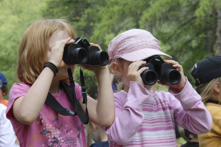
Become a wildlife detective for the day and spot the tracks of the animals.
This charming, easy route takes you through the rolling hills of the Entlebuch region.
Eine vielfältige Velotour, auf welcher sich die unterschiedlichen Gesichter des Juras entdecken lassen. Zwei von insgesamt vier Etappen führen durch den Naturpark Thal.
Eine vielfältige Velotour, auf welcher sich die unterschiedlichen Gesichter des Juras entdecken lassen. Zwei von insgesamt vier Etappen führen durch den Naturpark Thal.
A huge palette of natural diversity awaits you. Our tip: Leave room for your own impressions and discoveries and sharpen your eye for the inconspicuous.
The well-known Guggershörnli is a striking Nagelfluh rock between Schwarzenburg and Guggisberg with a magnificent panorama. This medium-difficulty route circles it.
Follow the historic route of the transport of Gruyère cheese wheels along a path beside the lake, passing over various bridges to arrive in Lessoc, a village whose architecture is marked by the cheese trade.
Round tour around the striking Schrattenfluh with steep climbs and interesting single trails!
Even without much hiking experience this hike can be done easily. Although this is one of the easier hikes, the view is priceless.
This hike does full justice to its name. The trail leads from Les Brenets near La Chaux-de-Fonds to St. Ursanne, almost always alongside the River Doubs and crossing the Doubs Regional National Park from west to east.
From Les Brenets, follow the Doubs to the impressive Saut du Doubs, a 27m high waterfall. The river widens into a mineral world to the Châtelot dam before sinking into deep gorges.
This stage goes through a thick and wild forest, house of many plant and animal species . It is hard to imagine just how much industry there was here 200 years ago. Today, only a few signs of this intense industrial activity remain.
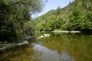
Enjoy the water along the quiet broad pathways, an ideal spot to observe the river's activity. Amid the silent fishermen, you can admire the trouts, pikes and aprons, also known as Roi du Doubs.
Leave the wild nature behind you and slowly come back to the real world before reaching the medieval town of St-Ursanne. There, the Doubs makes a sharp turn; perhaps this is where it gets ist name from - dubitus meaning the hesitant in Latin.
The trail starting from the Joux valley at the foot of the Jura, leads through the regional Jura Vaudois Nature Park to the highest summit of the Swiss Jura, Mont Tendre (1,679m), with a magnificent view of the Alps and the Lake of Geneva.
The JST Multidrive all-terrain wheelchair allows people with reduced mobility to enjoy the two 6km-trails in the heart of the Aubonne Valley’s Arboretum where they can discover numerous species of trees.
The shortest route between Ausserbinn and Steinmatten is to take the motorway to "Lätze Üsserbi" and then continue on the hiking trail to the Steinmatten tunnel portal
Bike Tour durch typische Walsersiedlungen und schöner Aussicht Richtung Piz Beverin und Bruschghorn.