

Gibelegg circular route (Schweiz Mobil 505)
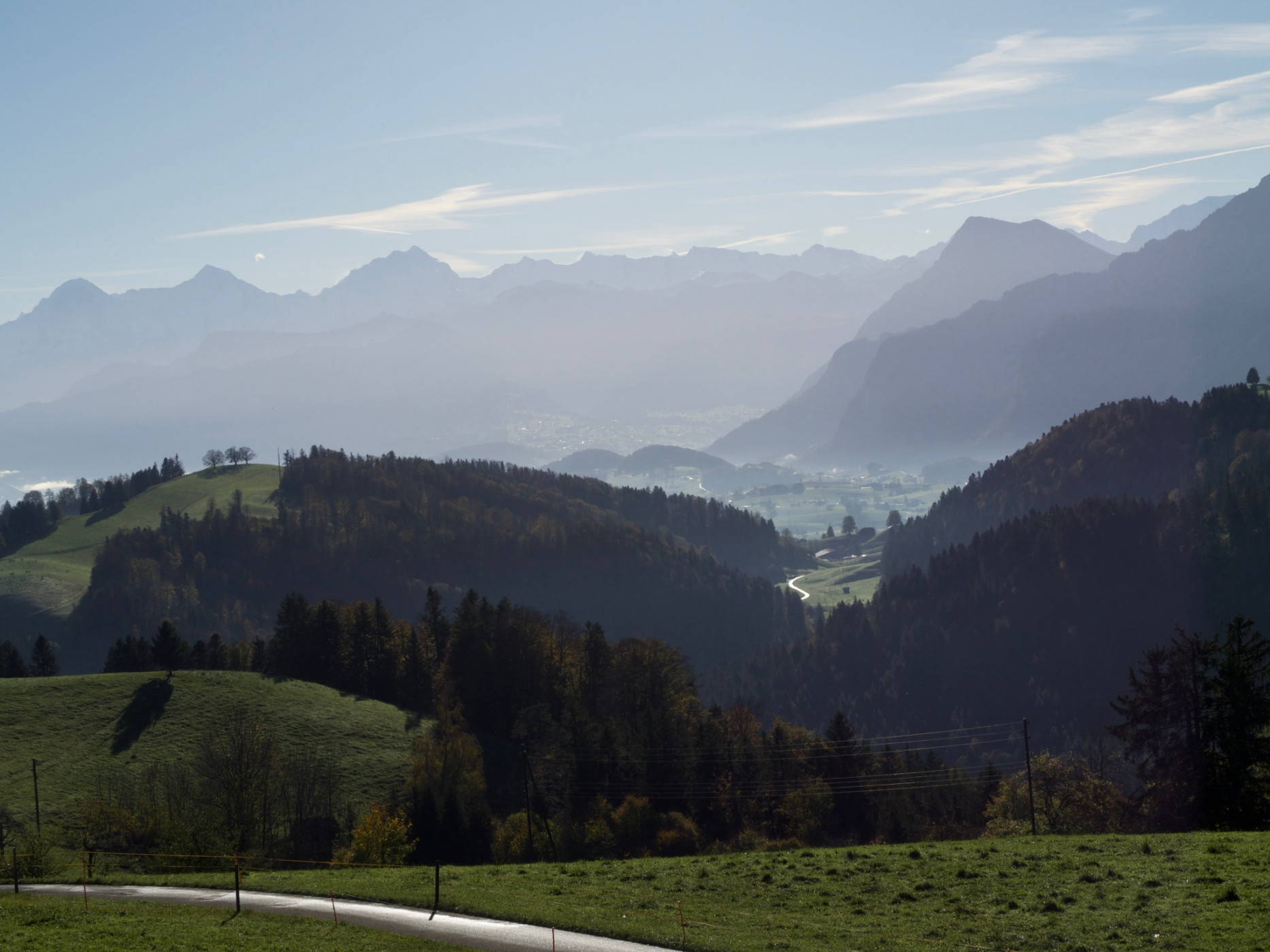
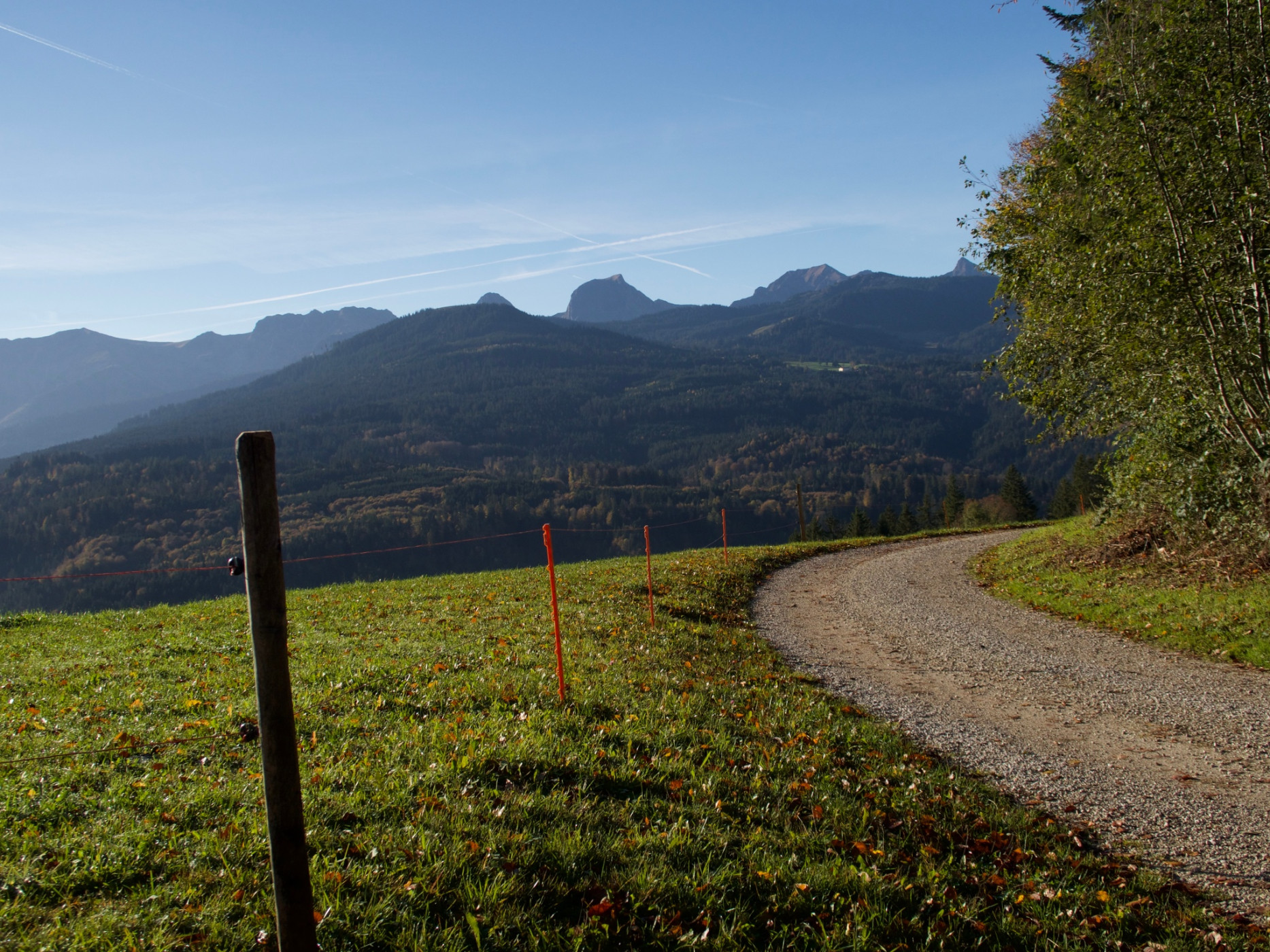
Naturpark Gantrisch - The Gibelegg route is scenic and technically attractive for biking. With constant ups and downs, this circular route leads around the Gibelegg southwest of Riggisberg.
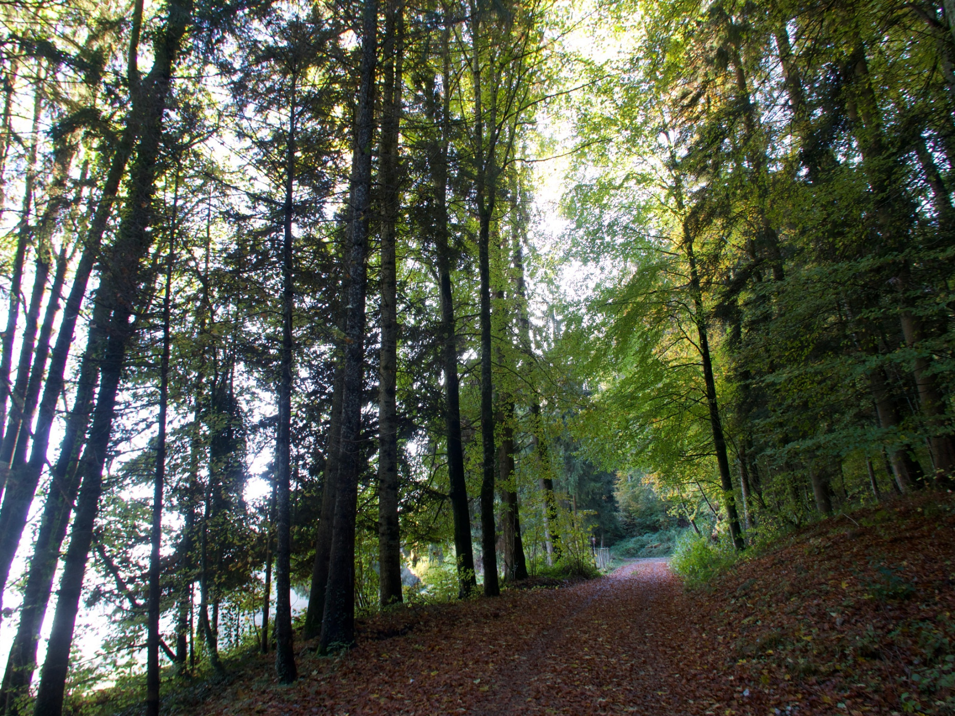
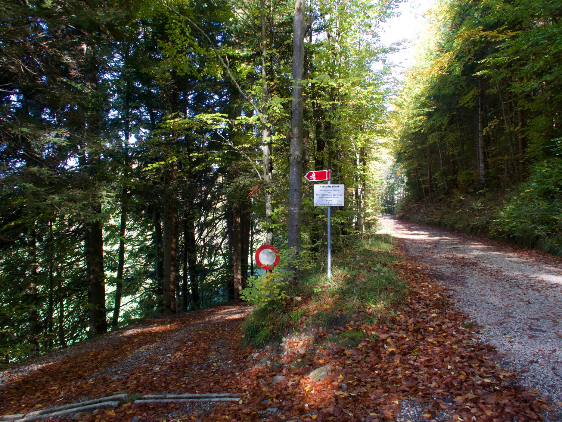
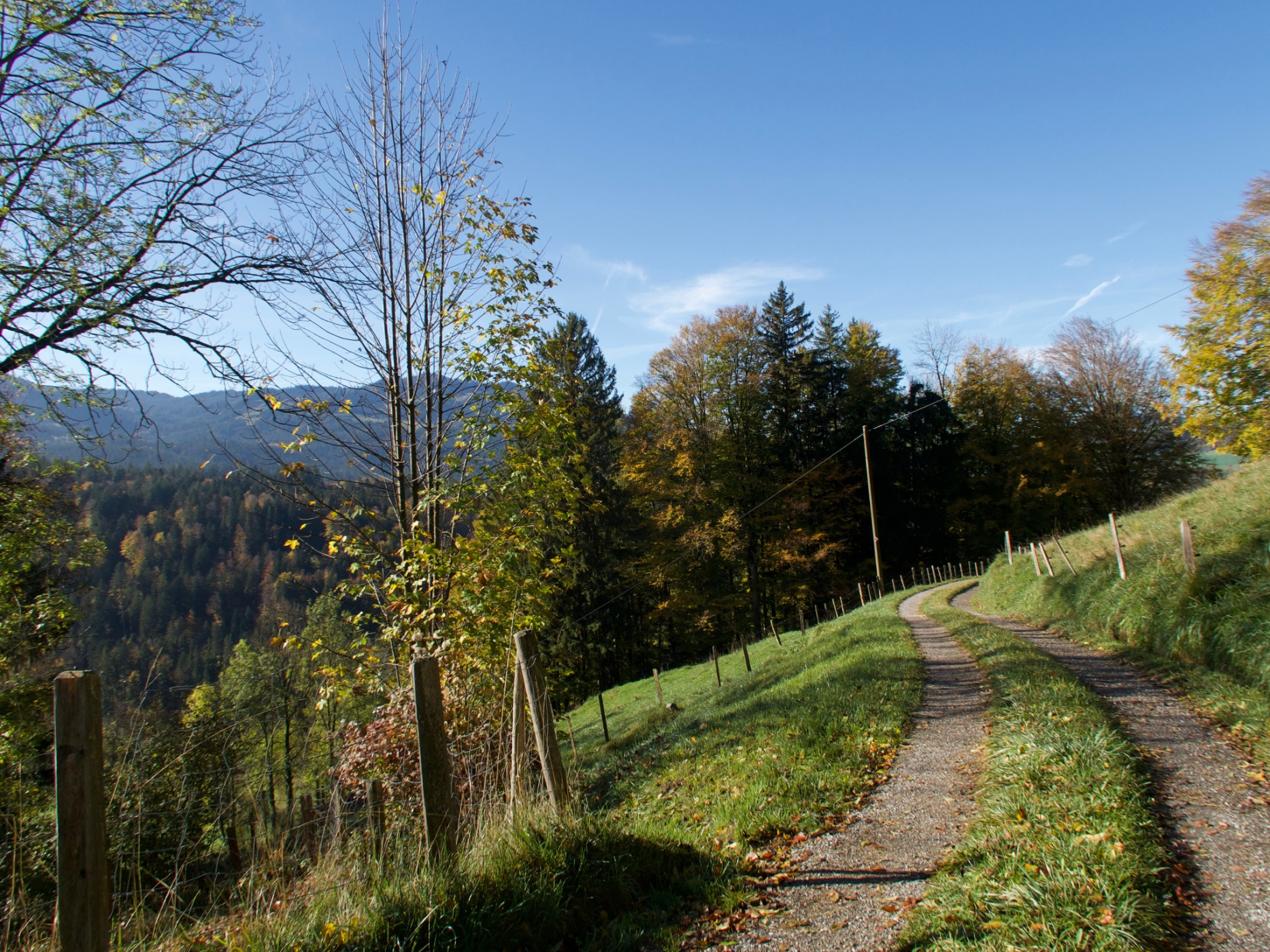
Starting from the village of Riggisberg, the route overcomes the first altitude meters on low-traffic paved roads up to the Gibeleggwald. Once in the forest, it zigzags uphill to the highest point, the Gibelegg. On rough terrain the tour then leads downhill to Schwand, before a short ascent awaits on the opposite side of the valley, which leads over pleasant gravel roads to the Längeneybad.
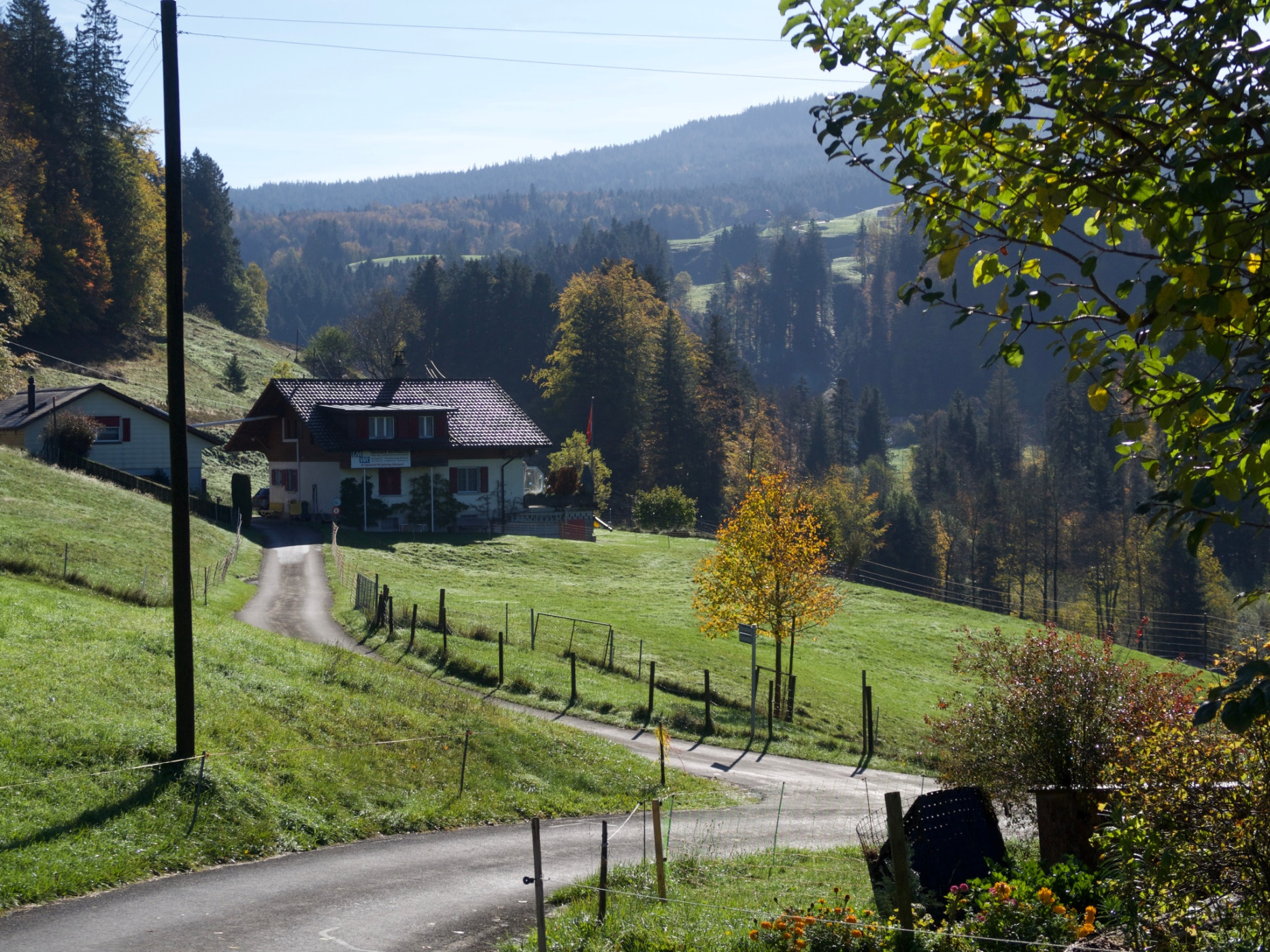
The ups and downs are not over yet: now it goes downhill to the Rütiplötsch. Another long, gentle ascent follows via gravel and dirt roads, interrupted by short paved sections, up to the northern slope of the Gibelegg. The circular route ends after another descent back to the starting point Riggisberg.
Those who start the circular route alternatively in Rüschegg also ride the route clockwise but skip the detour to Riggisberg.
Route-information
Route-information
- Length
- 22.67 km
- Altitude difference ascent
- 726 m
- Altitude difference descent
- 722 m
- Time required
- 2 hours 50 minutes
- Level technique
- Easy
- Level condition
- Middle
Details
Equipment / Equipment rent
Normal bike equipment
If interested, mountain bikes can be rented from one of our partners.
Arrival
Arrival
- Starting point
- Riggisberg, Post
- Arrival by public transport
- Riggisberg, Post Timetable SBB
- Destination
- Riggisberg, Post
Suitable for
The offer is suitable for
- Adults
- 50+

Season
Mai, June, July, August, September, OctoberContact
Naturpark GantrischFörderverein Region Gantrisch
Schlossgasse 13
3150 Schwarzenburg
Tel. +41 (0)31 808 00 20
www.gantrisch.ch