

Gurnigelwald-Gürbe (SchweizMobil 504)
Naturpark Gantrisch - ! Route section Staffelalp–Weiernmoos closed due to landslide hazard !
In autumn 2023, a landslide area reactivated in the Ahörndler region near Wattenwil. Since then, landslides have occurred repeatedly, most recently in mid-February 2024. The municipality of Wattenwil has now evacuated and closed the area due to the existing landslide hazard. There is no detour.
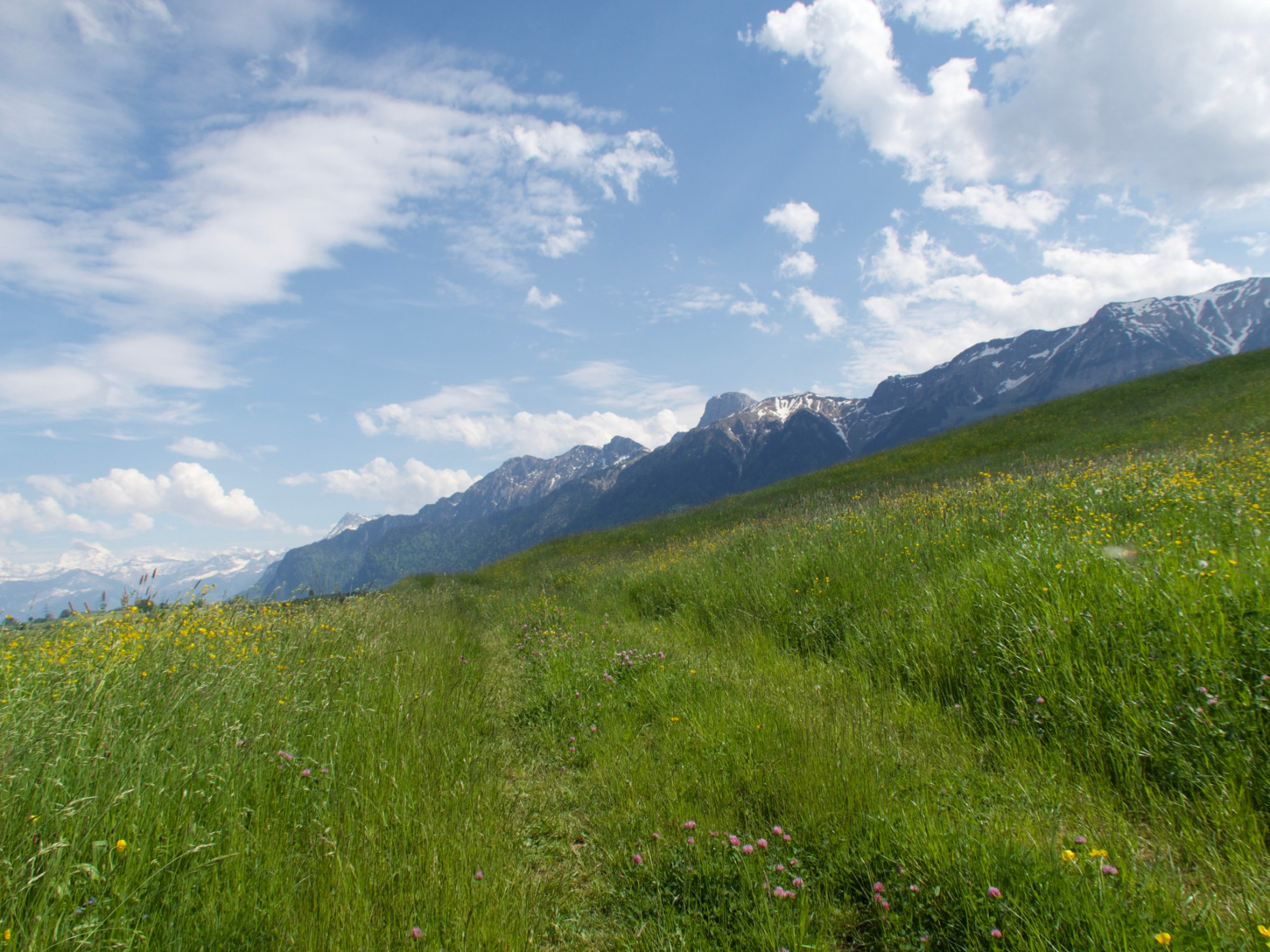
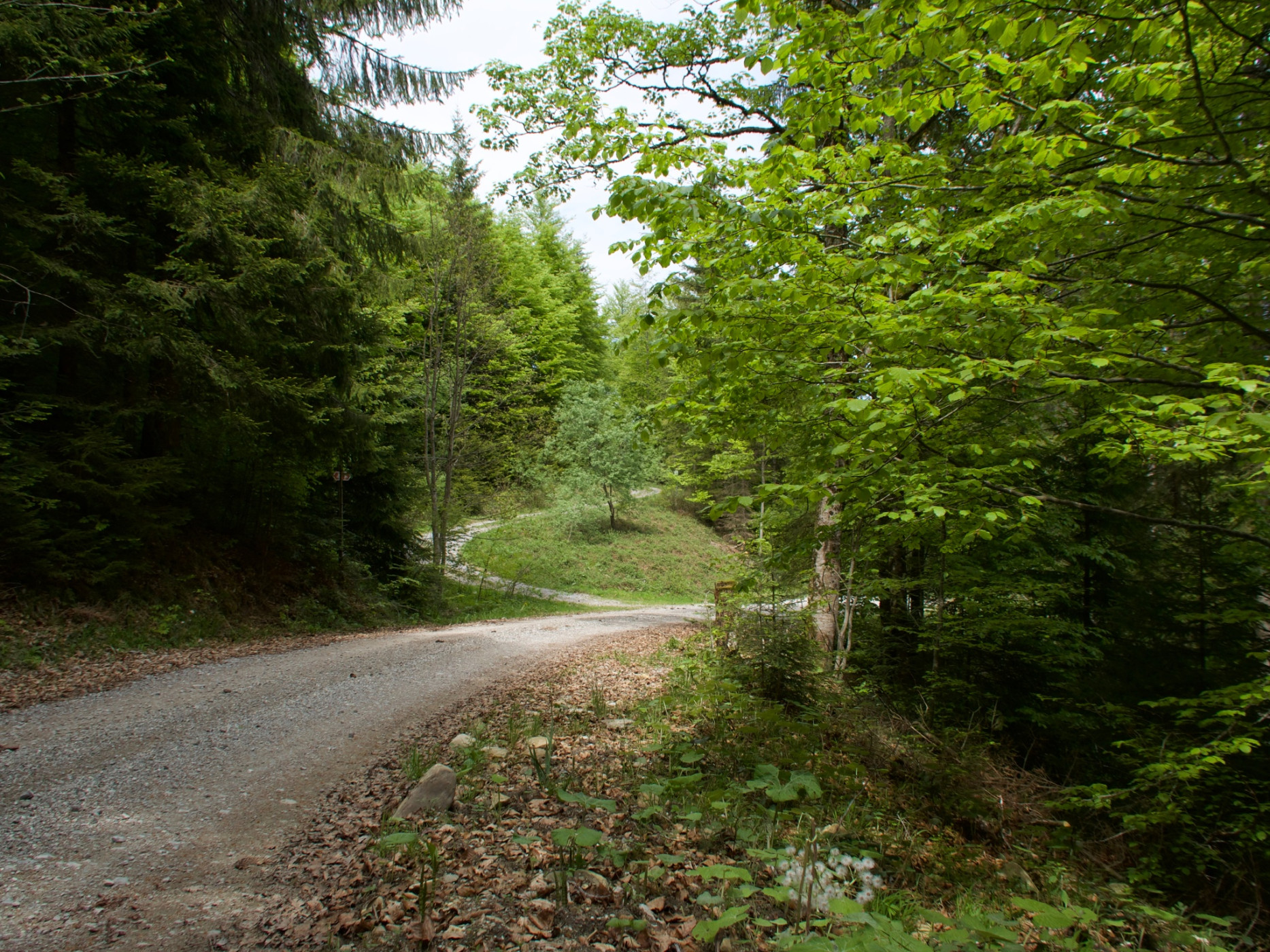
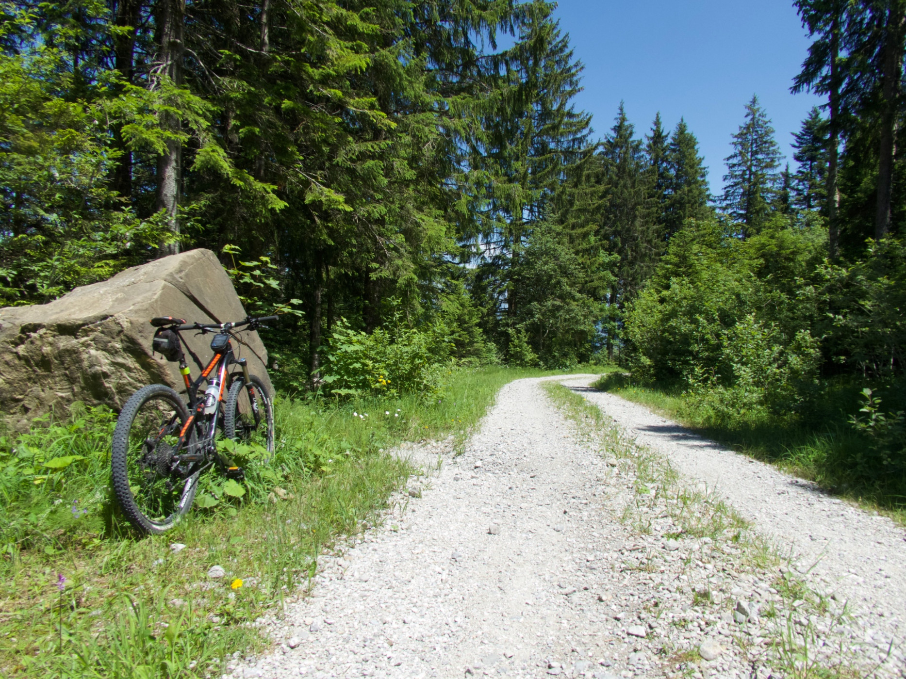
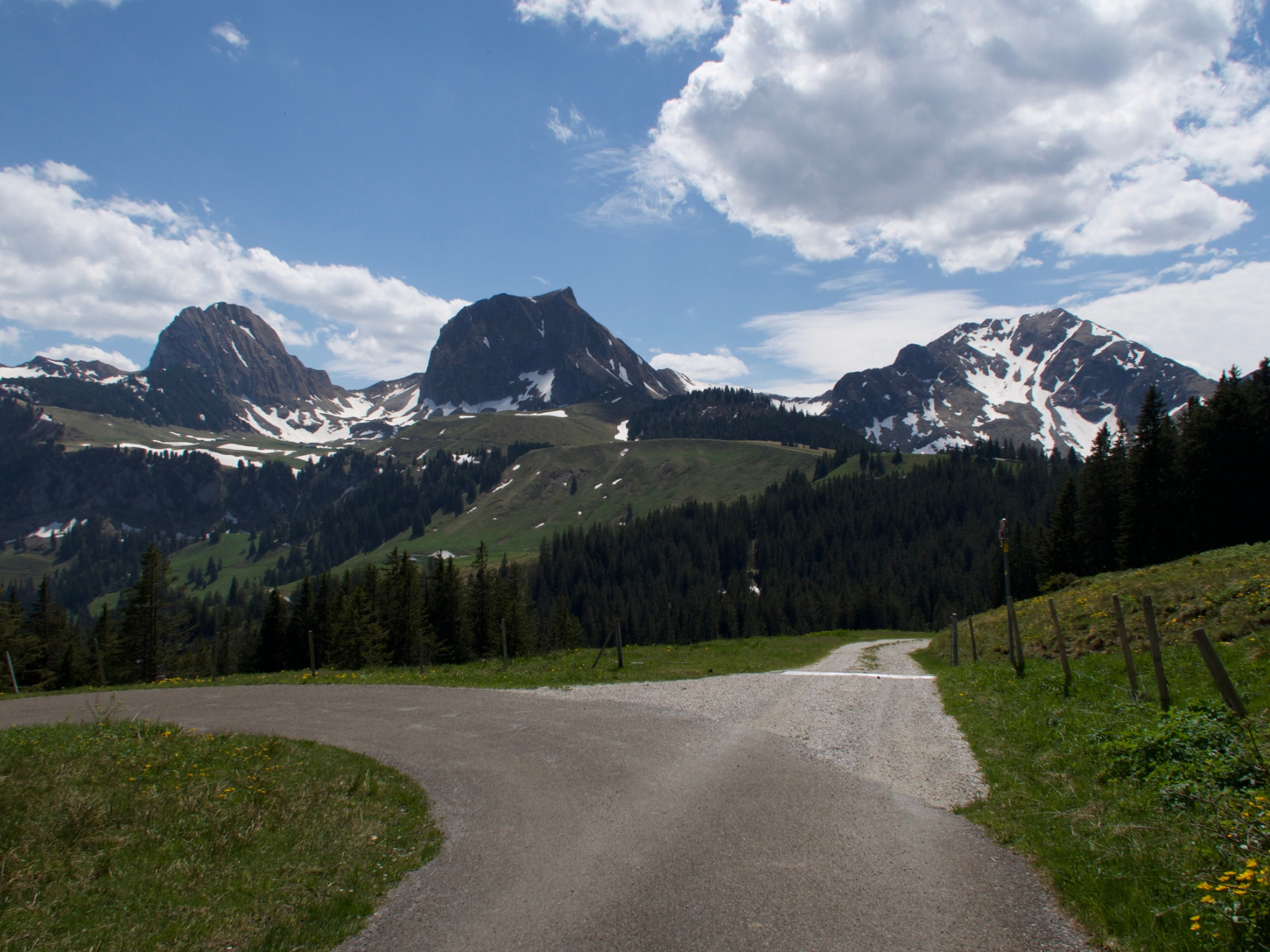
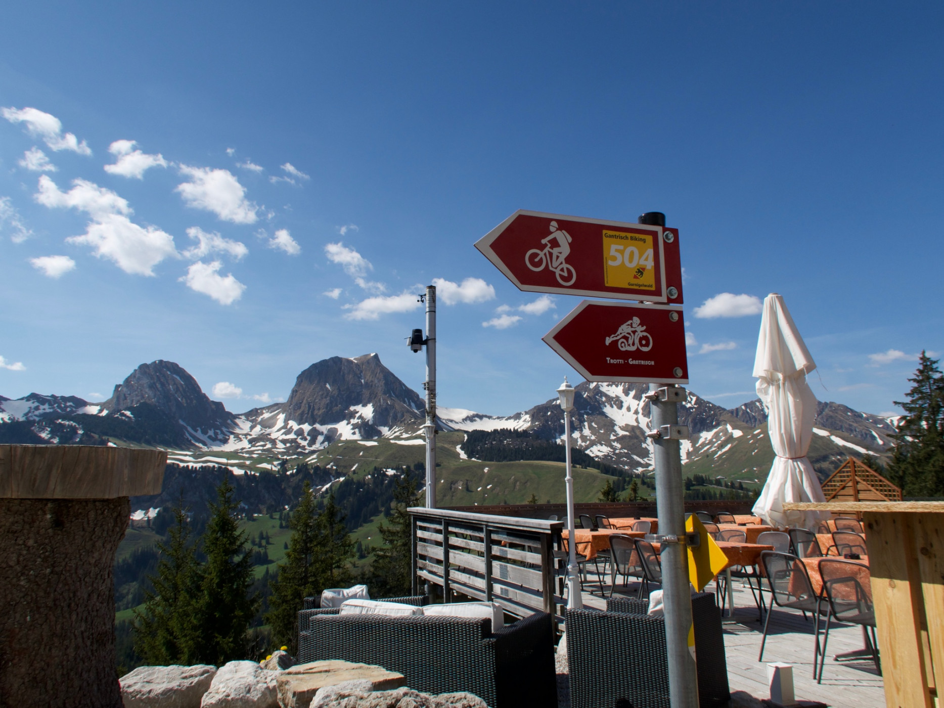
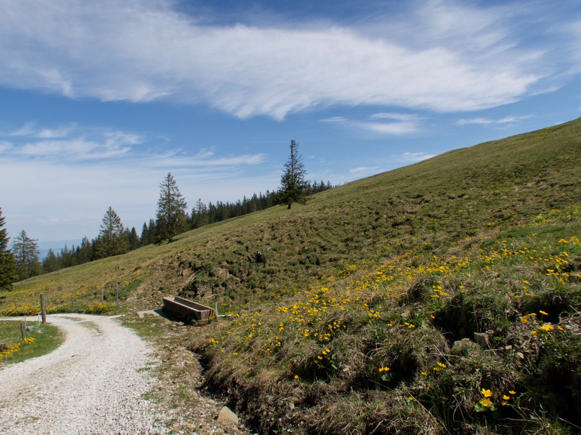
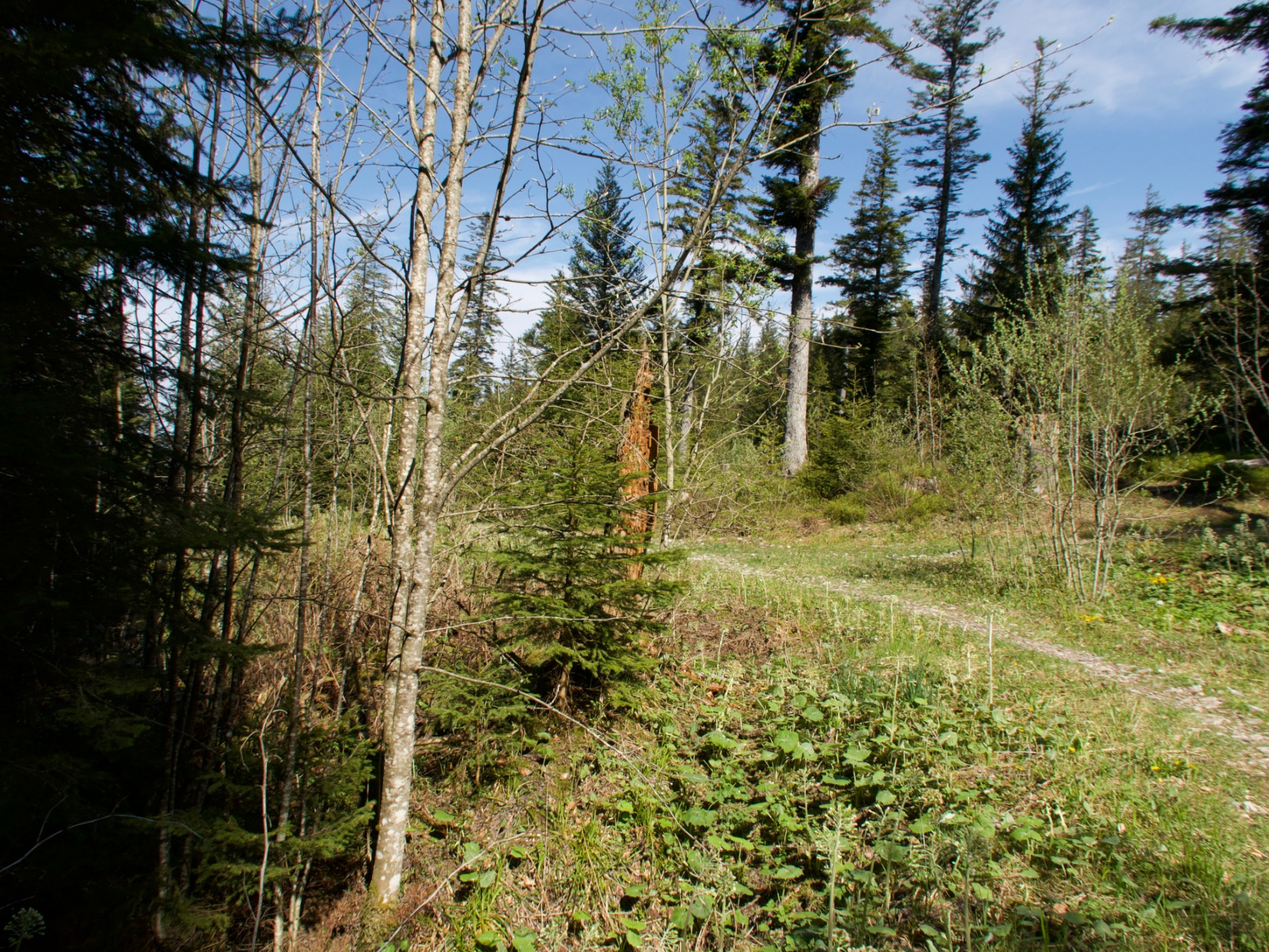
The Gurnigelwald-Gürbe bike route leads through an unknown, vast forest area. After a steady ascent, the highlight at the Gurnigel mountain lodge is reached. Afterwards follows a descent that makes biker hearts beat faster.
From Blumenstein, the national mountain bike route 2 "Panorama Bike" serves as a feeder to the Gantrisch Biking round tour 504 "Gurnigelwald – Gürbe". Through the Bluemistei forest, it then goes continuously uphill to the Gurnigel mountain lodge. The following descent is partly a bit narrow and bumpy, but the fun will prevail.
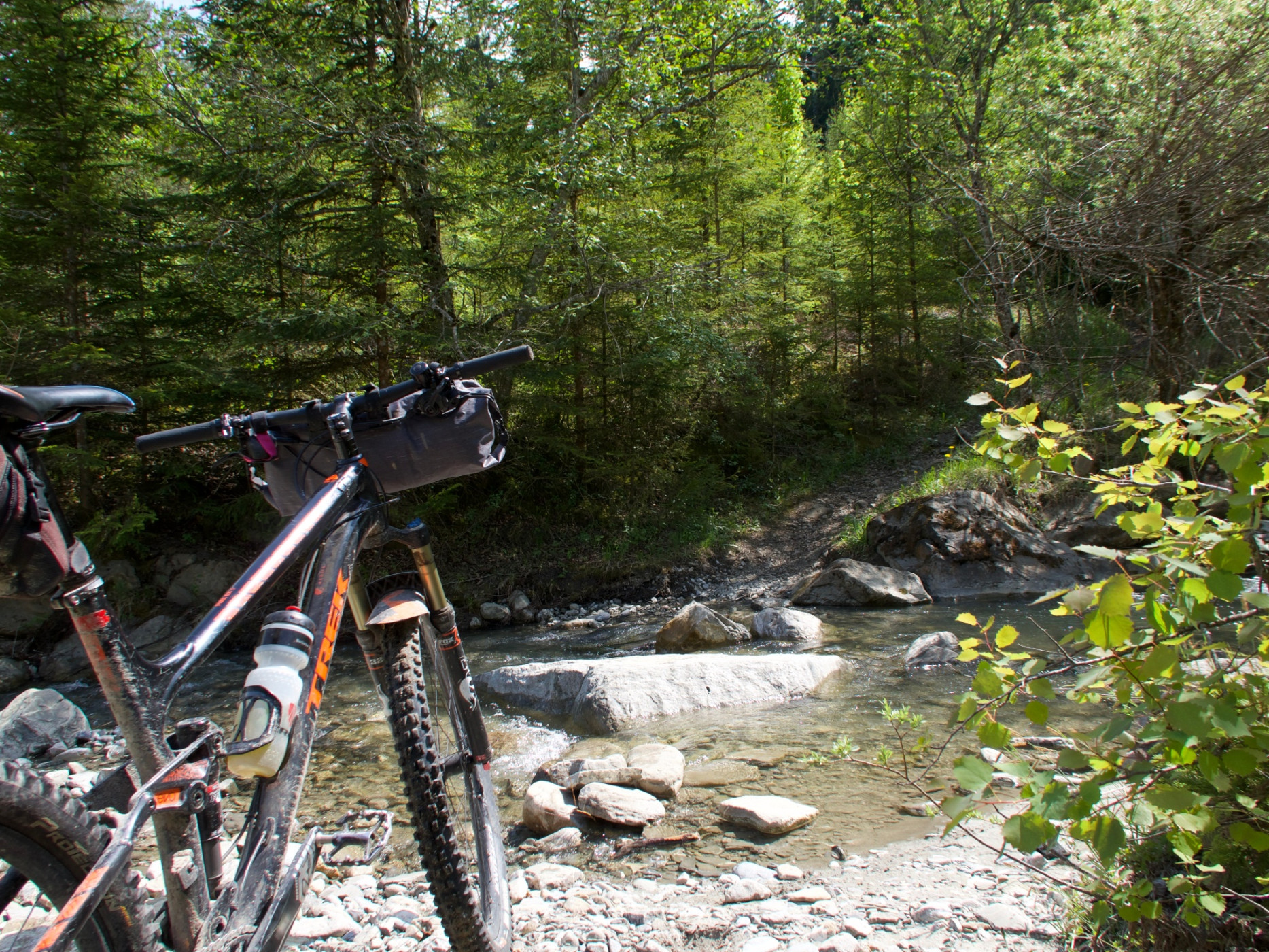
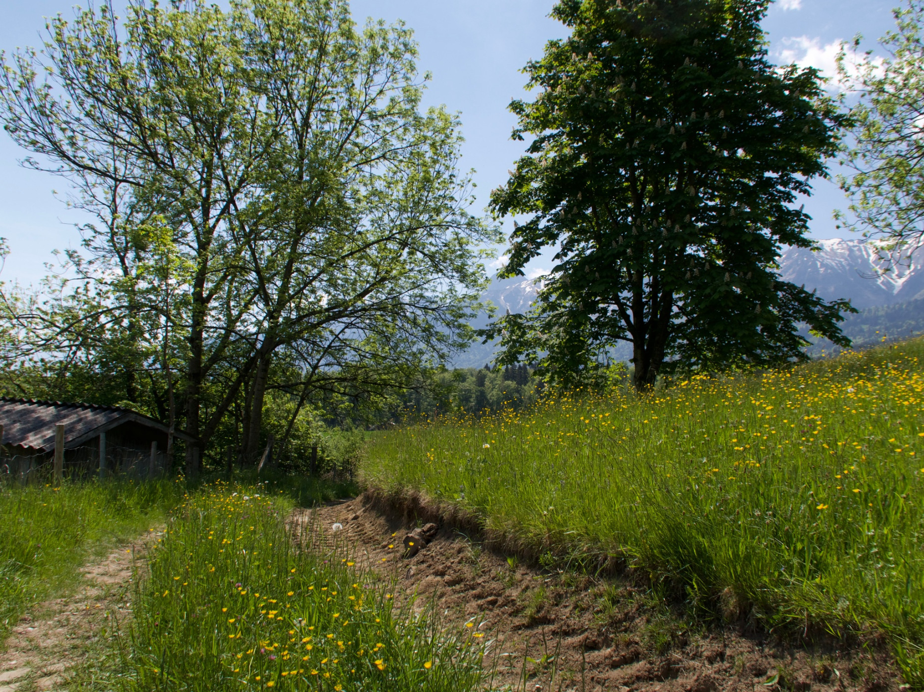
A long gravel path continues downhill. The crossing over the Gürbe is then the last obstacle: some simply ride their mountain bikes through the water. Most probably prefer to carry the bike and walk over the stone slabs.
Route-information
Route-information
- Length
- 29.50 km
- Altitude difference ascent
- 1070 m
- Altitude difference descent
- 1069 m
- Time required
- 3 hours 50 minutes
- Level technique
- Middle
- Level condition
- Hard
Details
Equipment / Equipment rent
Normal bike equipment
If interested, mountain bikes can be rented from one of our partners.
Signalization
The route is only marked clockwise.
Arrival
Arrival
- Starting point
- Wattenwil, Bären
- Arrival by public transport
- Wattenwil, Bären Timetable SBB
- Destination
- Wattenwil, Bären
Suitable for
The offer is suitable for
- Adults
- 50+
Season
Mai, June, July, August, September, OctoberContact
Naturpark GantrischFörderverein Region Gantrisch
Schlossgasse 13
3150 Schwarzenburg
T +41 (0)31 808 00 20
www.gantrisch.ch