


Fricktal High Trail (3): Wegenstetten - Frick
Jurapark Aargau - The Fricktal High Trail - 60 well-marked hiking kilometers that enchant in every season!
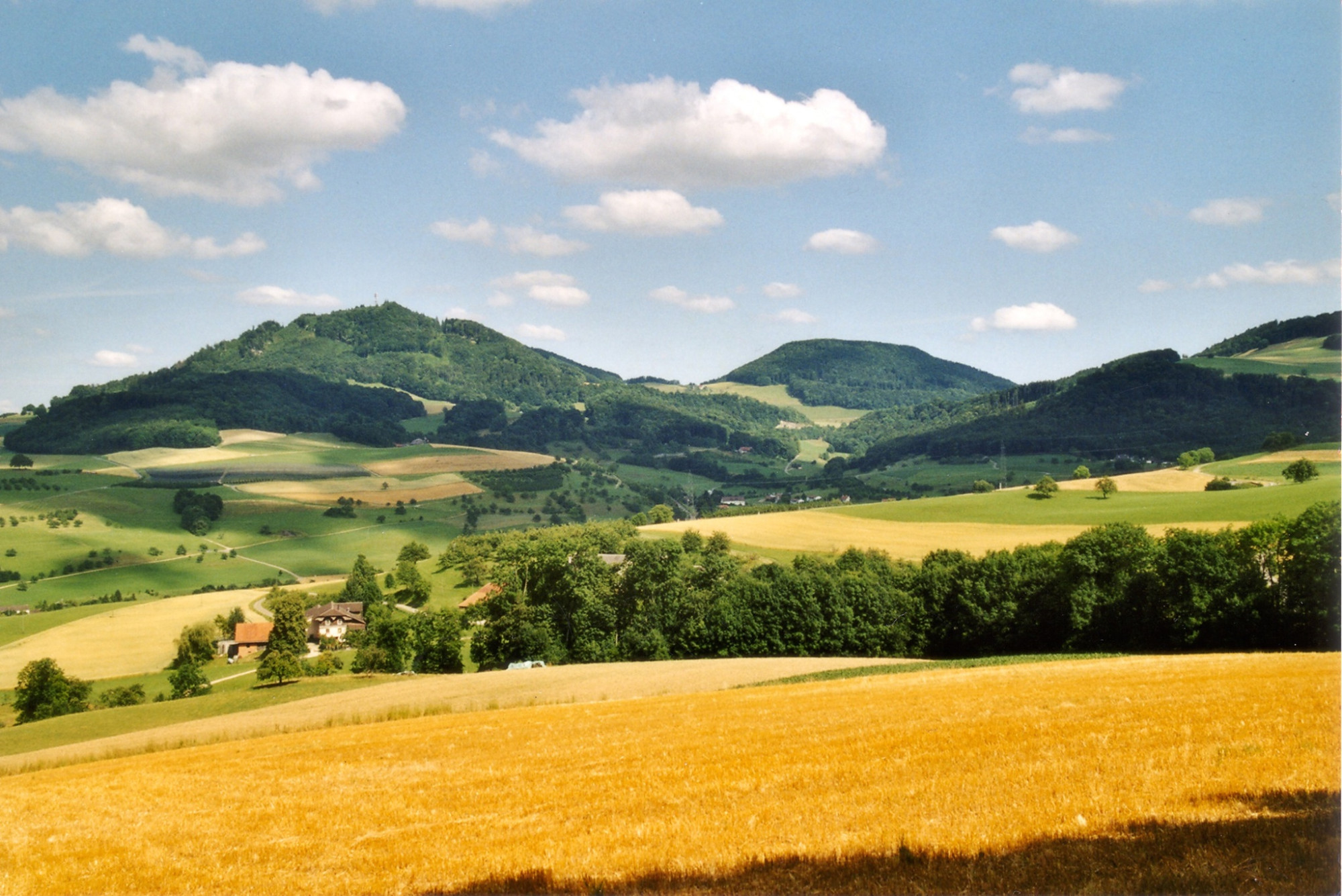
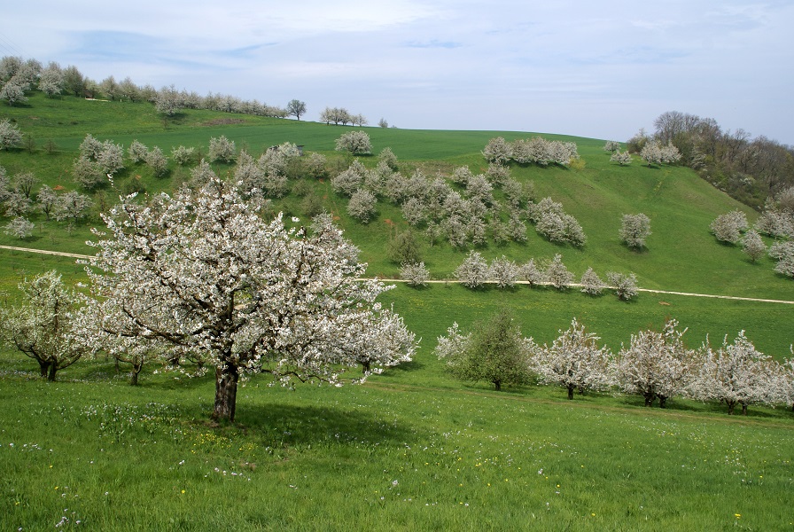
Along the Fricktal High Trail, you will experience the Fricktal at its most beautiful. When cherry blossoms bloom and meadows shine yellow. When a thunderstorm approaches in the distance and the break at the barbecue area or the restaurant is so cozy that you wish to linger forever. Or when the colorful leaves cover the forest path in autumn and the heights of Fricktal, the Black Forest, and the Basel region rise white into the clear winter air.
Route-information
Route-information
- Length
- 11.50 km
- Altitude difference ascent
- 267 m
- Altitude difference descent
- 464 m
- Time required
- 3 hours 10 minutes
- Level technique
- Easy
- Level condition
- Middle
Details
Equipment / Equipment rent
Sturdy footwear, rain jacket, sun protection, drinksSignalization
Wegenstetten - Fazedelle - Alt Tierstein Ruin - Gipf-Oberfrick - Frick
From Wegenstetten, the official hiking route leads towards Schupfart airfield. Then the ascent begins over Fazadellerkreuz to the 749 m high Tiersteinberg, where the magnificent view over the wide ridges of the Black Forest makes you forget the climb. Up the Spitzgraben follows the scenic Chriesiberg (450 m). Toward Schupfart airfield (545 m), passing the renovated Alt Tierstein castle ruin (630 m), over the Chaltenbrunnen area (578 m) to Frick. In the village of Frick, the day can be wonderfully ended with a Zvieriplättli (light afternoon snack).
Arrival
Arrival
- Starting point
- Wegenstetten, alte Post
- Arrival by public transport
- Wegenstetten, alte Post Timetable SBB
- Destination
- Frick, Bahnhof
Suitable for
The offer is suitable for
- Adults
- Children >12 years
- 50+
Season
All season
Contact
Jurapark AargauJurapark Aargau Geschäftsstelle
Linn 51
5225 Bözberg
T 062 877 15 04
www.jurapark-aargau.ch