


Gürbe - Sense Stage 1 (SchweizMobil 74)
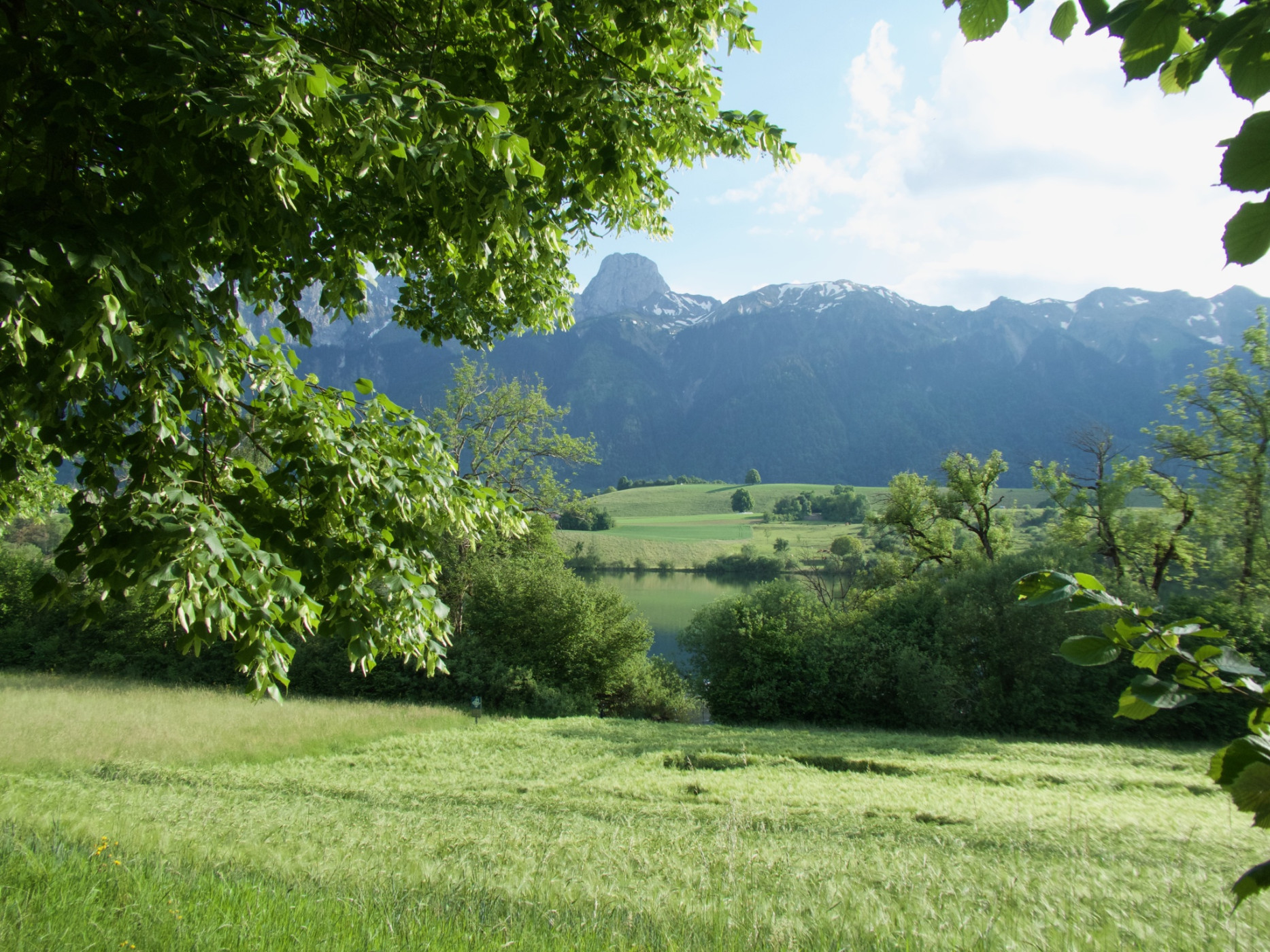
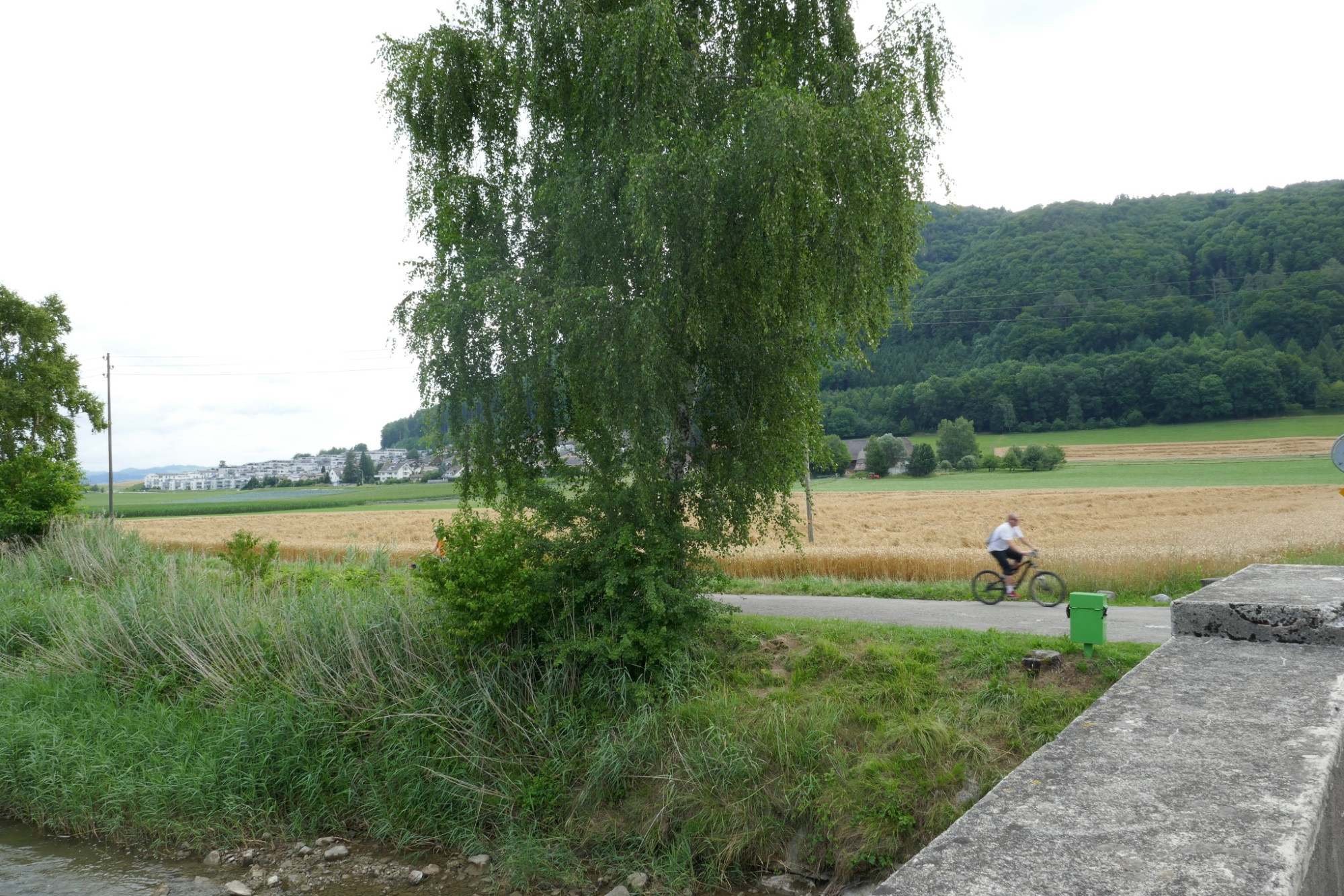
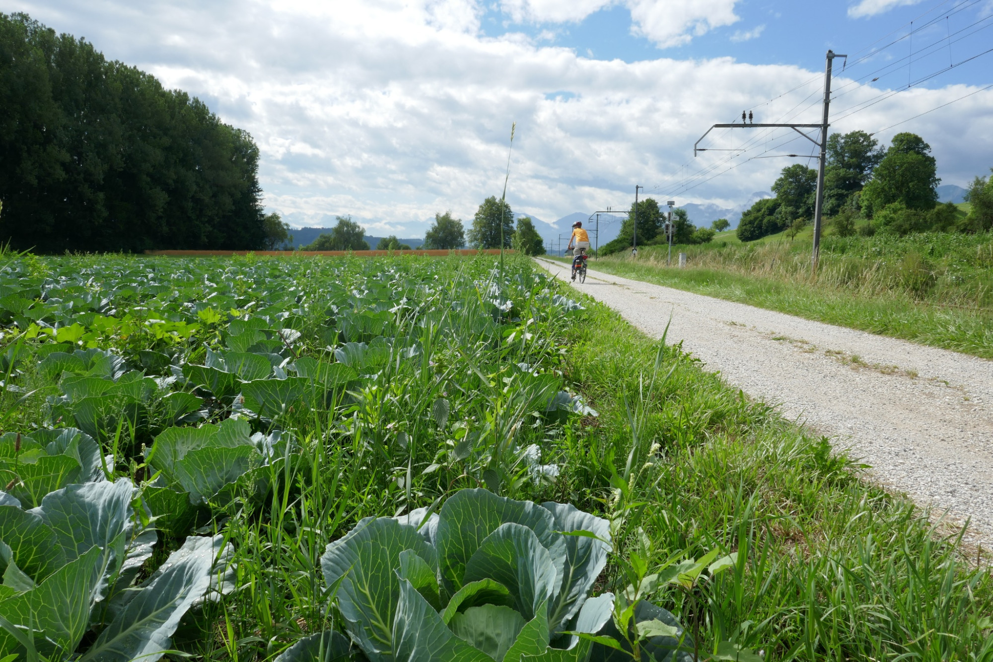
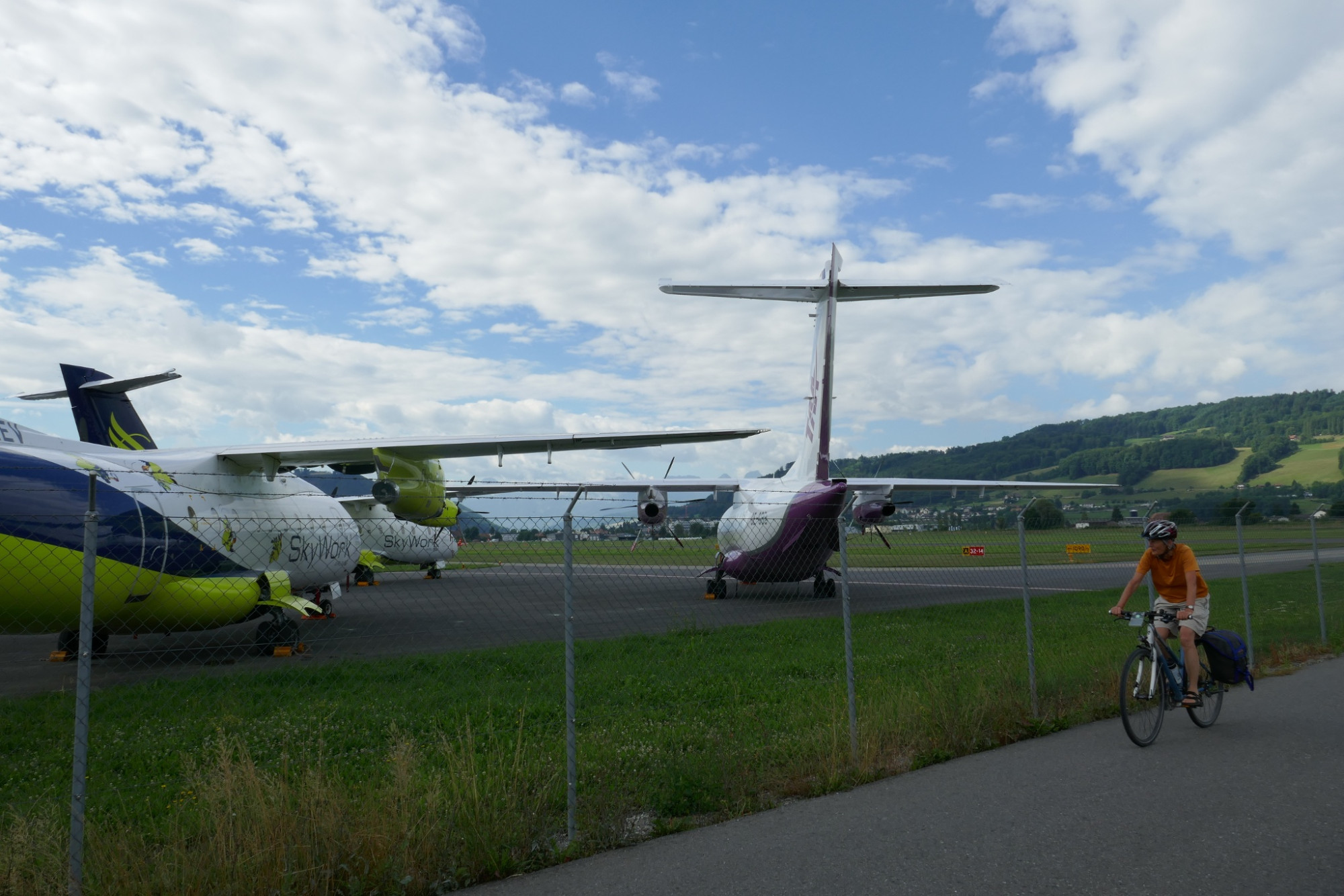
Naturpark Gantrisch - Over gentle hills, past small moraine lakes into the «Chabisland». It rolls easily between marked fields. In Belpmoos, silvery planes await takeoff. On the ground, the Aare is followed and then through the alleys of Bern's UNESCO Old Town.
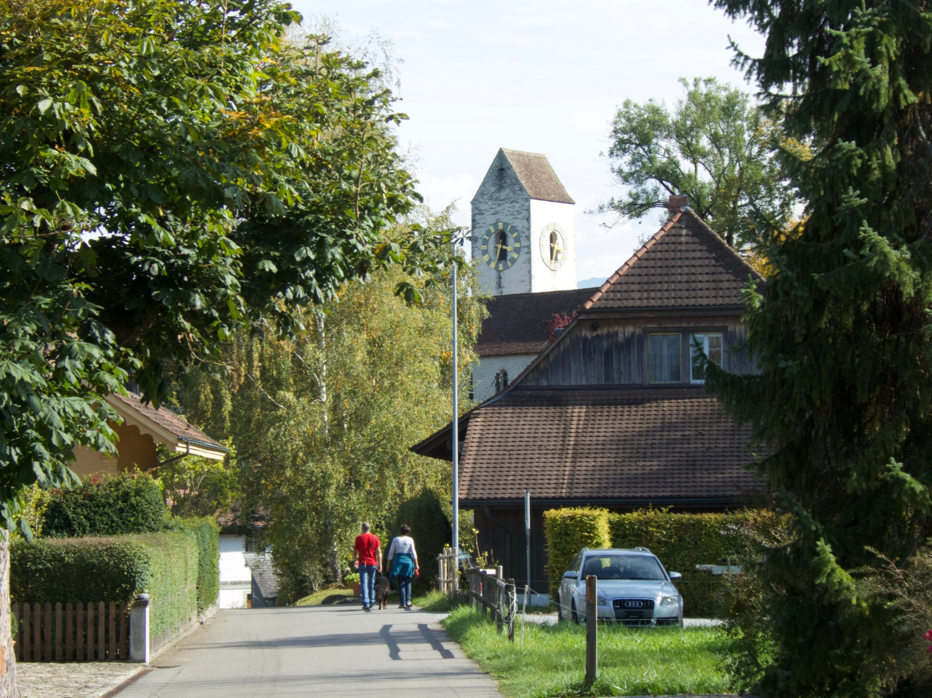
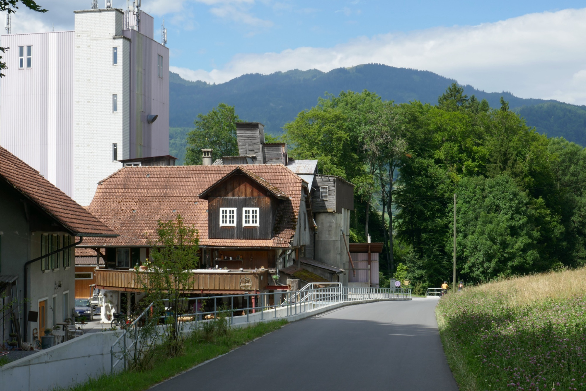
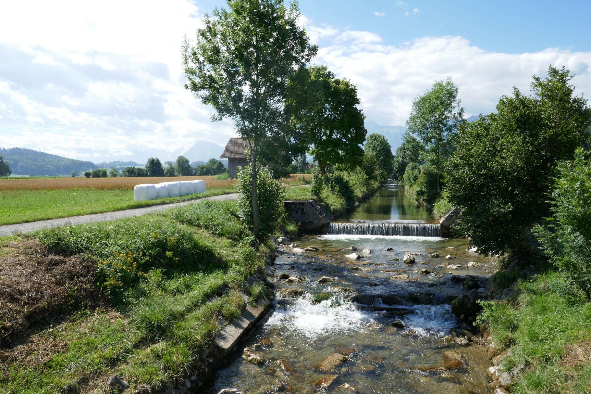
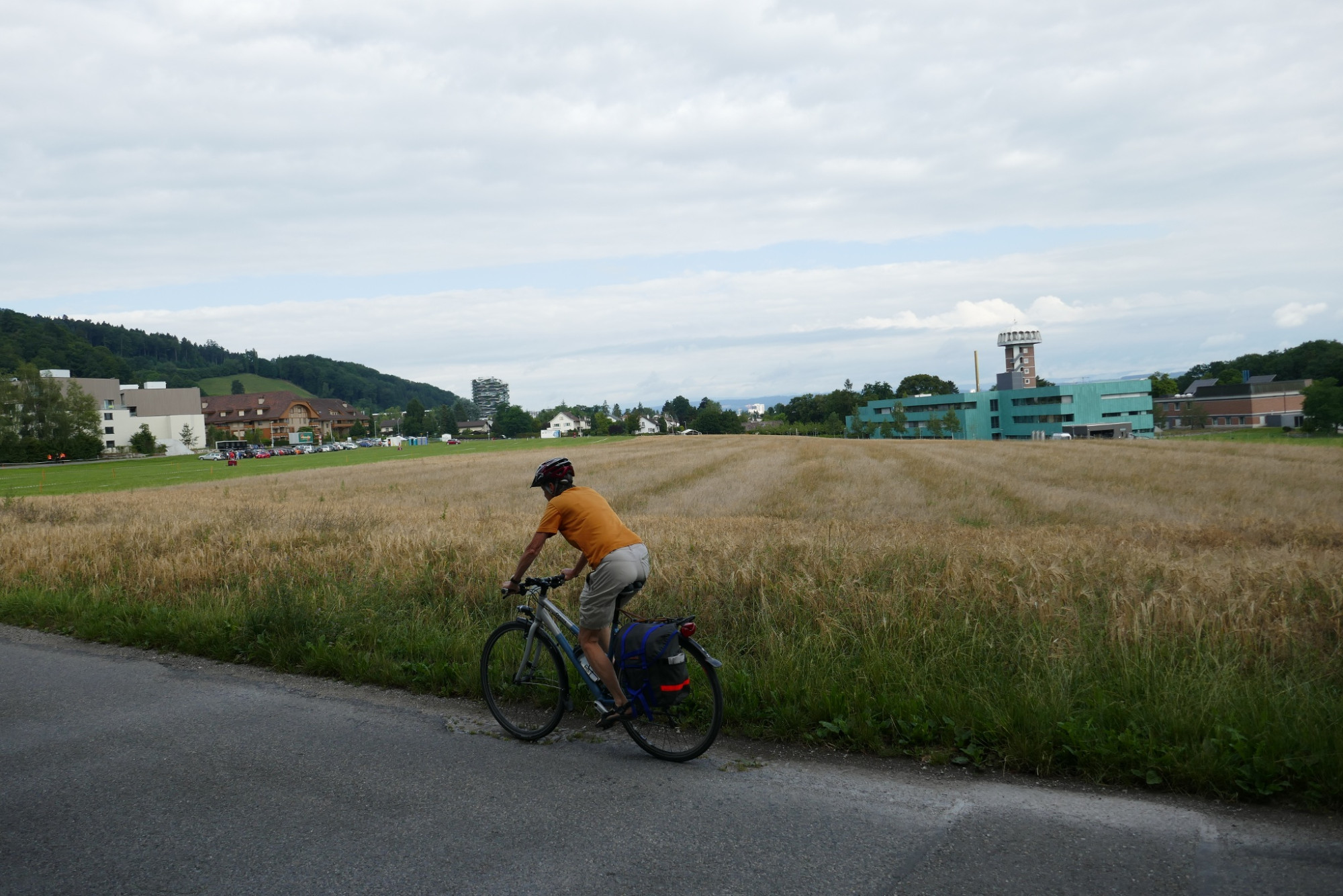
A «back-and-forth» route from Thun Amsoldingen to Bern crosses the valley plains and hills in the southwest of Bern. The path leads past small, mostly warm moraine lakes, such as Amsoldinger or Uebeschisee, into the Gürbetal plain. The strictly geometric pattern of the reclaimed moor is broken up by old peat huts and lone trees. It rolls easily through the Chabisland, often on a bank path along the Gürbe. After Belp, light aircraft and silvery small jets from Belpmoos airport conquer Bern's airspace.
You stay on the ground and dive right into the federal capital, passing the Bear Pit and the Federal Palace. Previously, the view of the Old Town with its arcades, the Zytglogge and numerous figure fountains from the 16th century accompanied us.
Route-information
Route-information
- Length
- 38.32 km
- Altitude difference ascent
- 168 m
- Altitude difference descent
- 271 m
- Time required
- 2 hours 40 minutes
- Level technique
- Easy
- Level condition
- Easy
Details
Arrival
Arrival
- Starting point
- Amsoldingen, Kreuz
- Arrival by public transport
- Amsoldingen, Kreuz Timetable SBB
- Destination
- Bahnhof Bern
Suitable for
The offer is suitable for
- Adults
- 50+

Season
April, Mai, June, July, August, September, October, NovemberContact
Naturpark GantrischFörderverein Region Gantrisch
Schlossgasse 13
3150 Schwarzenburg
T +41 (0)31 808 00 20
www.gantrisch.ch