
Sörenberg - Satz - Haglere - Mittlist Gfäl - Sörenberg
UNESCO Biosphäre Entlebuch - Circular route through the Haglere nature reserve and stunning panoramic views.
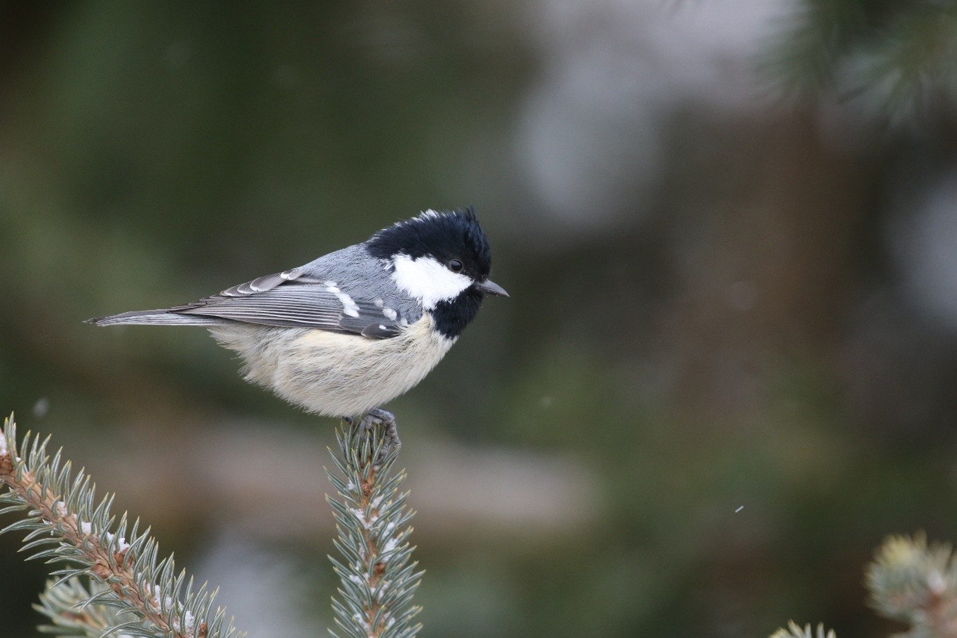
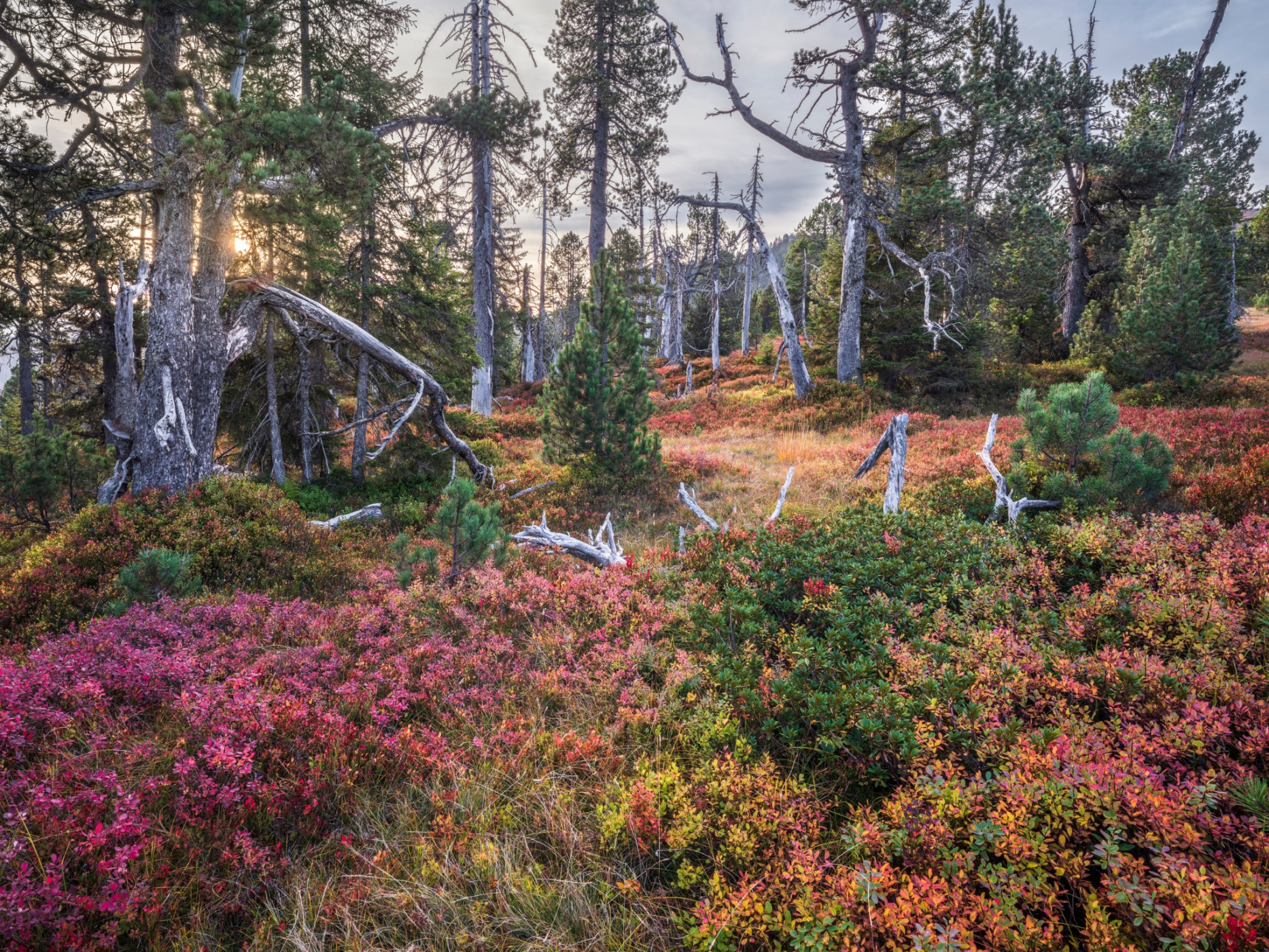
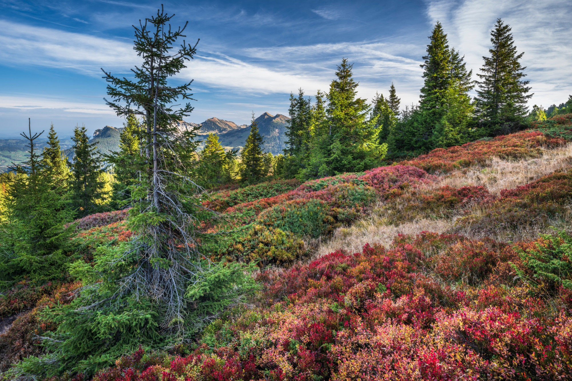
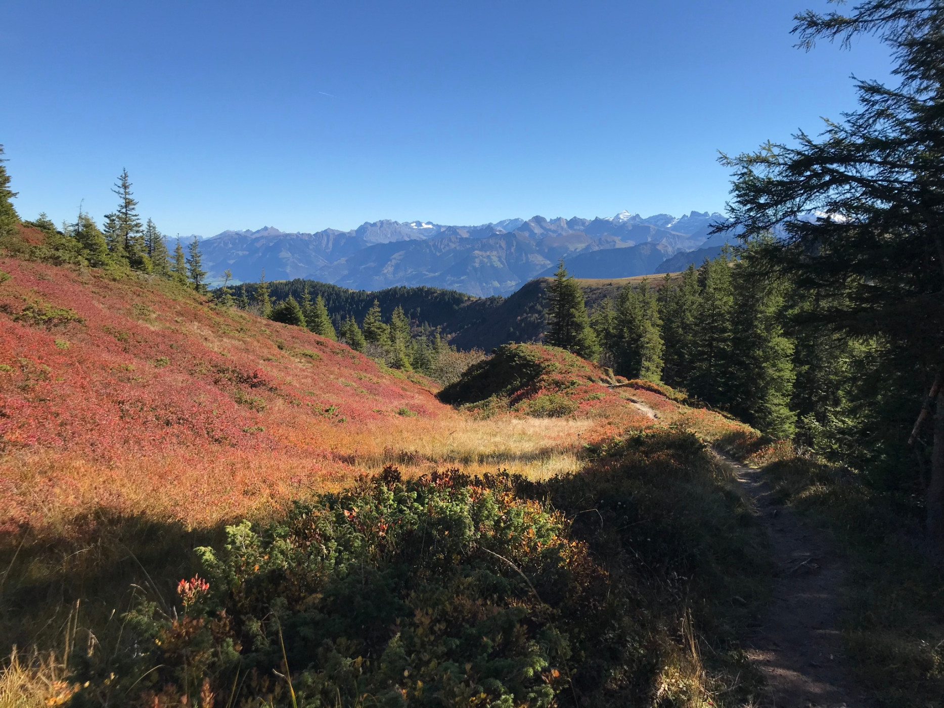
The start and finish of this demanding hiking route is in the village of Sörenberg. Through the Obersörenberg district, you hike uphill towards Alpweid. From here, you increasingly immerse yourself in the natural landscape. Juicy alpine meadows and shading forests. At the Teufimattsattel, take the branch towards Haglere. From there, you can admire the colorful moorland of the Haglere area. The nature reserve promises pure nature. Look and listen around, many animal species, moor plants, and gnarled mountain pines can be found here.
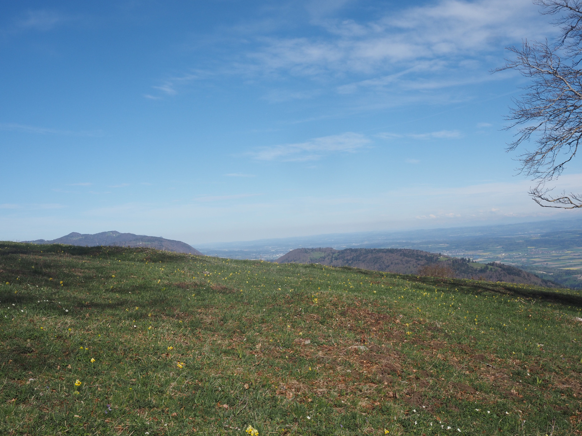
At the summit cross, almost 2,000 m above sea level, you can enjoy a fantastic view - over the village of Sörenberg but also of the surrounding mountain scenery.
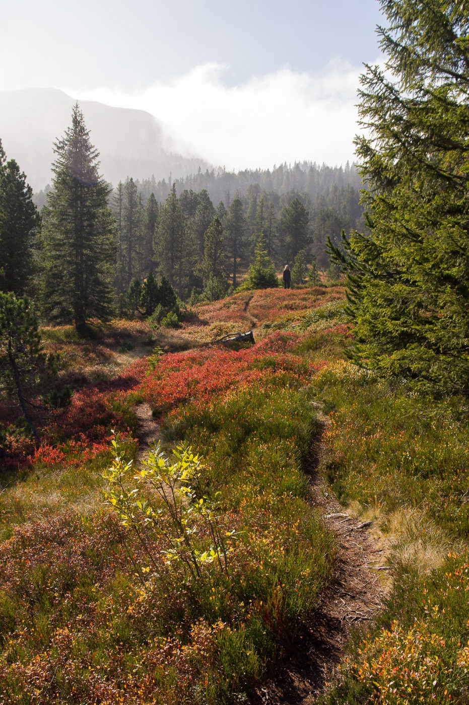
Now the descent begins again. Enjoy the diverse moorland once more on the first section of the trail. In the Mittlistgfäl area, take the hiking trail back to Sörenberg. Here, you will need to use your legs again. You hike back towards Alpweid and from there back to the village.
Route-information
Route-information
- Length
- 9.25 km
- Altitude difference ascent
- 791 m
- Altitude difference descent
- 793 m
- Time required
- 4 hours 15 minutes
- Level technique
- Easy
- Level condition
- Middle
Details
Sörenberg Flühli Tourism
Rothornstrasse 21
CH-6174 Sörenberg
Phone +41 (0)41 488 11 85
www.soerenberg.ch
Equipment / Equipment rent
Good footwear, a rain jacket & enough drinking water for the journey are part of every hike.
More tips for safe hiking, information about suckler cow herds and livestock guardian dogs, and much more can be found on the Swiss Hiking Trails website.
Safety advices
The section between Alpweid - Satz and Mittlist Gfäl - Alpweid is always very wet.Arrival
Arrival
- Starting point
- Dorfzentrum Sörenberg
- Arrival by public transport
- Sörenberg, Post Timetable SBB
- Destination
- Dorfzentrum Sörenberg
Suitable for
The offer is suitable for
- Adults
- Children >12 years
- 50+
Season
Mai, June, July, August, September, OctoberContact
UNESCO Biosphäre EntlebuchBiosphärenzentrum UNESCO Biosphäre Entlebuch
Chlosterbüel 28
6170 Schüpfheim
T +41 41 485 42 50
www.biosphaere.ch