
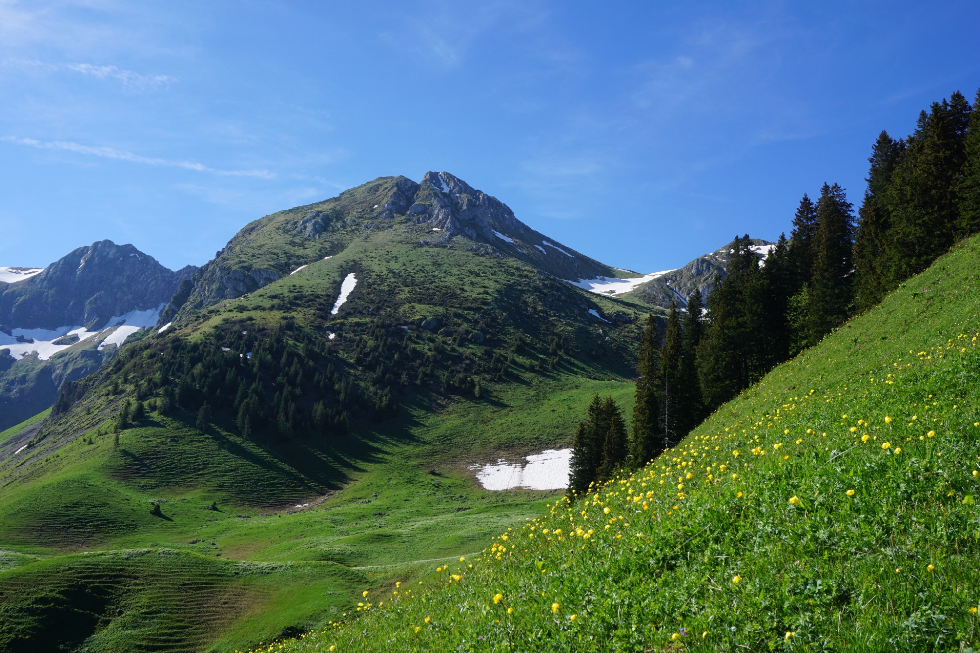
Summit hike Ochsen, 2188 m above sea level
Naturpark Gantrisch - The hike to the highest mountain of the Gantrisch Nature Park offers beautiful views from the Central Plateau to the Oberland and the Fribourg Alps.
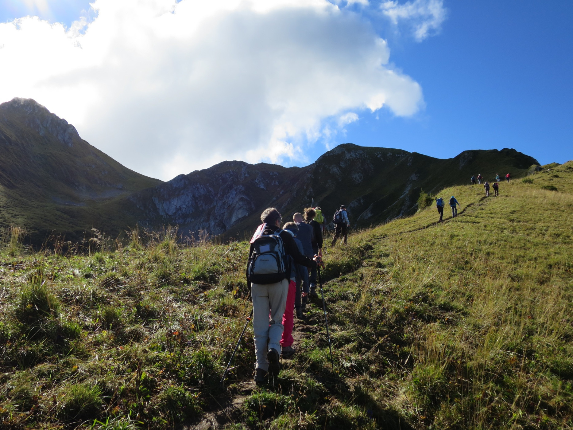
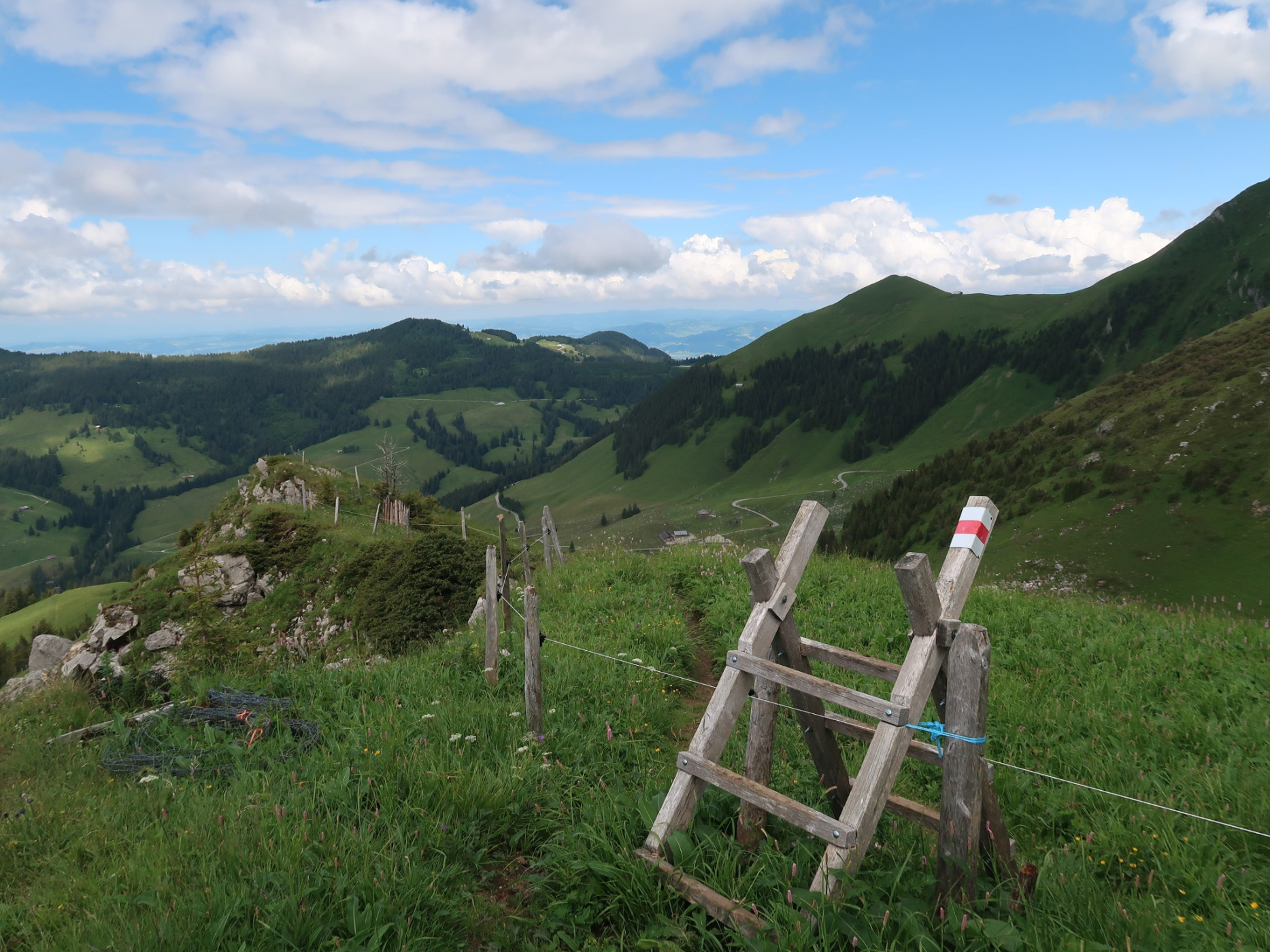
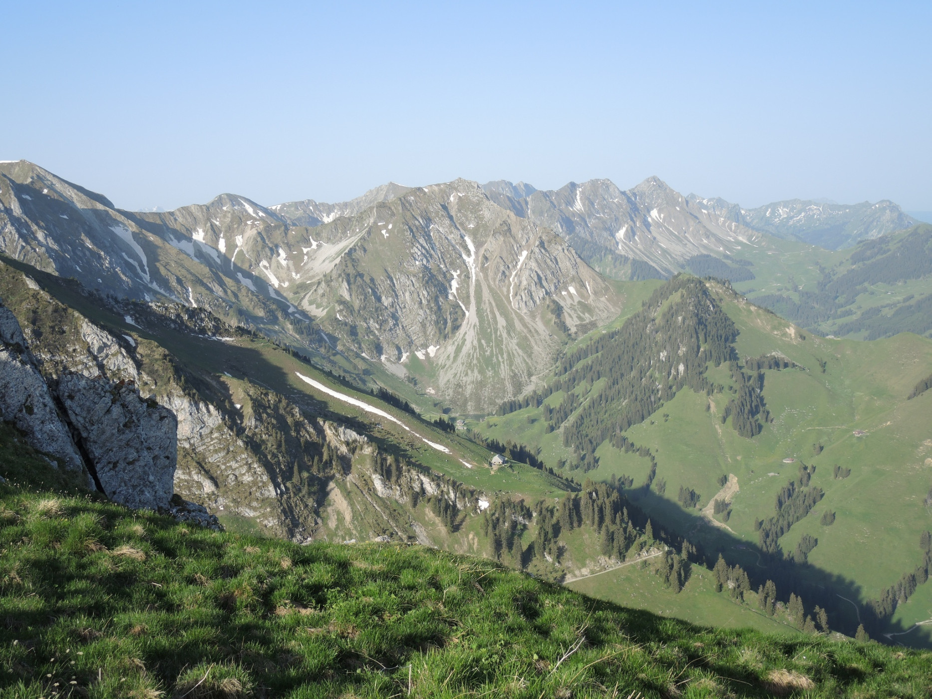
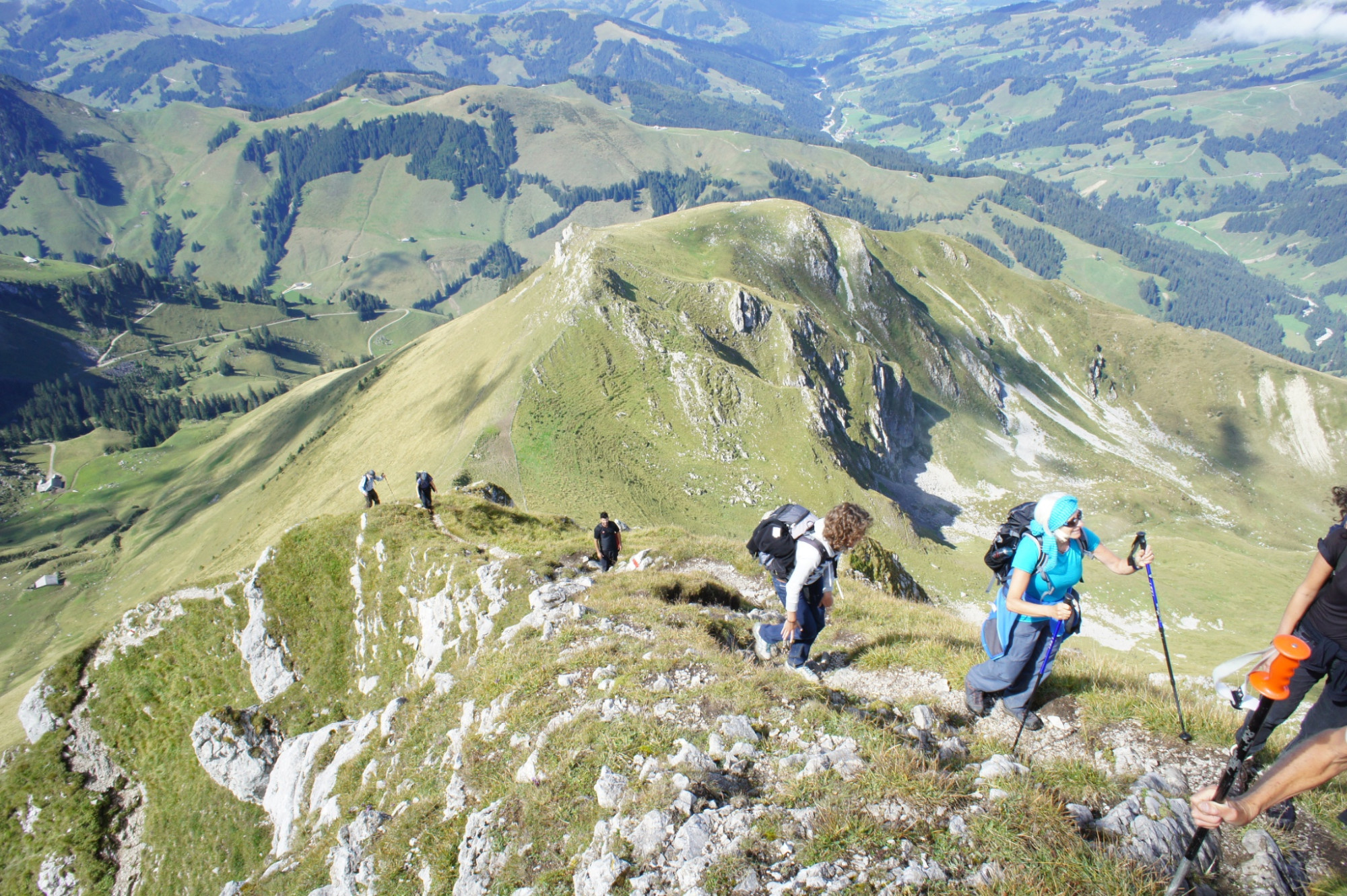
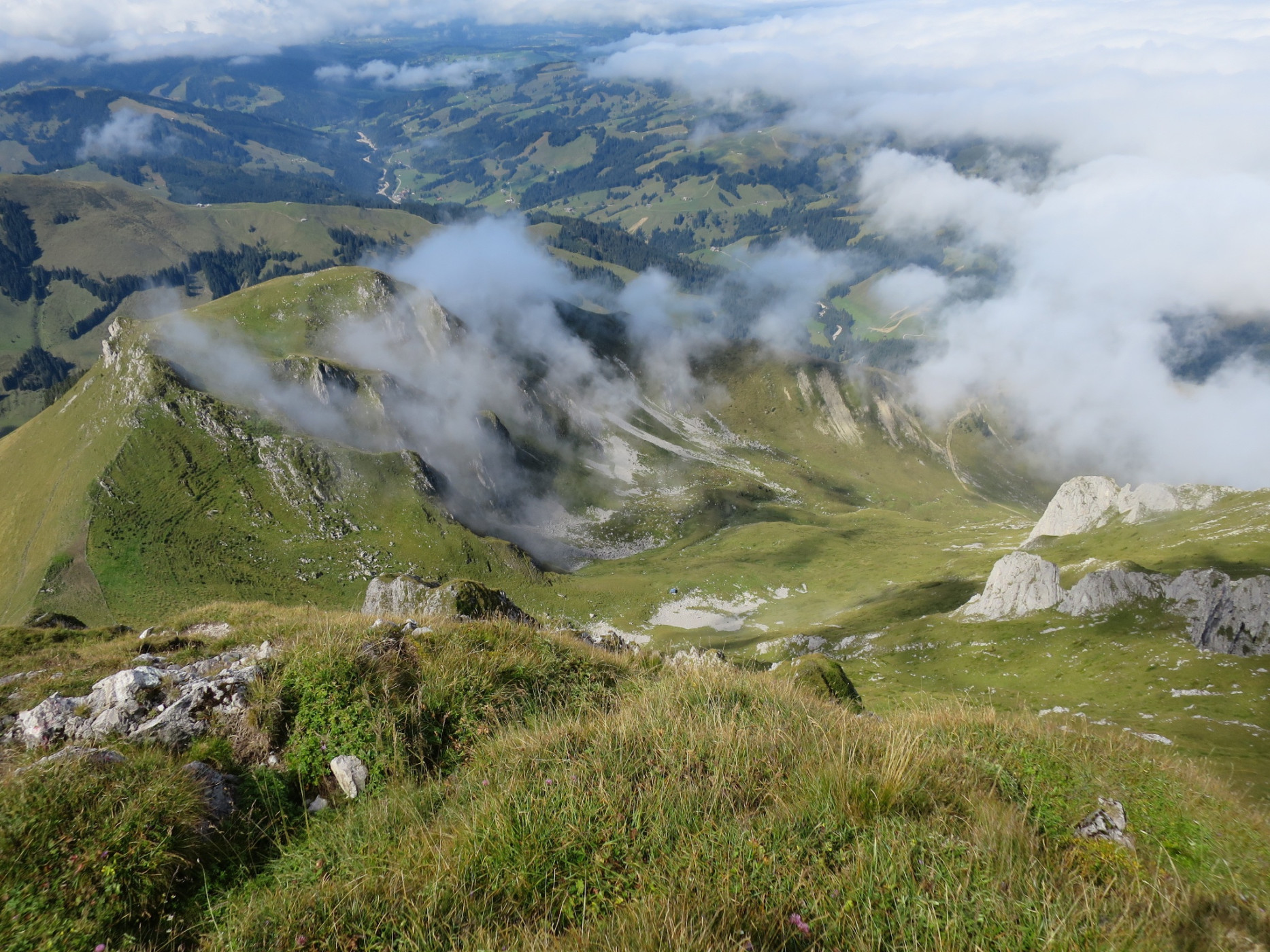
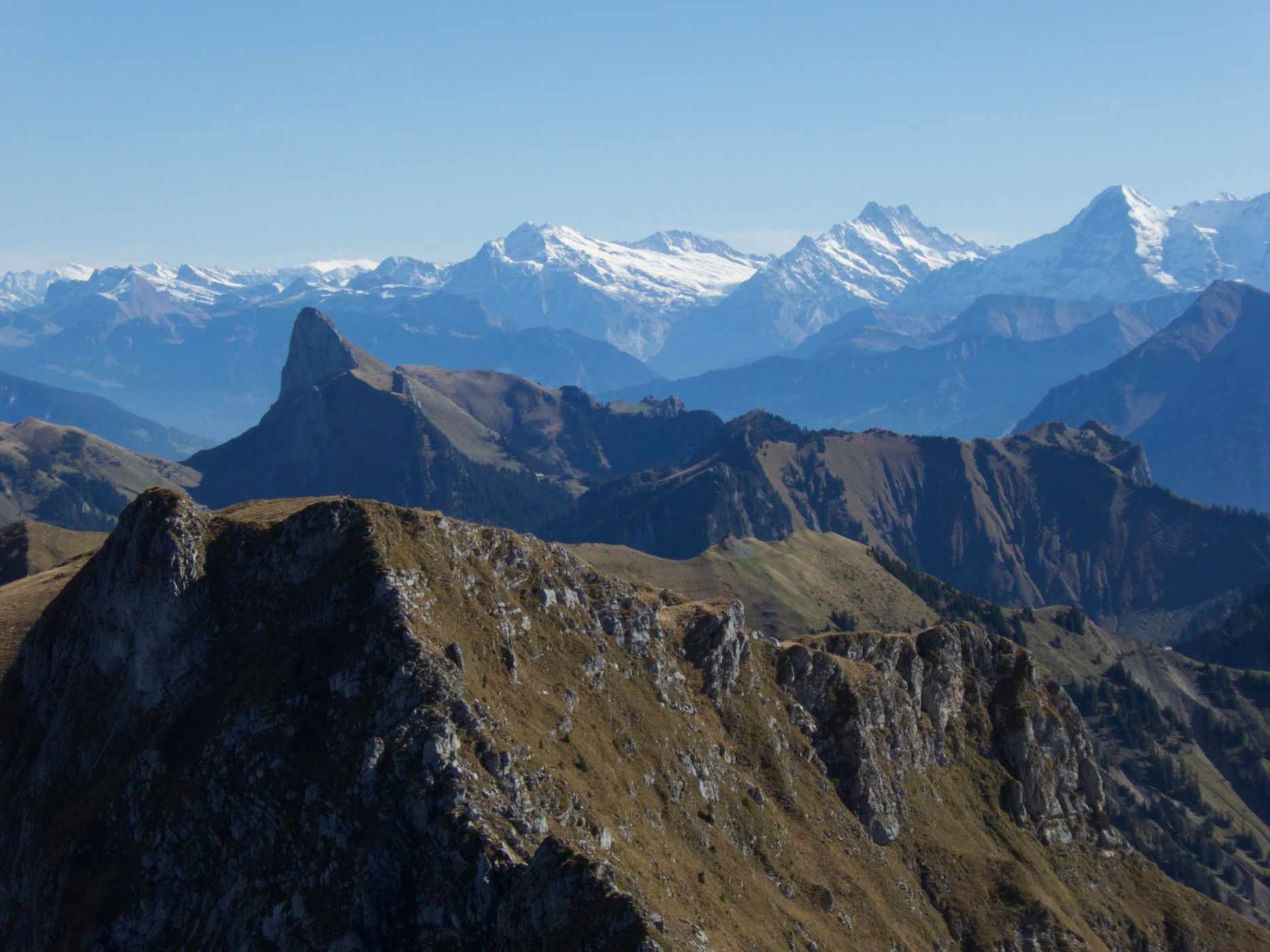
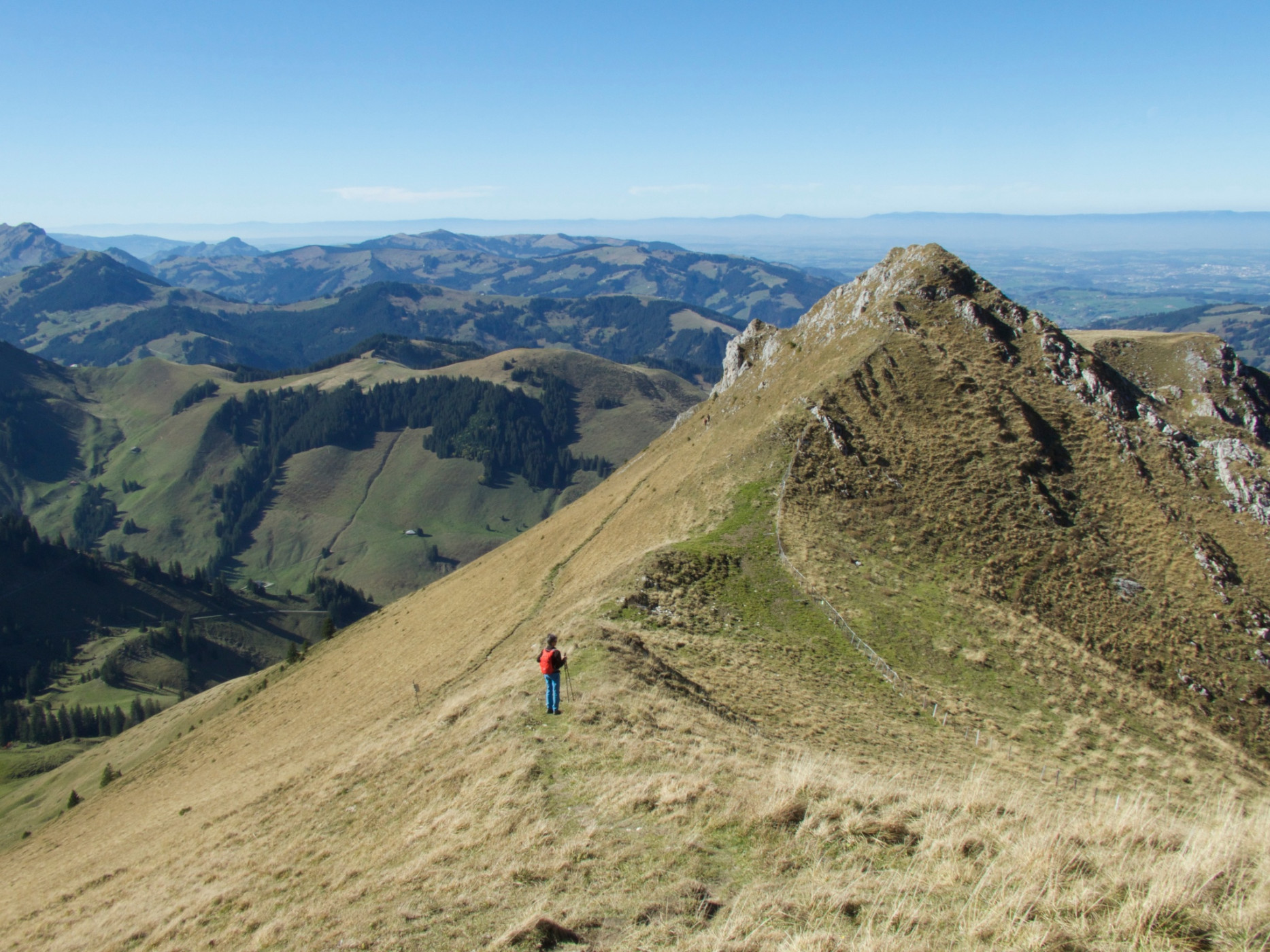
Passing the disused sulfur spring, you ascend to the Lauigrat, which you follow up to the saddle after Huerlisboden. The mountain path crosses the southwest flank towards Alpiglegalm. The view also opens up to the Oberland mountains. Via the south ridge, you finally reach the summit of Ochsen, which is quite exposed. The highest point of the Gantrisch Nature Park offers a magnificent panoramic view of the Gantrisch chain from Stockhorn to the Fribourg Alps and, of course, out onto the Central Plateau and towards the Oberland. With good weather, even Mont Blanc can be spotted. The descent takes place via the same route to the Schwefelbergbad Post bus station.
Route-information
Route-information
- Length
- 7.93 km
- Altitude difference ascent
- 803 m
- Altitude difference descent
- 803 m
- Time required
- 3 hours 25 minutes
- Level technique
- Easy
- Level condition
- Middle
Details
Route with Switzerland Mobility
Equipment / Equipment rent
Weather-appropriate hiking equipment
Arrival
Arrival
- Starting point
- Schwefelberg Bad
- Arrival by public transport
- Schwefelberg Bad Timetable SBB
- Destination
- Schwefelberg Bad
Suitable for
The offer is suitable for
- Adults
- 50+
Season
June, July, August, September, OctoberContact
Naturpark GantrischFörderverein Region Gantrisch
Schlossgasse 13
3150 Schwarzenburg
T +41 (0)31 808 00 20
www.gantrisch.ch