Landschaftspark Binntal
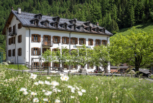
Hotel Ofenhorn
The hotel was built 125 years ago for English visitors - Winston Churchill also stayed in the Binn Valley in 1897.
RestaurantHotelCafé
Swiss Parks Network
Monbijoustrasse 61
CH-3007 Berne
Tel. +41 (0)31 381 10 71
Mob. +41 (0)76 525 49 44
info@parks.swiss
Landschaftspark Binntal -
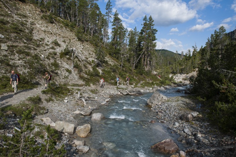
The hiking trail in the Binntal Valley offers a fascinating landscape and interesting sights. The starting point is Fäld, near the Imfeld restaurant. From there, the trail leads initially towards the mineral mine. Instead of following the Lengenbach road, you turn left at Figgerscha and continue the hike towards Binnaltini. The route continues at Freichi, where the path gradually ascends. The terrain soon becomes steeper, but the view is breathtaking, especially along the way to the Binntal Hut. Majestic stands the symbol of the Binntal Valley before you, the beautiful Ofenhorn, towering at 3235 meters high.
For the return journey, the descent is made back to Freichi along the same path. Then, a mountain road branches off to the right and leads to Brunnebiel. From there, follow the mountain road back to Fäld.
This hiking trail offers the opportunity to admire the beauty of nature in the Binntal Valley and to enjoy the impressive landscape.
If you're not out of breath when you arrive to the hut, you can reach the pass in 30 minutes - though even at the hut, you'll enjoy the beautiful view over the Bietschorn and the Nesthorn.
The hotel was built 125 years ago for English visitors - Winston Churchill also stayed in the Binn Valley in 1897.
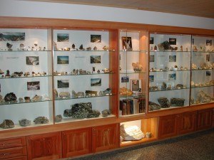
Mineral museum owned by the crystal searcher André Gorsatt in the hamlet of Fäld at the mineral shop.
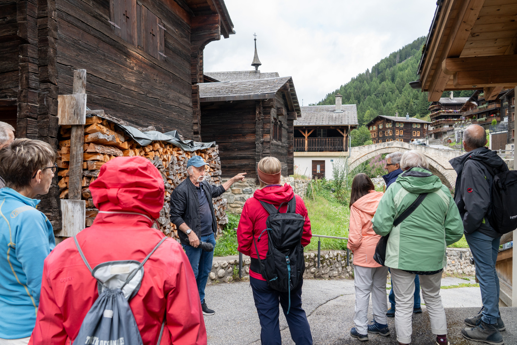
Restaurant - Inn - Events - this triumvirate in the middle of the most remote permanently inhabited Walser settlement im Fäld in the valley of Binn (about 20 minutes with the car from Ernen).
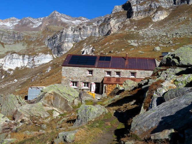
The SAC Binntalhütte is situated at an altitude of 2275 m, 20 minutes from the Italian border. The hut has 50 places (dormitory), is open all year round and from June to September the hut is the guarded.