

Gantrisch Summit Hike, 2176 m elevation
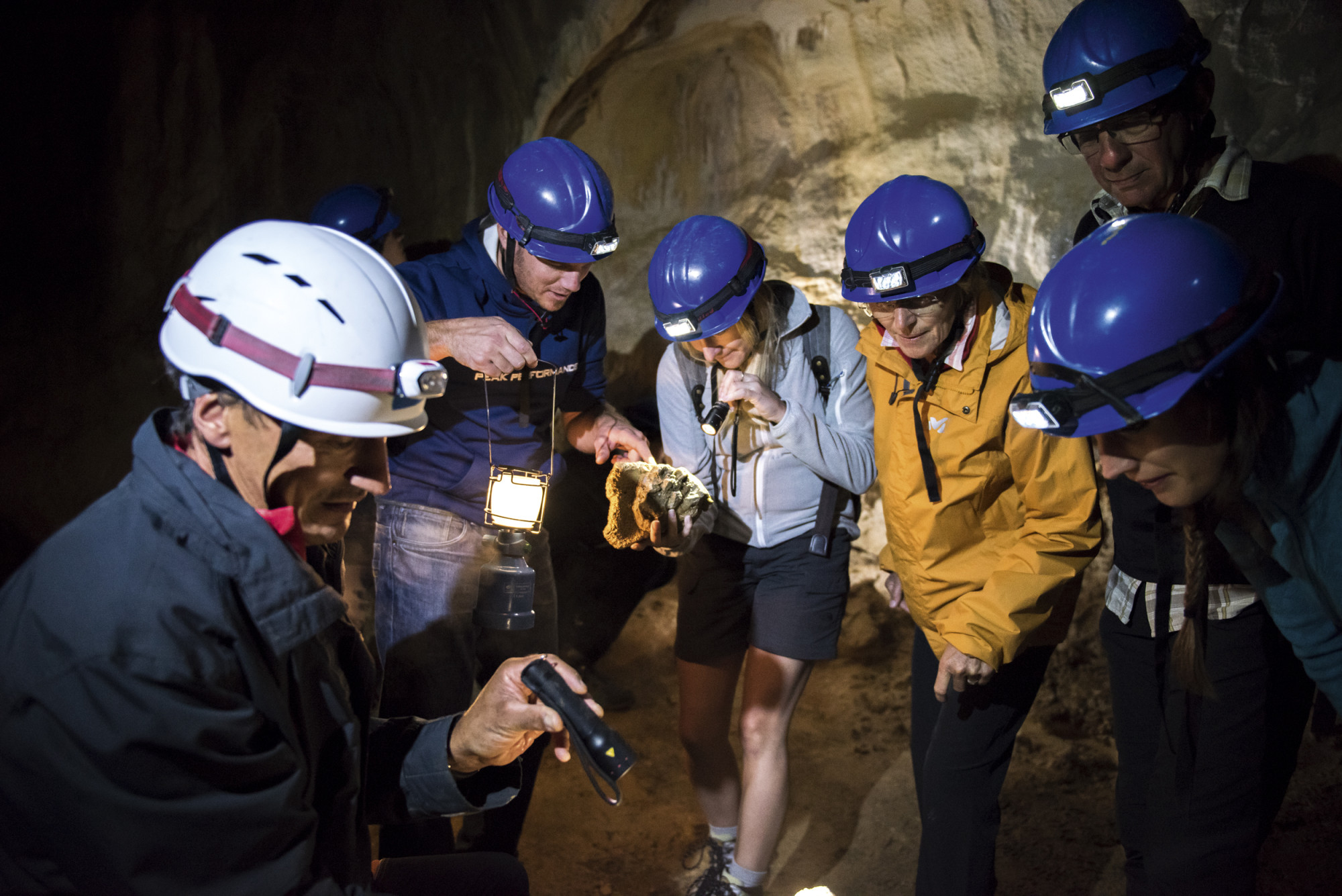
Naturpark Gantrisch - The Gantrisch is not only beautiful to look at in pictures, but the hike also offers a lot – wonderful views, varied landscapes, and challenging sections.
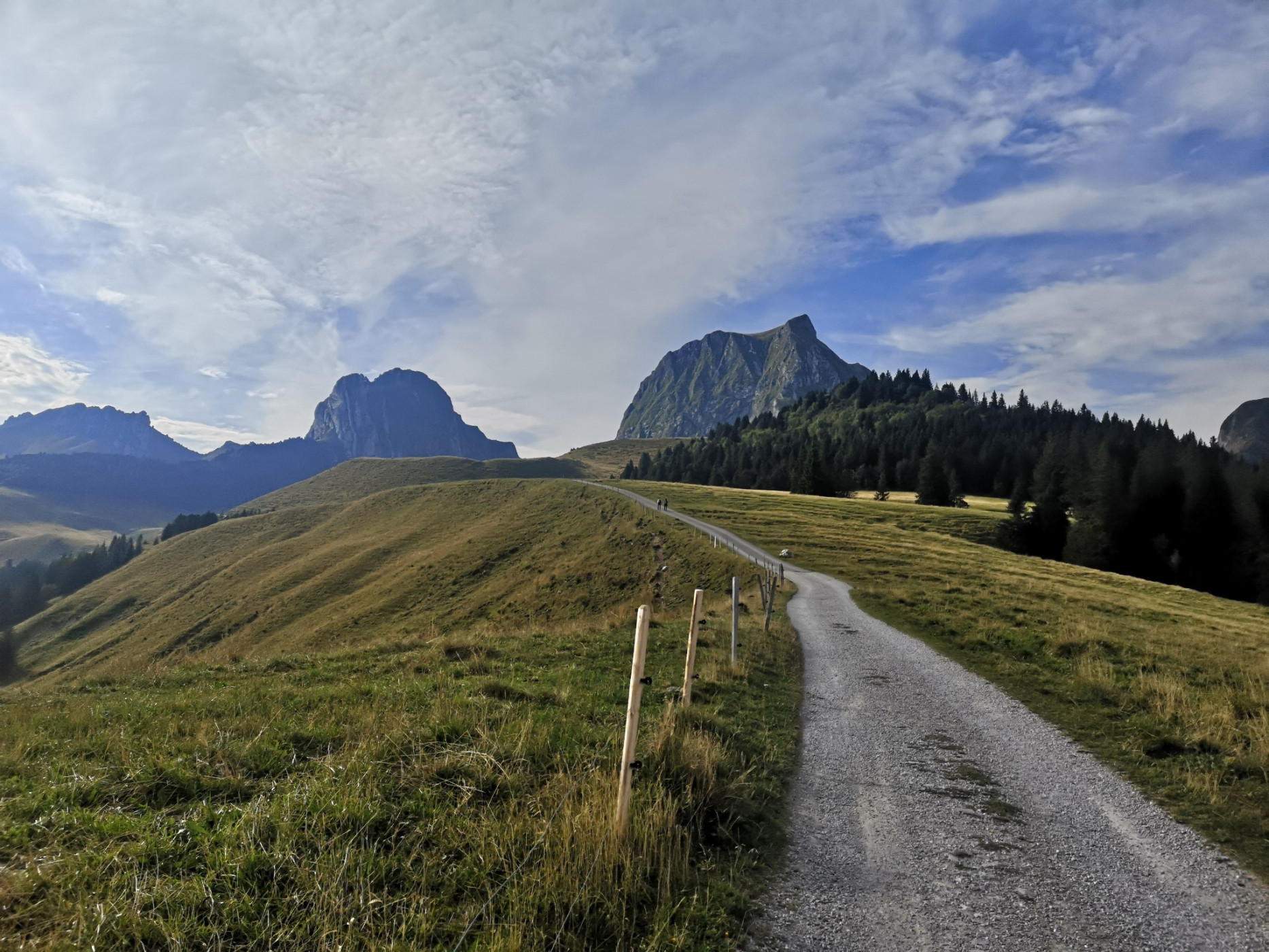
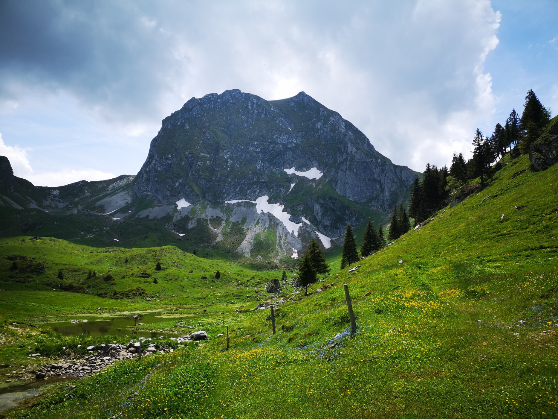
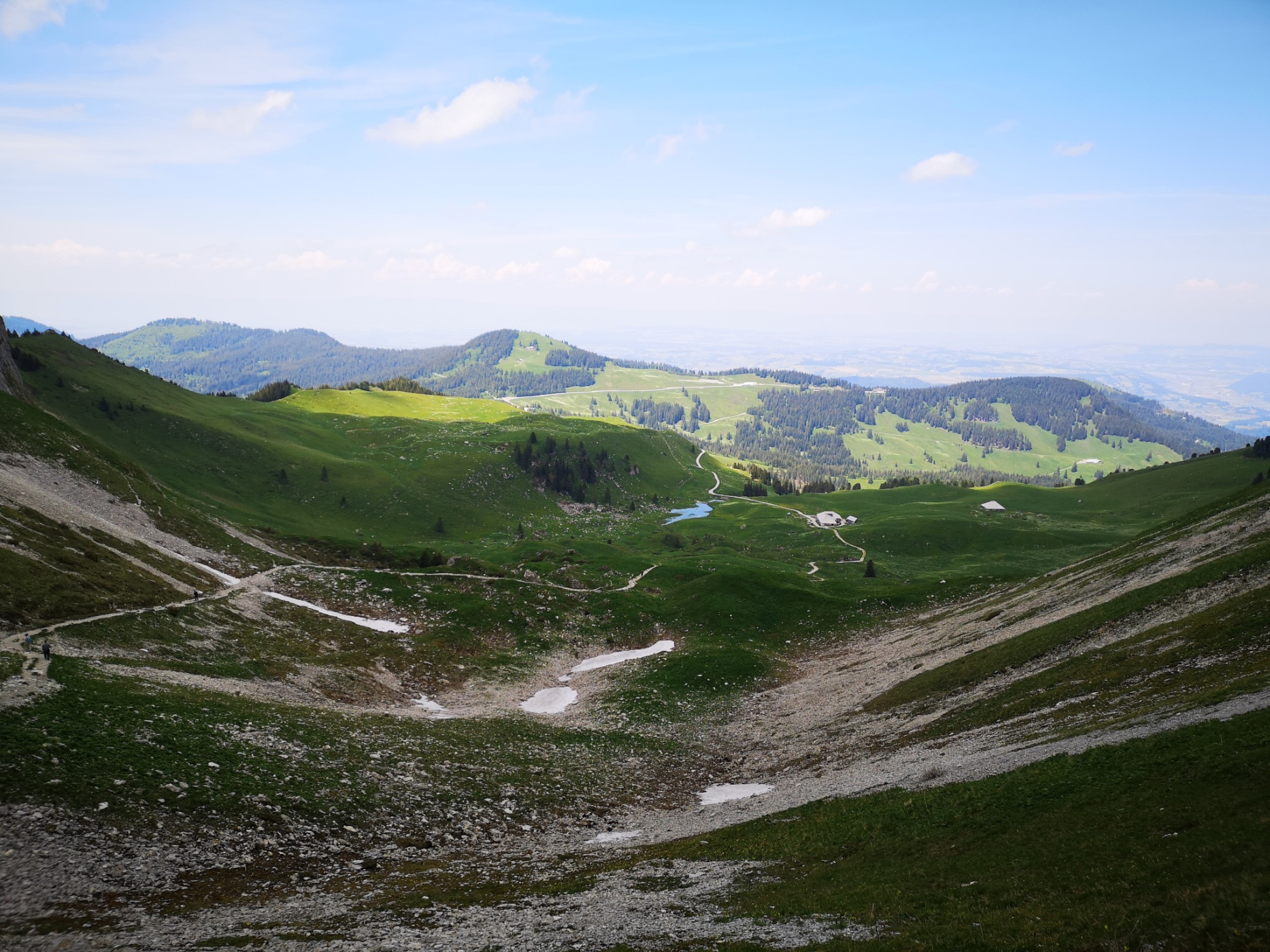
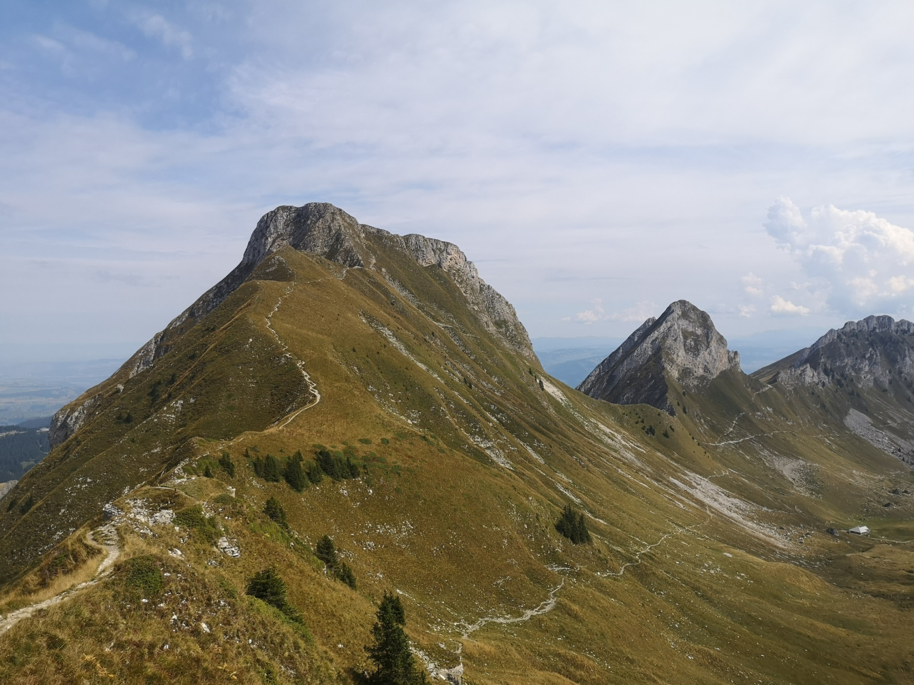
The Gantrisch hike starts at the Gurnigel watershed. Even when lacing up your hiking boots, a breathtaking view of the Gantrisch opens up. Accompanied by a view of the Chueberg, the hiking trail leads up towards the Leiterepass. At the Obernünenen alpine hut, you can stop for the last time before the steep climb. After regaining strength, the trail leads up to the Leiterepass. Once at the top, the hiking trail runs along the foot of the Gantrisch towards the west. Along the ridge, the final meters are covered before a short rocky section, partially secured with a handrail, leads to the summit. The steep mountain path through the southern slope of the Gantrisch requires surefootedness and some experience in mountain hiking.
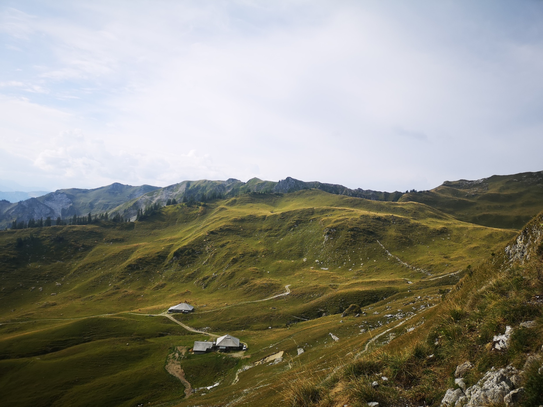
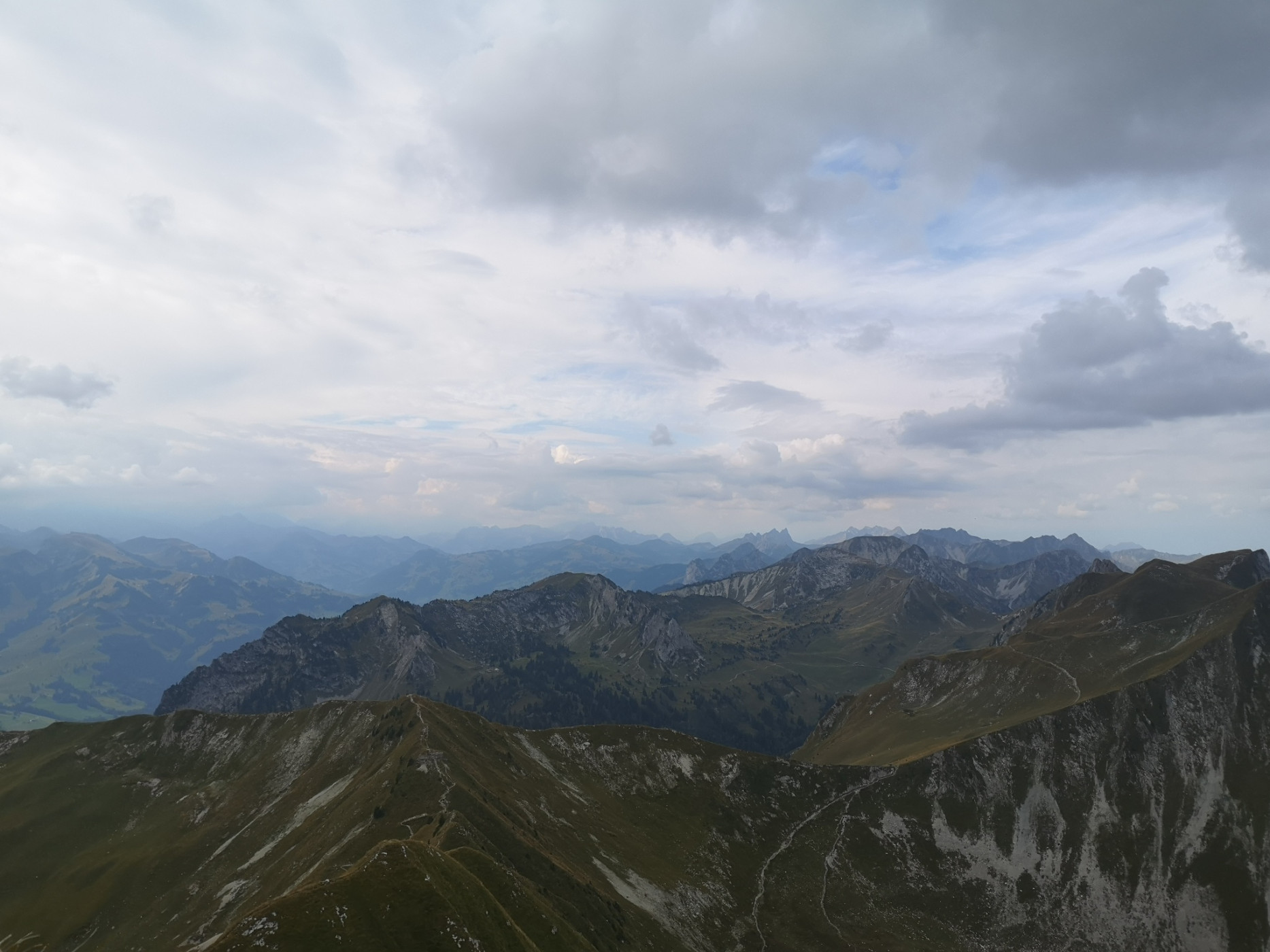
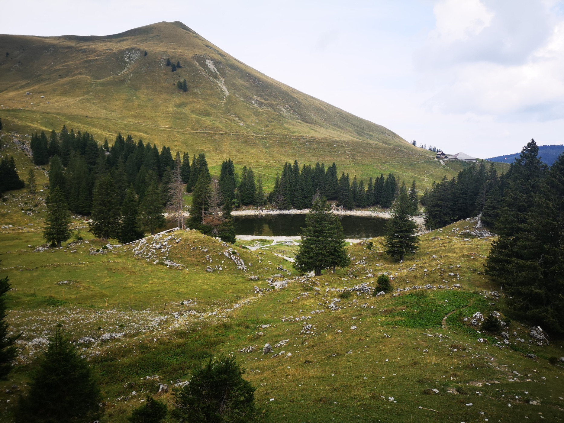
After thoroughly enjoying the 360° view, the path down to the Schibespitz will be the same as the ascent. From there, it goes down to the Morgetenpass and back to the valley towards the lower Gantrisch hut. Along the way, a short detour to the well-known Gantrischseeli is worthwhile.
Route-information
Route-information
- Length
- 9.14 km
- Altitude difference ascent
- 666 m
- Altitude difference descent
- 745 m
- Time required
- 3 hours 30 minutes
- Level technique
- Easy
- Level condition
- Middle
Details
Route with Schweiz Mobil
Equipment / Equipment rent
Weather-appropriate hiking gear
Arrival
Arrival
- Starting point
- Gurnigel, Wasserscheide
- Destination
- Gurnigel, Gantrischhütte
Suitable for
The offer is suitable for
- Adults
- 50+
Season
Mai, June, July, August, September, OctoberContact
Naturpark GantrischFörderverein Region Gantrisch
Schlossgasse 13
3150 Schwarzenburg
T +41 (0)31 808 00 20
www.gantrisch.ch