


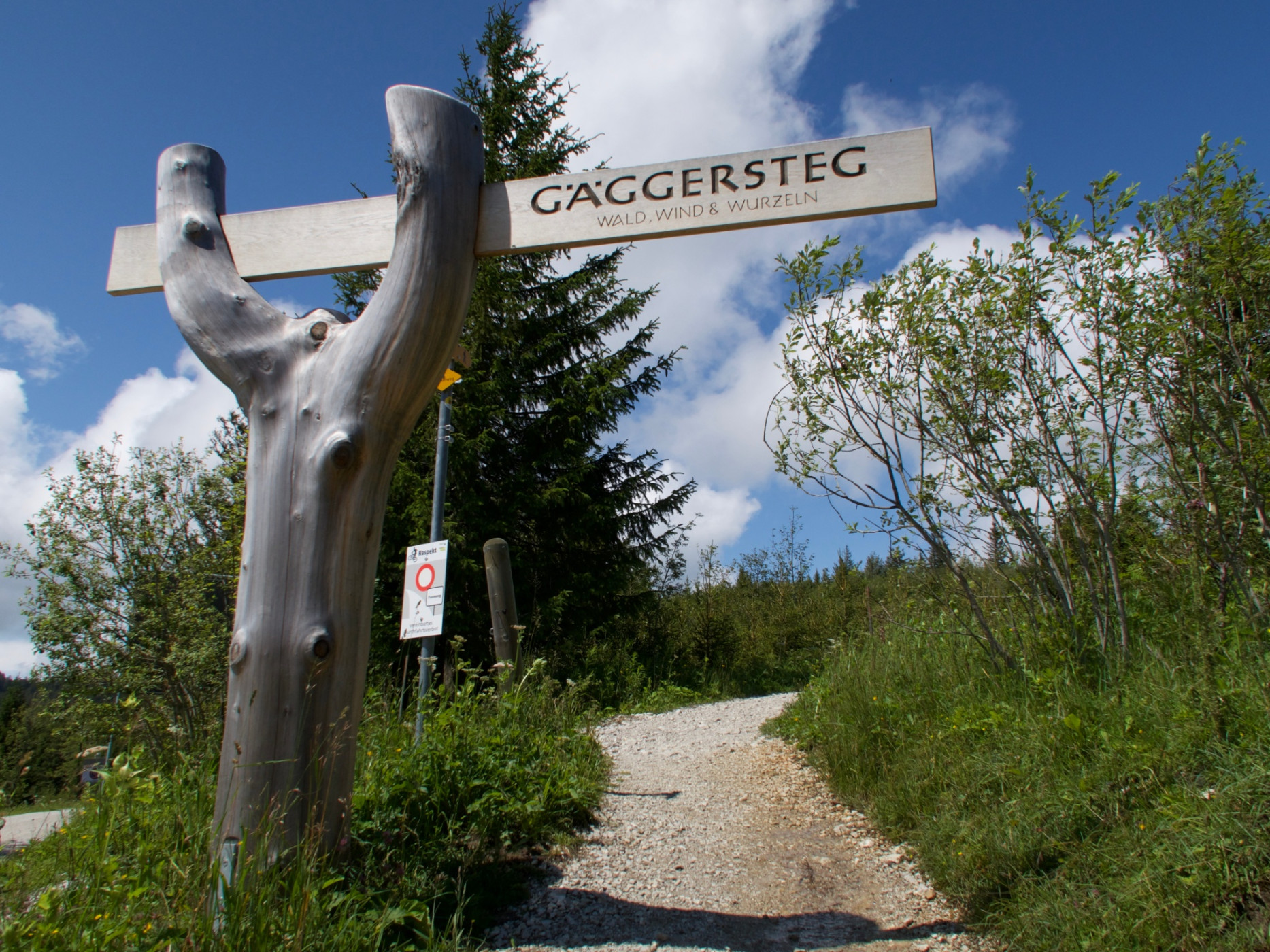
Gantrisch Panorama route with Gäggersteg (Switzerland Mobility 379)
Naturpark Gantrisch - The Gantrisch Panorama route offers beautiful views of the Prealps and the Jura chain. The high-altitude hike follows well-developed and signposted hiking trails. A highlight is the Gäggersteg!
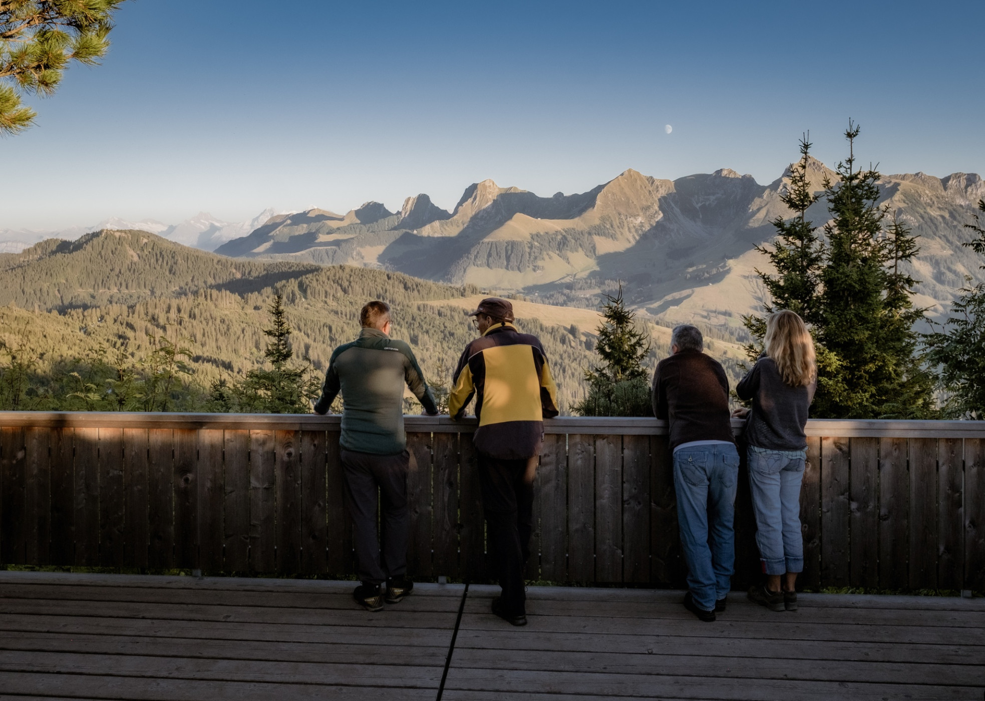
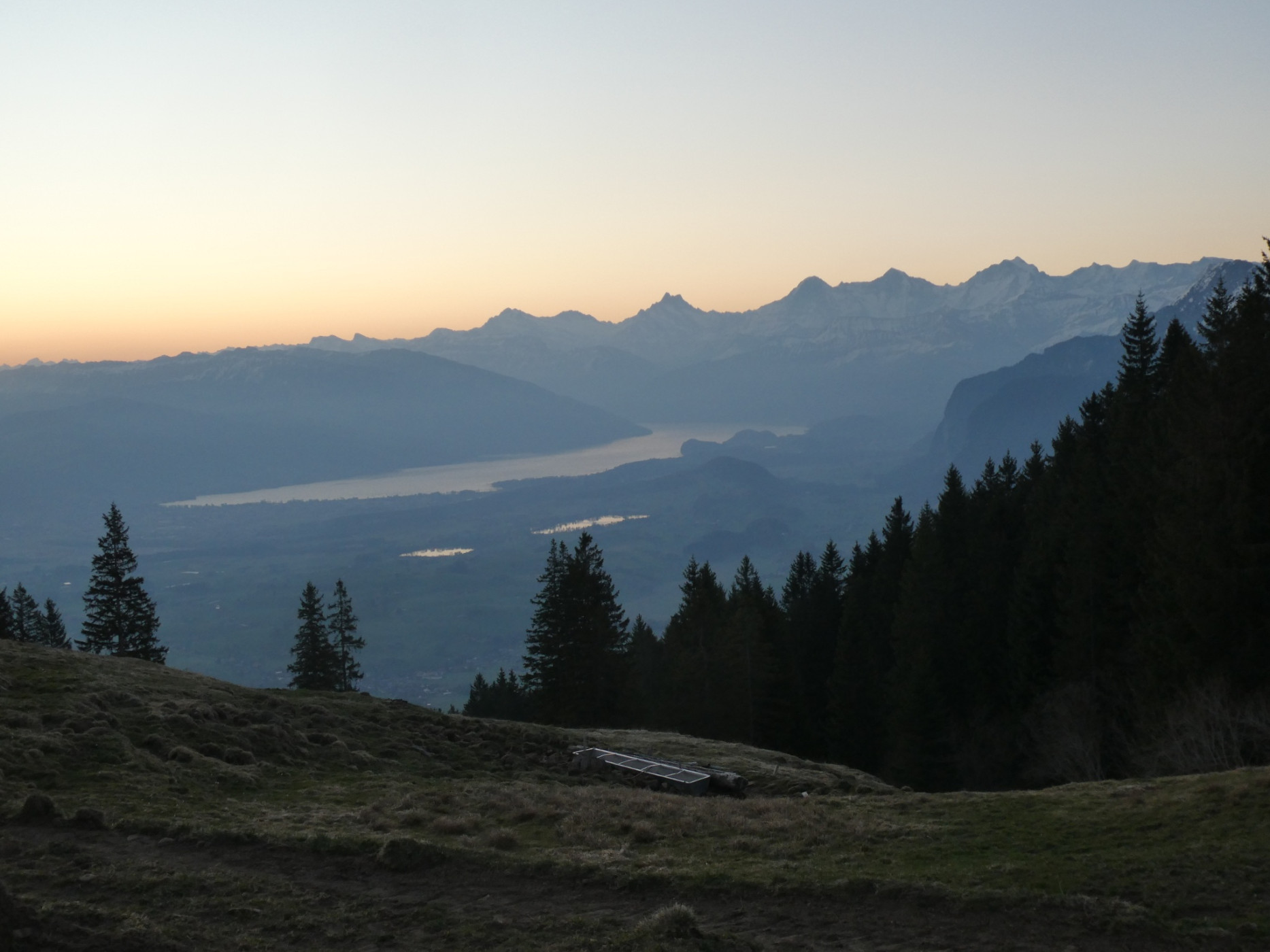
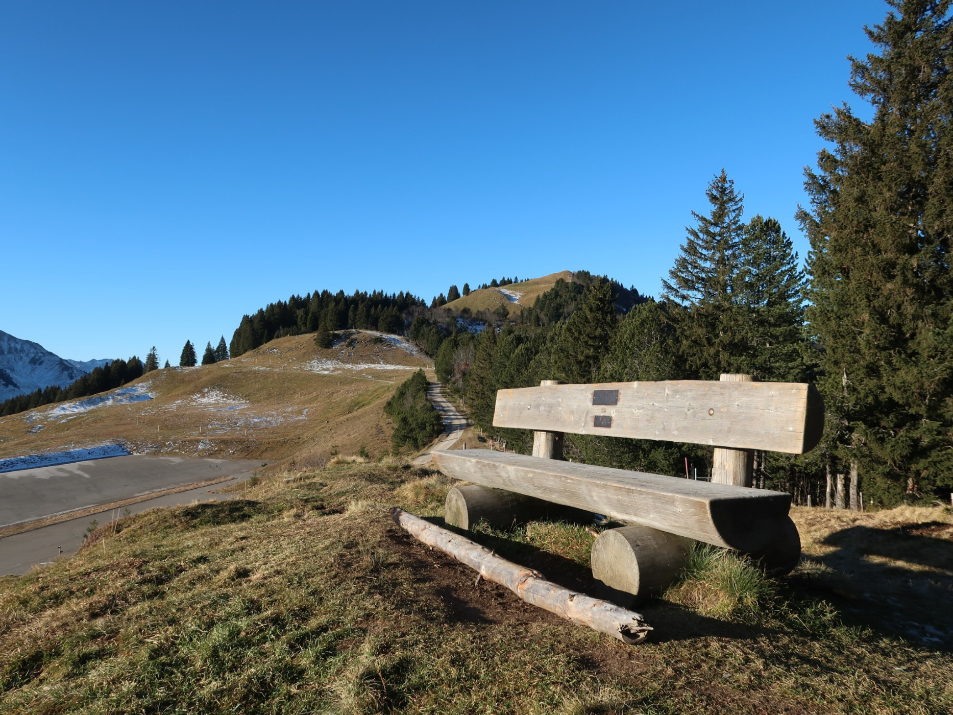
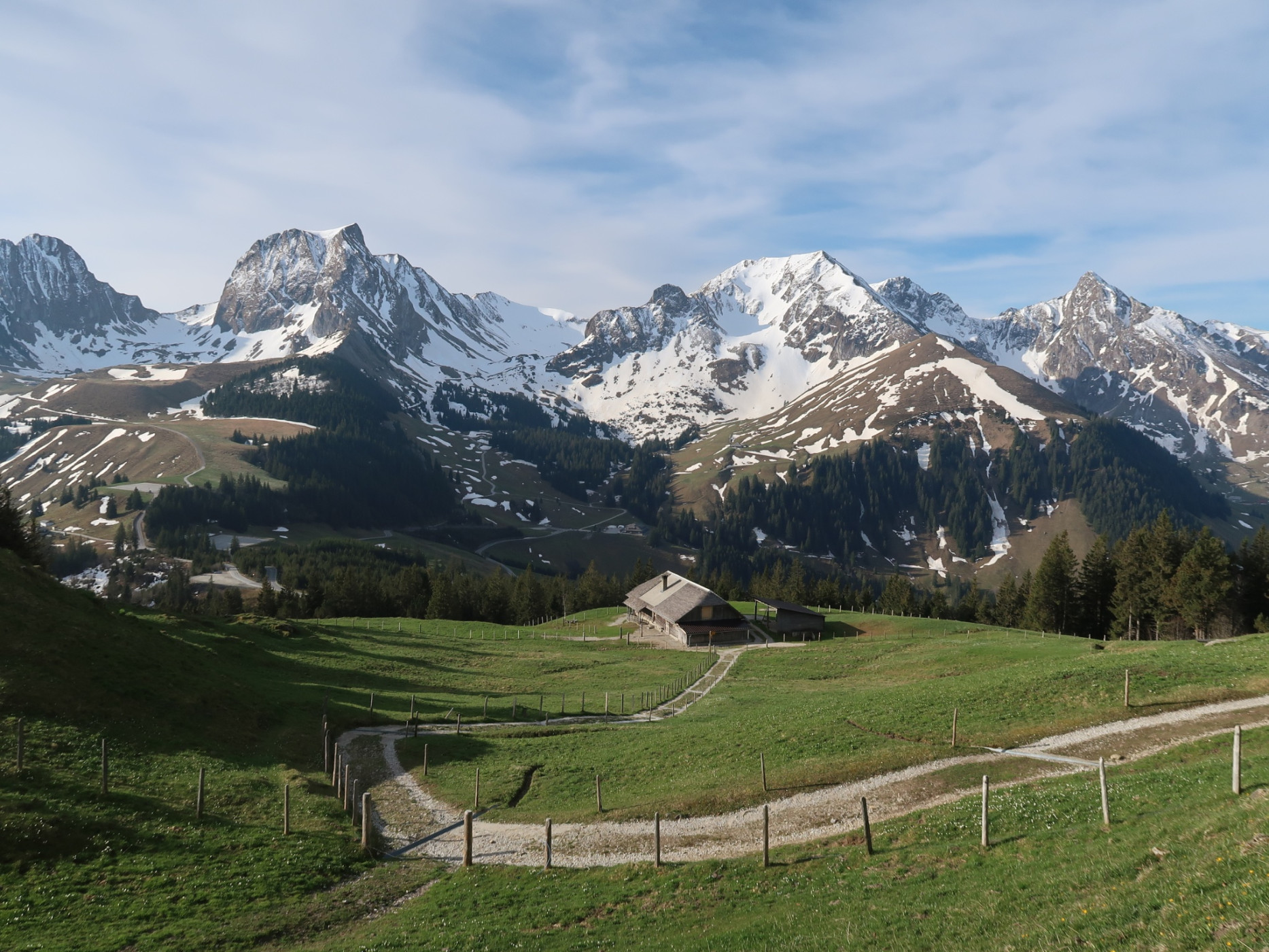
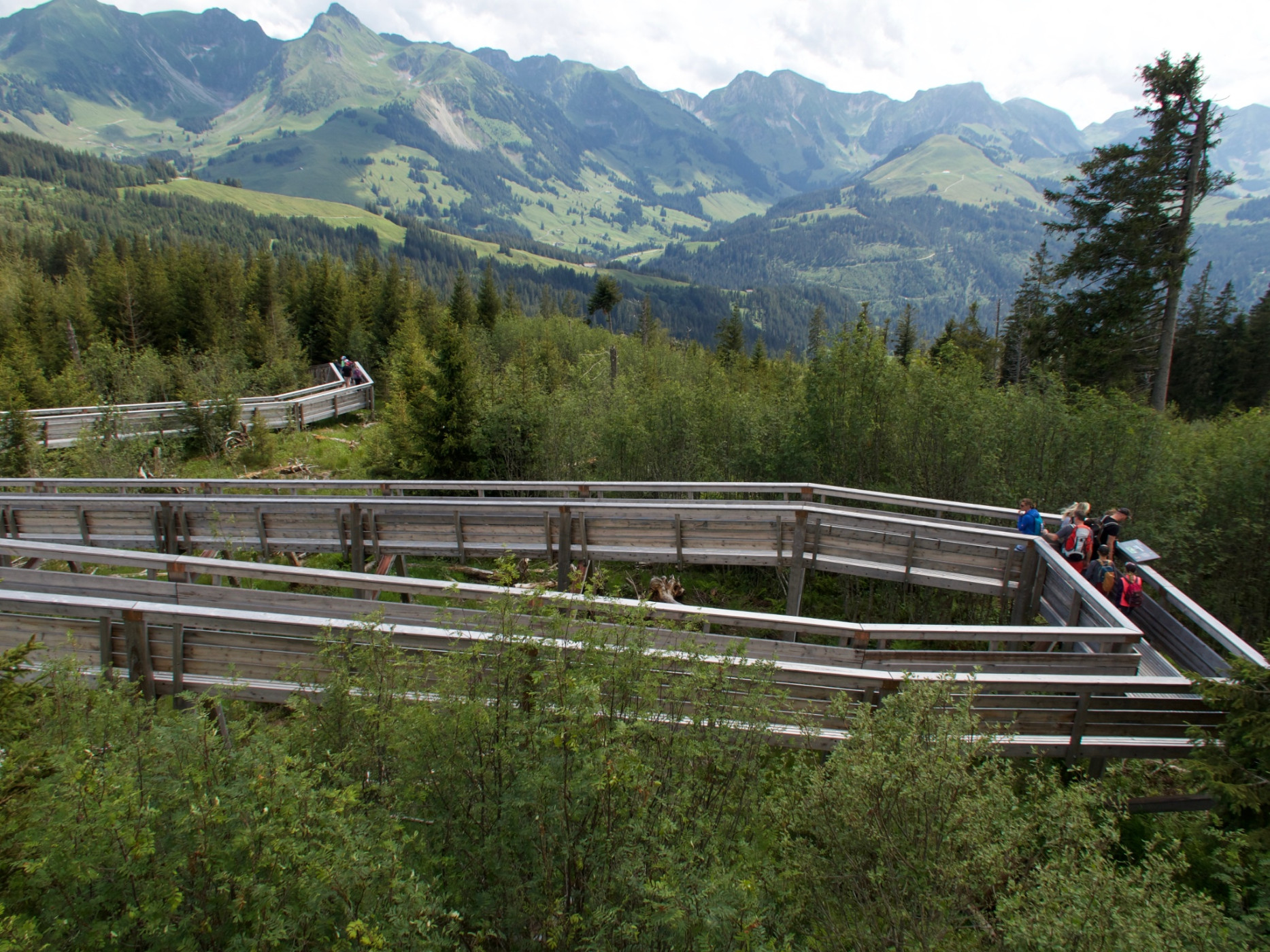
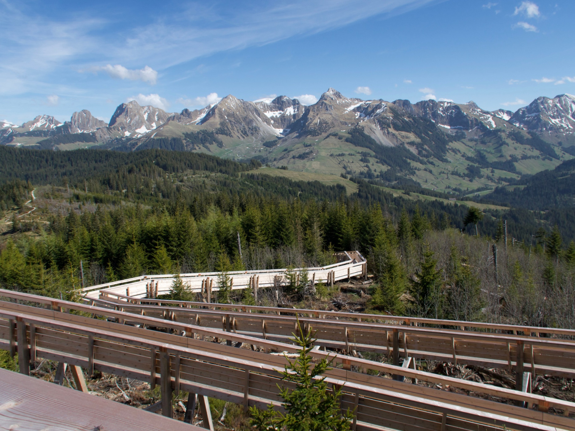
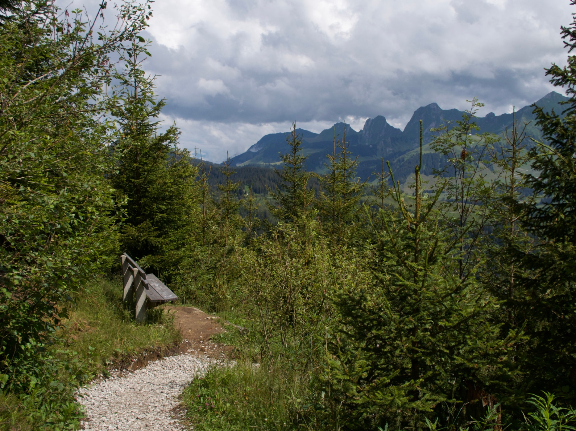
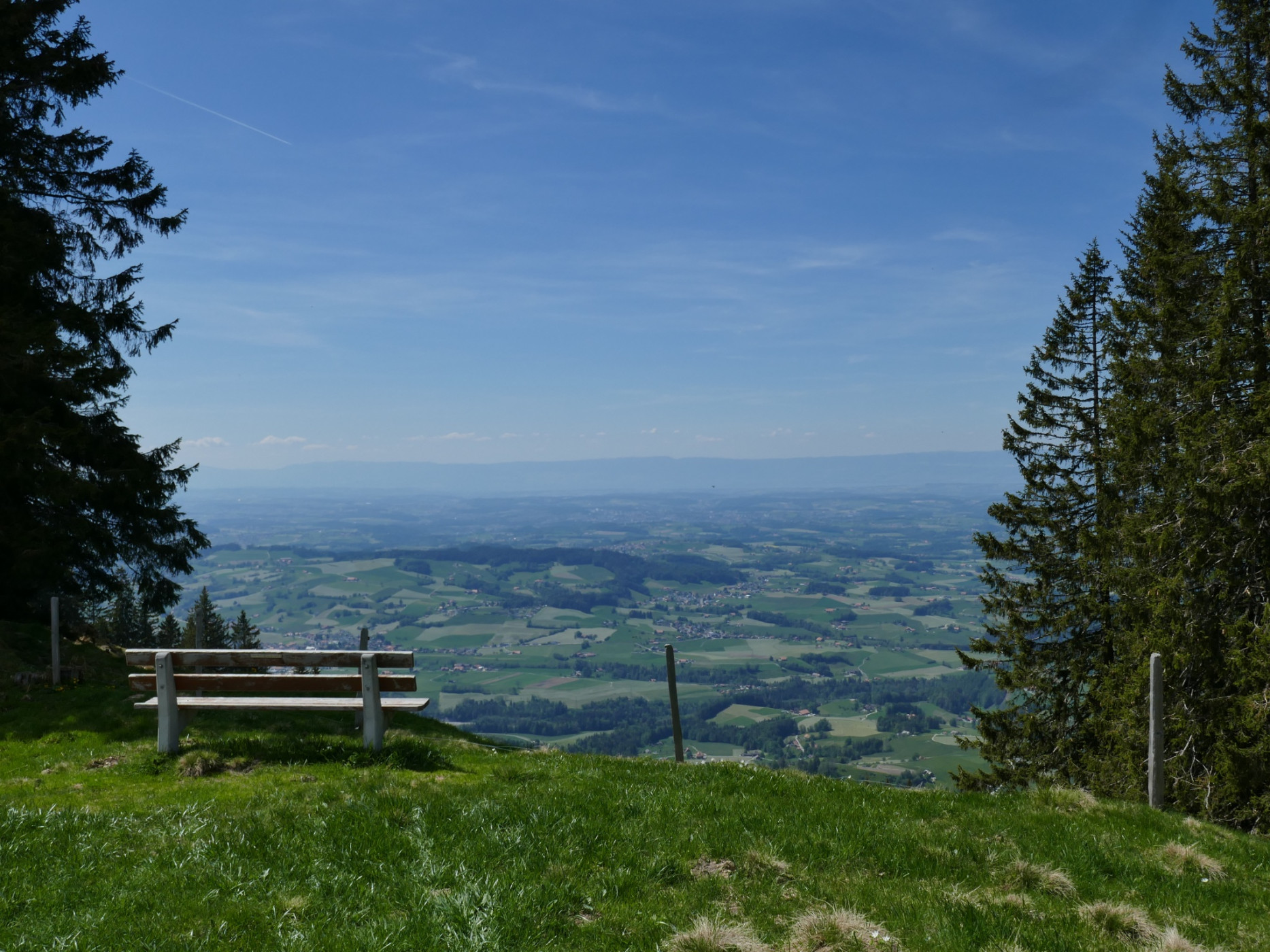
The 22-kilometer-long Gantrisch Panorama route definitely lives up to its name. To the south, the peaks of the Gantrisch range, including Nüneneflue, Gantrisch, Bürgle, and Ochse, are within easy reach, while snow-covered Alpine peaks can be seen further away. To the north, the view stretches over the Schwarzenburg region and the Bernese Midlands to Lake Biel and the Jura. On clear days, the view reaches as far as the Feldberg in the Black Forest and the Titlis and Pilatus mountains.
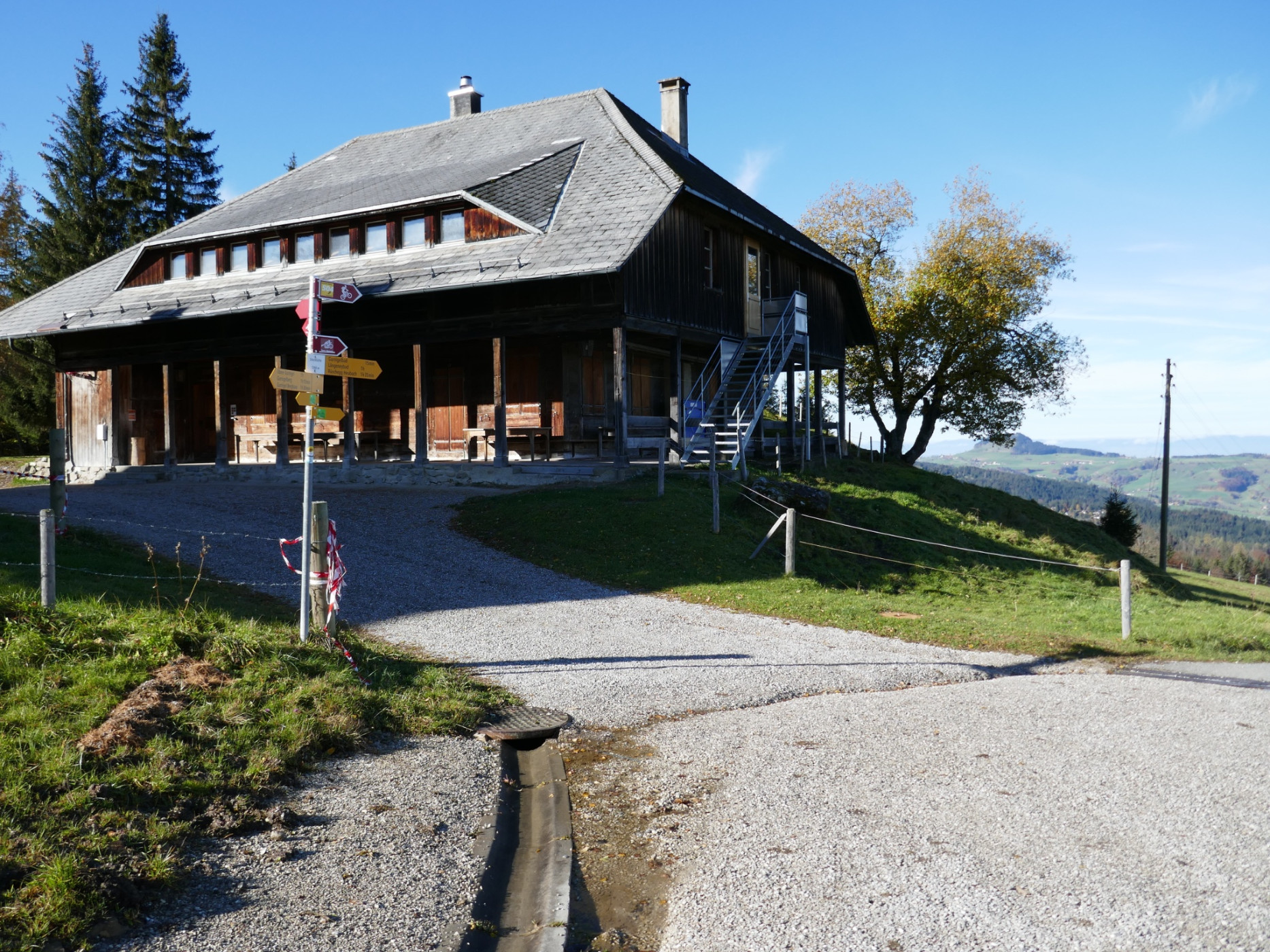
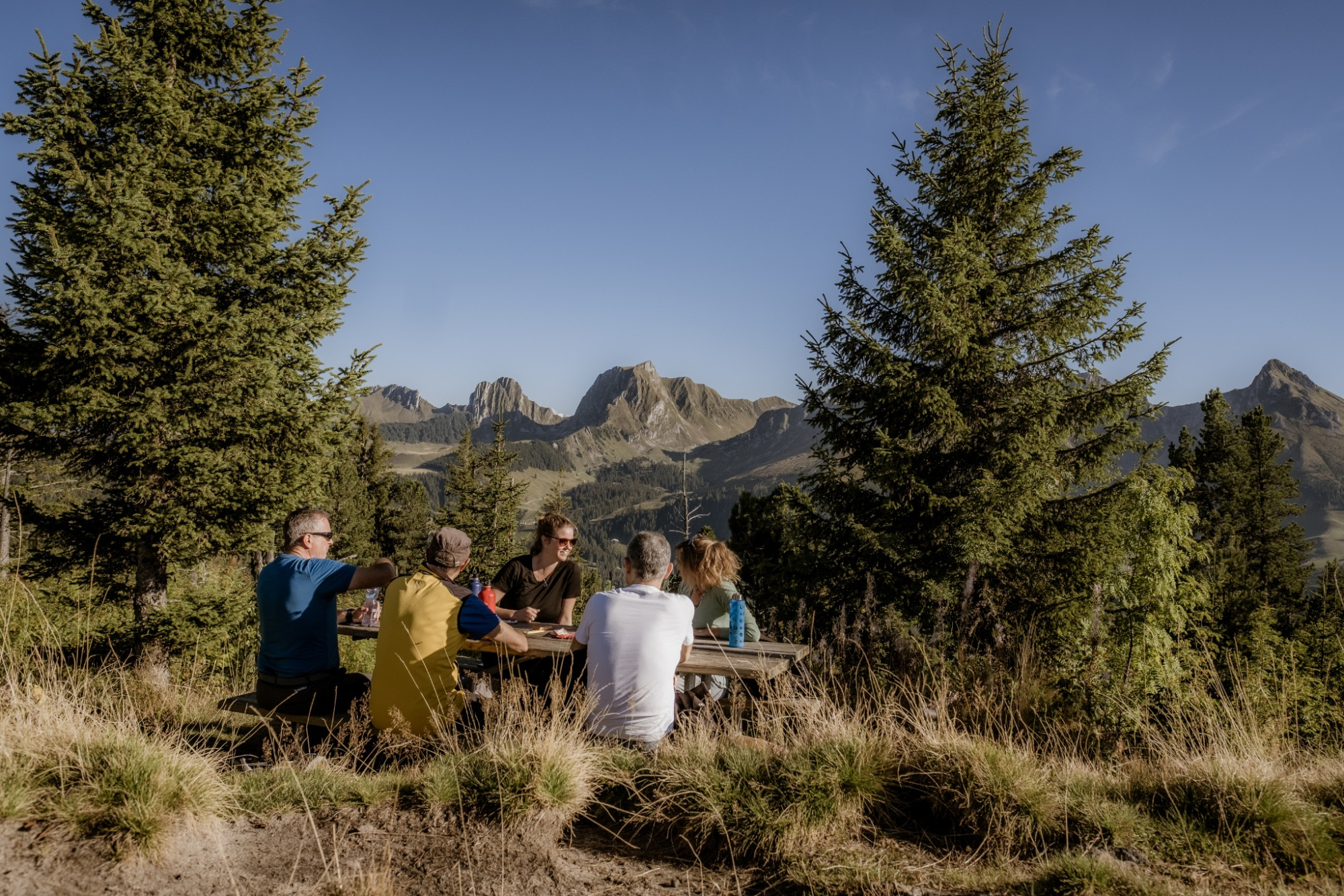
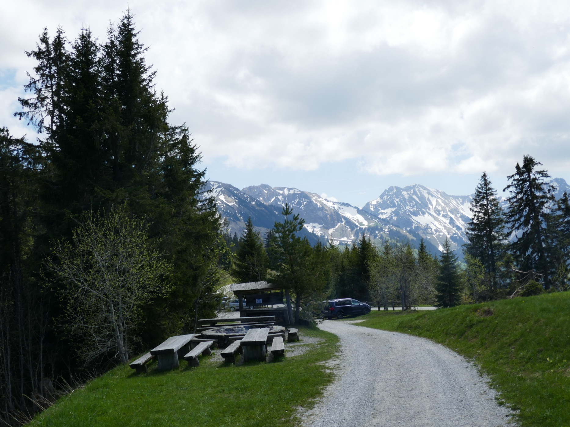
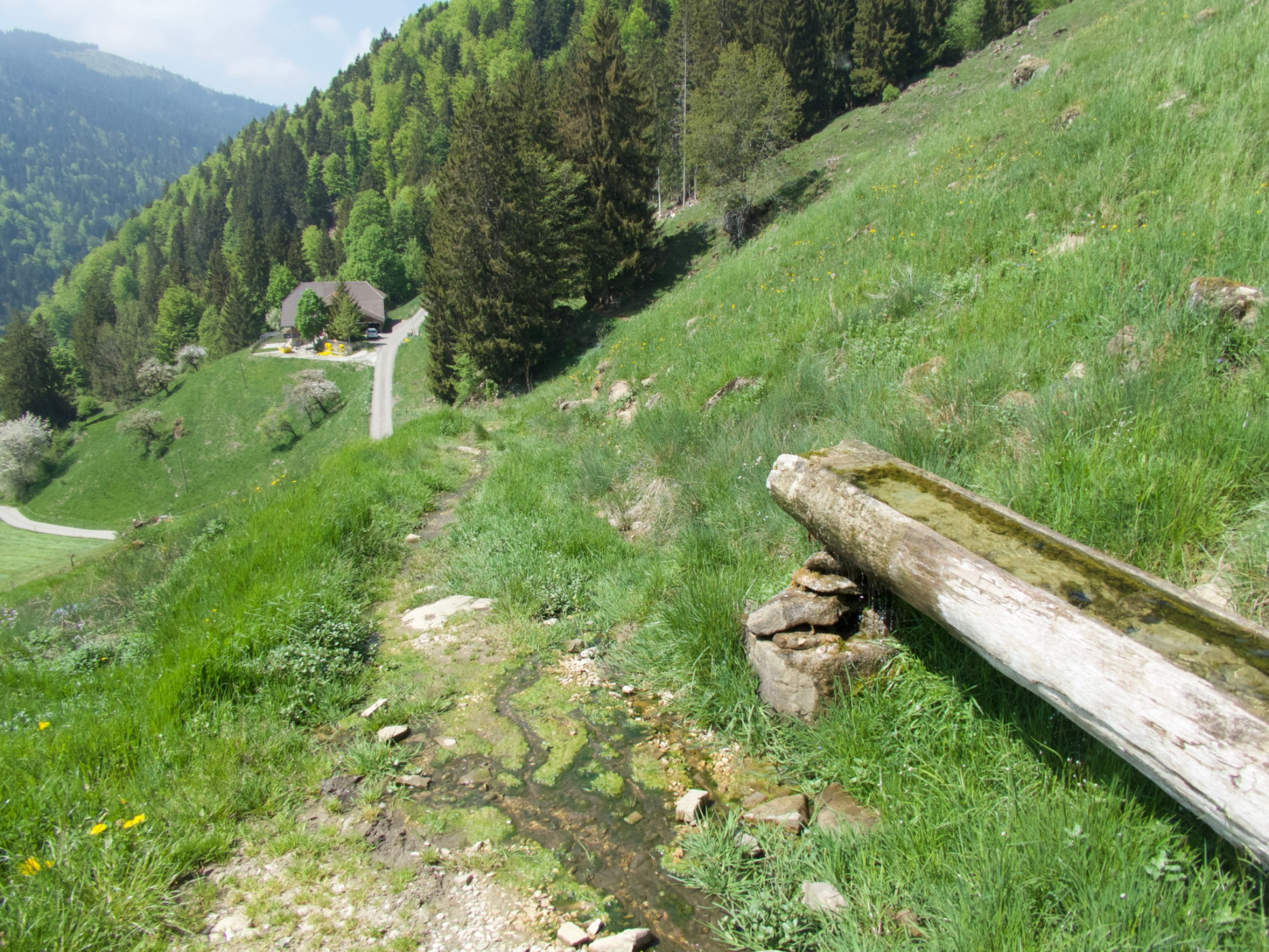
The hike can be started at Zollhaus or Gurnigelbad. The well-maintained trail can be walked in both directions. If the route is too long at once, stages can also be completed. Entry and exit options are available at the Gäggersteg (Rüschegg Schwarzenbühl, Kurhaus), Säftene (hiking bus stop), or at Gurnigel Berghaus (Gurnigel, Berghaus).
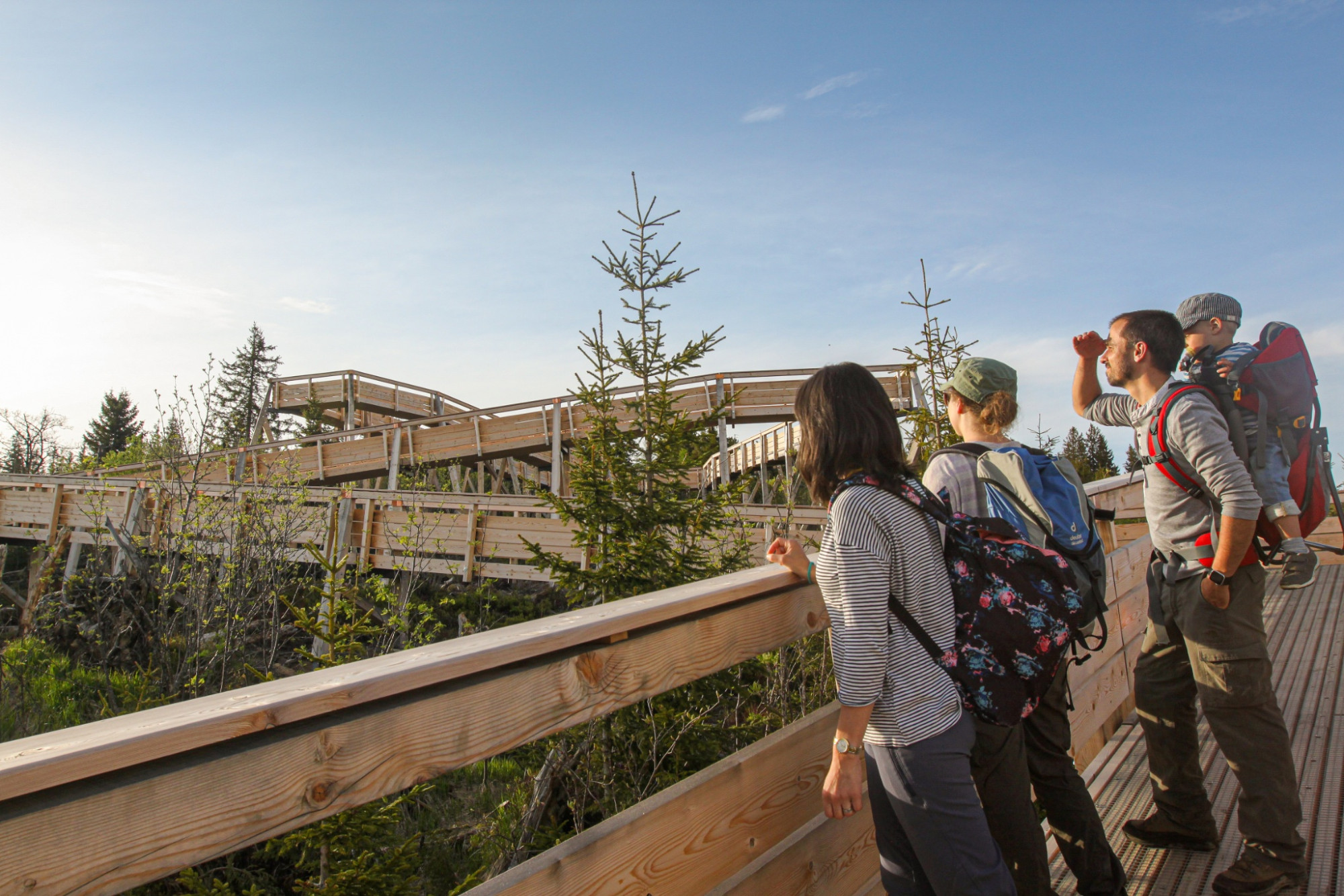
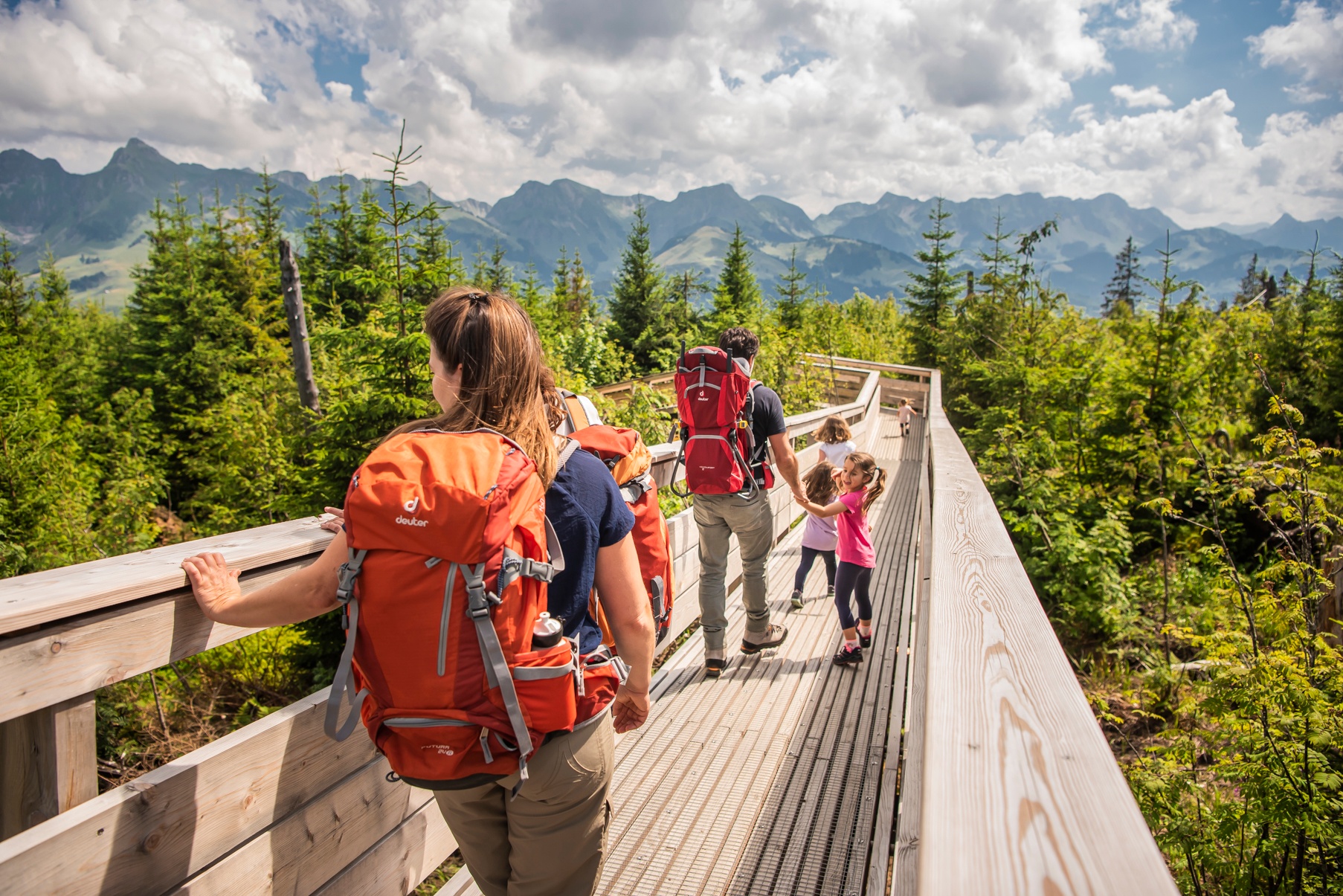
The family highlight on the route will definitely be the Gäggersteg. The wooden high bridge leads over the dead wood on the Pfyffe and offers insight into self-generating nature.
Route-information
Route-information
- Length
- 21.10 km
- Altitude difference ascent
- 802 m
- Altitude difference descent
- 1079 m
- Time required
- 6 hours 55 minutes
- Level technique
- Middle
- Level condition
- Hard
Details
Equipment / Equipment rent
Normal hiking equipment
Arrival
Arrival
- Starting point
- Gurnigel, Bad
- Destination
- Zollhaus
Suitable for
The offer is suitable for
- Adults
- Children < 6 years
- Children from 7-12 years
- Children >12 years
- 50+
- Families
- Groups


Season
Mai, June, July, August, September, OctoberContact
Naturpark GantrischFörderverein Region Gantrisch
Schlossgasse 13
3150 Schwarzenburg
T +41 (0)31 808 00 20
www.gantrisch.ch