

2 Panorama Gravel Route: Thun - Schwarzsee
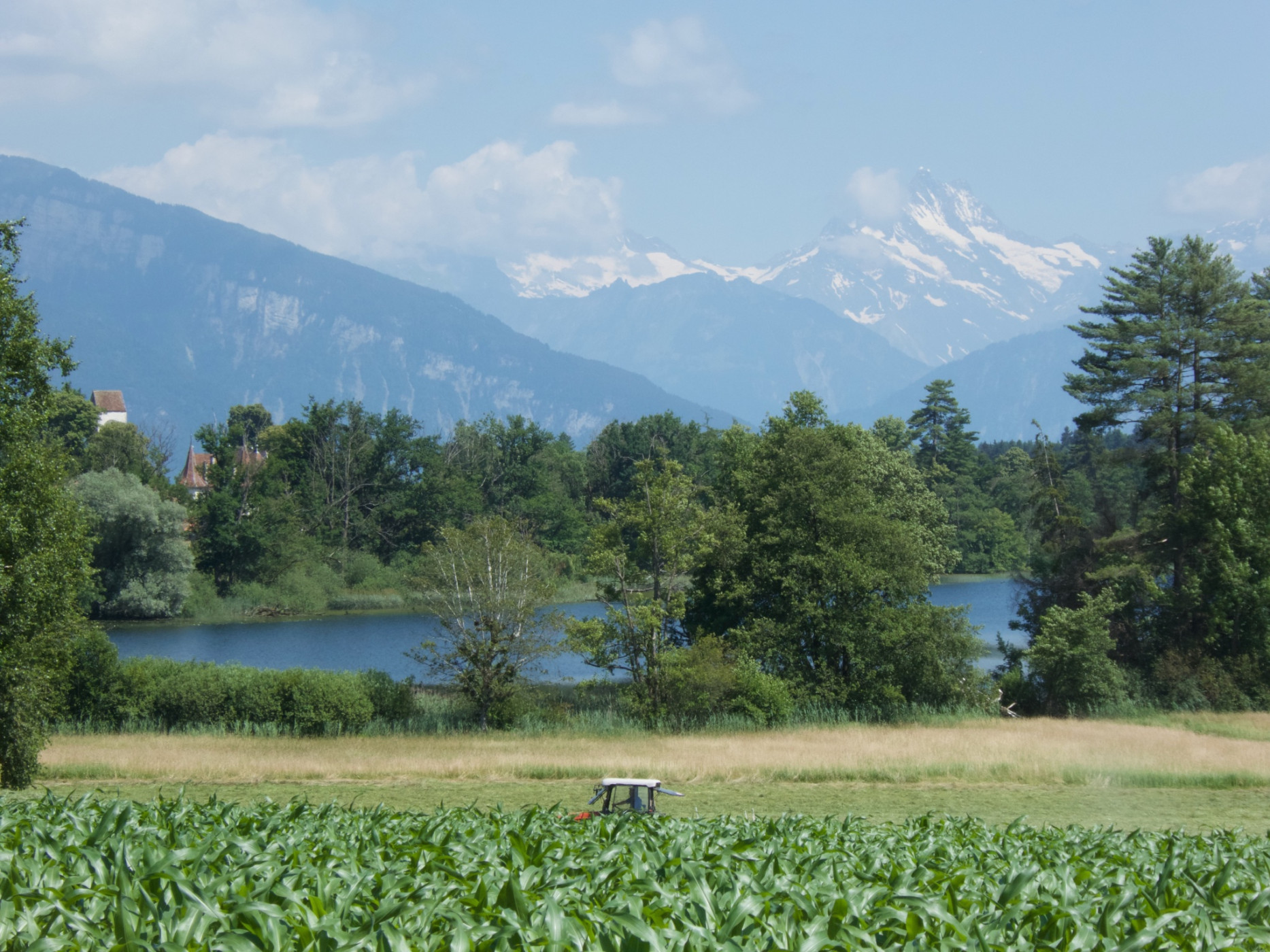
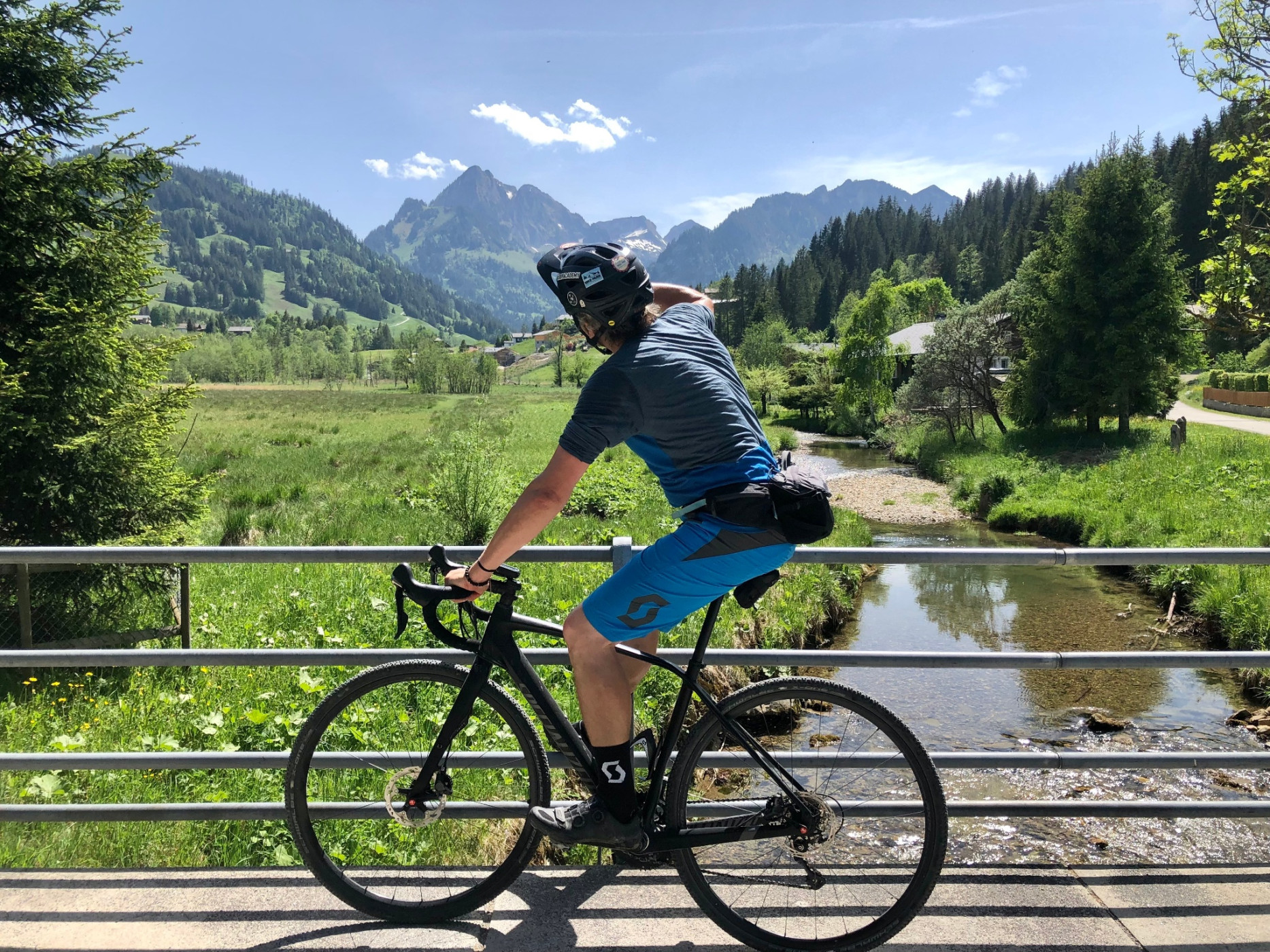
Naturpark Gantrisch - The gravel route leads from Thun to the Gurnigel Pass and then continues towards Schwarzsee. The route runs along side roads and mostly on forest and gravel paths. The Bernese Alps and the Pre-Alpine range from Stockhorn to Kaiseregg are always in view. In Schwarzsee, a refreshing dip in the lake awaits.
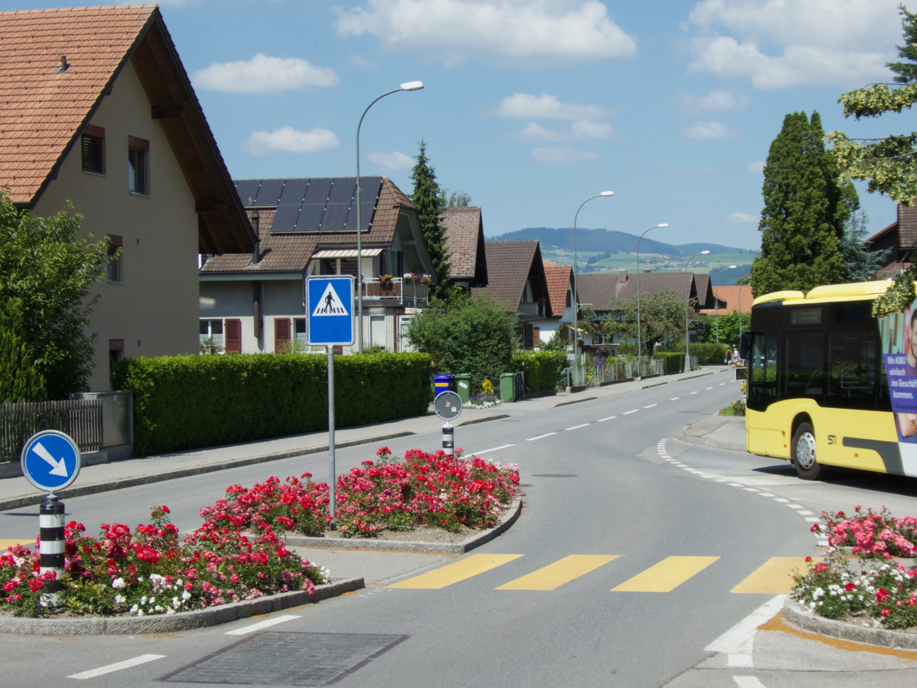
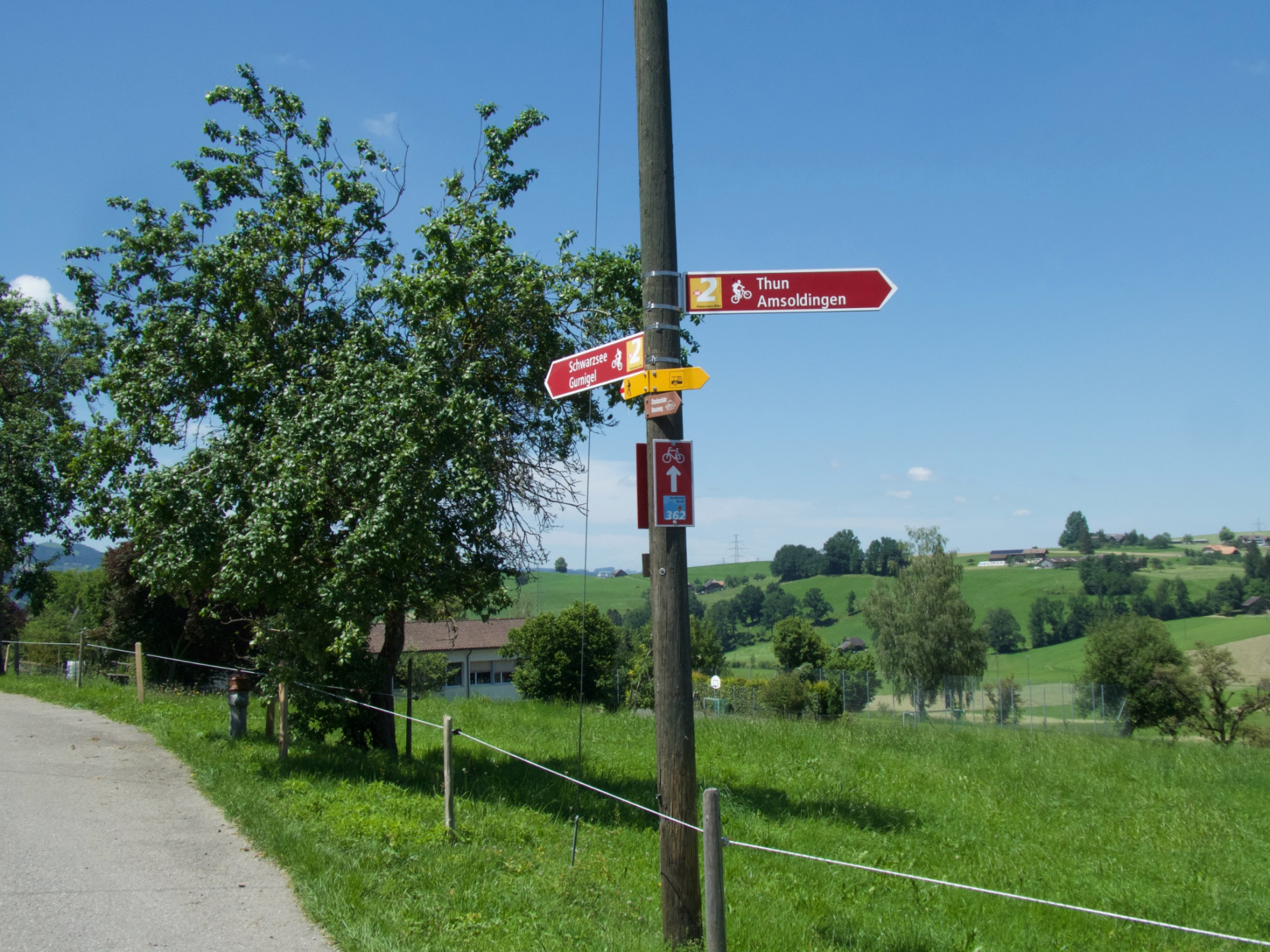
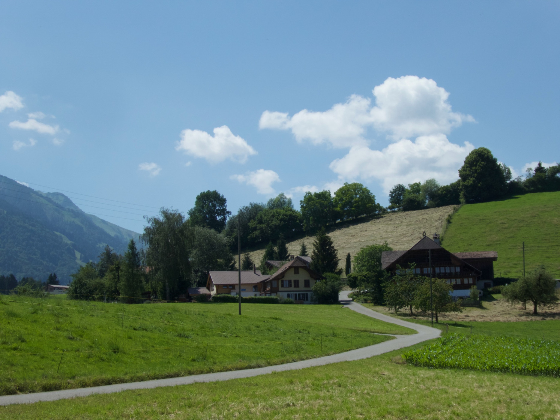
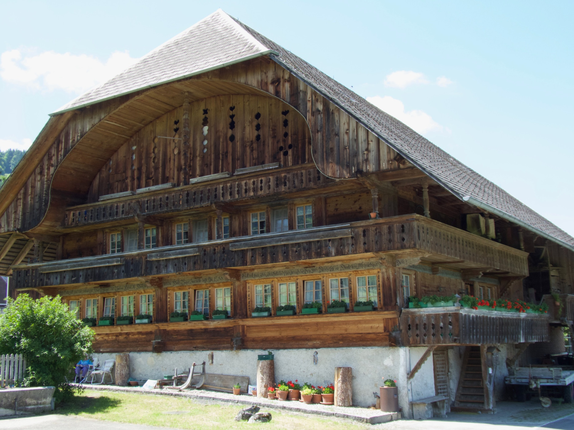
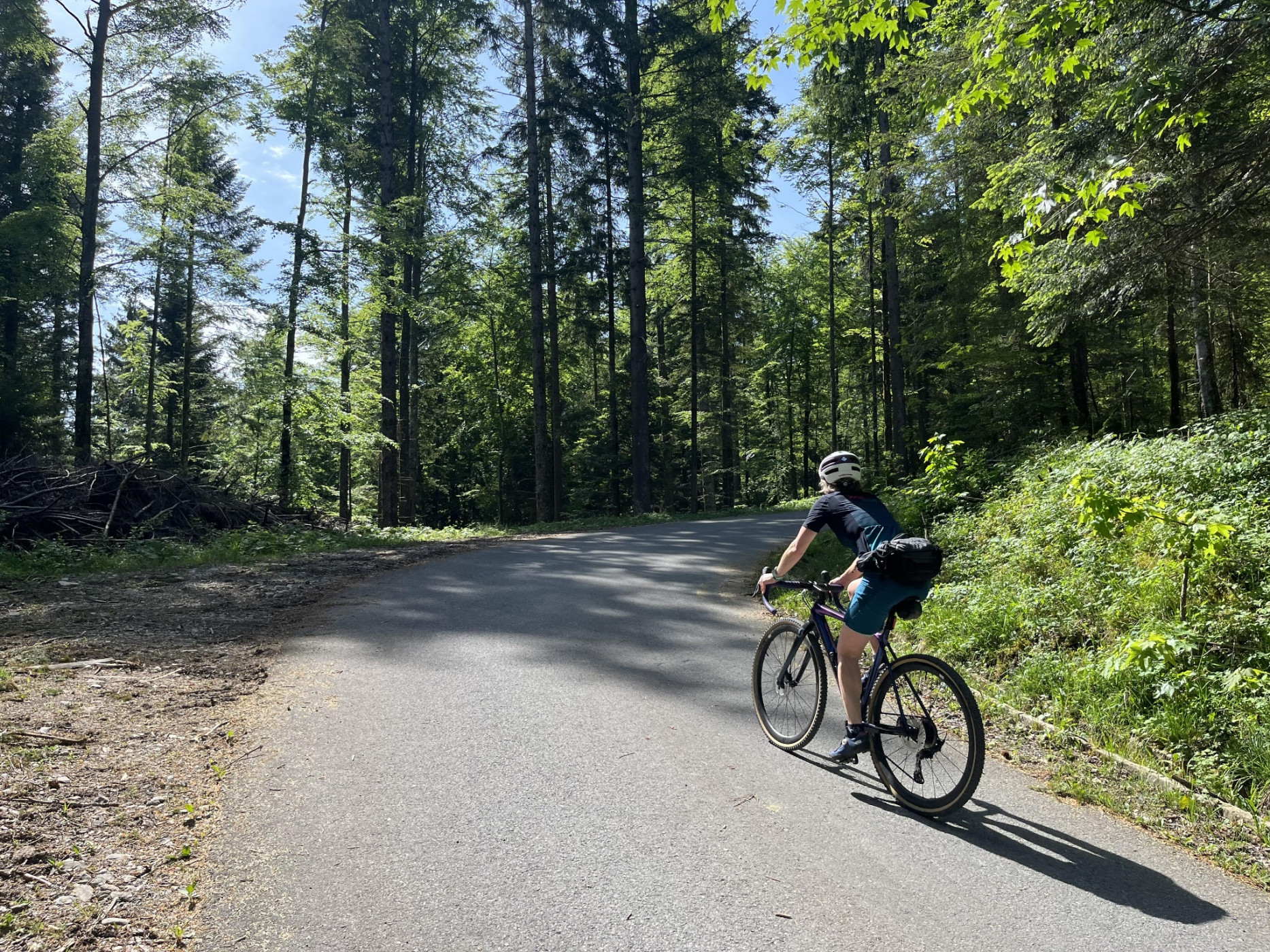
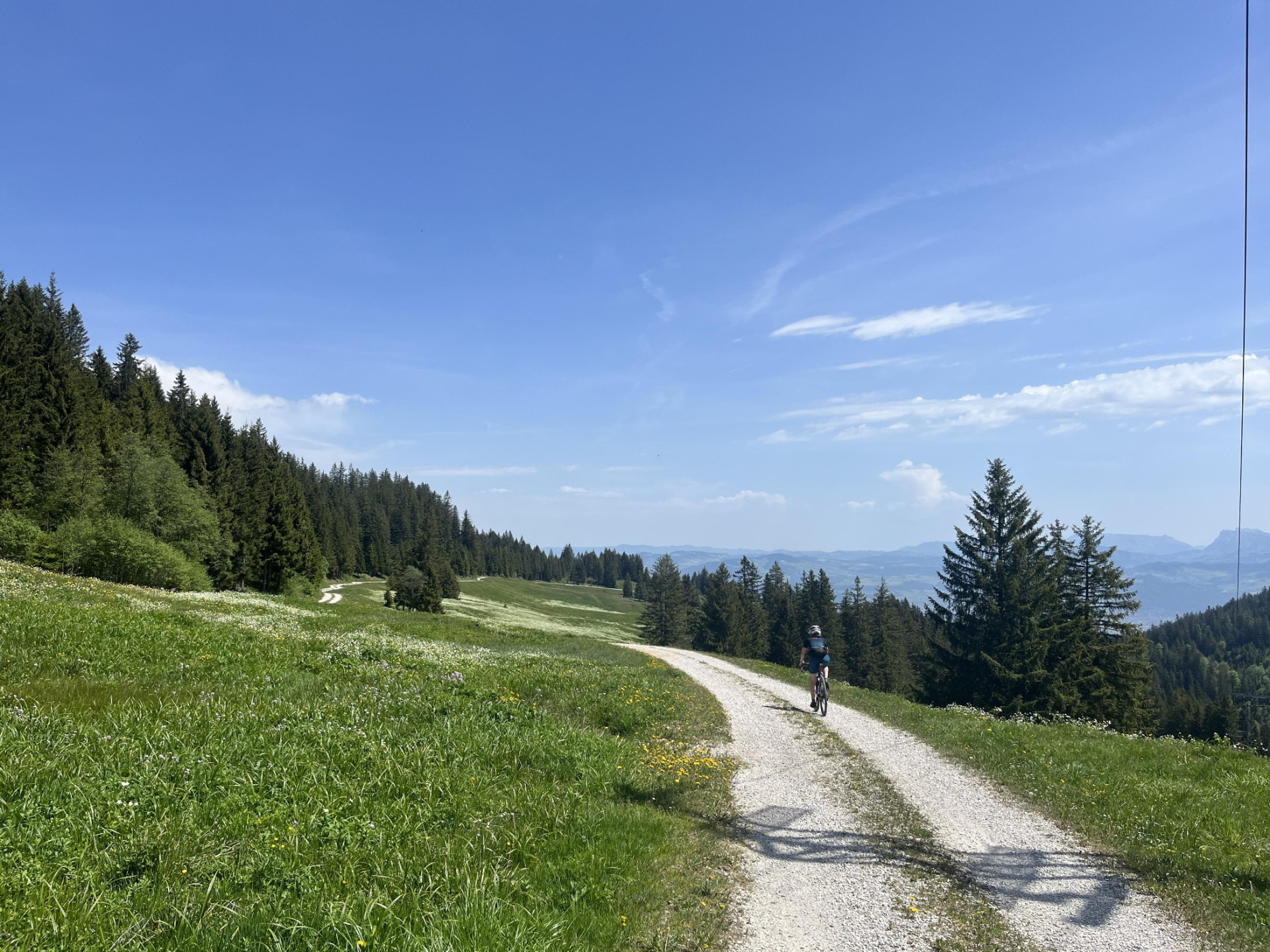
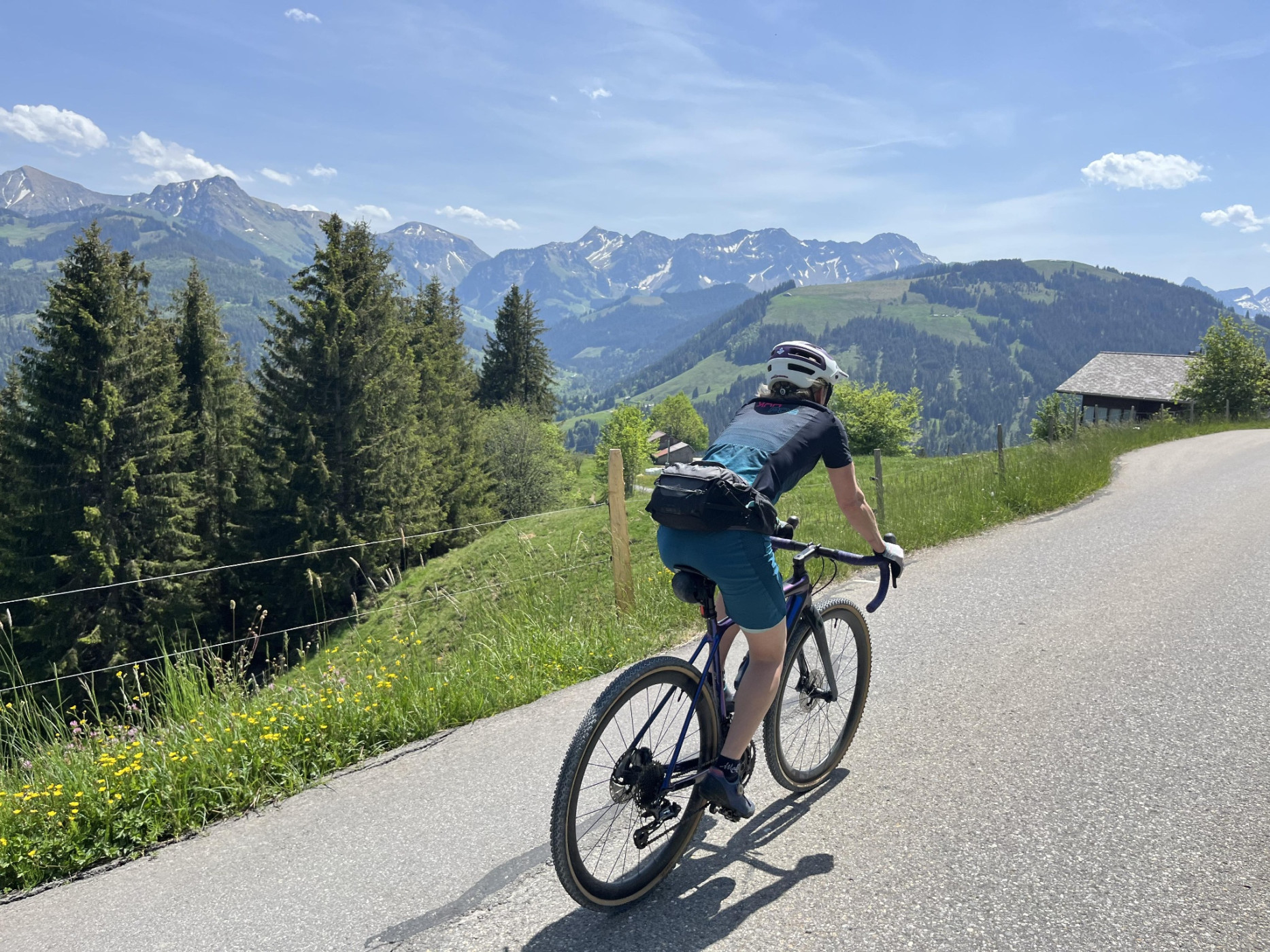
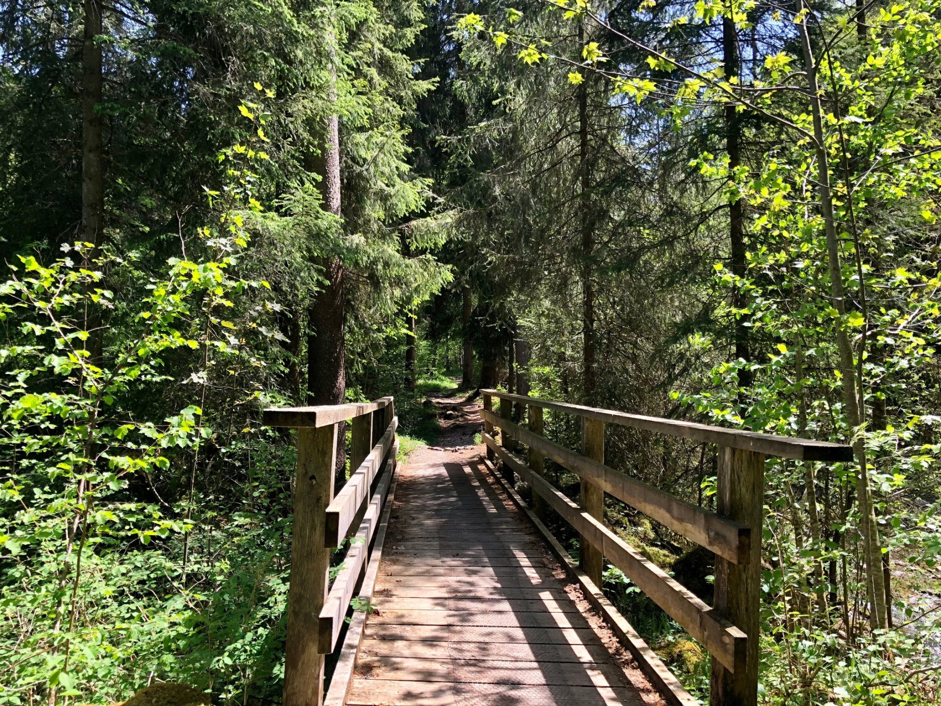
The route follows from Thun to the Gurnigel Pass along SwitzerlandMobil Bike Route 2. Across fields and along quiet forest roads, it climbs into the pristine pre-Alpine landscape of the Gantrisch area. Blumenstein is the last stop with catering options before the climb to the Gurnigel Pass. The peaks of the Gantrisch range draw closer. Upon reaching the first alpine pastures, the route runs through the regional natural park Gantrisch. Passing the mountain hut, after a strenuous ascent, you reach the Gurnigel Pass.
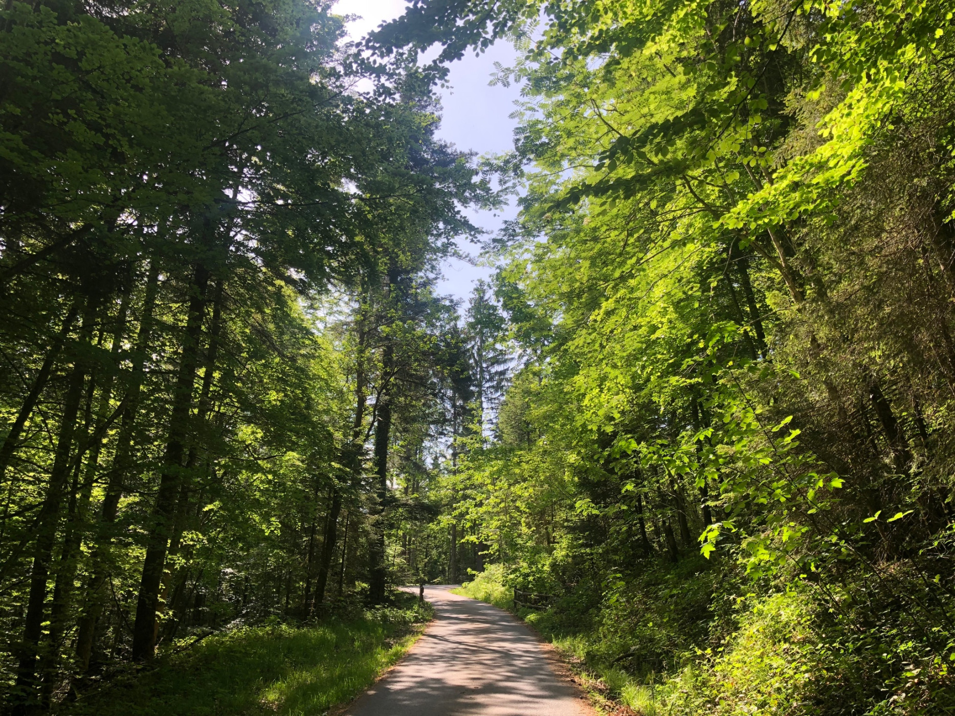
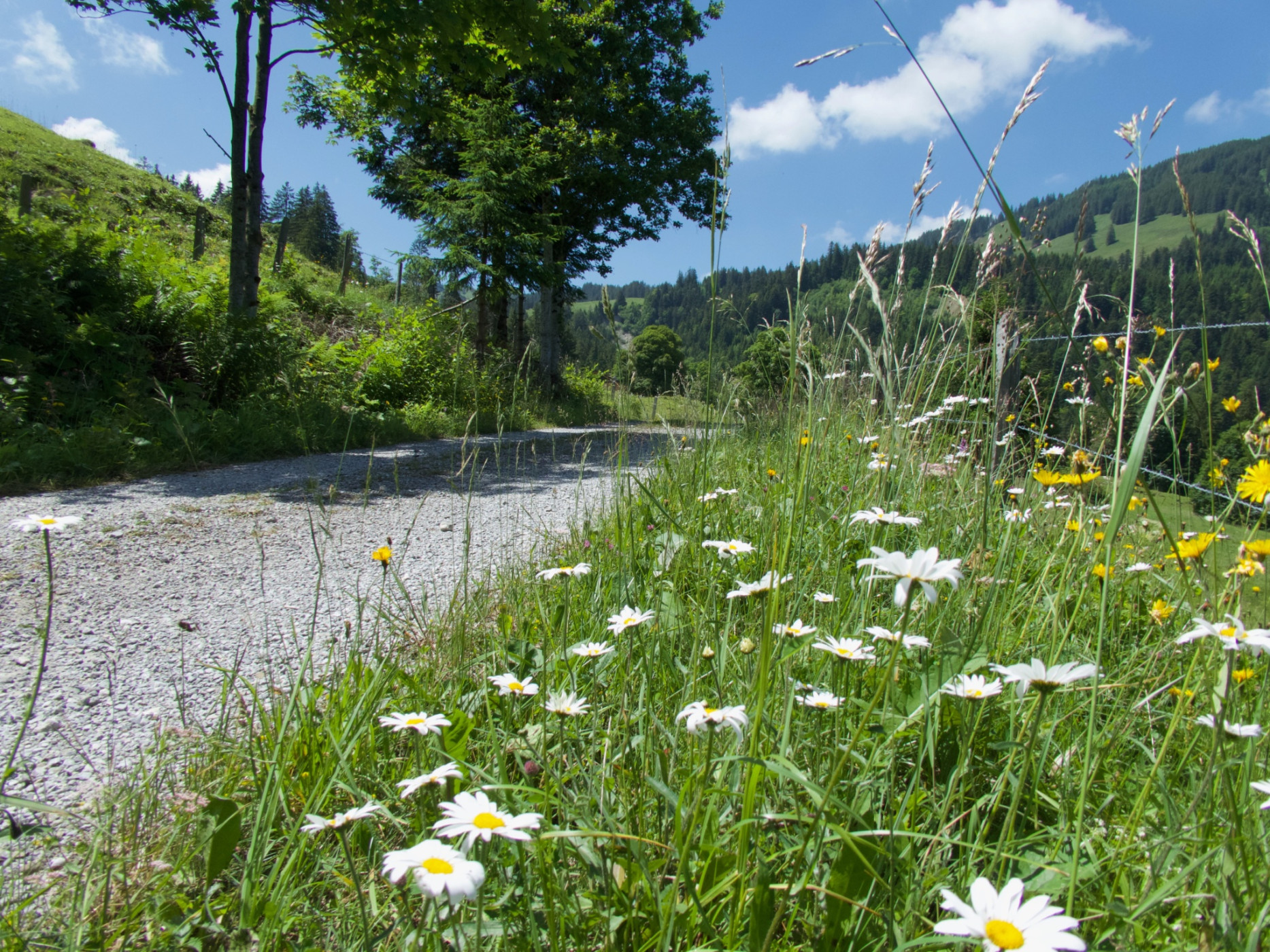
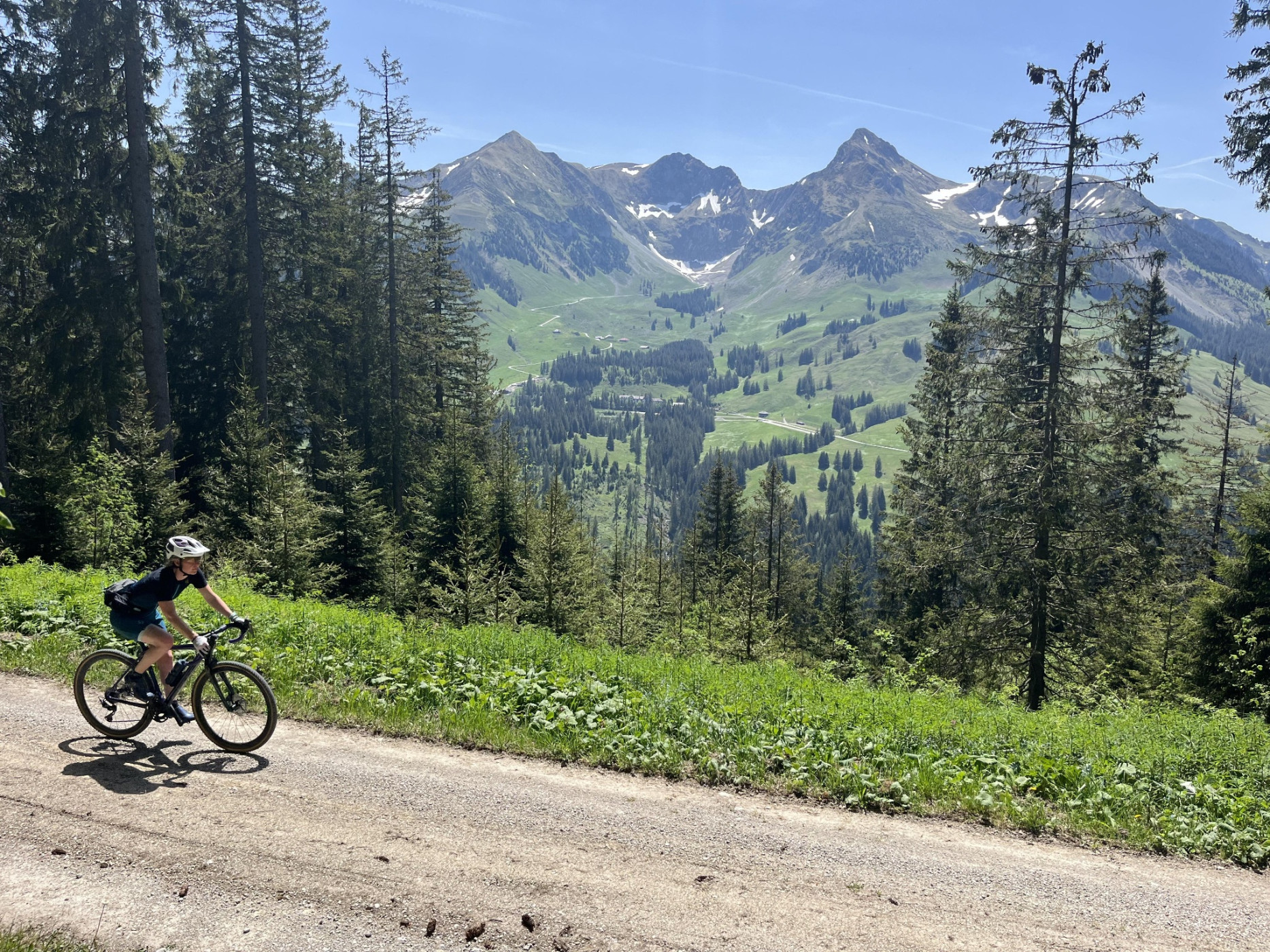
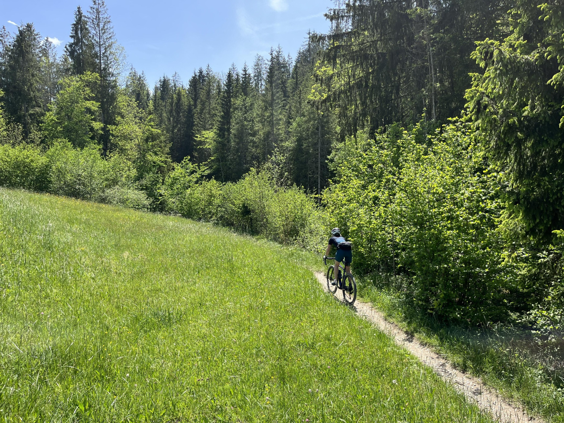
After a short asphalt section on Gurnigel Road, it continues on forest and gravel paths towards Ottenleuebad (partly on Bike Route 503). Views of the Gantrisch mountains open repeatedly. From Ottenleuenbad, follow the asphalt road downhill towards Sangernboden and over the Sense River into the canton of Fribourg to Zollhaus.
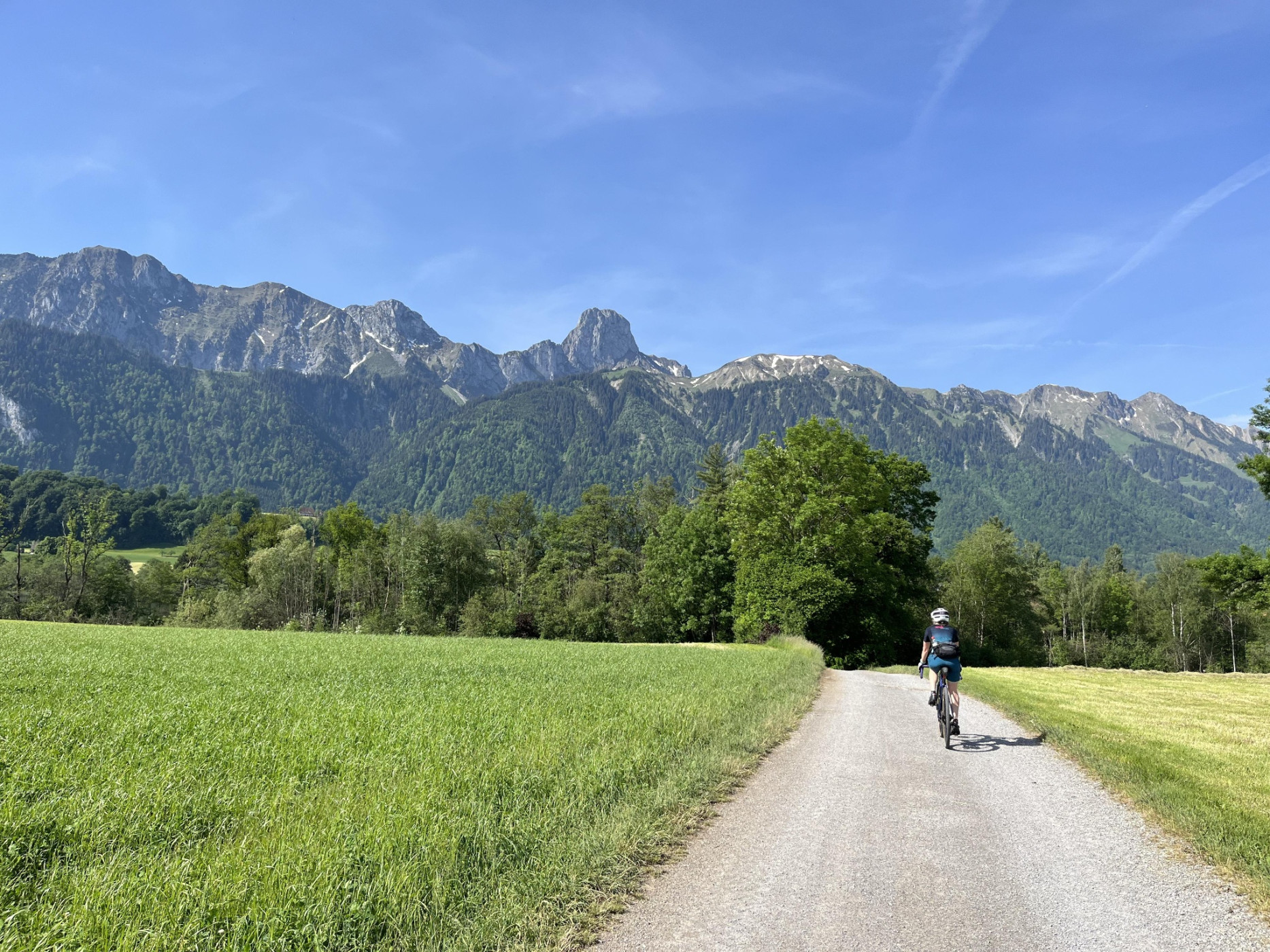
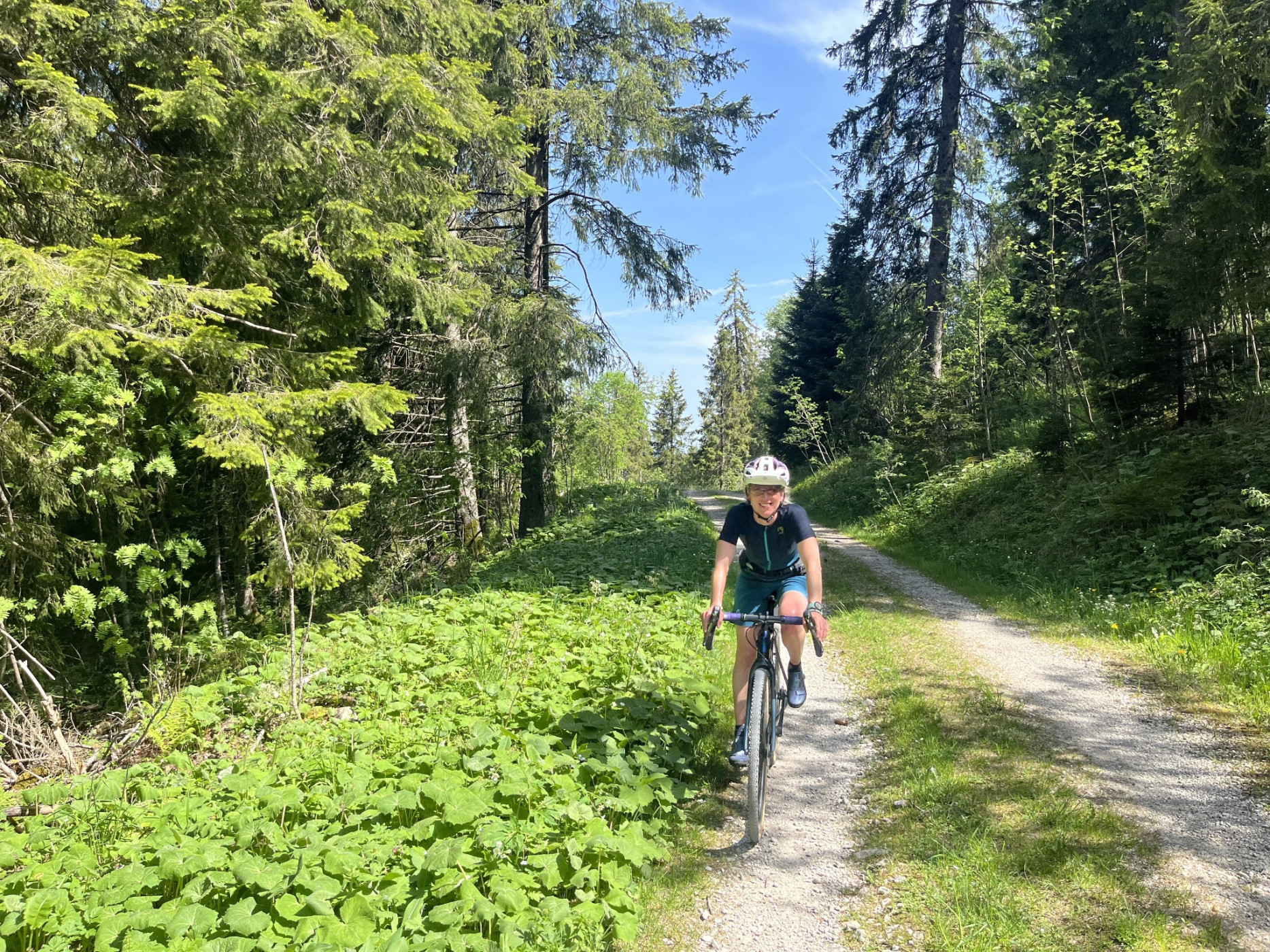
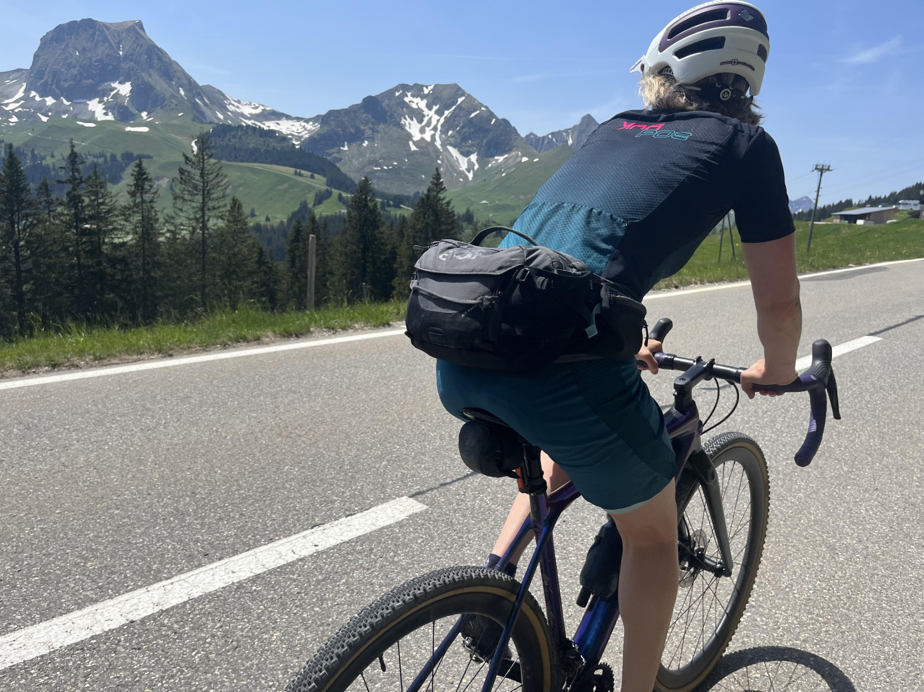
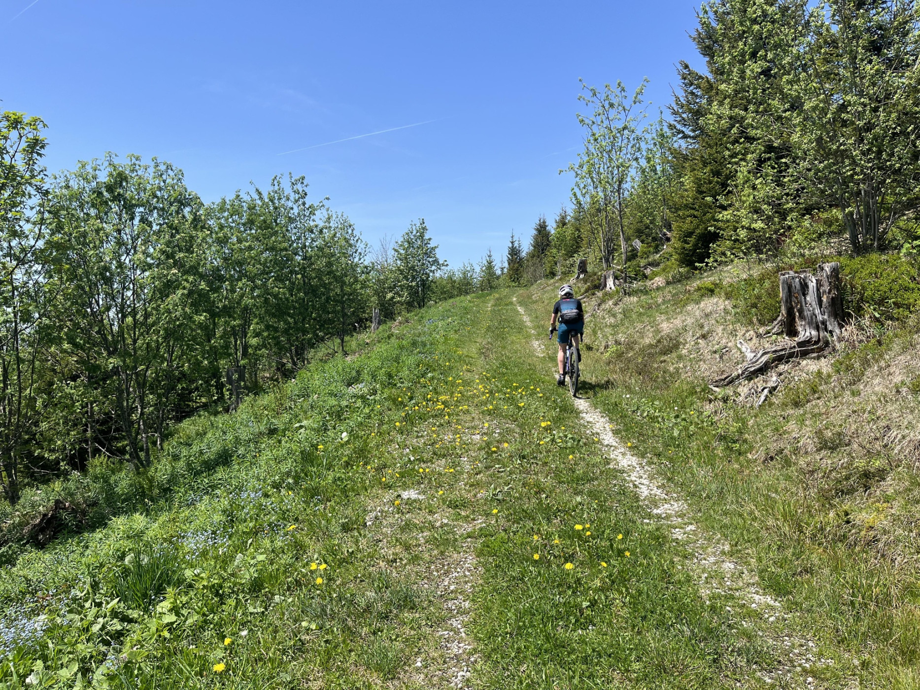
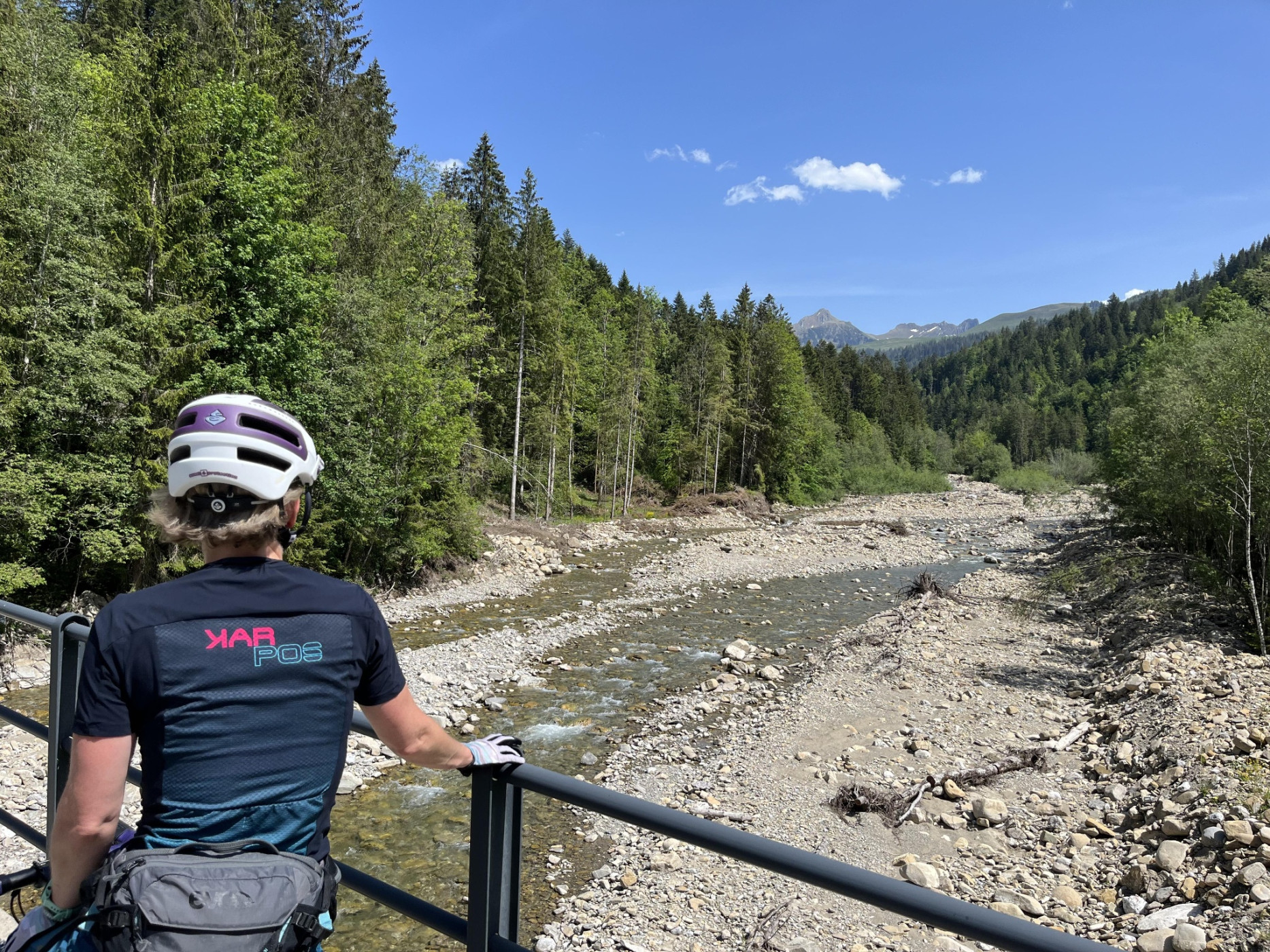
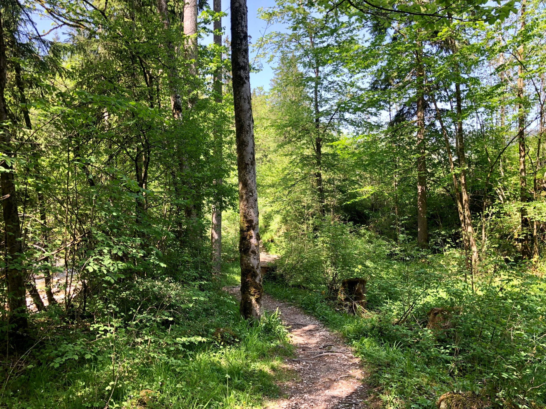
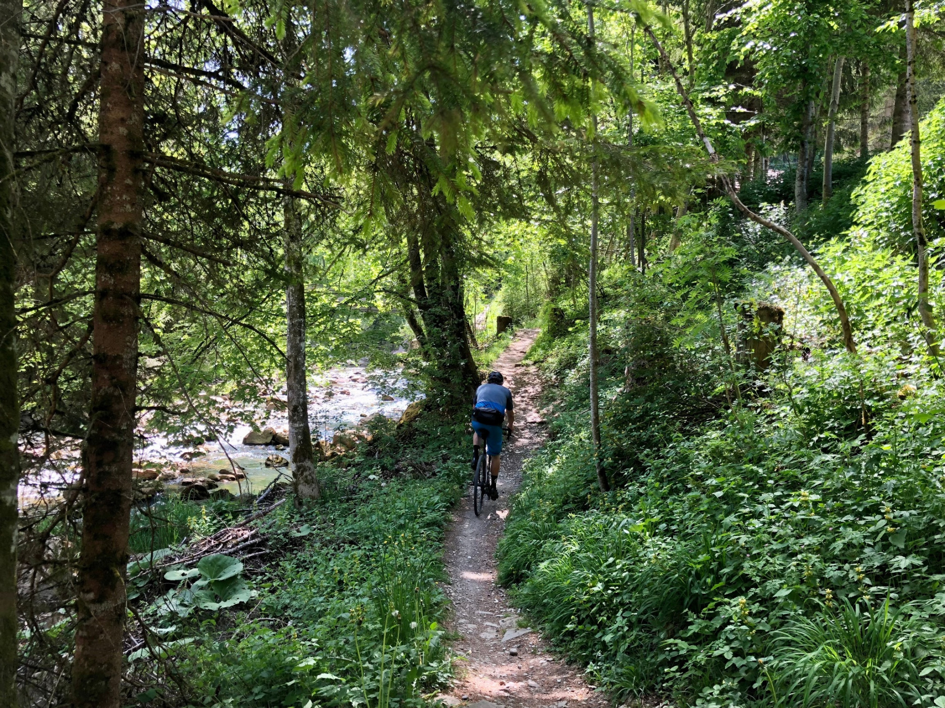
From Zollhaus, the route follows Bike Route 2 again and partly uses Schwarzsee Road, as some sections are technically too challenging for a gravel bike. Experienced cyclists follow Bike Route 2 from Zollhaus. Some sections include tricky root passages to overcome.
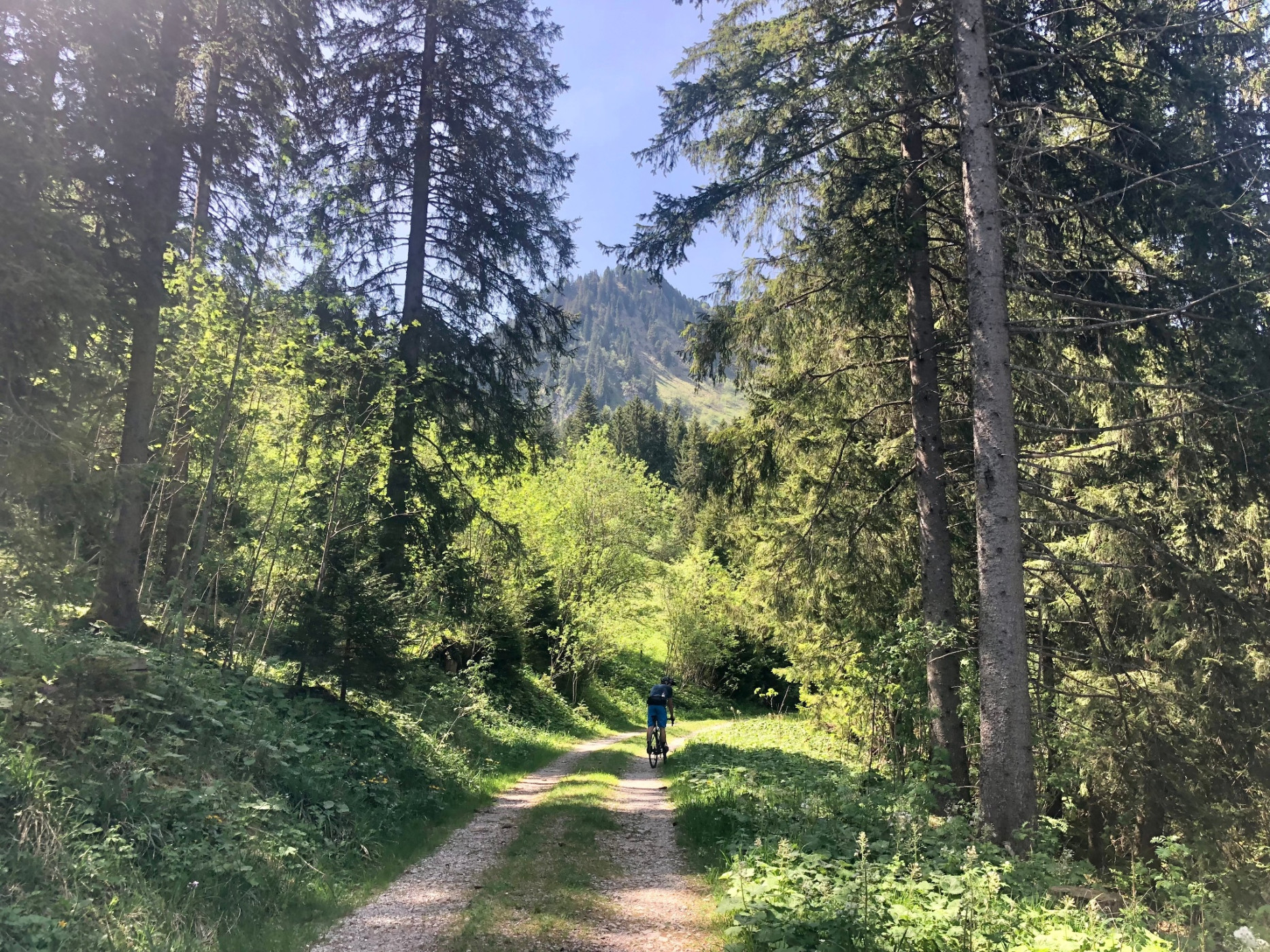
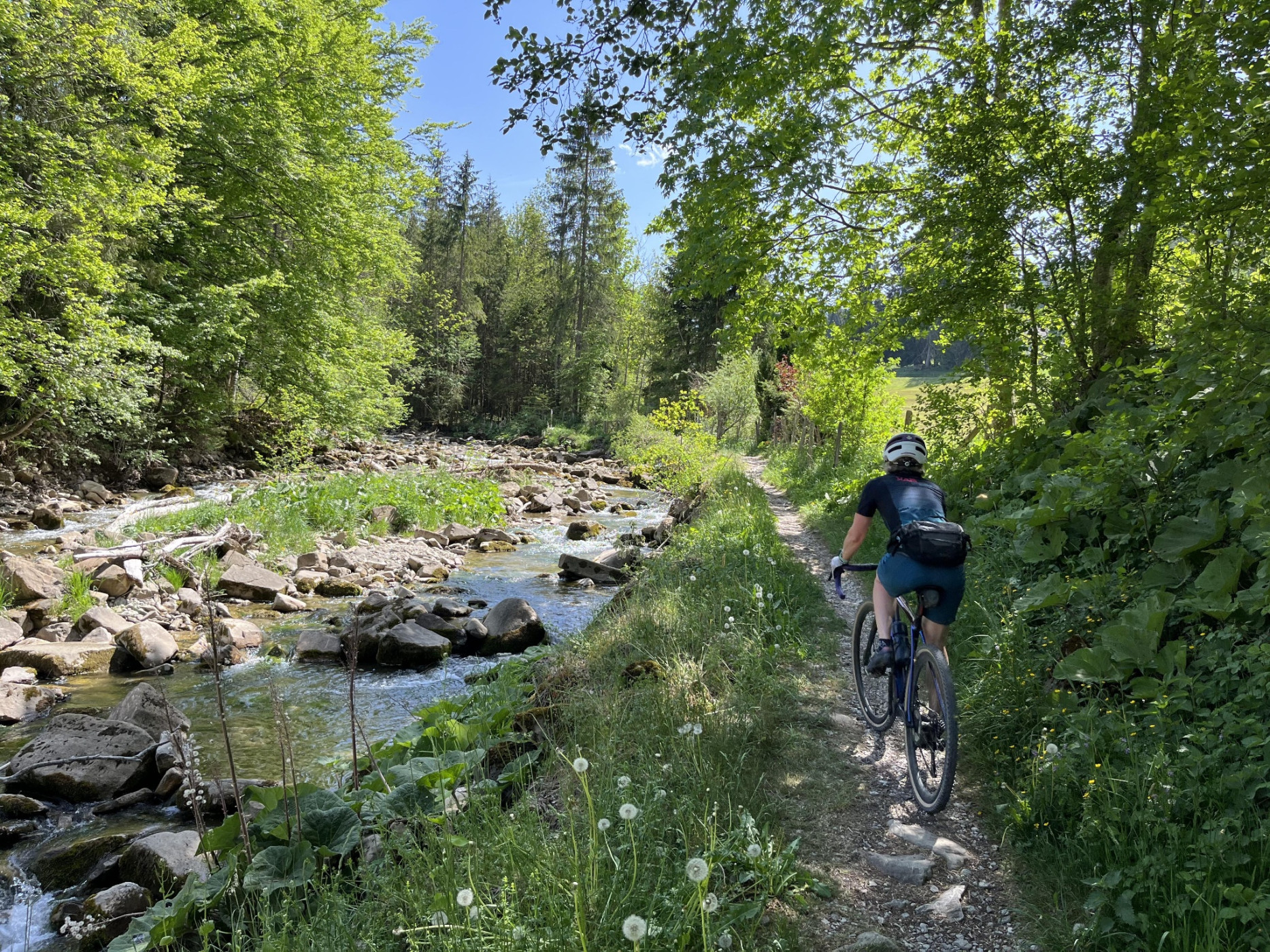
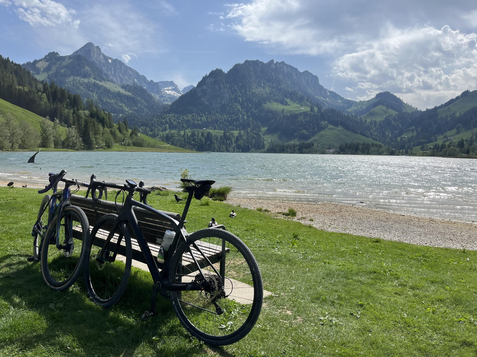
Soon, the local mountain Kaiseregg comes into view, and finally, the route leads directly to the lake, perfect for a cooling off.
In Schwarzsee, there are various accommodation, catering, and leisure options.
Route-information
Route-information
- Length
- 51.89 km
- Altitude difference ascent
- 1443 m
- Altitude difference descent
- 981 m
- Time required
- 4 hours 35 minutes
- Level technique
- Middle
- Level condition
- Hard
Details
Bike shops nearby:
- Various bike shops in Thun
- Zimmermann-Bike Blumenstein
- Mahu Bike and Sport Plaffeien
- Side Cut Schwarzsee
Bike service stations
A good trail infrastructure includes mountain bike routes as well as e-bike charging stations, bike washing facilities, bike shops, bike transport and bike tool boards. Here you can find an overview of bike service stations in the Voralpen bike region.
Equipment / Equipment rent
Gravel bike, weather-appropriate clothing and equipment, provisions, puncture repair kit and first aid kit.
Arrival
Arrival
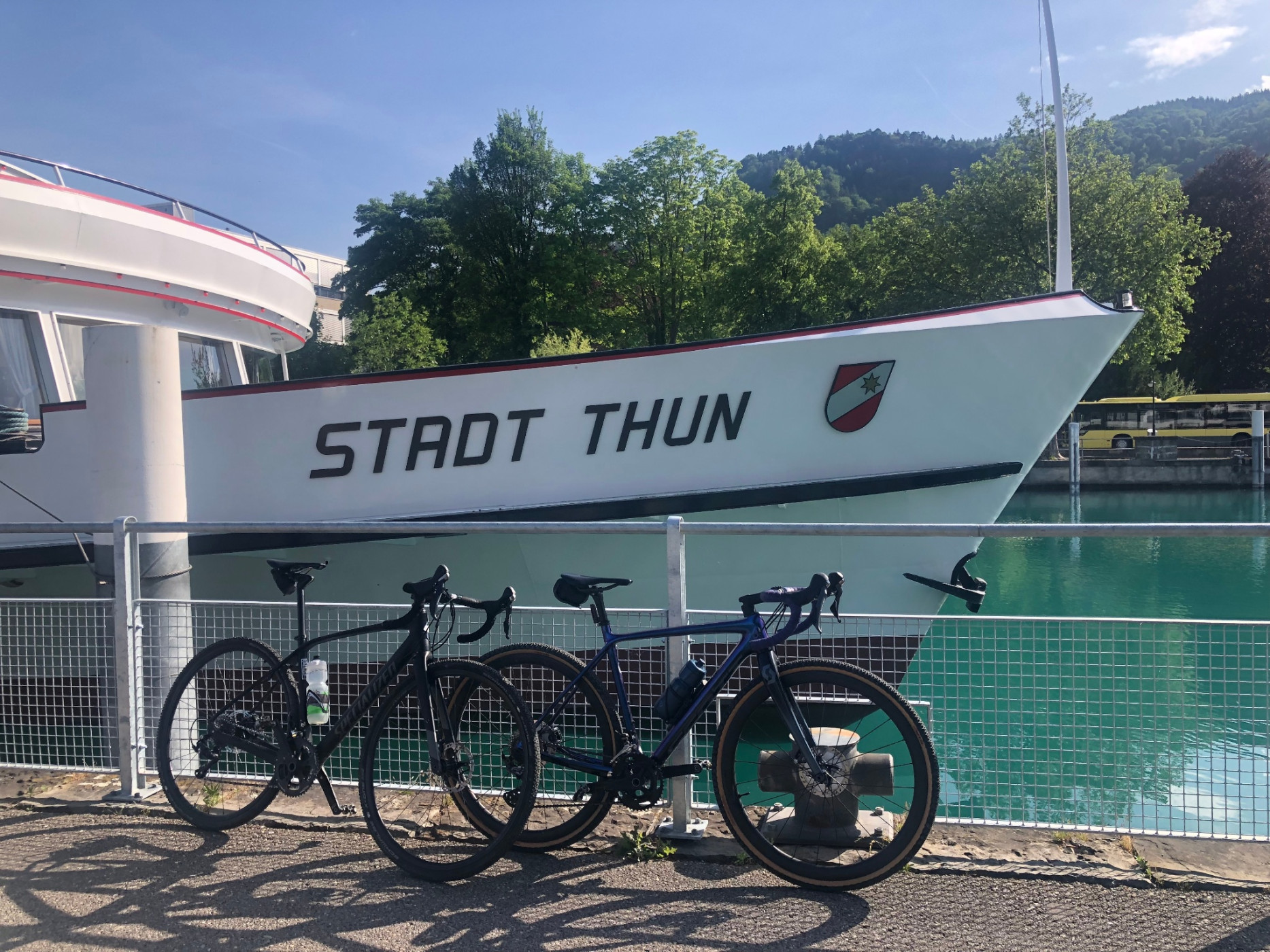
- Starting point
- Bahnhof Thun
- Arrival by public transport
- Thun, Bahnhof Timetable SBB
- Destination
- Schwarzsee, Gypsera
Suitable for
The offer is suitable for
- Adults
- 50+
Season
Mai, June, July, August, September, OctoberContact
Naturpark GantrischFörderverein Region Gantrisch
Schlossgasse 13
3150 Schwarzenburg
T +41 (0)31 808 00 20
www.gantrisch.ch