

Flühli - Salzbüel - Leitere - Flühli
UNESCO Biosphäre Entlebuch - Circular route from Flühli via Schwändleifluh back to Flühli
This varied circular hike offers a combination of alpine panoramas, quiet ridge paths, and peaceful forest sections. It starts in the village of Flühli and first leads over meadows and forest roads uphill towards Salzbüel. This first section is a steady but pleasant ascent and soon offers an open view of the Flühli valley and the surrounding landscape.
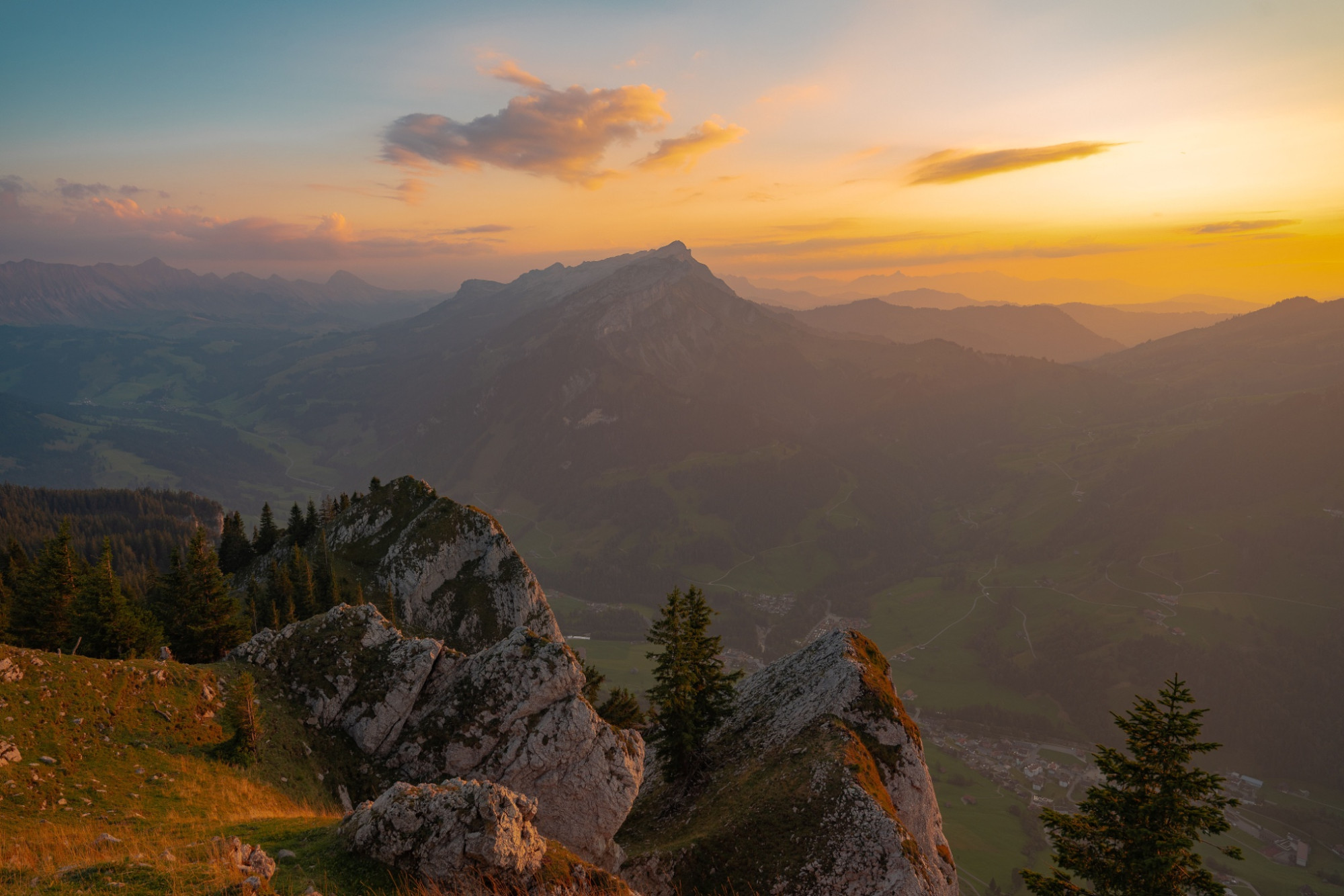
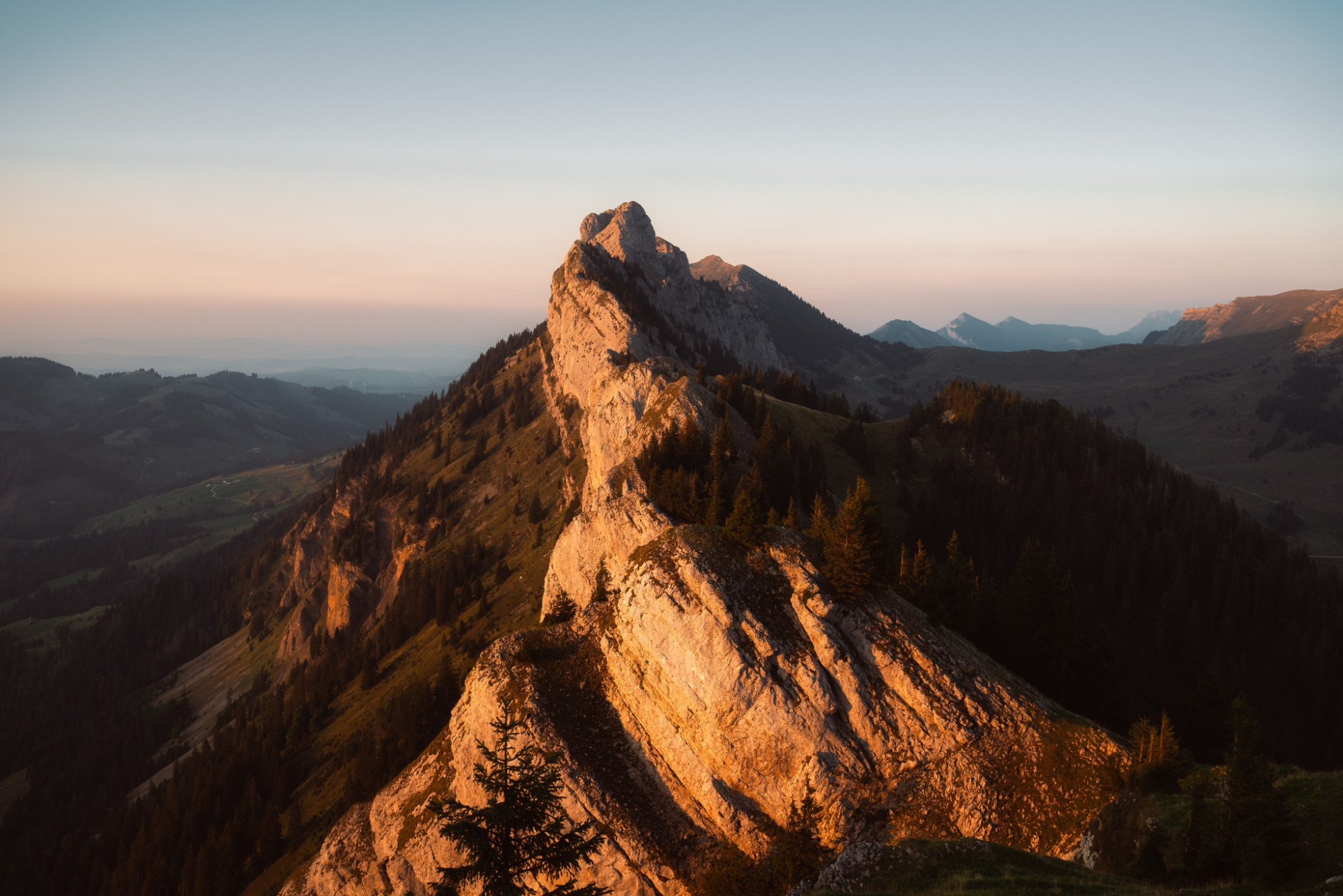
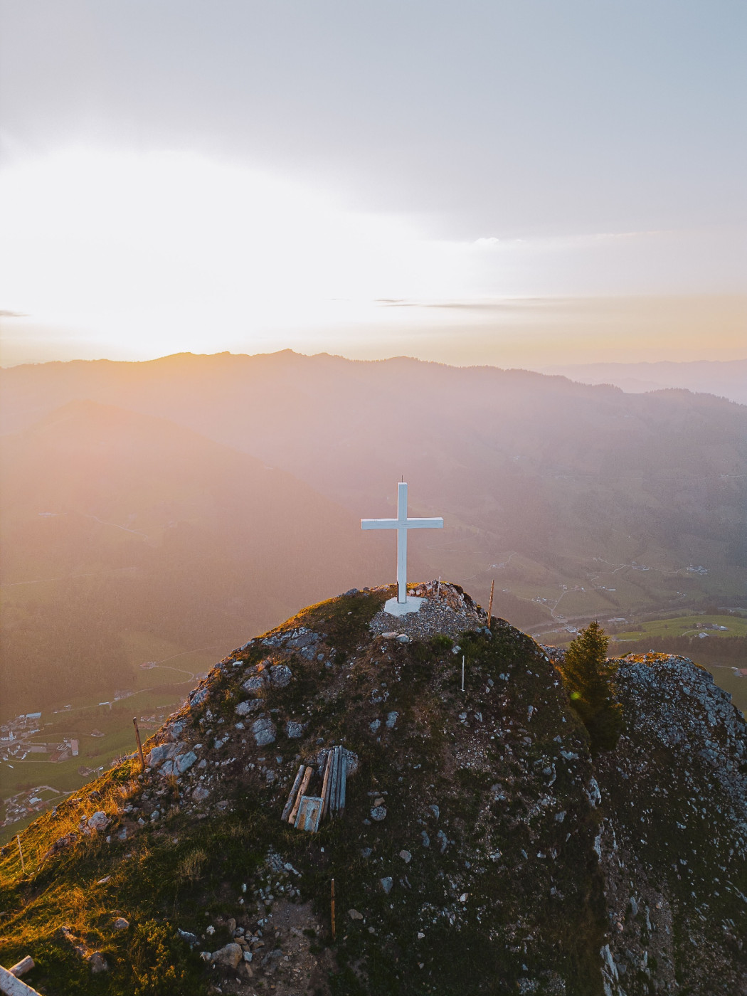
From Salzbüel the path continues uphill to Leitere where you reach the contour line. From here begins the most beautiful part of the route: the hike along the ridge path towards Schwändelifluh. The path mostly follows a narrow trail in open terrain, with impressive views of the Schrattenfluh, Brienzer Rothorn, and deep down into the valley of the Waldemme. Especially in clear conditions, this section is a real highlight.
After Schwändelifluh begins the descent towards Vorderrüüchi, over alpine meadows and stony paths, later through light forest. At Vorderrüüchi the view opens back again to the cliff and the already covered ridge section.
From there the path continues downhill into the quiet Chessiloch, a wooded gorge with streams, rocks, and mossy ground – a completely different, almost mystical part of the landscape. The last section goes on comfortable paths back to Flühli, where the circular hike ends.
Route-information
Route-information
- Length
- 17.96 km
- Altitude difference ascent
- 1188 m
- Altitude difference descent
- 1182 m
- Time required
- 7 hours 20 minutes
- Level technique
- Middle
- Level condition
- Hard
Details
Equipment / Equipment rent
Good footwear, rain jacket & sufficient drinking water for the way belong to every hike.
Further tips for safe hiking, information about cow-calf herds and guard dogs and much more can be found on the website of Swiss Hiking Trails.
Arrival
Arrival
- Starting point
- Flühli
- Destination
- Flühli
Suitable for
The offer is suitable for
- Adults
- 50+
Season
Mai, June, July, August, September, OctoberContact
UNESCO Biosphäre EntlebuchBiosphärenzentrum UNESCO Biosphäre Entlebuch
Chlosterbüel 28
6170 Schüpfheim
T +41 41 485 42 50
www.biosphaere.ch