
UNESCO Biosphäre Entlebuch
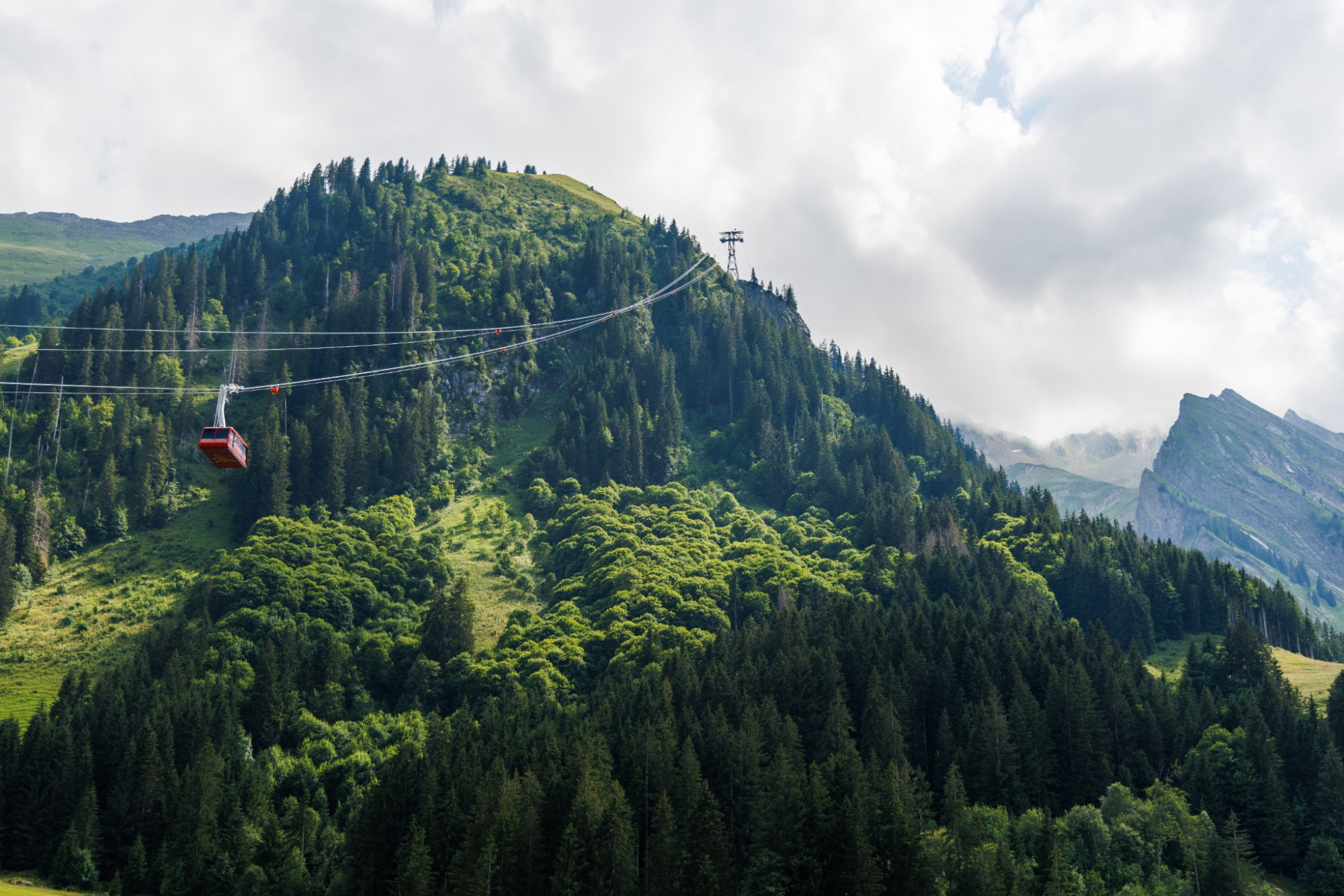
Luftseilbahn Brienzer Rothorn
Auf das Brienzer Rothorn, den höchsten Punkt des Kantons Luzern, gelangen Sie bequem in weniger als 10 Minuten mit der Luftseilbahn.
Infrastructure SummerInfrastructure WinterFunicular
Swiss Parks Network
Monbijoustrasse 61
CH-3007 Berne
Tel. +41 (0)31 381 10 71
Mob. +41 (0)76 525 49 44
info@parks.swiss
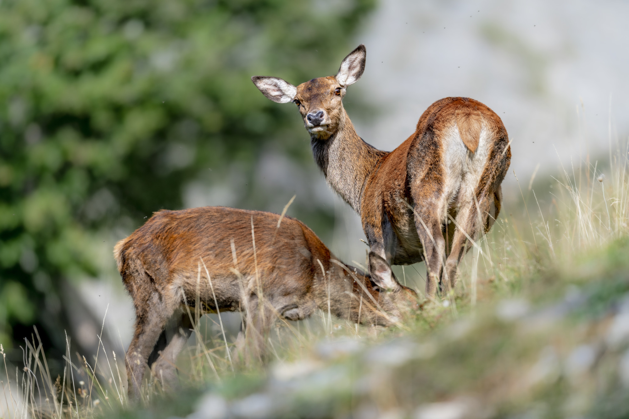

UNESCO Biosphäre Entlebuch - Mountain hike starting from a scenic viewpoint on the highest mountain in Lucerne.
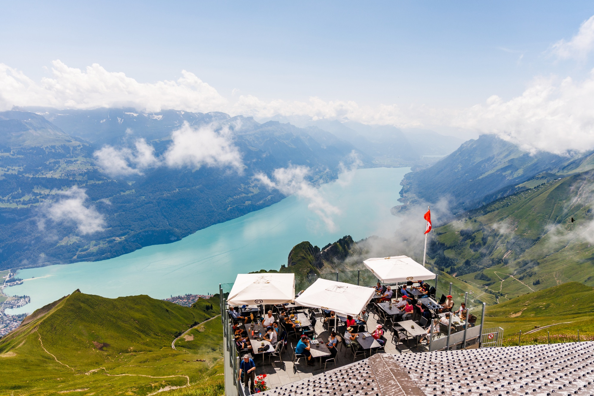
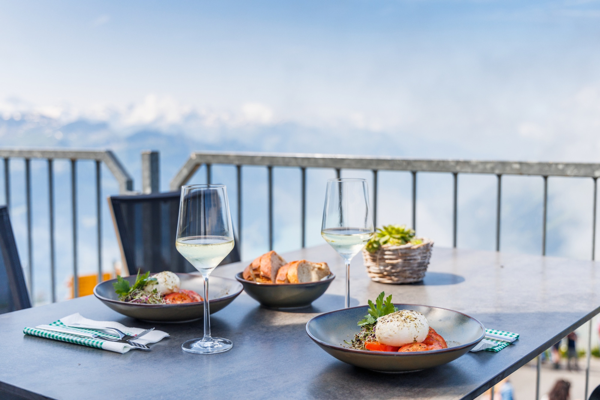
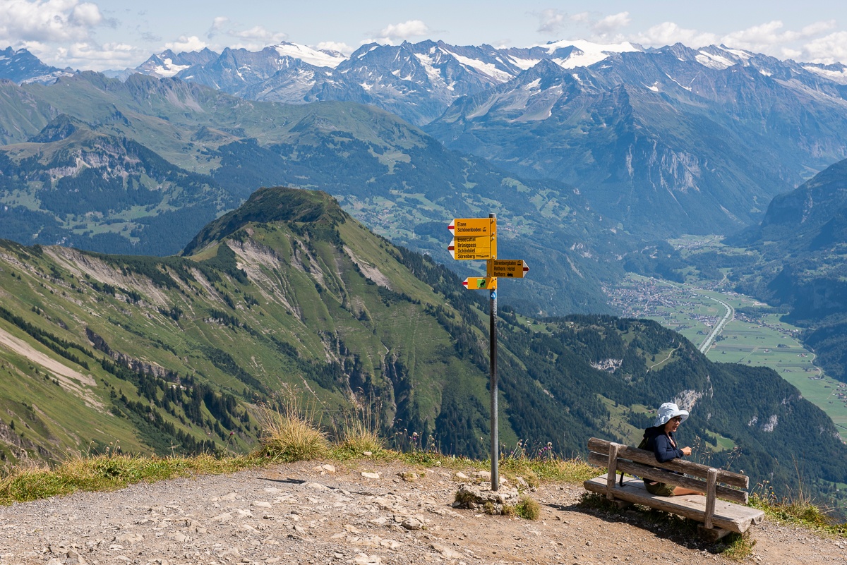
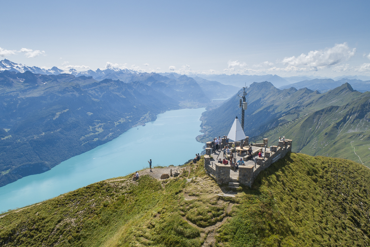
The starting point of the hike is at the Top of Biosphere, the Brienzer Rothorn, which you can comfortably reach by cable car. The ride with the cable car from the valley to the Brienzer Rothorn at 2350 m above sea level is spectacular. Once at the top, most people are speechless for the first time. The view stretches far north over the Emmental forest valley, on clear days over the Napf and the lakes beyond, even as far as the Black Forest area. And on the back side, the turquoise Brienz Lake and the snow-covered Bernese Alps with Eiger, Mönch and Jungfrau and another 690 peaks—simply breathtaking. The unique panoramic view can be enjoyed in good weather on the sun terrace and also from the summit restaurant Rothorn thanks to large window fronts.
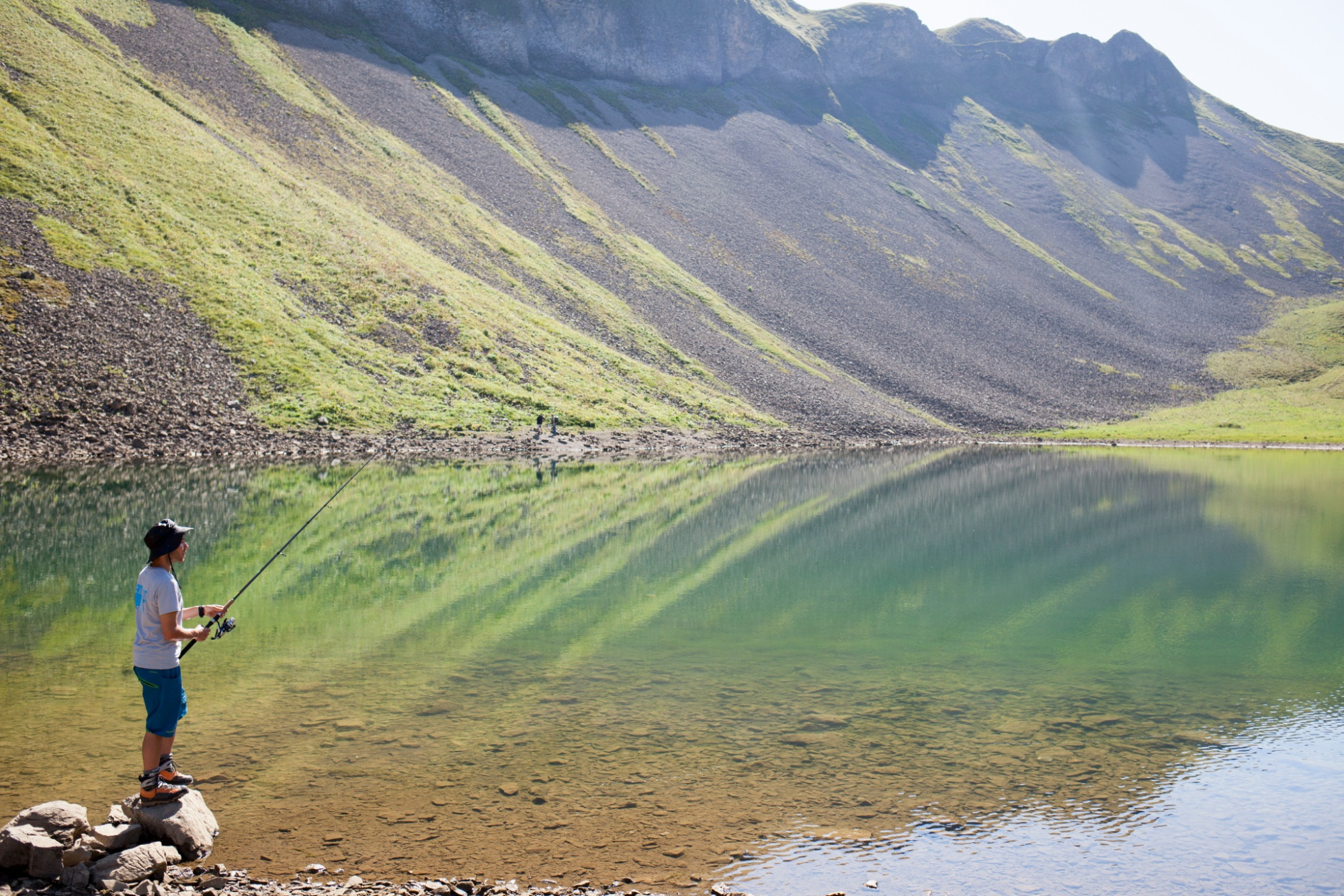
After marveling, photographing, and enjoying, the hike starts, the descent towards Eisee is somewhat steep but the view is simply fantastic. At the natural jewel Eisee, a longer break is really worth it. Whether having coffee or lunch at the cozy mountain inn Eisee or a picnic right at the lake—you experience pure mountain idyll here! The Eisee is popular with fishermen. Rainbow trout, brook trout, and char can also be fished here with a day permit.
Now strength in the legs is required, as the hiking trail leads steadily downhill back to Sörenberg. Shortly after the Eisee, you hike in a zigzag along the valley slope. The black piste often causes a pounding heart in winter—it is one of the steepest in all of Europe. Even in summer, the steep terrain is impressive. This part of the hike is a rather rocky section; hiking poles are highly recommended to relieve strain.
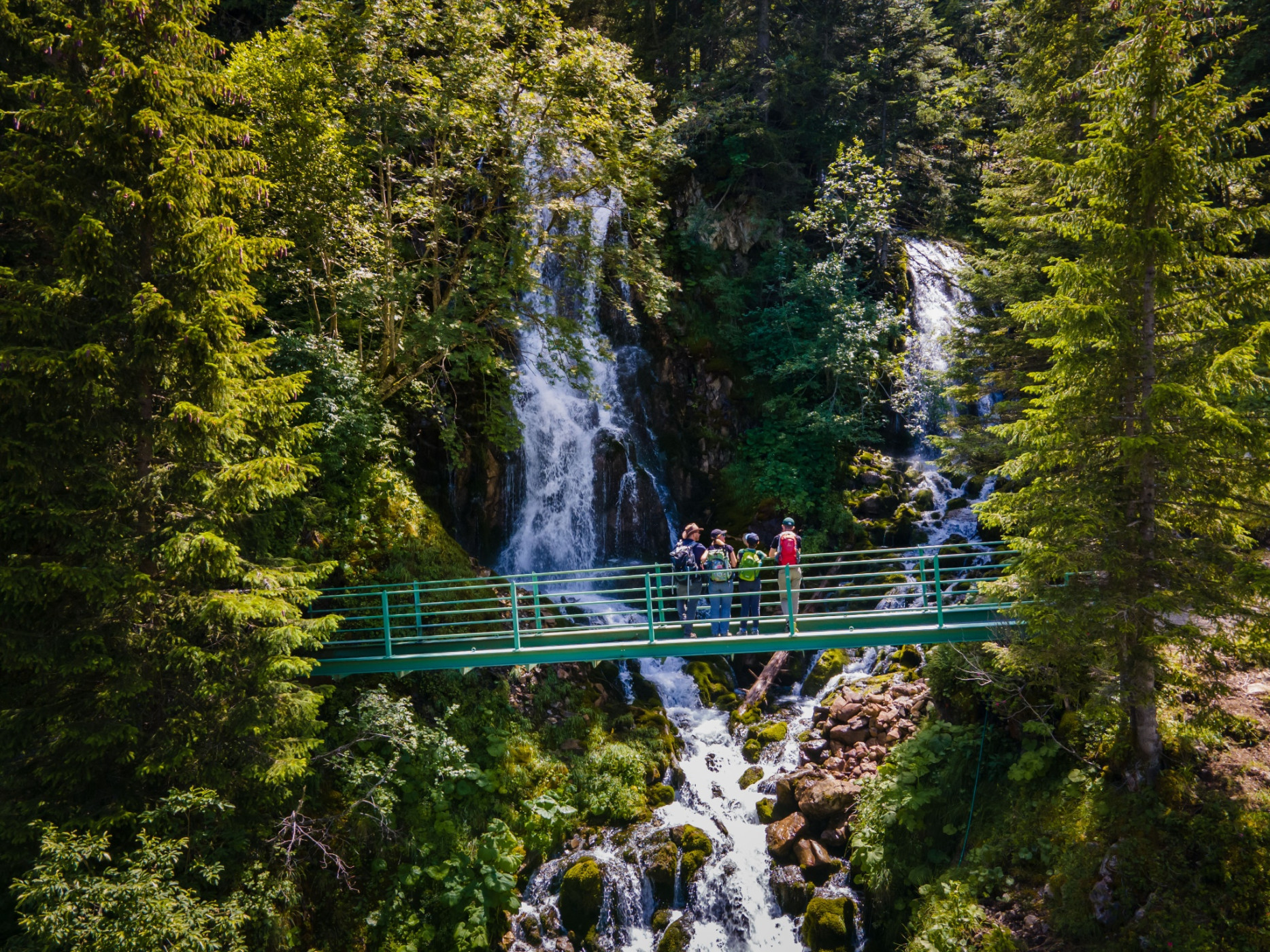
Once it turns green again, a final highlight awaits, the Emmensprung. Like out of nowhere, spring water gushes from the ground and finds its way into the valley, where it eventually flows into the Waldemme. Just a few meters further, you discover two waterfalls in the middle of a small forest, over whose moss-covered rocks the water rushes down. Now it is only a short distance back to the valley station of the cable car and the end of the hiking route.
Sörenberg Flühli Tourism
Rothornstrasse 21
CH-6174 Sörenberg
Phone +41 (0)41 488 11 85
ww.soerenberg.ch
Good footwear, a rain jacket & sufficient drinking water for the way are part of every hike.
More tips for safe hiking, information about suckler cow herds and guardian dogs, and much more can be found on the website of the Swiss Hiking Trails.
Information about the current condition of the Sörenberg-Flühli hiking trail network is available daily on the panoramic hiking map.
Brienzer Rothorn - Eisee - Schönenboden
Aerial cableway Sörenberg - Brienzer Rothorn
Auf das Brienzer Rothorn, den höchsten Punkt des Kantons Luzern, gelangen Sie bequem in weniger als 10 Minuten mit der Luftseilbahn.
Geniessen Sie von der Gipfel-Terrasse oder im Restaurant mit Panoramafenstern die unglaubliche Aussicht.
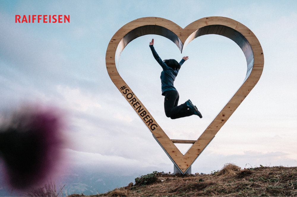
Welcome to the #FototrailRothorn - sponsored by Raiffeisen.