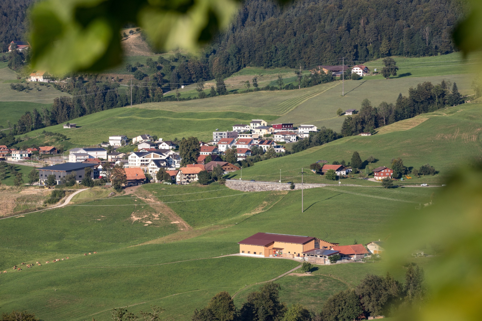


Circular hike in the Ebnet area
UNESCO Biosphäre Entlebuch - On this circular hike, two historical routes and impressive views await those looking for a walk away from the big (hiking) crowd.
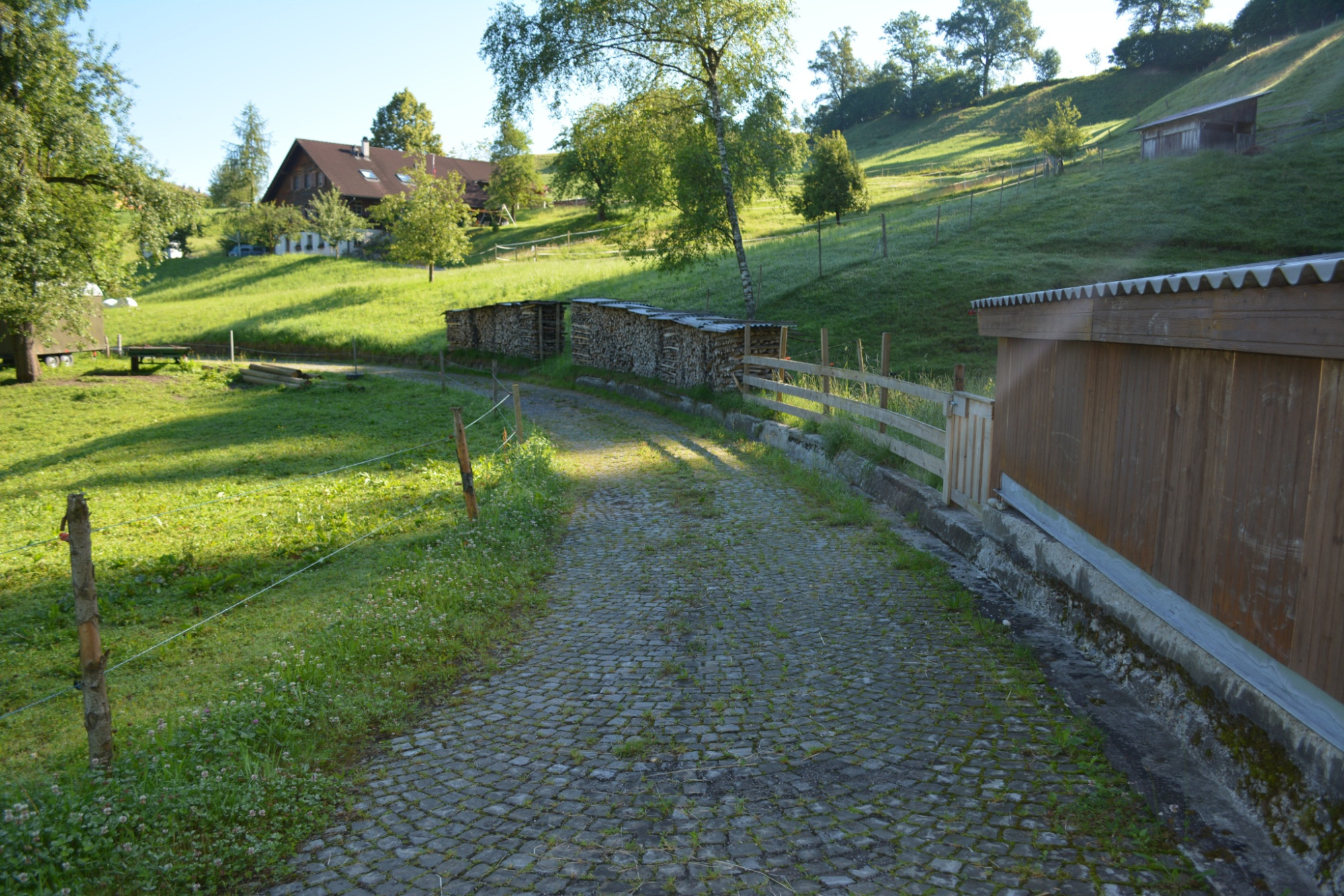
The hike starts at Lindenhof Ebnet with an ascent, first through open terrain and later through the Bramegg forest. In the upper part, the hiking trail follows the former pack animal trail Entlebuch–Lucerne – a deeply incised sunken path. Until the end of the 18th century, the difficult traffic conditions between Entlebuch and the city of Lucerne were no problem for the people of Entlebuch. On the contrary: they could pursue their trade with the people from Emmental and Alsace wine merchants undisturbed. The route across the Bramegg with its distinctive sunken paths served as the main connection until a new road over the Rengg in 1825 and the cantonal road over Wolhusen in the 1840s replaced the pack animal trail.
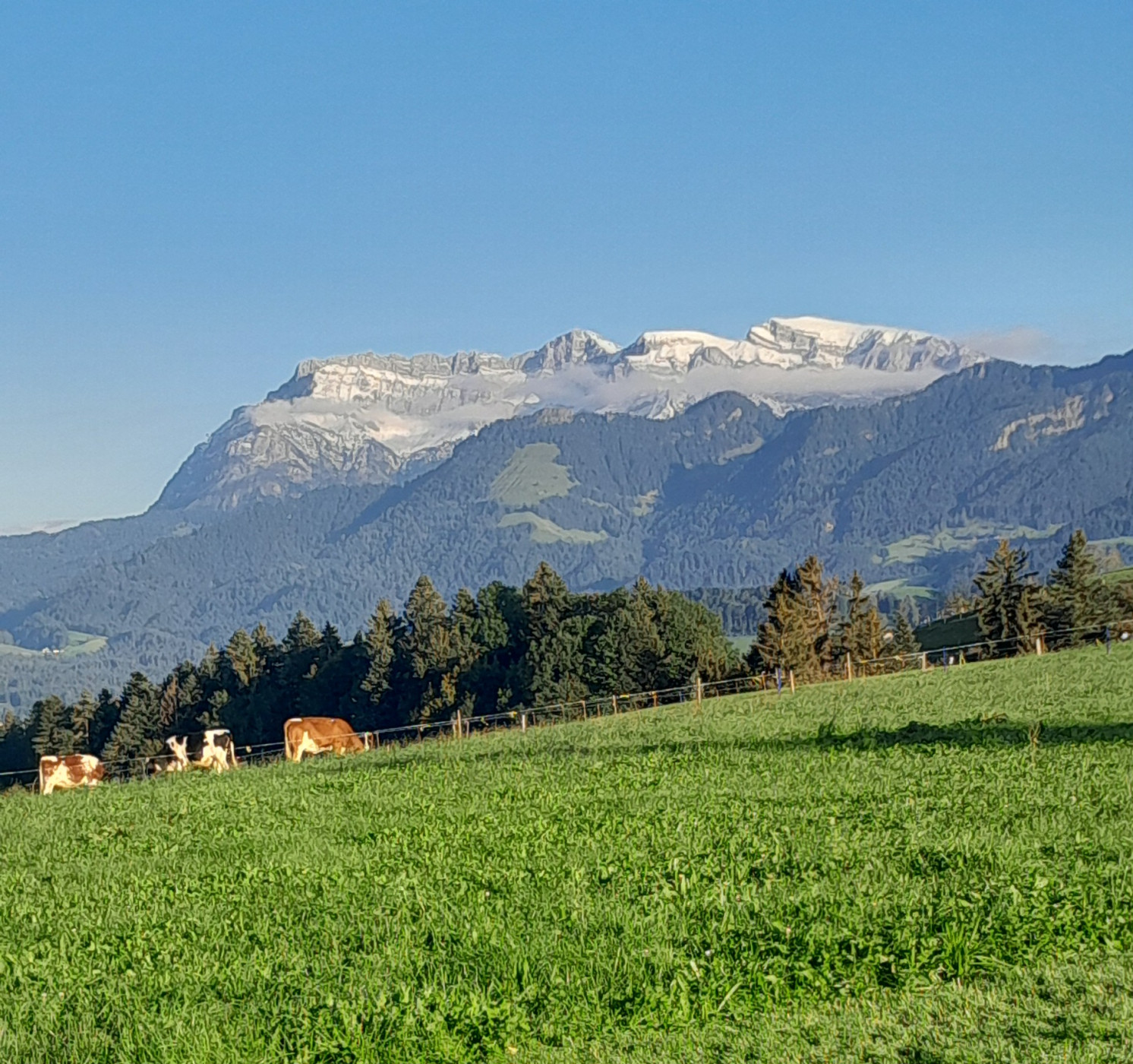
The view into the Napf area, the Central Plateau and the Pre-Alps is impressive. Shortly before the picnic area in Staldigwald, the trail leads into a forest reserve with ponds (Attention: at the trail junction after the pond keep slightly right). After the break, the route continues downhill. Between Sagili and Stalde, you walk on the old Schwanderholz road, visible due to the preserved paving.
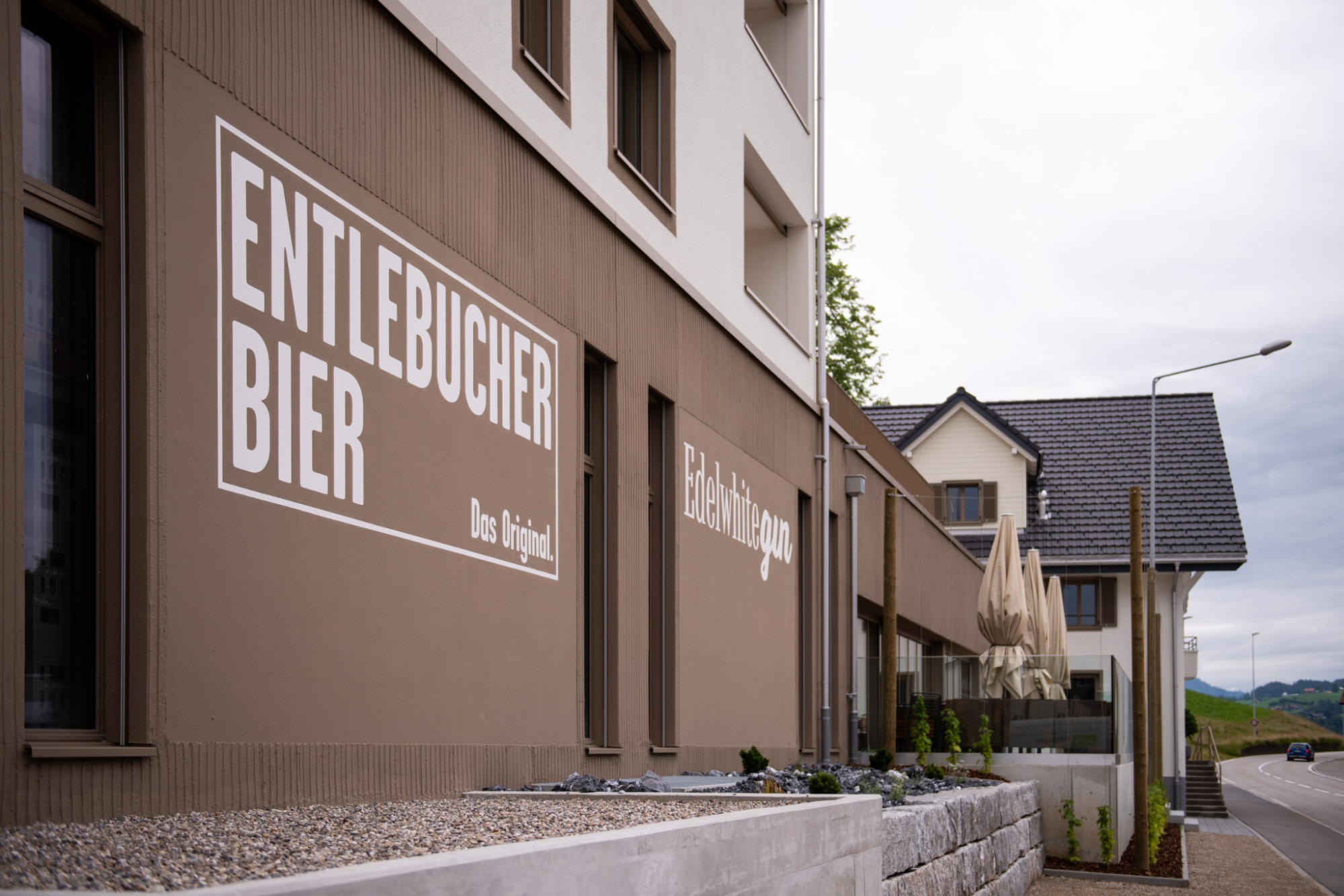
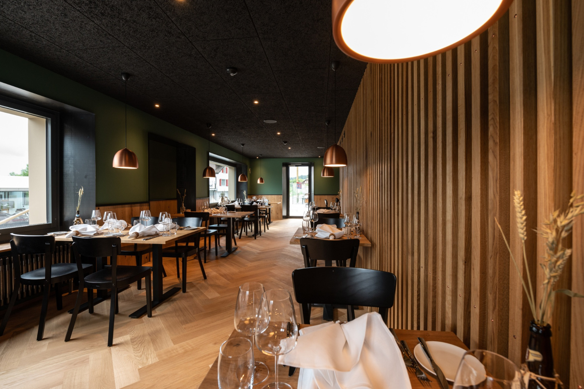
The hike ends again at Lindenhof Ebnet. Lindenhof relies on regionality in its restaurant - under the motto sustainably enjoyable, the small fine producers from the surrounding area are considered. Of course, the Entlebuch beer or the Edelwhite Gin may not be missing, which also have their production sites at Lindenhof. Inform yourself in advance about the opening hours.
Route-information
Route-information
- Length
- 11.19 km
- Altitude difference ascent
- 306 m
- Altitude difference descent
- 306 m
- Time required
- 3 hours 10 minutes
- Level technique
- Easy
- Level condition
- Middle
Details
Tourism Municipality Entlebuch
CH-6162 Entlebuch
info@tourismus-entlebuch.ch / www.tourismus-entlebuch.ch
Equipment / Equipment rent
Good footwear, a rain jacket & sufficient drinking water for the way belong to every hike.
Further tips for safe hiking, information on cow-calf herds and livestock guardian dogs and much more are available on the website of Swiss Hiking.
Signalization
Restaurant Lindenhof Ebnet - Ober Zeugweid – Alp – Herbrächt – Oberstaldig – Chlosterwald – Häntschen – Schwanderholz – Maischwand – Restaurant Lindenhof
The following routes are marked as hiking trails: Ebnet to Staldigwald, P. 888 to P. 778, P. 714 to Stalde. The unmarked routes in Staldigwald, in Holzwald and near Burgsite consist of well-visible small roads and forest paths. Attention: Follow the signpost at Underwald towards Dünnhirs/Werthenstein.
Arrival
Arrival
- Starting point
- Restaurant Lindenhof, Ebnet
- Arrival by public transport
- Ebnet (Entlebuch), Schulhaus Timetable SBB
- Destination
- Restaurant Lindenhof, Ebnet
Suitable for
The offer is suitable for
- Adults
- Children from 7-12 years
- Children >12 years
- Groups