

Circular hike through the exclave Dieplischwand
UNESCO Biosphäre Entlebuch - Three municipalities in one go.
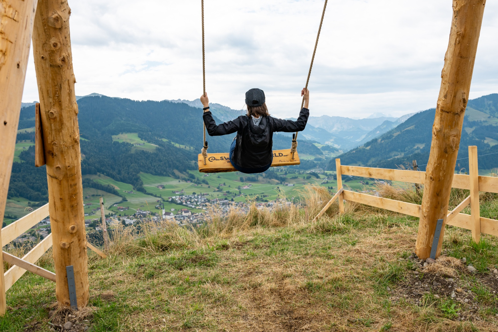
The district of Habschwanden lies above the villages of Hasle and Entlebuch and offers a fantastic view into the Napf region. The hike leads to Schüpferegg in the municipality of Schüpfheim.
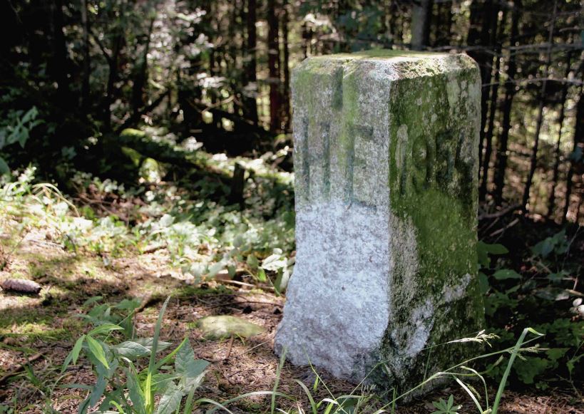
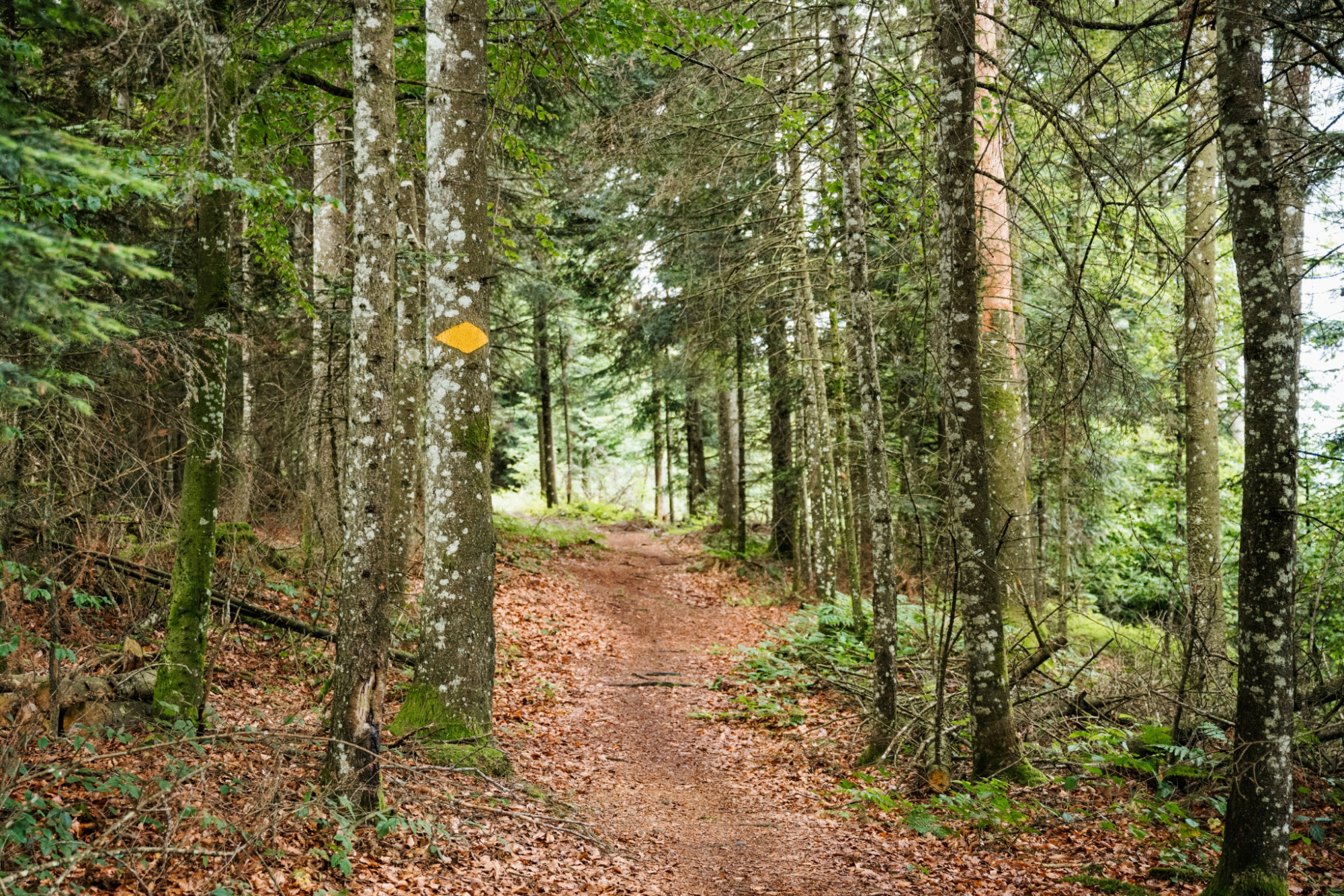
This moderately difficult circular hike follows a traffic-free, paved road in the first part and is stroller-friendly on this section. In the second part, you walk on a beautiful natural path in the forest and on a ridge, which repeatedly offers stunning panoramic views. On this section, you encounter two boundary stones of the municipalities Entlebuch, Hasle, and Schüpfheim, an impressive transmission tower in the Voglisbergegg area, as well as the Lothringer Cross – easily recognizable by the two crossbars.
Route-information
Route-information
- Length
- 8.83 km
- Altitude difference ascent
- 221 m
- Altitude difference descent
- 221 m
- Time required
- 2 hours 35 minutes
- Level technique
- Easy
- Level condition
- Middle
Details
Tourism Municipality of Entlebuch
CH-6162 Entlebuch
info@tourismus-entlebuch.ch / www.tourismus-entlebuch.ch
Equipment / Equipment rent
Good footwear, rain jacket & sufficient drinking water for the journey are part of every hike.
More tips for safe hiking, information on suckler cow herds and guardian dogs, and much more can be found on the website of the Swiss Hiking Routes.
Safety advices
Supervise children at certain points on the ridge, steep slopes on the south side!
Signalization
Habschwanden – Bärgli ob Grabe – Schabuzis - Schüpferegg – Voglisbergegg - Habschwanden
Marking: The route is only marked as a hiking trail on the ridge path between Schüpferegg and Habschwanden.
Arrival
Arrival
- Starting point
- Habschwanden
- Destination
- Habschwanden
Suitable for
The offer is suitable for
- Adults
- Families
- Groups