UNESCO Biosphäre Entlebuch
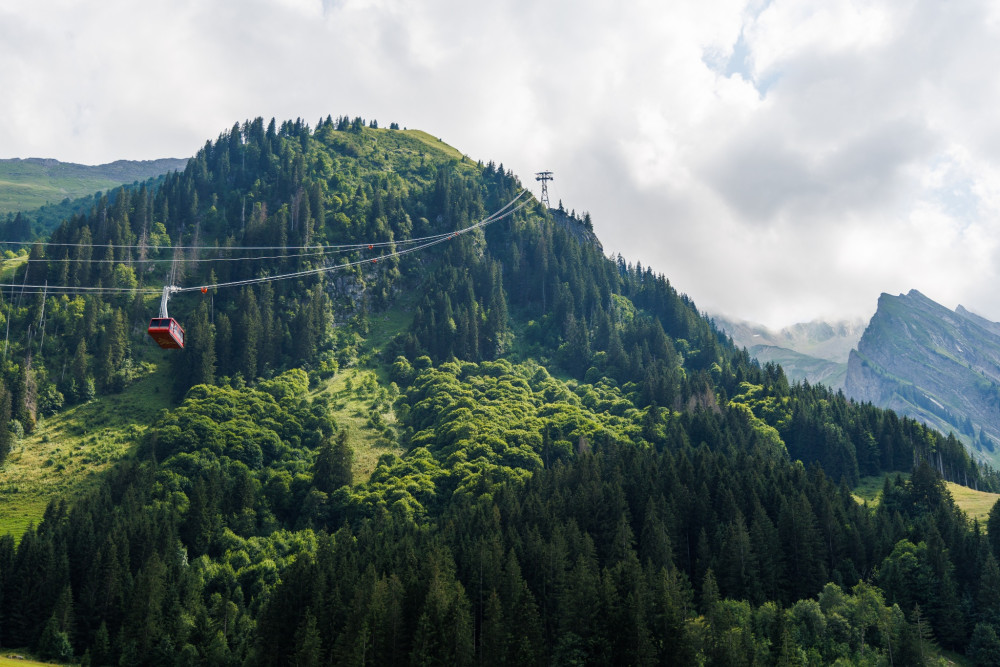
Luftseilbahn Brienzer Rothorn
Auf das Brienzer Rothorn, den höchsten Punkt des Kantons Luzern, gelangen Sie bequem in weniger als 10 Minuten mit der Luftseilbahn.
Infrastructure SummerInfrastructure WinterFunicular
Swiss Parks Network
Monbijoustrasse 61
CH-3007 Berne
Tel. +41 (0)31 381 10 71
Mob. +41 (0)76 525 49 44
info@parks.swiss


UNESCO Biosphäre Entlebuch -
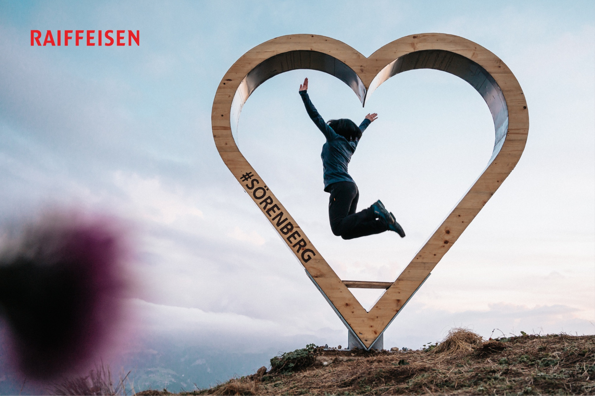
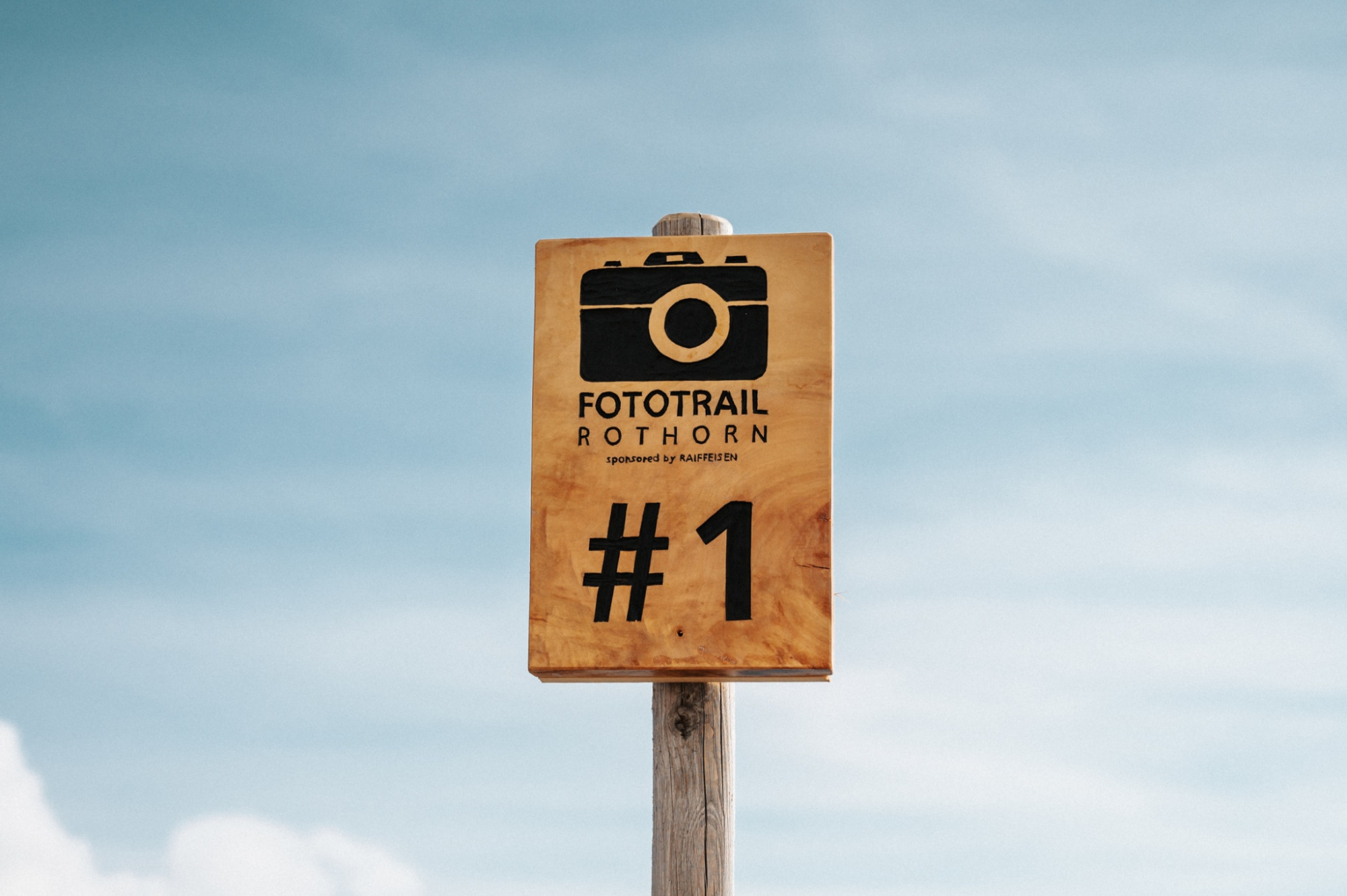
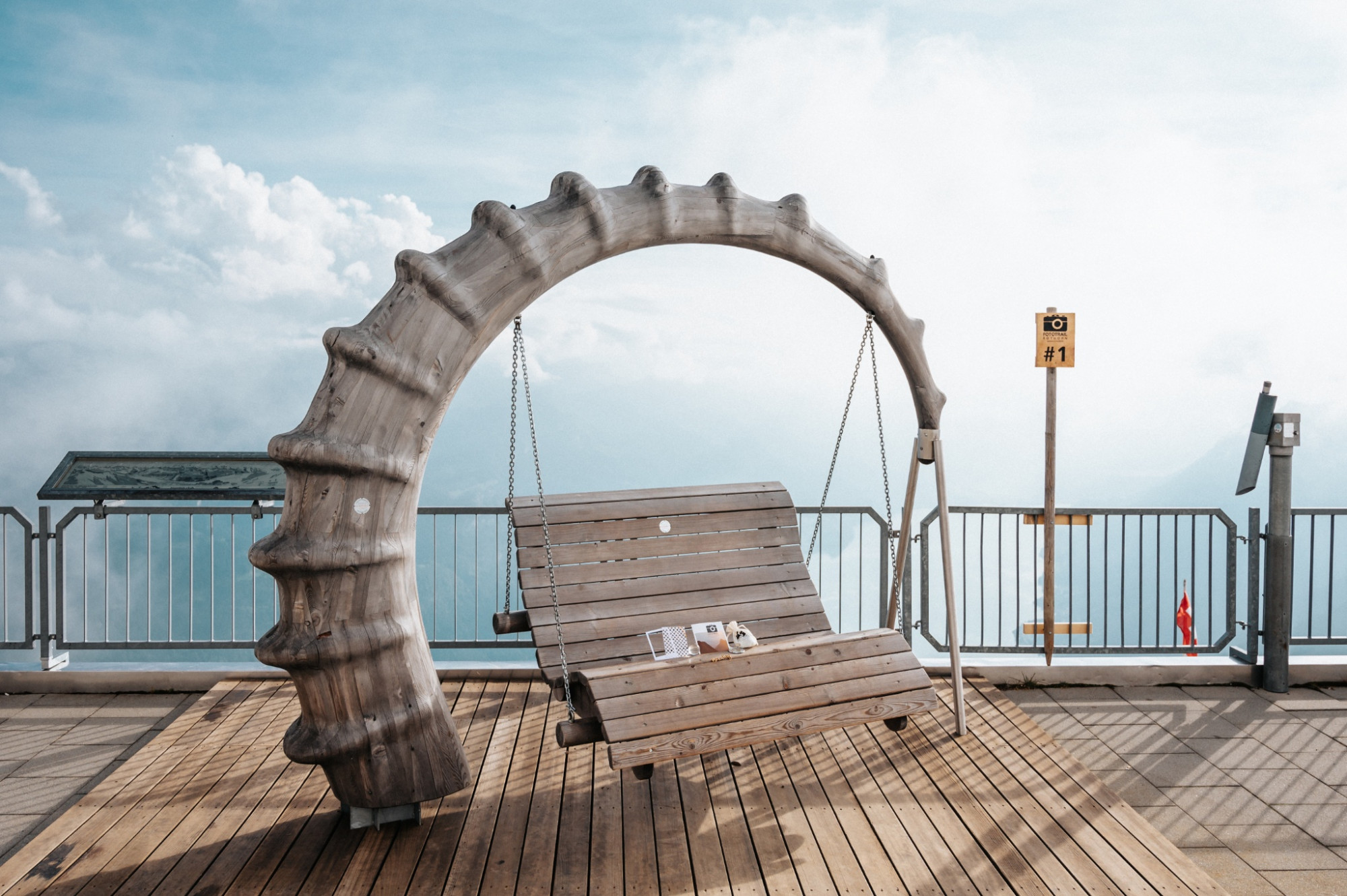
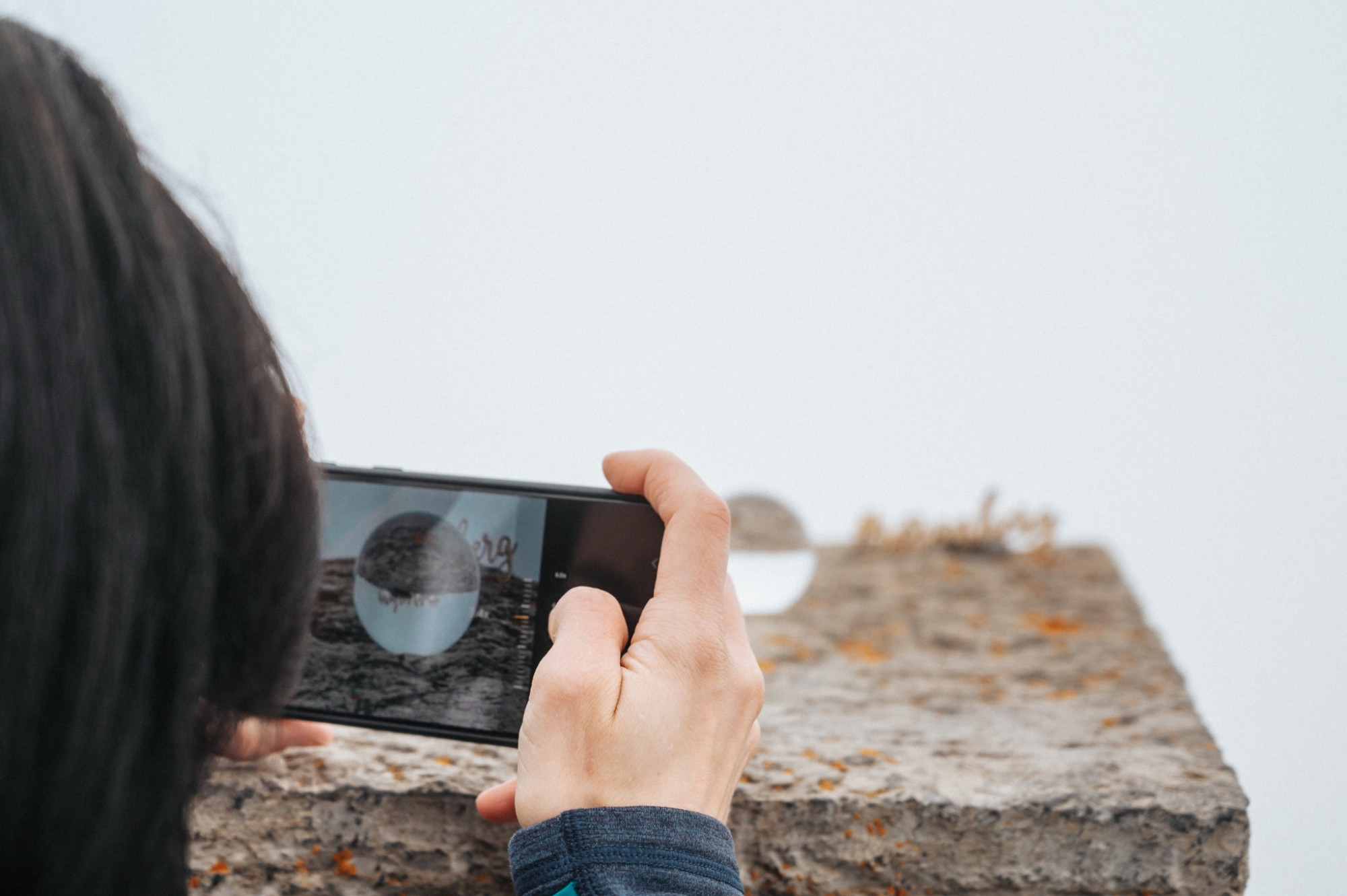
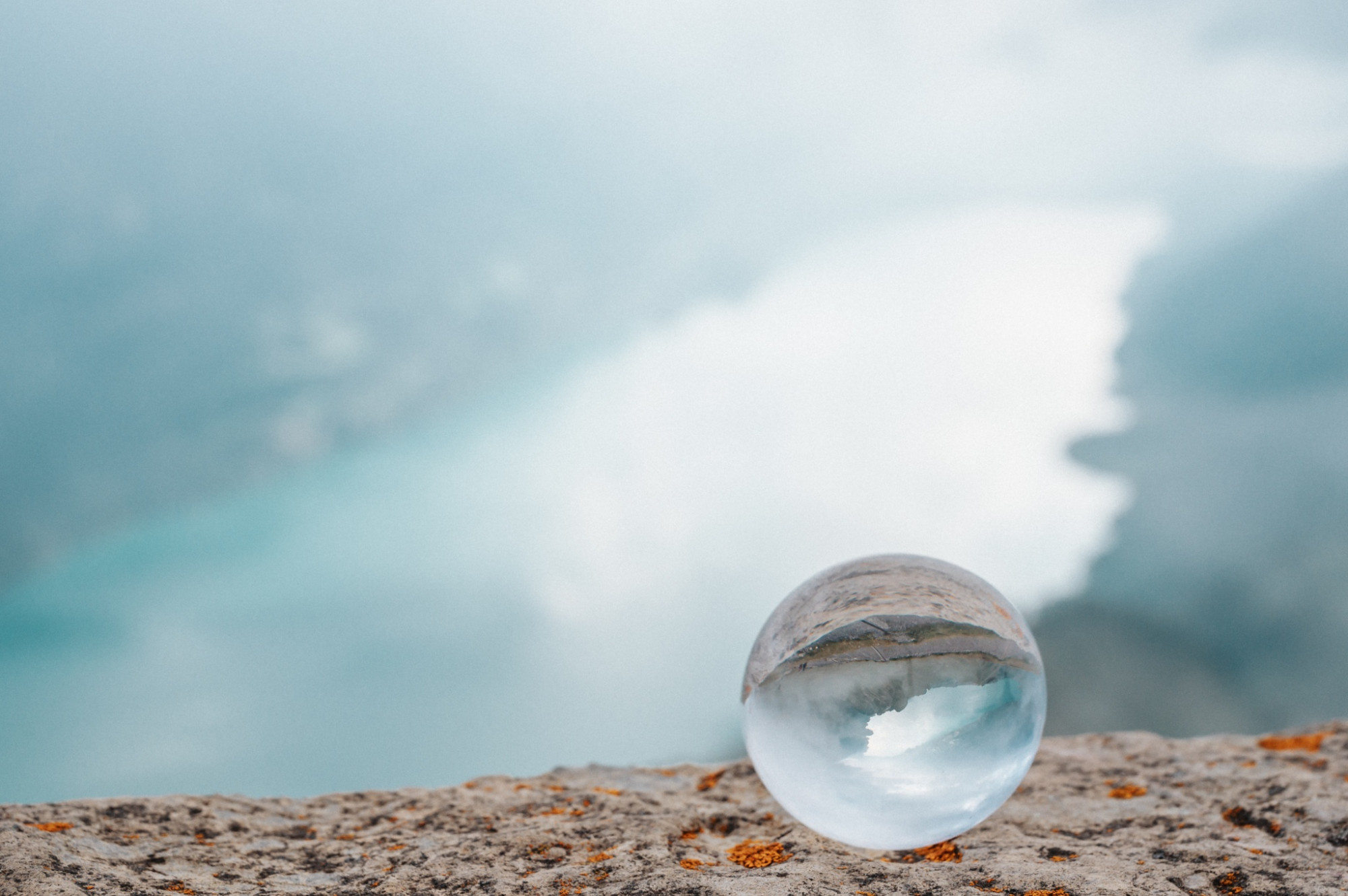
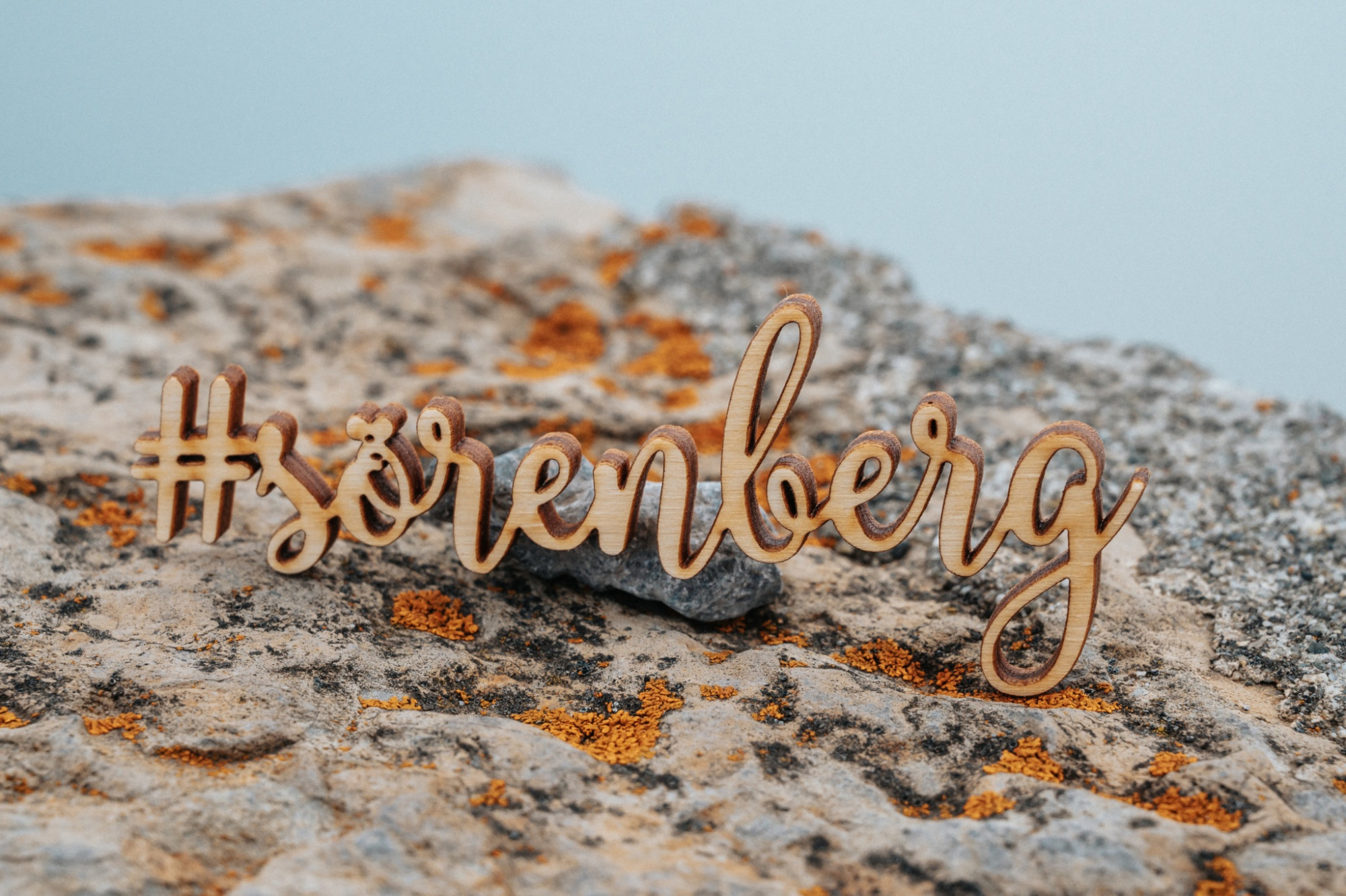
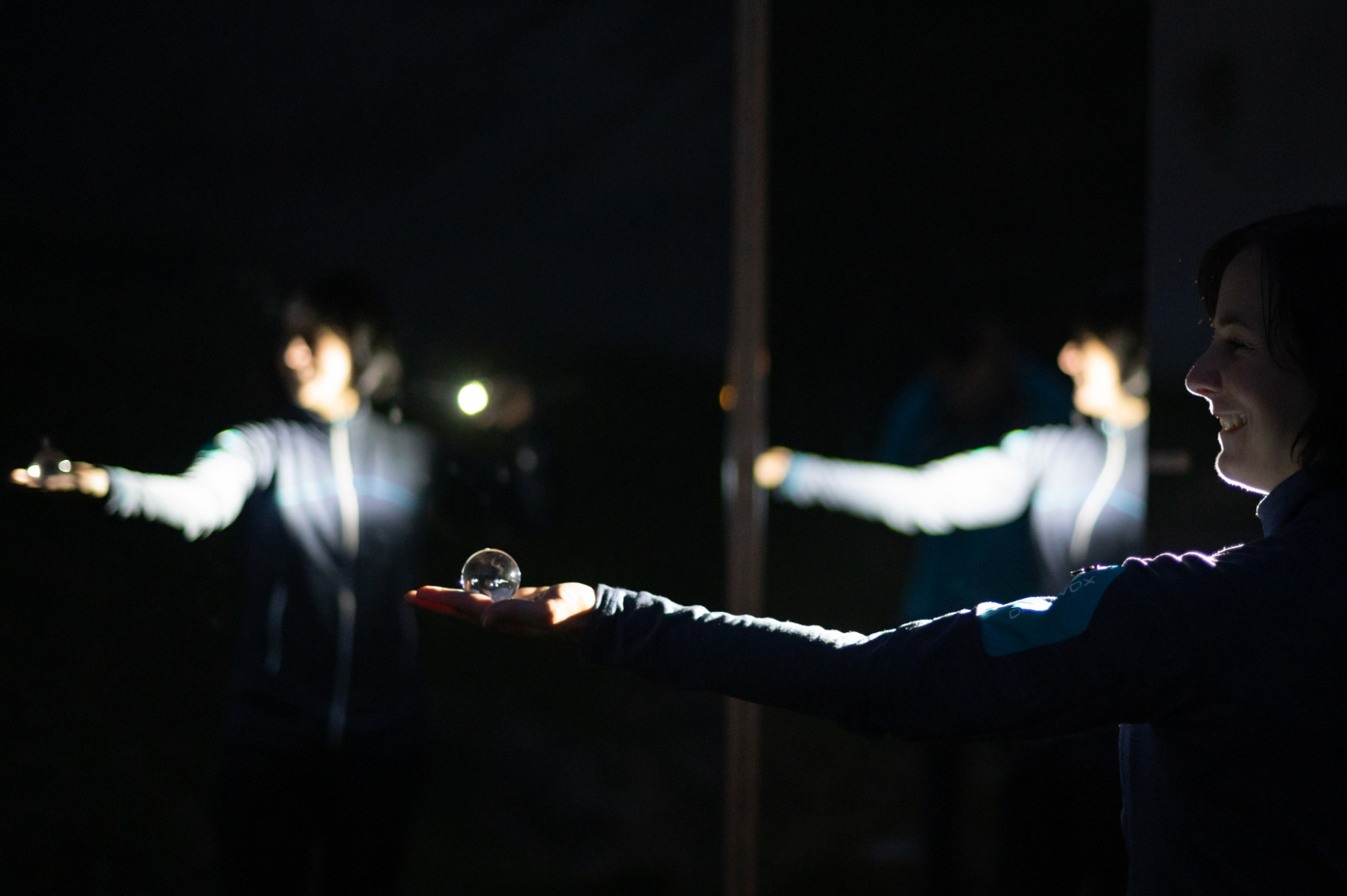
The highest peak in Lucerne – the Brienzer Rothorn – has moved its hikers since time immemorial. The Fototrail Rothorn creates even more moving moments. On the circular route, six photo stations offer unique motifs to create moving pictures. Physical activity is also guaranteed on the mountain hiking trail!
Opening hours
The Fototrail Rothorn is open daily during the summer season on the Brienzer Rothorn of Bergbahnen Sörenberg AG. More information can be found here.
Prices
The Fototrail is free of charge. You can reach the start and end point of the Fototrail comfortably with the Sörenberg - Brienzer Rothorn aerial cableway. For the way from Eisee back to Brienzer Rothorn, we recommend the Eisee chairlift; the pedestrian ticket can be purchased in the online shop or at the valley station of the aerial cableway.
Offers
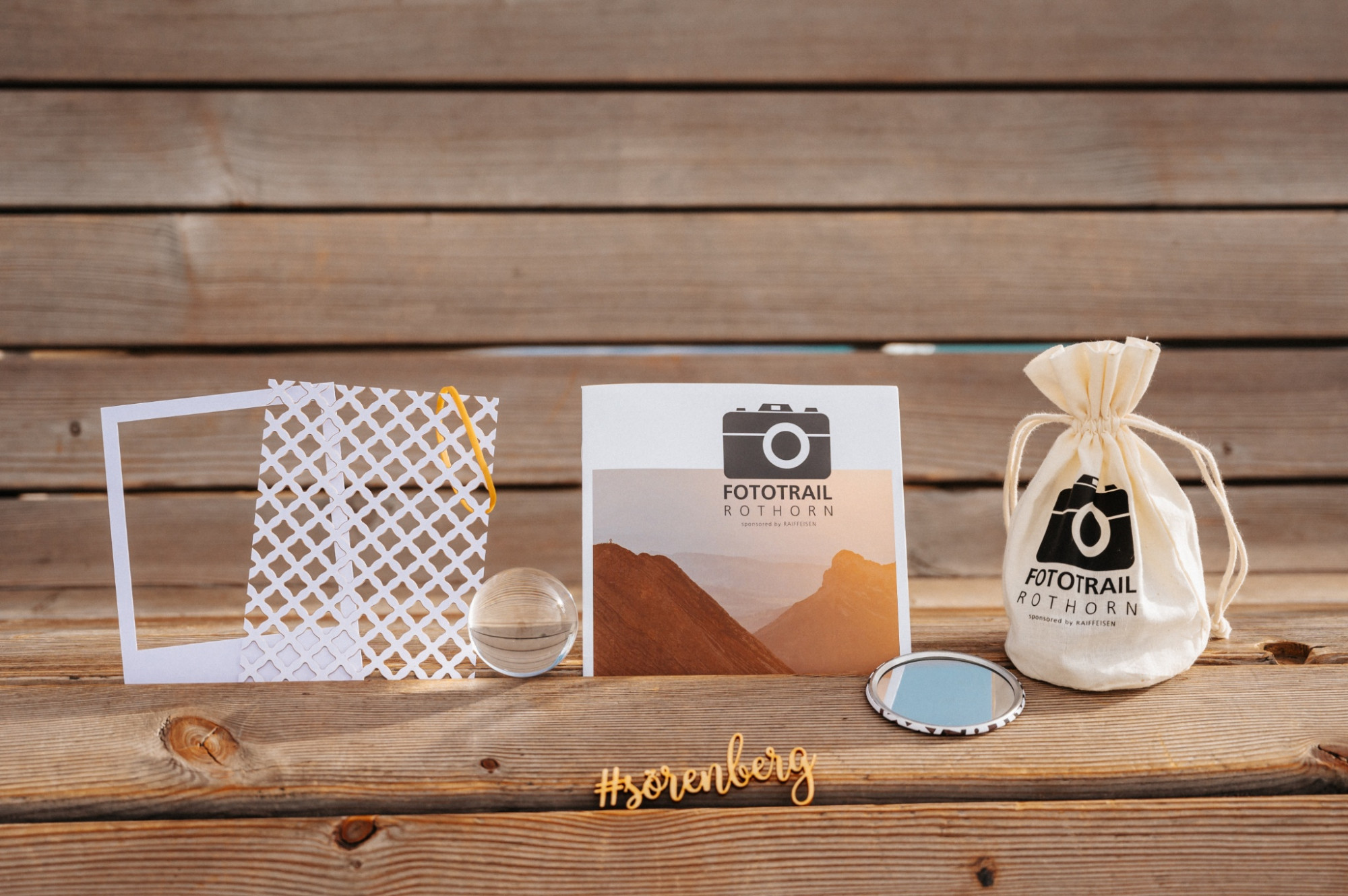
The photo kit for CHF 19.50 contains the matching gadget for each photo station. Use these to achieve even more exciting, creative, and diverse photos. Additionally, you will find challenging photo challenges and instructive photography tips for each photo station in an accompanying small booklet. The photo kit can also be purchased in the online shop. You will receive the photo kit at the valley station with the order confirmation.
Equipment
All stations can basically be done with a current smartphone. However, a camera offers many more possibilities and allows you to switch from automatic to manual mode.
Also discover our winter Fototrail, where five staged photo stations await you on the winter hiking circular route Rossweid-Schwarzenegg in the magical winter wonderland!
Bergbahnen Sörenberg AG
Hinterschöniseistrasse 4
CH-6174 Sörenberg
Phone +41 (0)41 488 21 21
www.soerenberg.ch
Good footwear, rain jacket & enough drinking water for the way are part of every hike.
More tips for safe hiking, information about suckler cow herds and protection dogs and much more can be found on the website of the Swiss Hiking Routes.
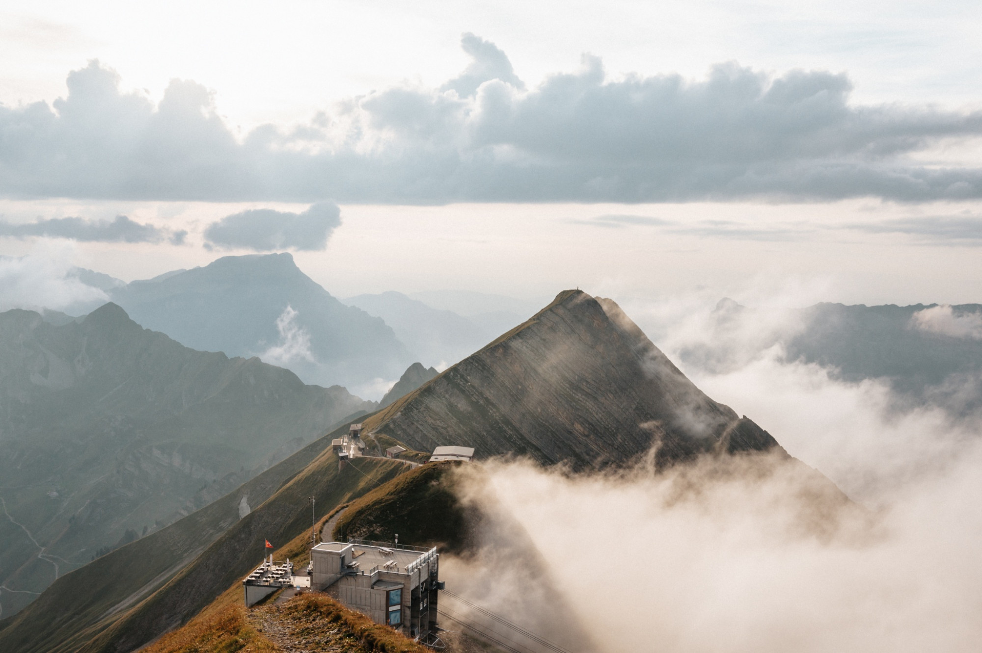
The hiking trail Brienzer Rothorn - Eisee is a mountain hiking trail. Mountain hiking trails often follow uneven ground over roots and stones, are sometimes slippery, with high steps both uphill and downhill.
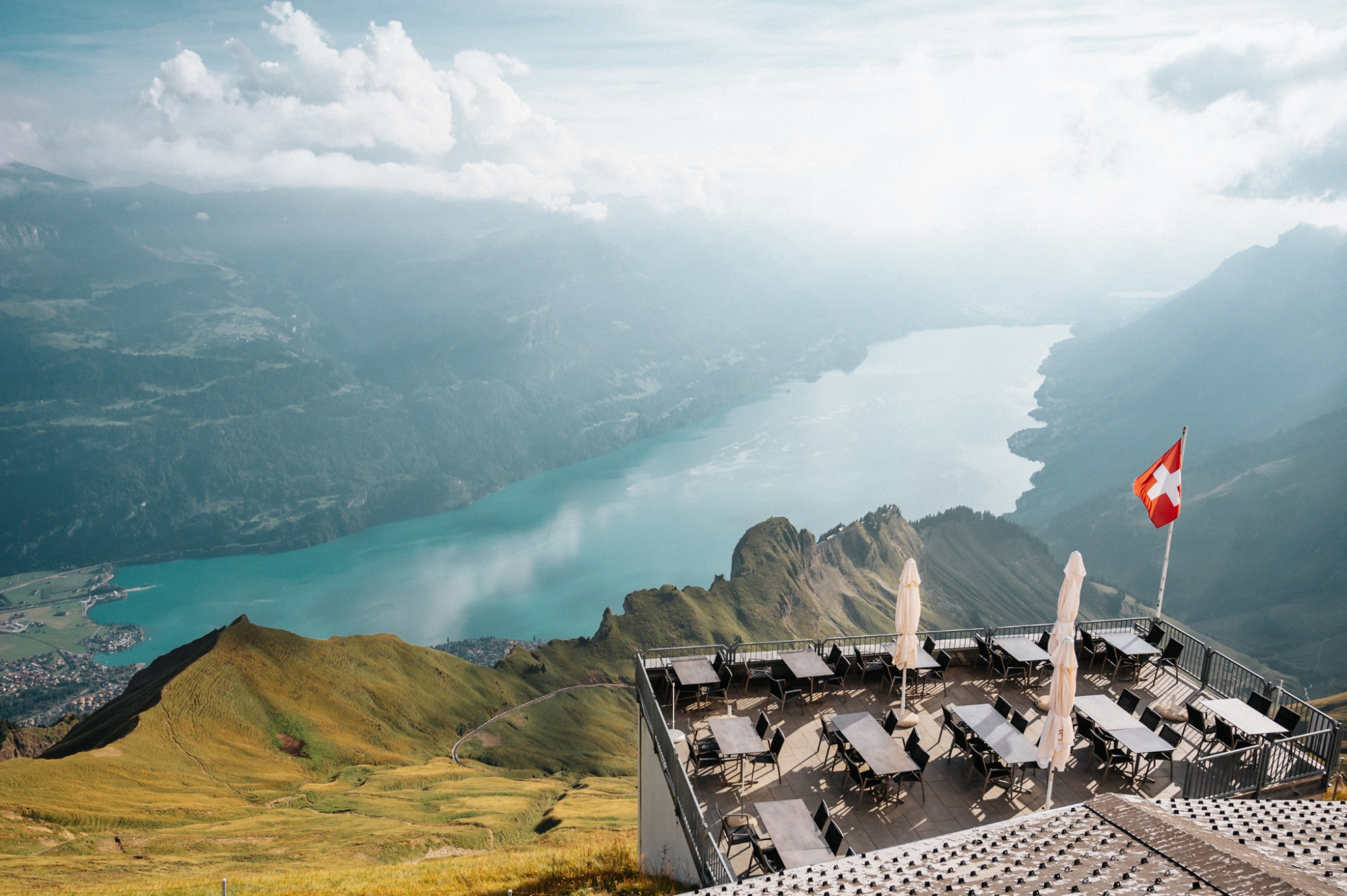
Brienzer Rothorn mountain station – Brienzer Rothorn summit platform – Eisee saddle – Eisee mountain guesthouse – Eisee – Eisee chairlift connecting tunnel - Brienzer Rothorn
Auf das Brienzer Rothorn, den höchsten Punkt des Kantons Luzern, gelangen Sie bequem in weniger als 10 Minuten mit der Luftseilbahn.
Geniessen Sie von der Gipfel-Terrasse oder im Restaurant mit Panoramafenstern die unglaubliche Aussicht.
Mountain hike starting from a scenic viewpoint on the highest mountain in Lucerne.