
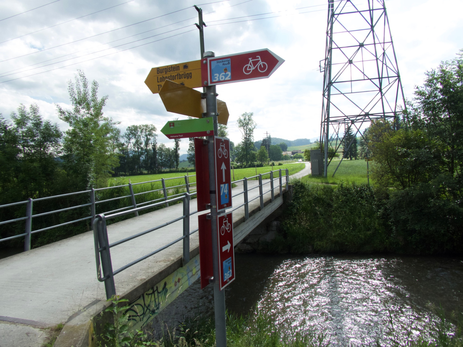
Stockental route (SchweizMobil 362)
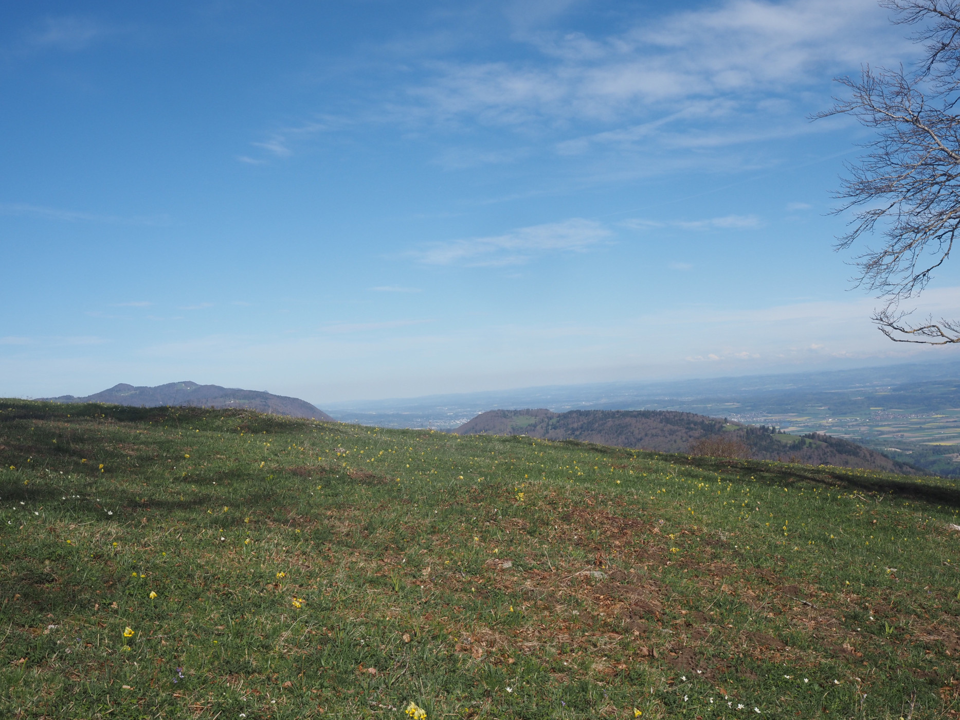
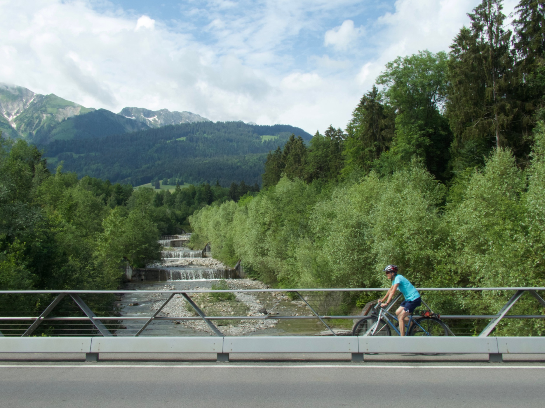
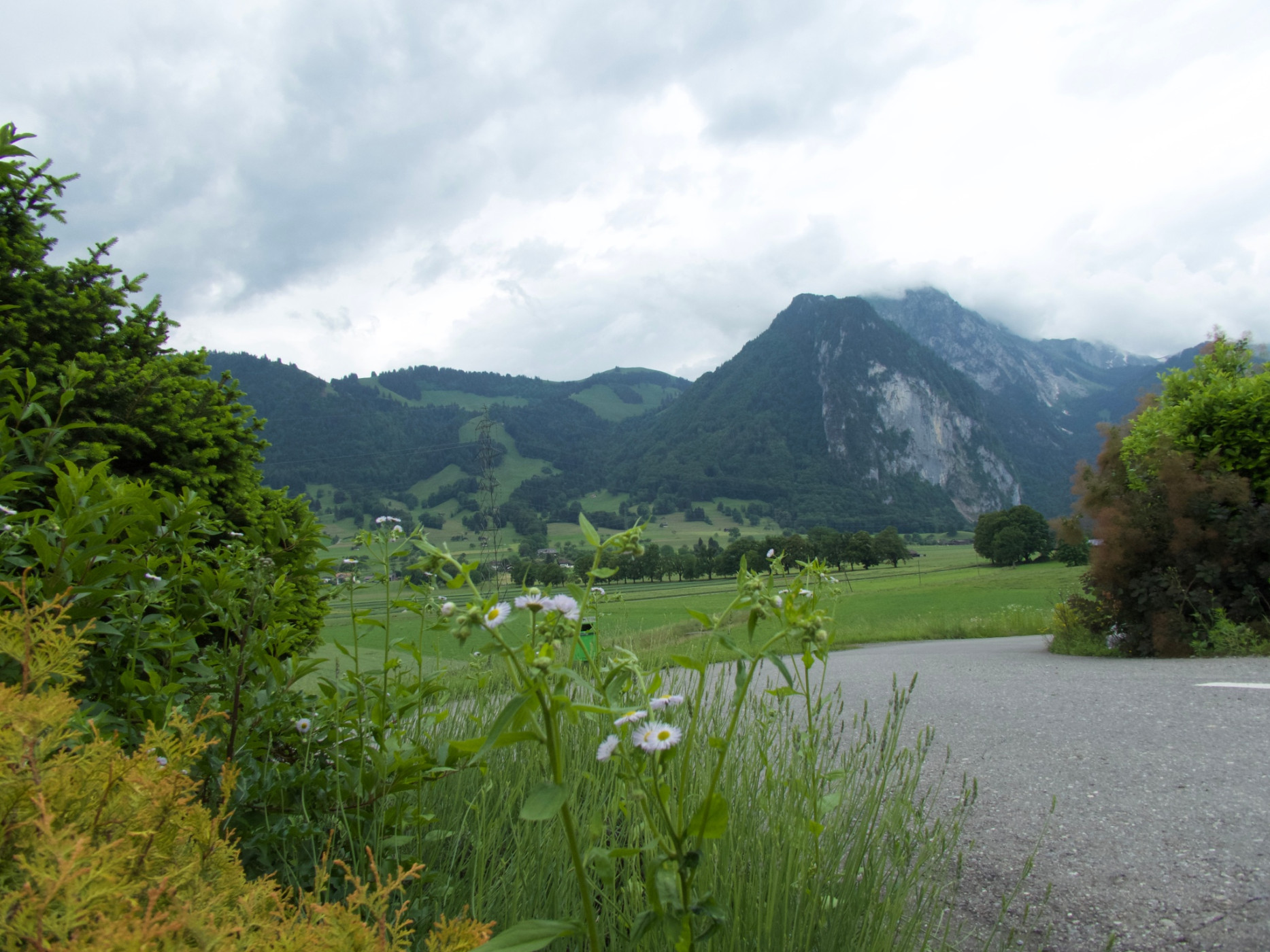
Naturpark Gantrisch - The Stockental route leads over Uetendorfberg to Wattenwil on the Gürbe. Along the Stockhorn chain, there is a beautiful view into the Stockental and the Bernese Alps.
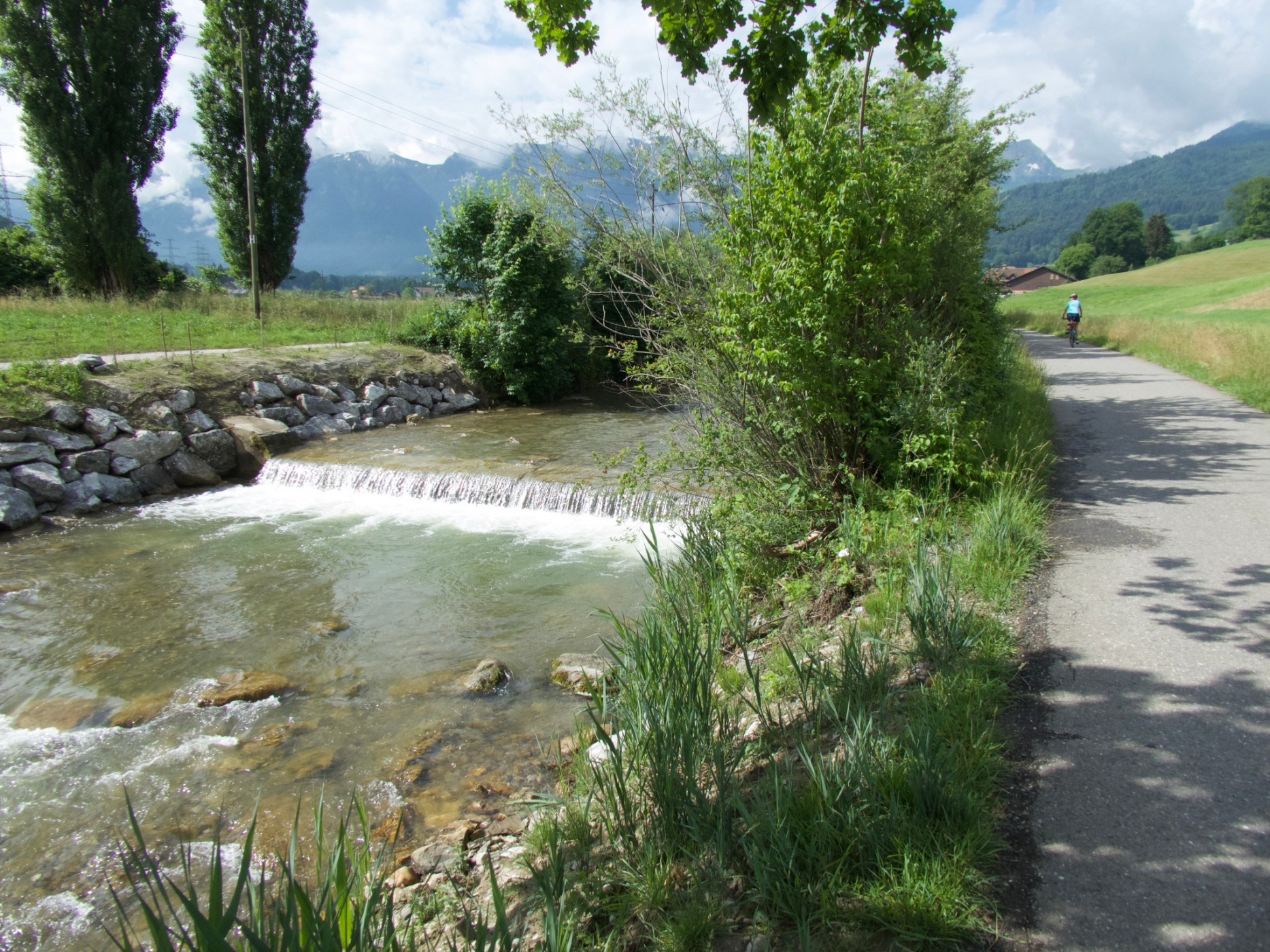
Across hilly terrain, the path leads past Geistsee, along the Gürbe to Wattenwil. Afterwards, the path runs along the left valley slope with a beautiful view into the Gürbetal and the Bernese Alps.
At the upper edge of the village of Blumenstein, you reach the turnoff to the Blumenstein church. The church, cemetery, and Pfund barn are definitely worth the short and steep climb.
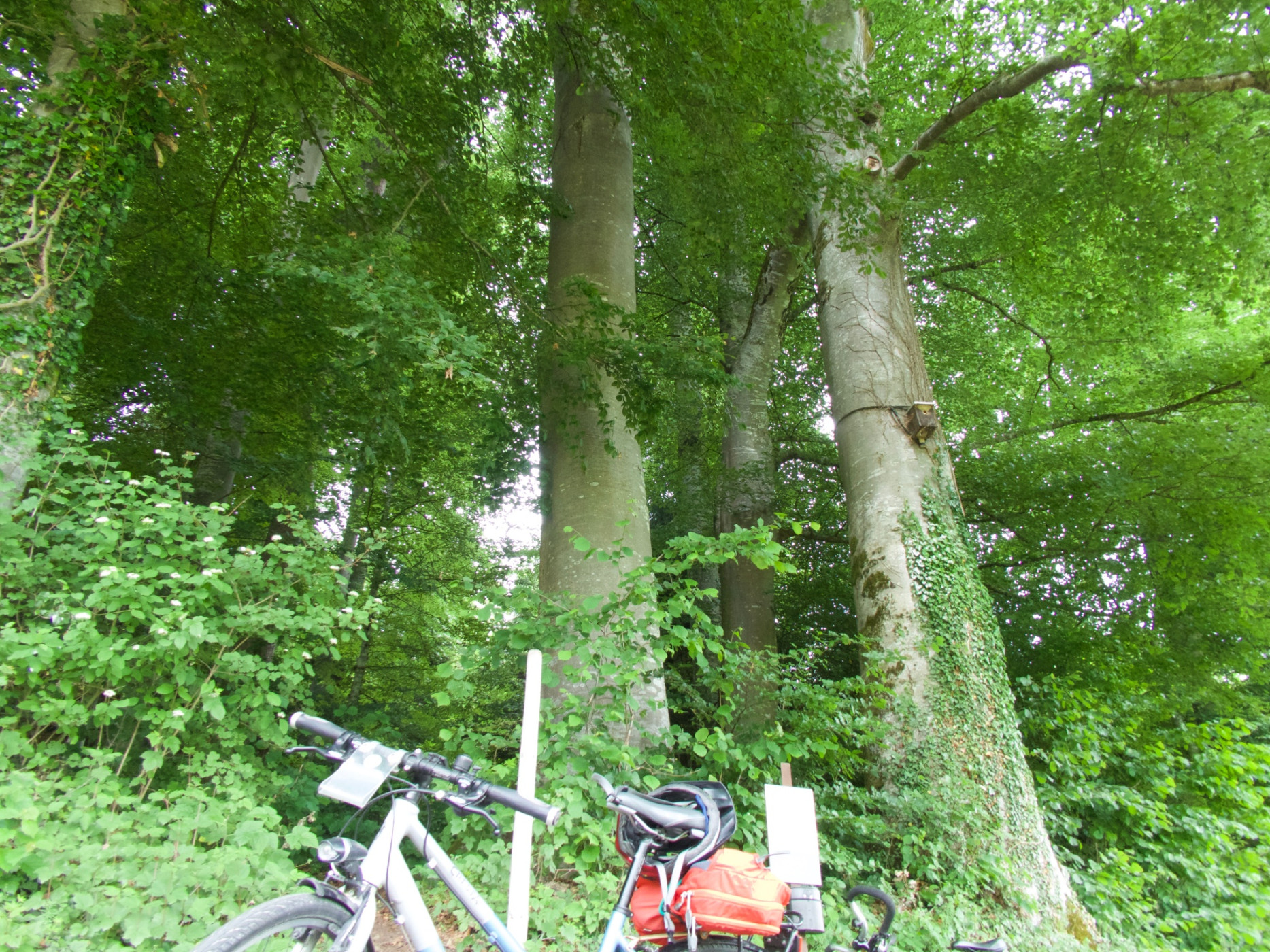
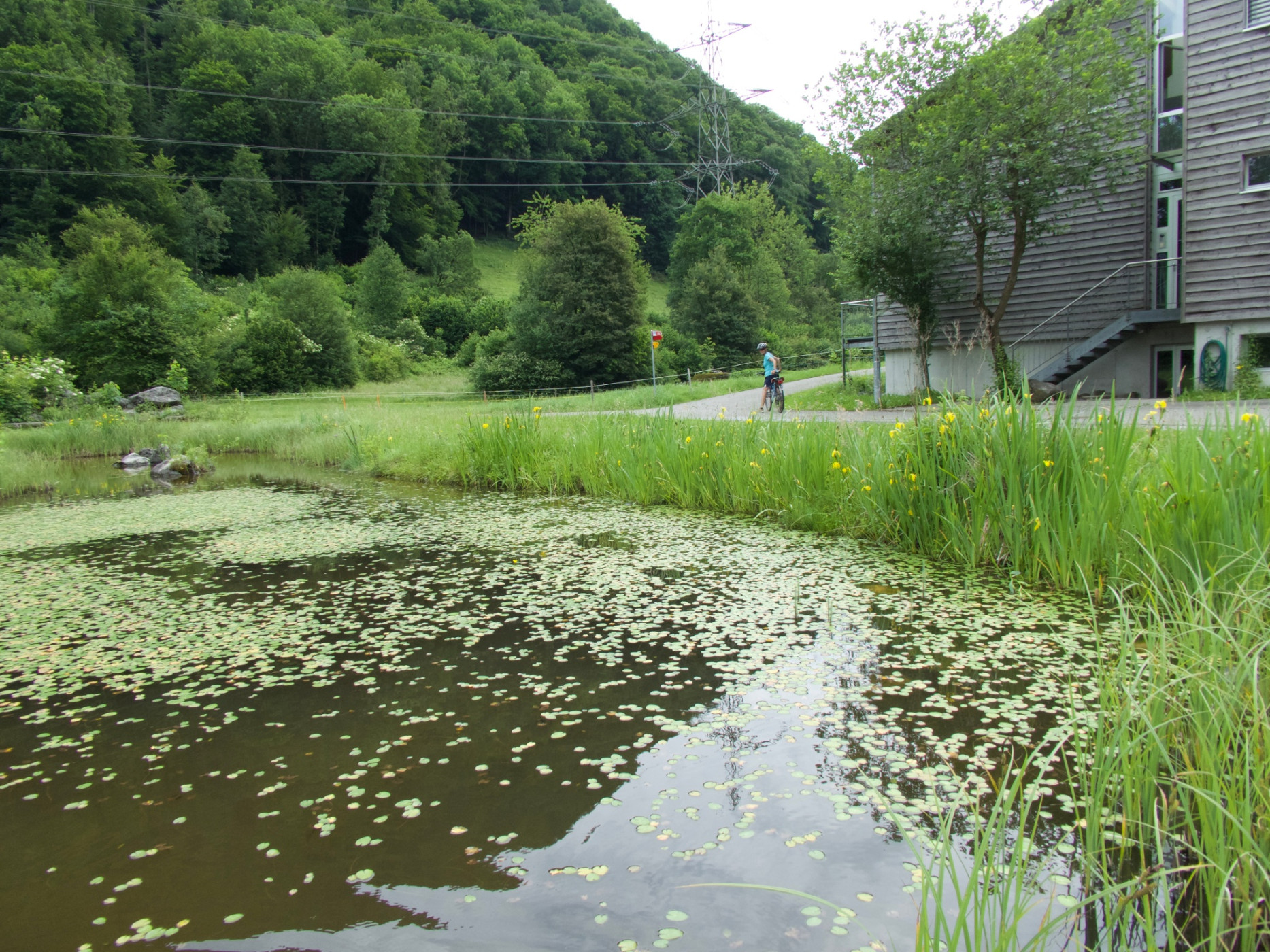
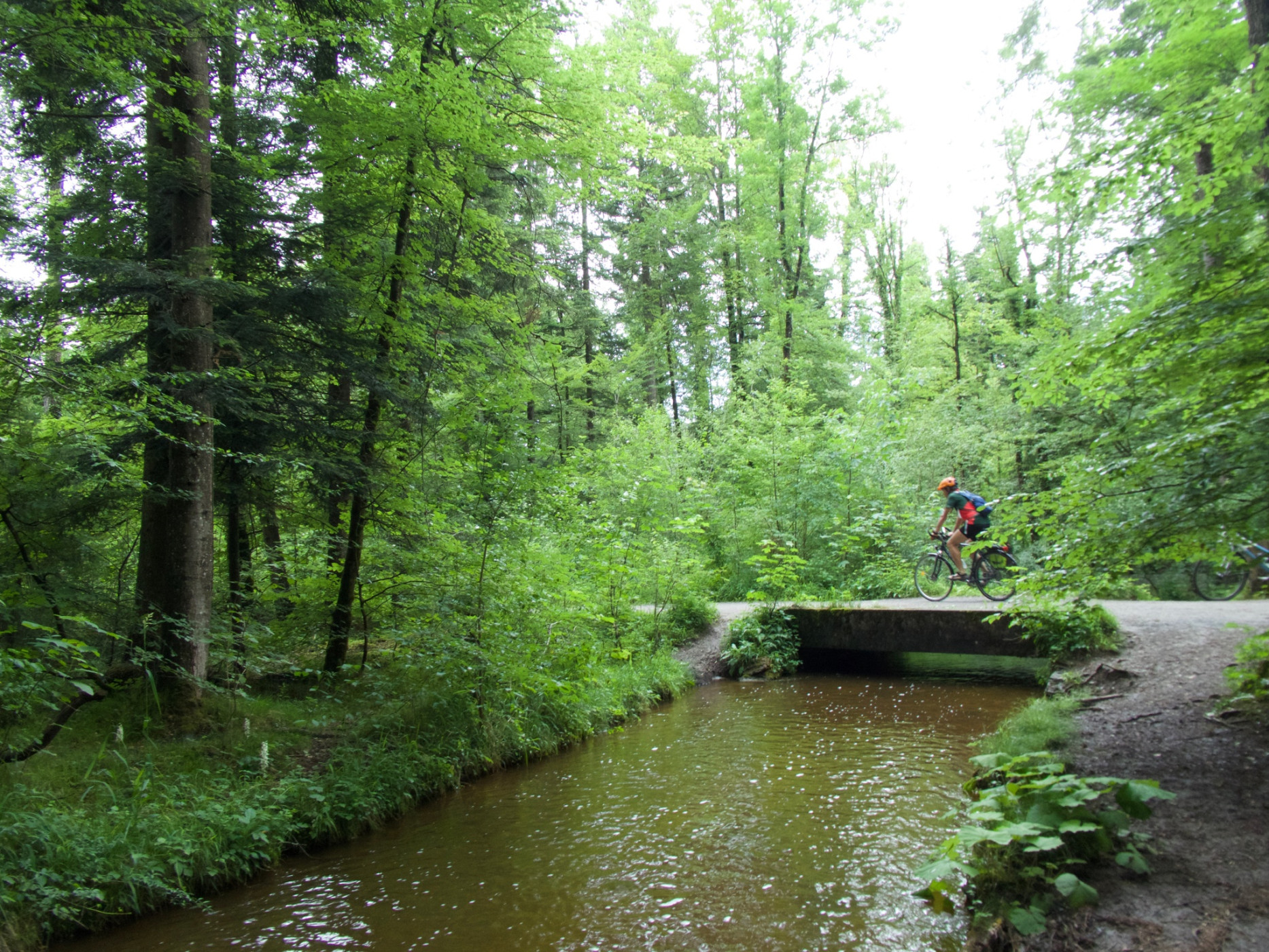
It continues along the northern slope of the Stockhorn chain to Niederstocken. A ride through Seeliswald, a small protected raised bog with carnivorous sundew, leads you into the Glütschbachtal – in the middle, a nice shady grill and rest area by the water. The last part follows the Amsoldinger and Uebeschi lakes back to Uetendorf.
Route-information
Route-information
- Length
- 41.12 km
- Altitude difference ascent
- 377 m
- Altitude difference descent
- 377 m
- Time required
- 3 hours
- Level technique
- Easy
- Level condition
- Middle
Details
Arrival
Arrival
- Starting point
- Bahnhof Uetendorf
- Arrival by public transport
- Uetendorf, Bahnhof Timetable SBB
- Destination
- Bahnhof Uetendorf
Suitable for
The offer is suitable for
- Adults
- 50+
Season
April, Mai, June, July, August, September, October, NovemberContact
Naturpark GantrischFörderverein Region Gantrisch
Schlossgasse 13
3150 Schwarzenburg
Tel. +41 (0)31 808 00 20
www.gantrisch.ch