


Walk Selibüelhoger South Route
Naturpark Gantrisch - For a walk around Selibühl, there are two different options. The south route as well as the north route.
The south route is a varied circular hike over the Selibühl, a popular viewpoint above the watershed.
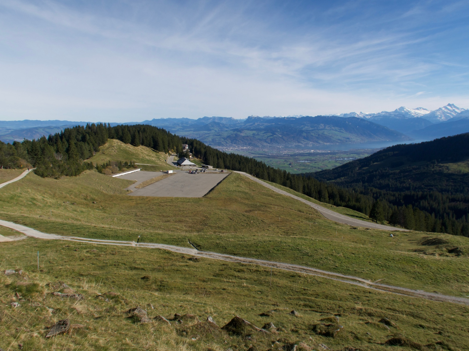
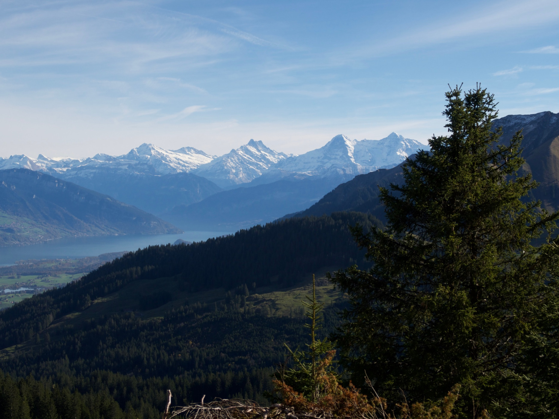
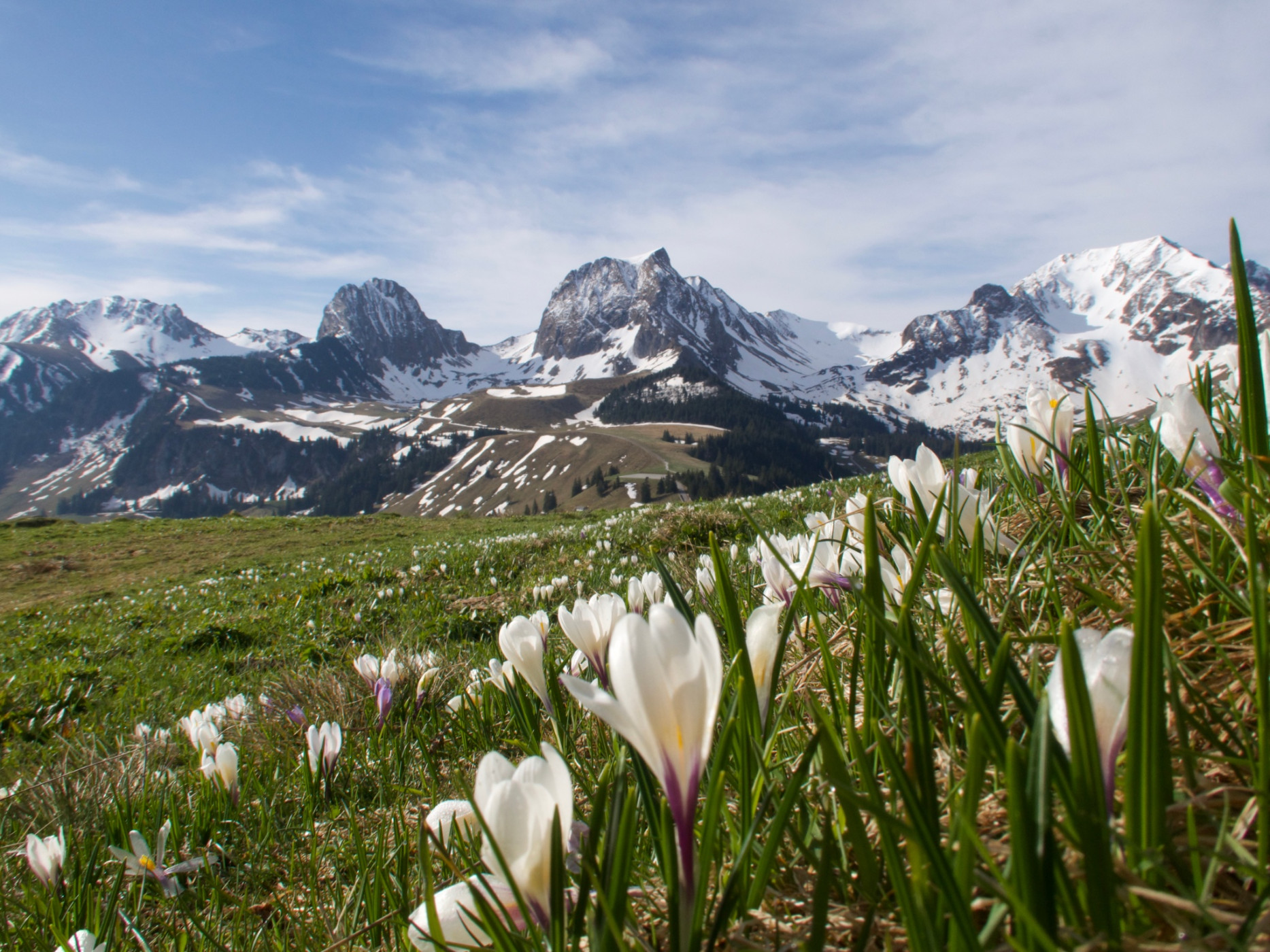
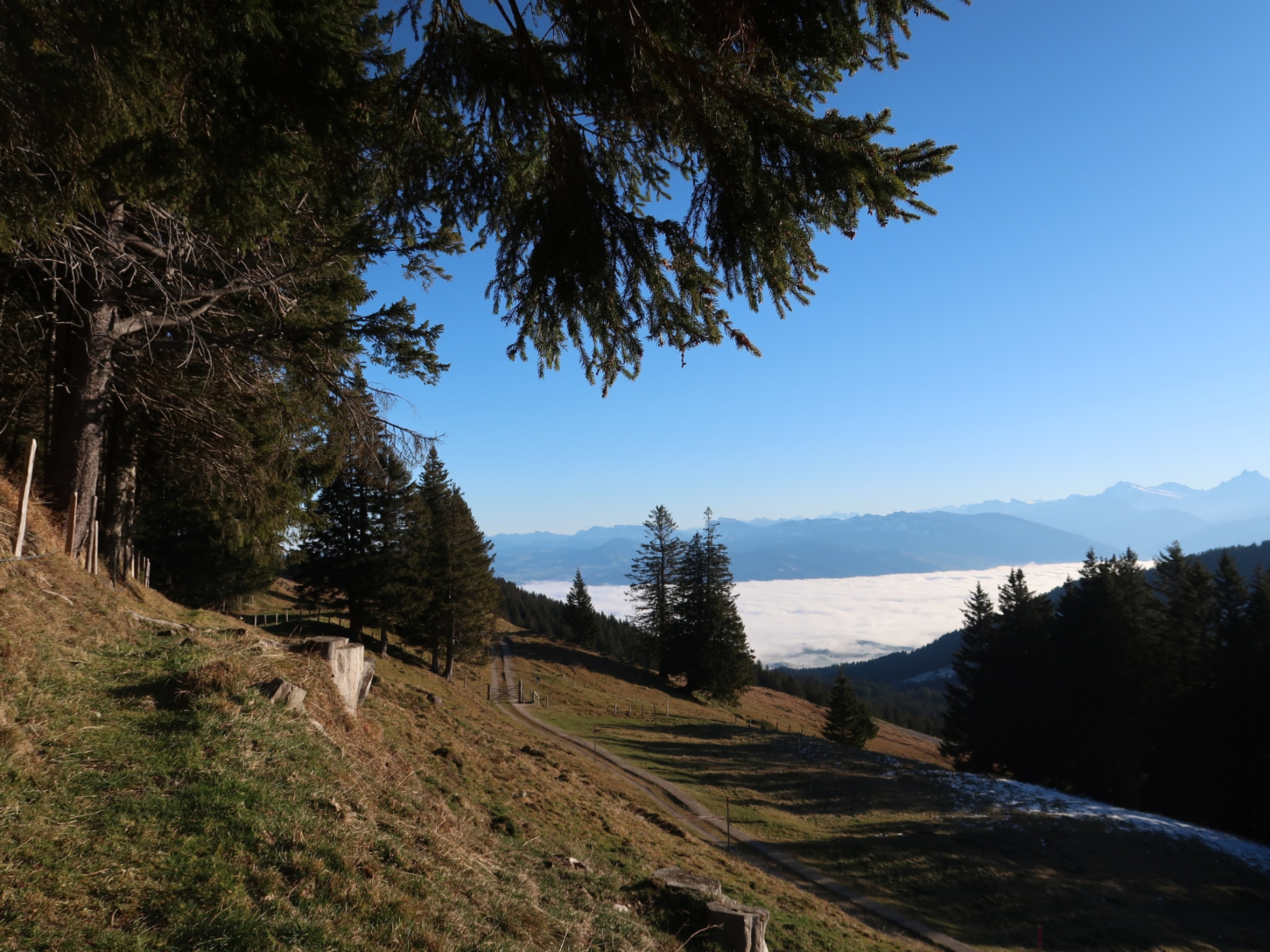
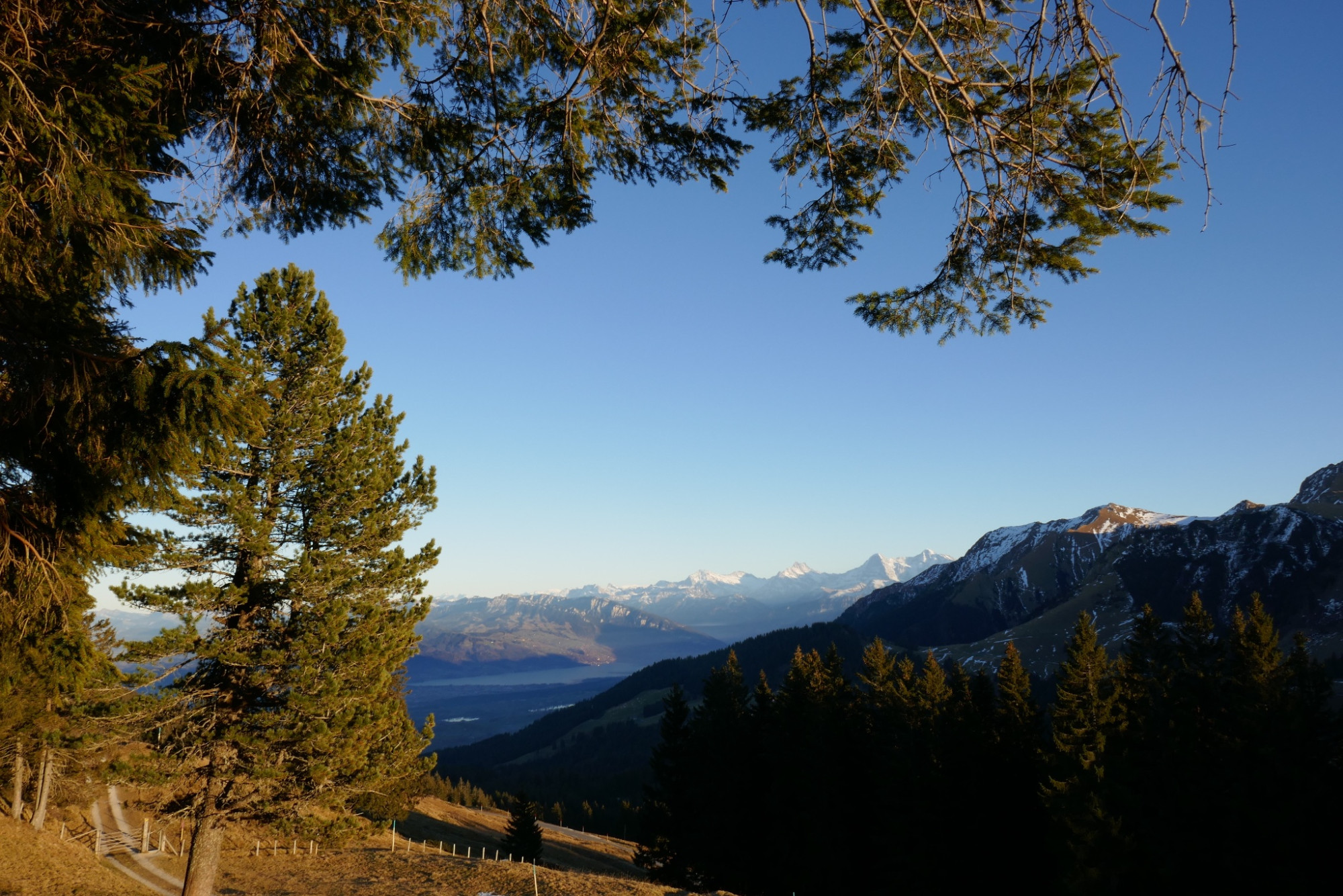
From the stop or the Stierenhütte car park, follow the hiking trail towards Alp Selibühl. Soon the view opens onto Lake Thun, the Bernese Alps and the Emmental – on clear days as far as central Switzerland. At the same time, the striking limestone peaks of the Gantrisch range come into view.
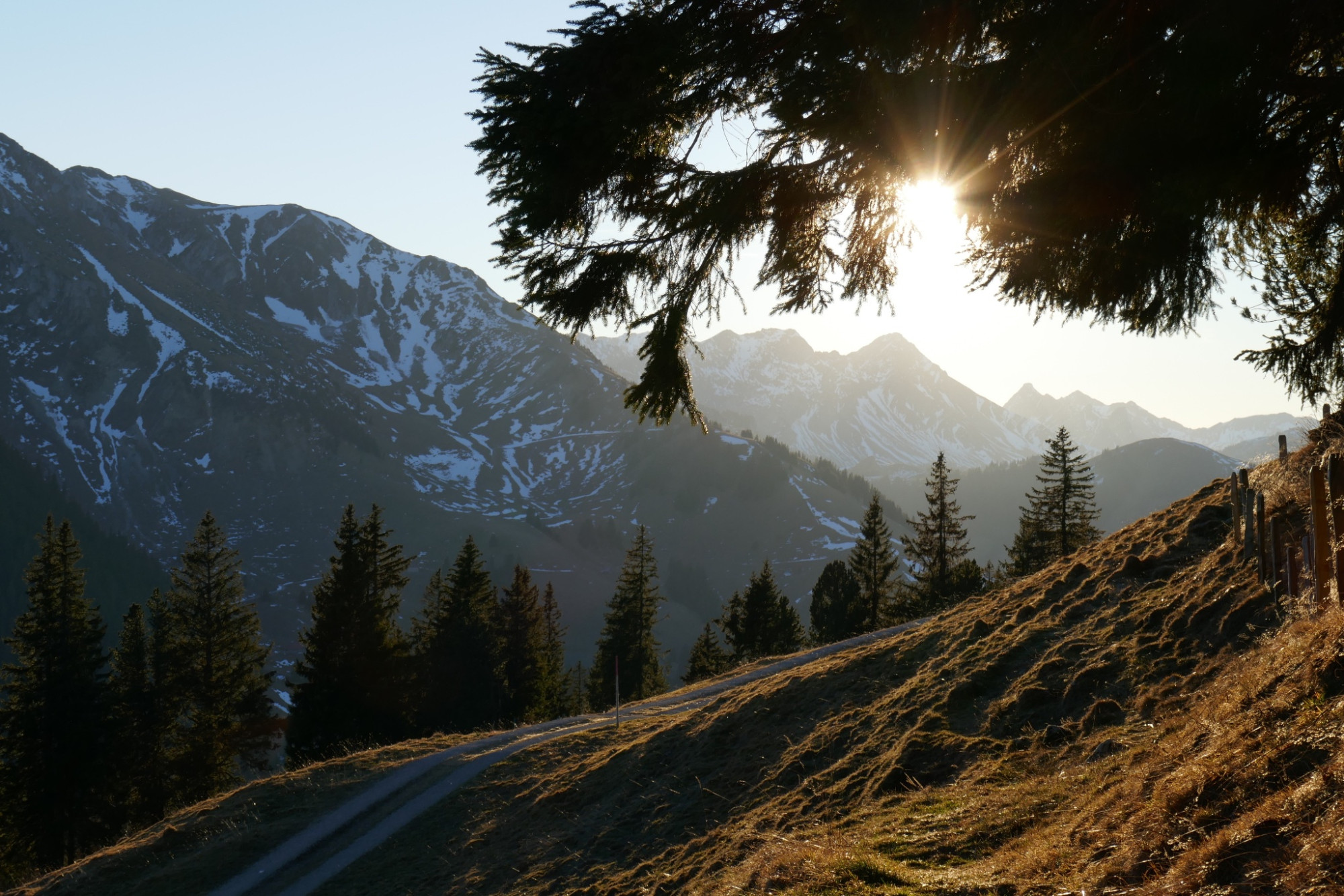
Past Alp Selibühl, where the upper hut is occasionally staffed, the path continues to the scenic hill of Selibühl. The ascent is rewarded with an impressive panoramic view.
The descent follows the broad north ridge along the so-called Engländerwägli: a historic hiking trail section from the heyday of the Hotel Gurnigelbad, when mainly English tourists visited the area. At the fork in Gaucheit, you can choose between the north or south route for the return.
On the southern loop, there are repeatedly impressive views of the nearby Gantrisch mountains. From Alp Selibühl, follow the already familiar ascent path back to Stierenhütte.
Route-information
Route-information
- Length
- 3.61 km
- Altitude difference ascent
- 133 m
- Altitude difference descent
- 132 m
- Time required
- 1 hour 10 minutes
- Level technique
- Easy
- Level condition
- Easy
Details
Route with Switzerland Mobility
Equipment / Equipment rent
Weather-appropriate clothing
Arrival
Arrival
- Starting point
- Parkplatz Stiereberg
- Arrival by public transport
- Gurnigel, Stierenhütte Timetable SBB
- Destination
- Parkplatz Stiereberg
Suitable for
The offer is suitable for
- Adults
- Children < 6 years
- Children from 7-12 years
- Children >12 years
- Families
- Groups
Season
Mai, June, July, August, September, OctoberContact
Naturpark GantrischFörderverein Region Gantrisch
Schlossgasse 13
3150 Schwarzenburg
T +41 (0)31 808 00 20
www.gantrisch.ch