
Badger trail
Naturpark Pfyn-Finges - The starting point of the circular route is in Agarn. Follow the signposts with the badger. These will lead you to Unterems, Tuminen via Chrixhubel to Turtmann and back to Agarn.
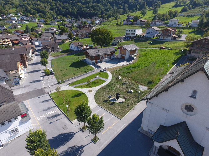
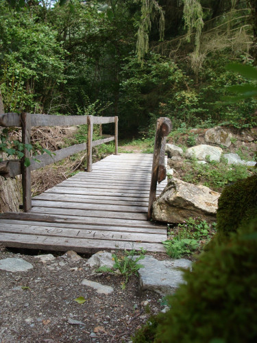
The Badger Trail starts in the center of the village of Agarn (630m) at the Rosenkranz Chapel, which is located approximately in the middle of the village, and leads through narrow alleyways. Walk southwards towards the forest. Take a short break on the "Rubitschibiel" (814m), where the valley at your feet stretches from Montana to Visp. A signpost will give you some information about badgers. Continue over the "Black Field", so named because of the dark soil, to the beautiful village of Unterems (1002m). Along colorful flowering meadows you will reach the valley path and then down to the hamlet of "Tuminu". From there, the hiking trail leads to the "Heidnischbiel" (782m) and on to the "Kreuzhubel", where you can view the village of Turtmann from above. The descent to Turtmann follows a zig-zag path, where the "Alte Säge Turtmann" (Old Sawmill Turtmann), is a witness to times long past, and shows how our ancestors utilised the power of water. A visit to the 42-metre tall Turtmann waterfall is just 10 minutes away and is a sight not to be missed. The trail continues back to the "Schützenlaube" and the "Kastleren Chapel" (727m), which is a place where many pilgrims draw strength. The final descent leads to the "Mühlackern" power station (620m). From here it's a leisurely walk back to the starting point in Agarn, where you can fortify yourself with food and drink in one of the restaurants.
Route-information
Route-information
- Length
- 11.10 km
- Altitude difference ascent
- 535 m
- Altitude difference descent
- 535 m
- Time required
- 3 hours 30 minutes
- Level technique
- Easy
- Level condition
- Middle
Details
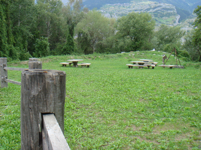
Possibilities for catering
Enjoy the patio of the Restaurant Edelweiss in Unterems.Signalization
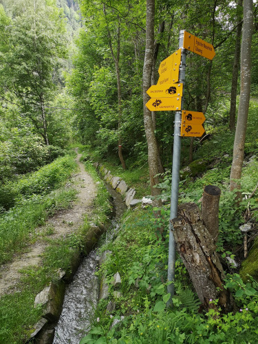
The signposts are marked with a badger. Simply follow the badger.Infrastructure
Take a break at the Rubitschibiel viewing point, find out more about badgers on the information signs and enjoy the inviting view over the Rhone valley. In Turtmann, visit the old sawmill or the 42-metre-tall waterfall.
Arrival
Arrival
- Starting point
- Agarn (Altitude: 626 m)
- Arrival by public transport
- Agarn, Dorf Timetable SBB
- Destination
- Agarn (Altitude: 626 m)
Suitable for
The offer is suitable for
- Adults
- Children from 7-12 years
- Families