


Breccaschlund Panorama Trail (Switzerland Mobility 267)
Naturpark Gantrisch - The primeval landscape Breccaschlund, shaped by glaciers, fascinates in a mysterious way. A roughly four-hour, technically easy circular hike leads from the Riggisalp above Schwarzsee to the foot of imposing limestone cliffs. Afterwards, the route returns to the valley from alp restaurants to alp restaurants.
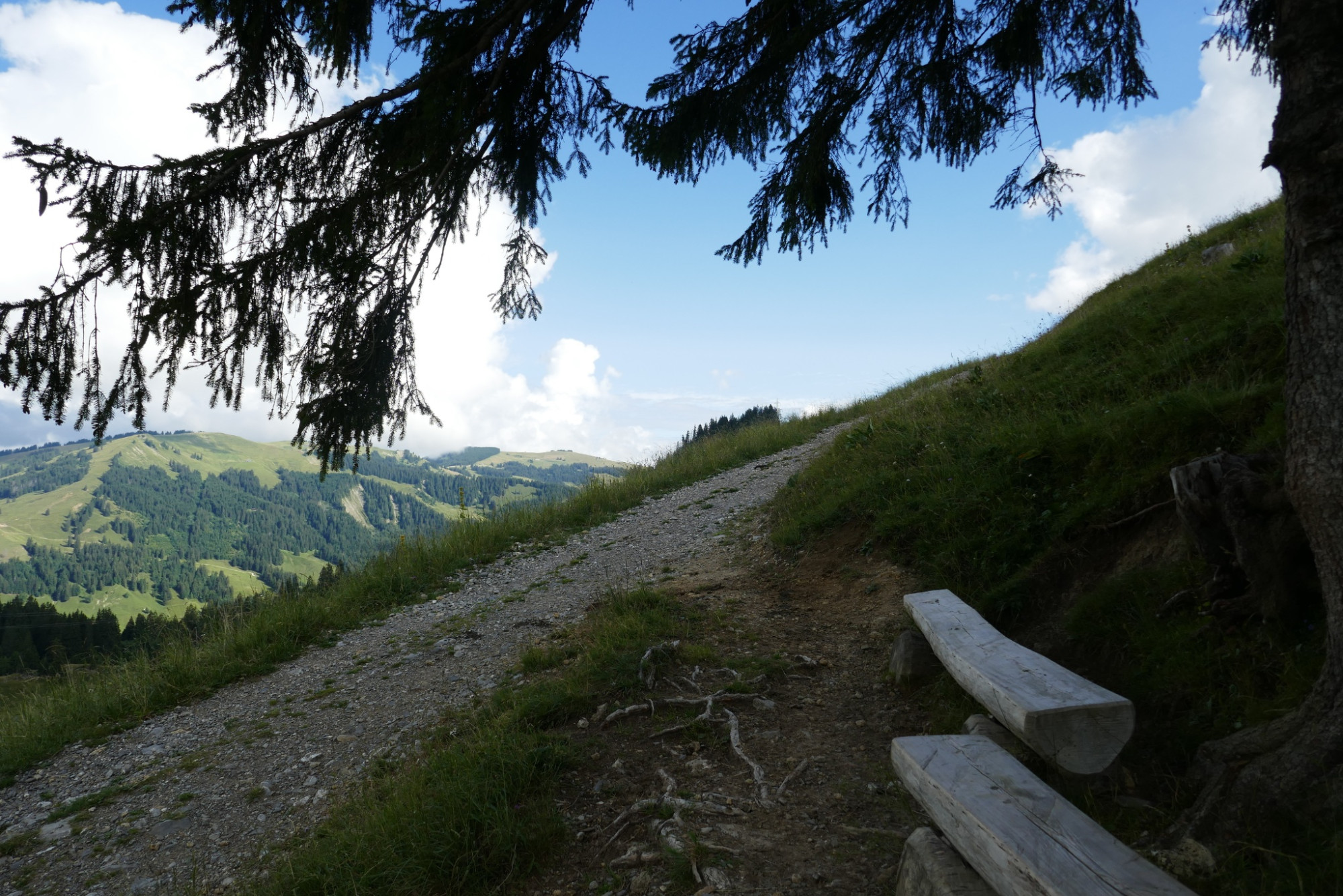
Long-melted glaciers have created a unique habitat for marmots, eagles, and orchids. In the primeval landscape with the alp huts, you feel one with nature again. Various paths lead into the Brecca primeval landscape area. The excursion starts at the beautiful Schwarzsee and can be well combined with a visit to the environmental exhibition at the Schwarzsee information center. From there, you can set out on foot or by the Kaisereggbahn cable car into the Brecca primeval landscape. The paths are marked with hiking trail signs. Along the way, display panels provide information about flora and fauna.
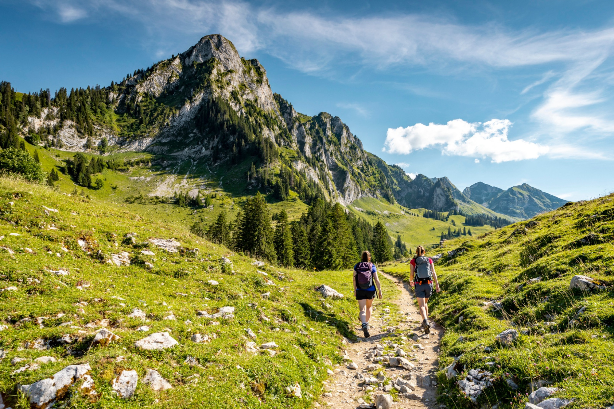
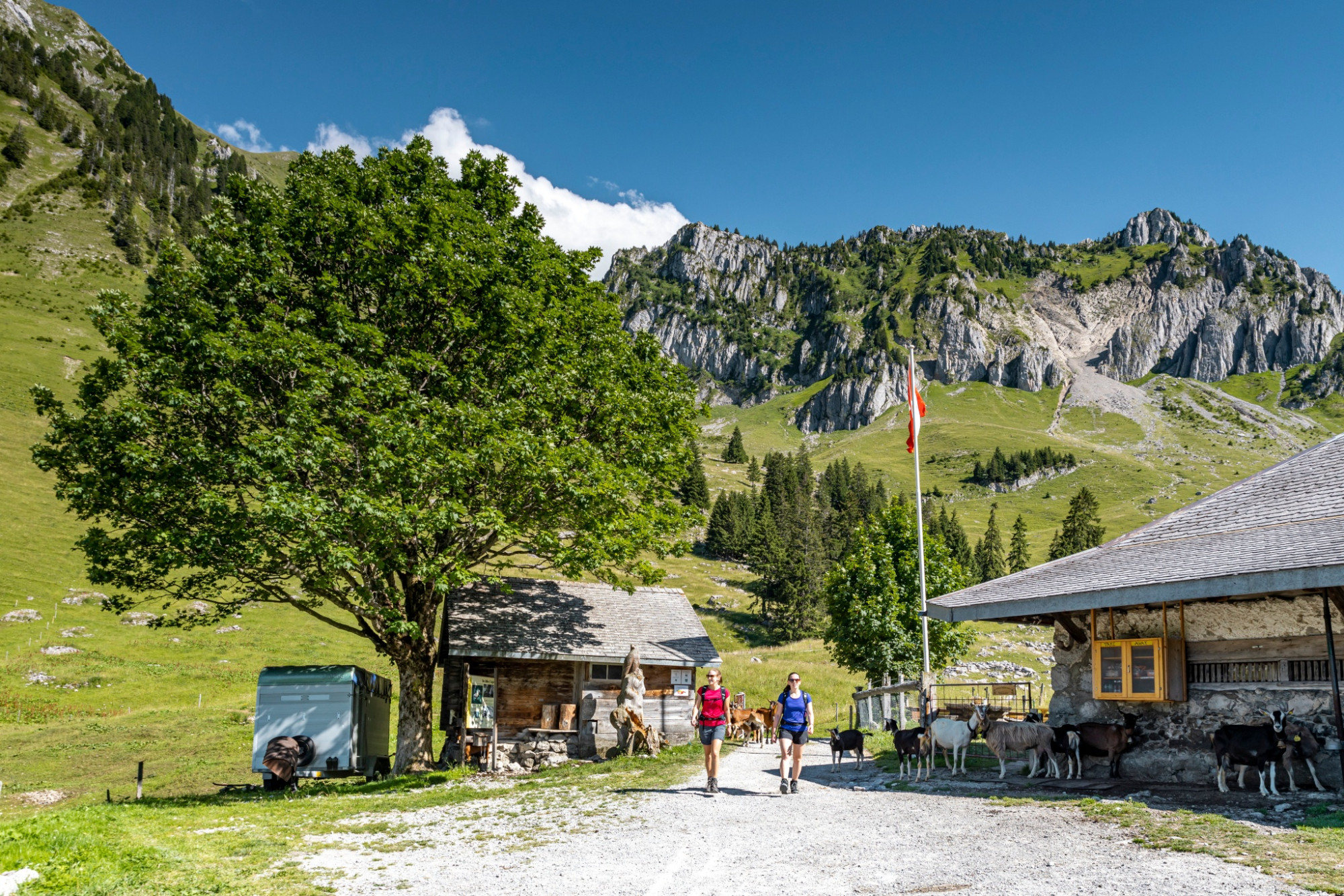
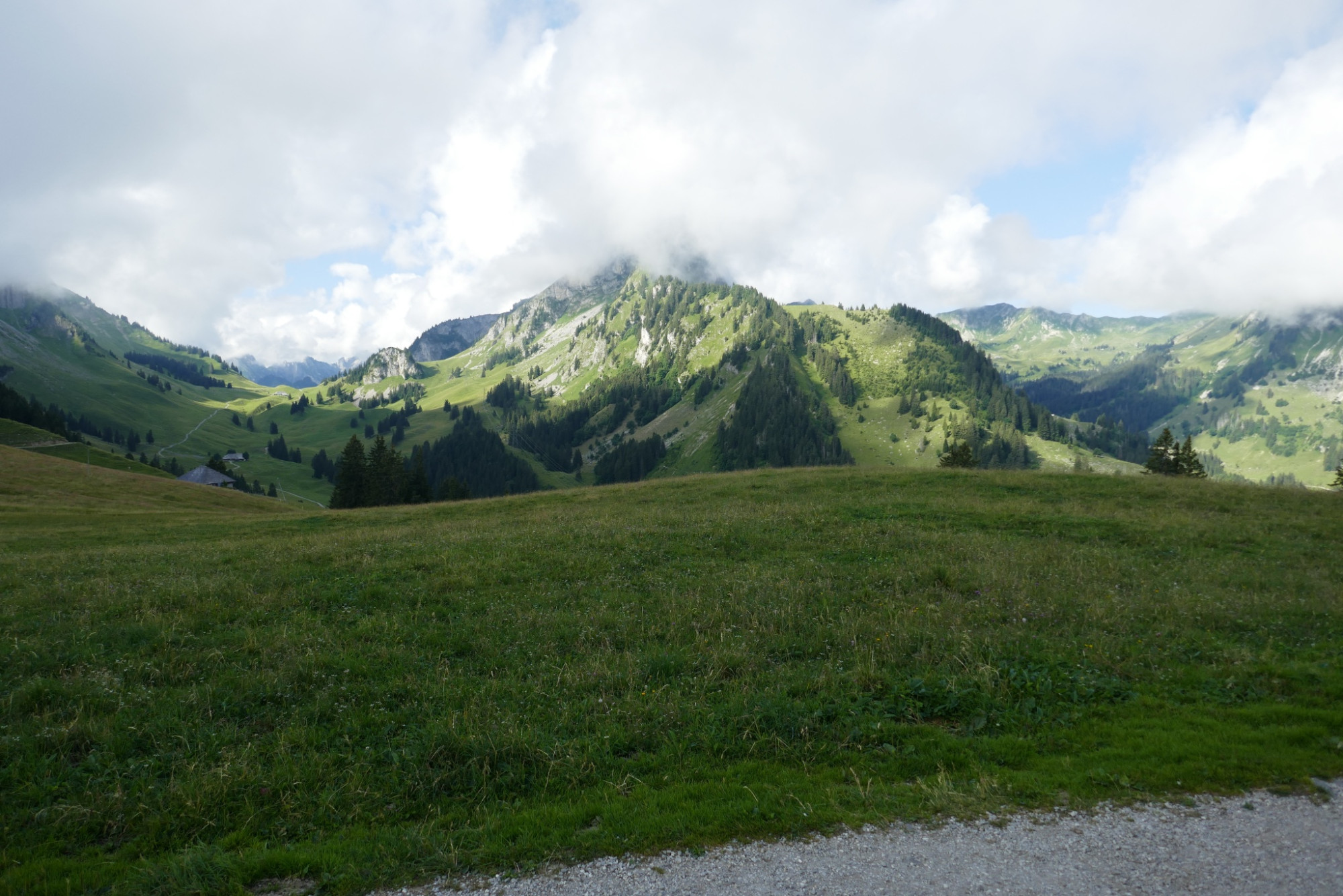
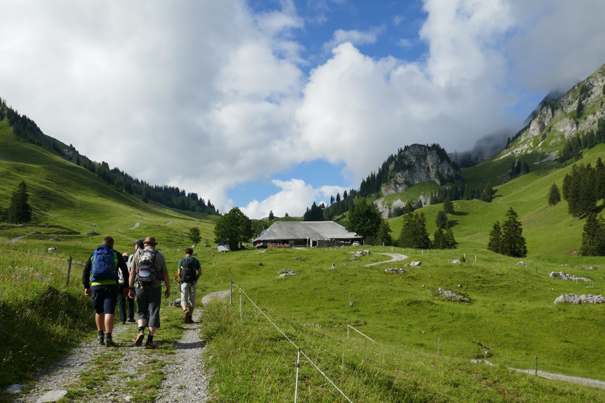
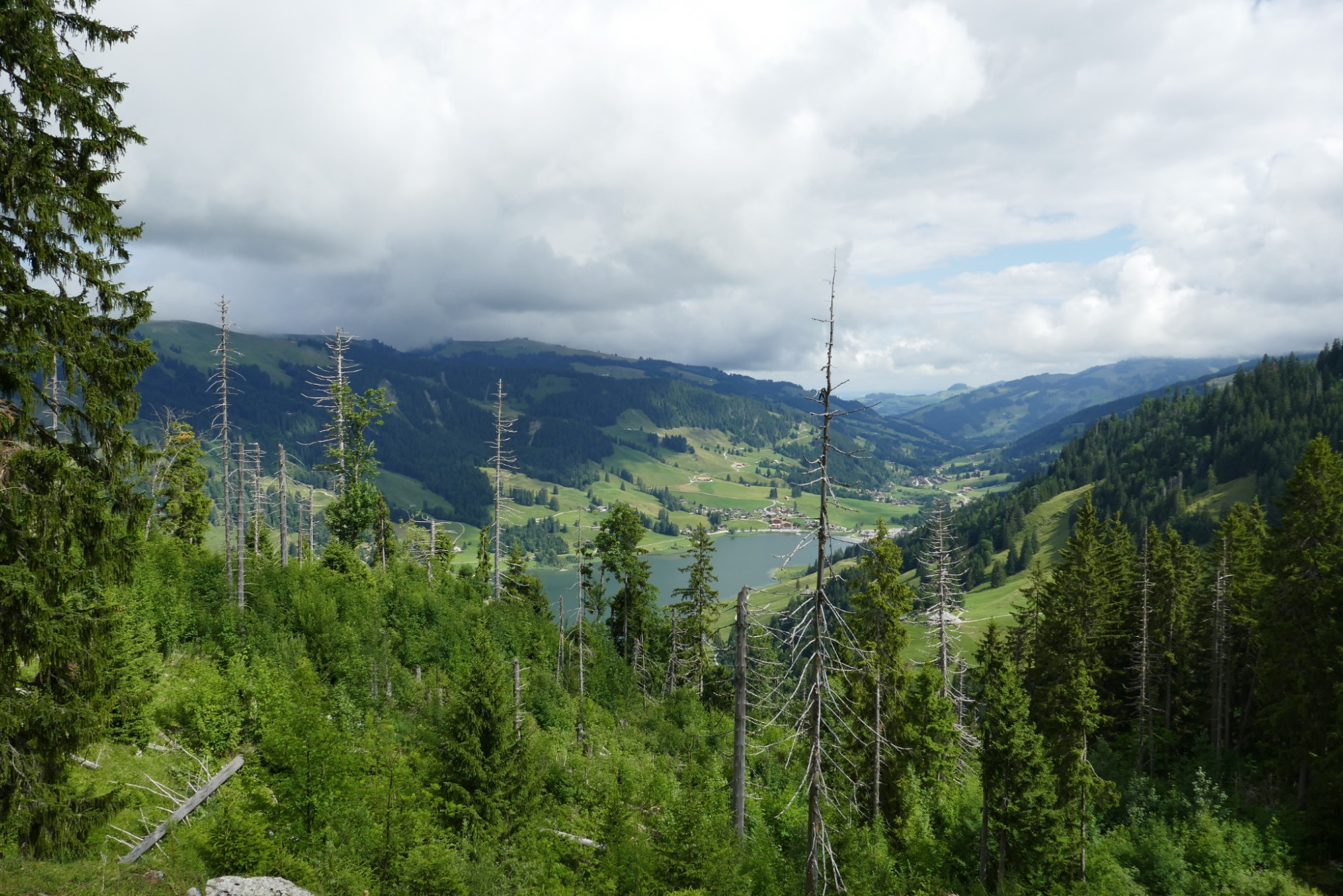
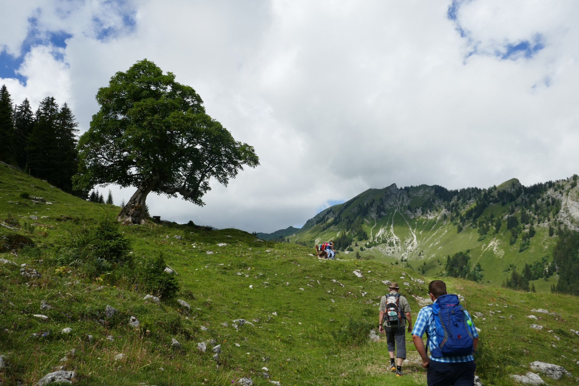
The buvette «Untere Euschels» invites you for a first coffee break. Afterwards, the hiking trail leads with easy ups and downs to ever new viewpoints. Particularly beautiful is the view over Schwarzsee from Rippetli. Shortly afterwards, you enter the Breccaschlund nature reserve, a natural monument of national importance. It is easy to see that the glacier masters shaped this area. There is a special magic emanating from the imposing limestone cliffs, whose whitish spires rise steeply from the lush green alpine pastures towards the sky. Old dry stone walls, alpine flowers, and ruminating cows under mighty sycamores complete the picture.
Rustic restaurants along the way are not lacking: at Alp Cerniets and Alp Steinige Rippa, cheese is prime. For dessert, Alp Hubel Rippa is recommended with a wonderful view of the Schwarzsee, only 20 minutes away. Tip: from Rippetli in Breccaschlund, the hike can be shortened by about four kilometers. The cozy alp huts warmly welcome everyone. The Brecca primeval landscape is marketed in cooperation with the Nature Park Gruyères-Pays d’Enhaut.
Route-information
Route-information
- Length
- 13.01 km
- Altitude difference ascent
- 359 m
- Altitude difference descent
- 797 m
- Time required
- 4 hours 20 minutes
- Level technique
- Easy
- Level condition
- Middle
Details
Equipment / Equipment rent
Weather-appropriate hiking gear
Arrival
Arrival
- Starting point
- Schwarzsee, Gypsera
- Arrival by public transport
- Schwarzsee, Gypsera Timetable SBB
- Destination
- Schwarzsee, Gypsera
Suitable for
The offer is suitable for
- Adults
- 50+
- Families
- Groups
Season
Mai, June, July, August, September, OctoberContact
Naturpark GantrischFörderverein Region Gantrisch
Schlossgasse 13
3150 Schwarzenburg
T +41 (0)31 808 00 20
www.gantrisch.ch