


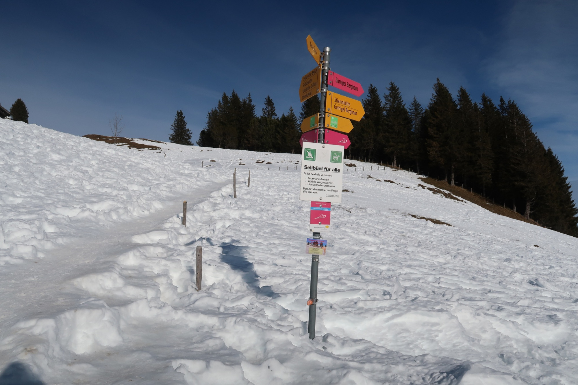
Selibüel Winter Hiking Trail (SchweizMobil 671)
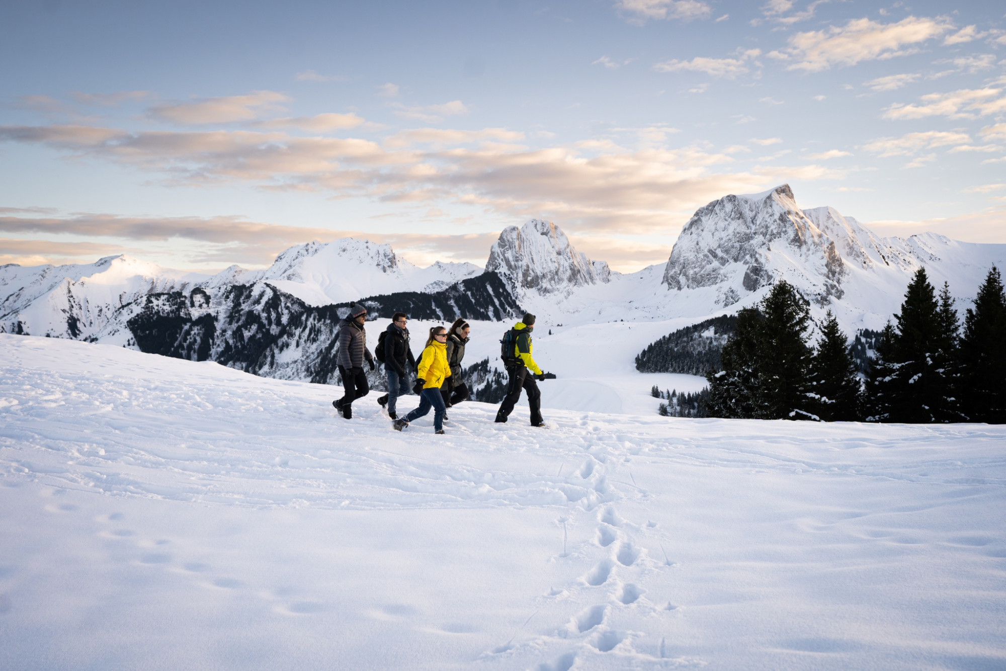
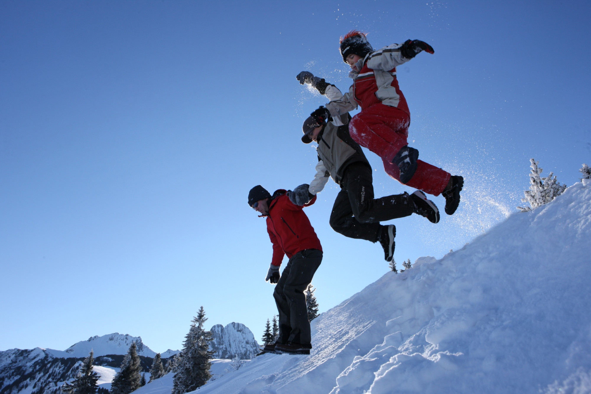
Naturpark Gantrisch - An easy circular hike with views of the Gantrisch mountain range, Lake Thun, and the ice giants of the Bernese Oberland.
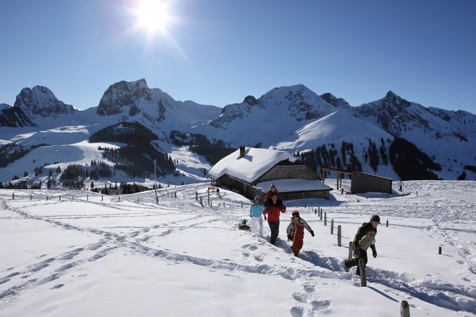
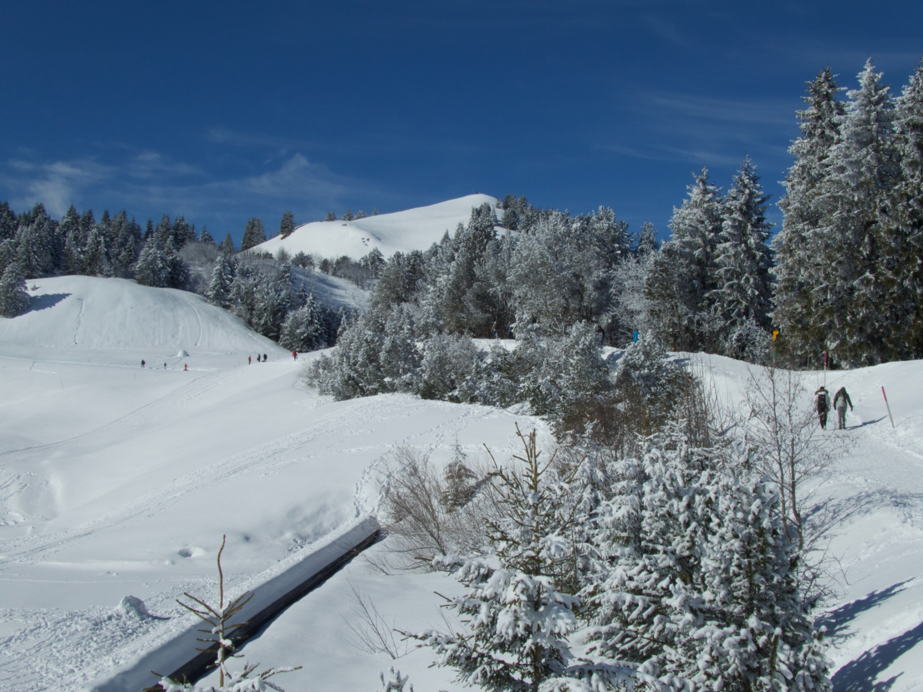
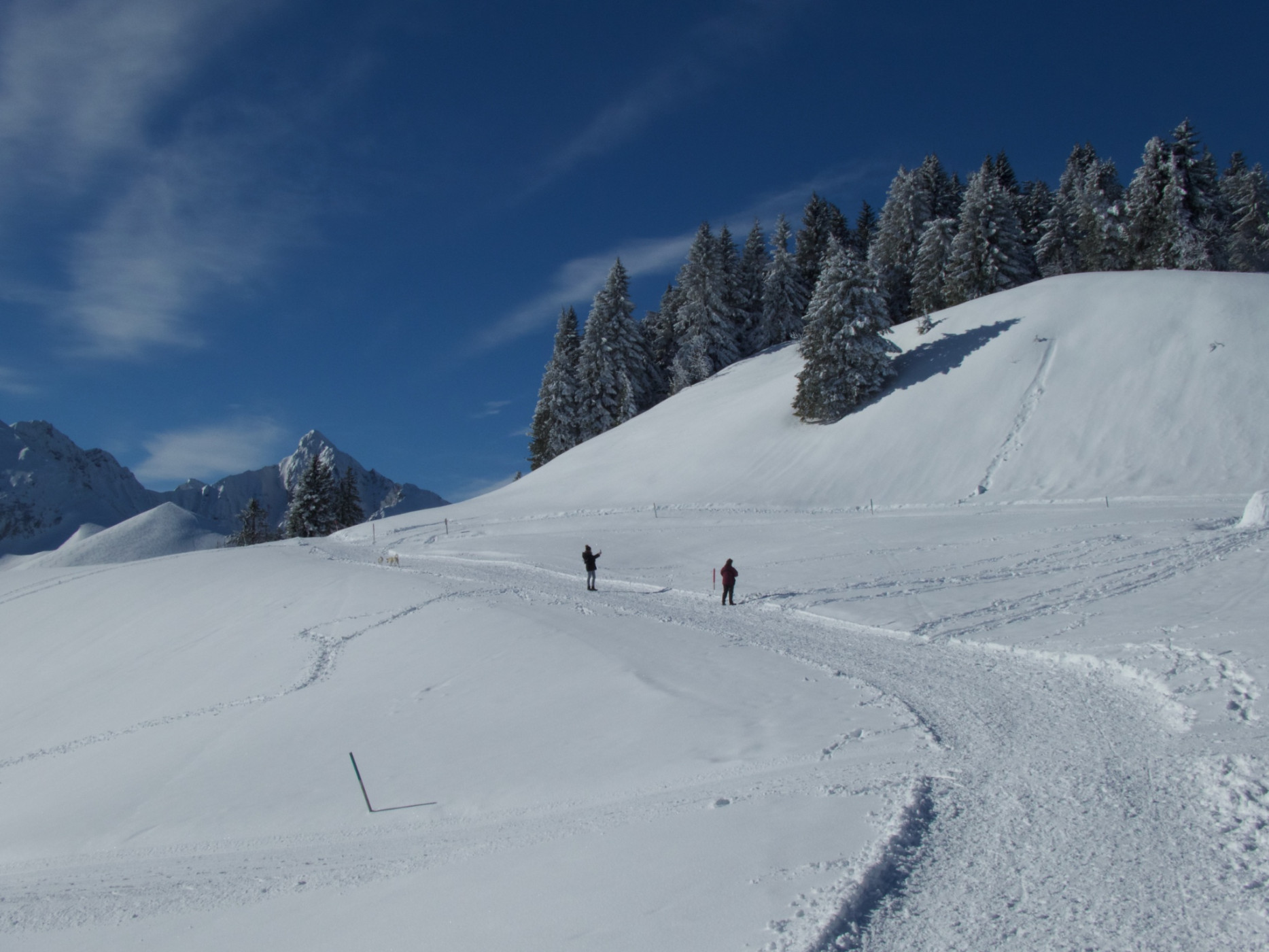
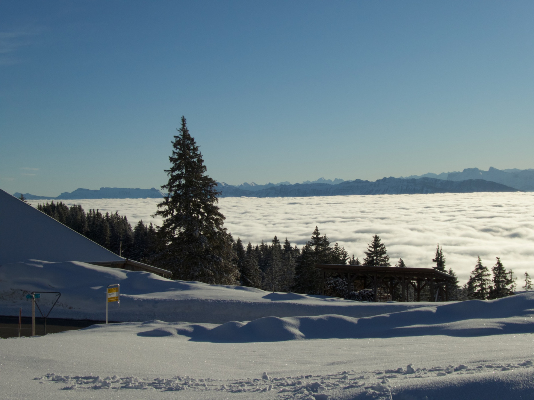
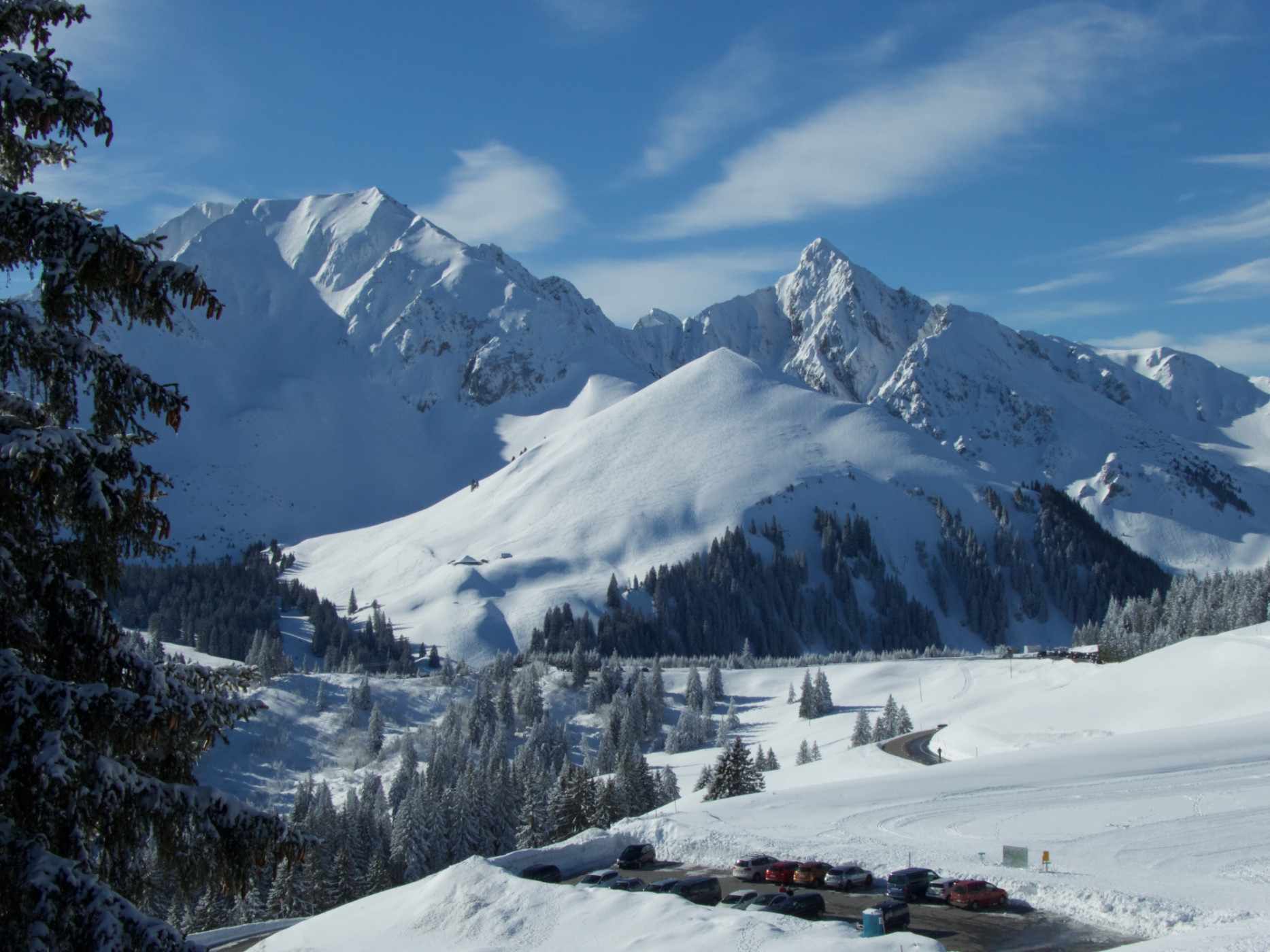
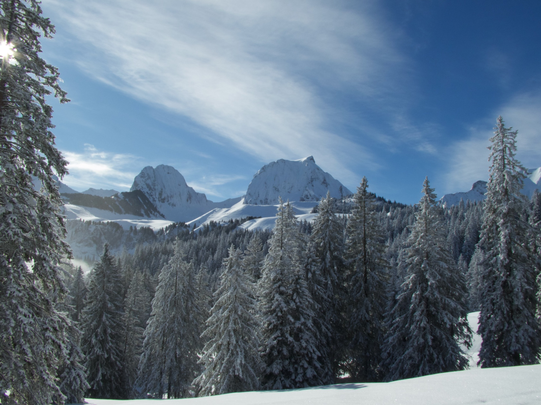
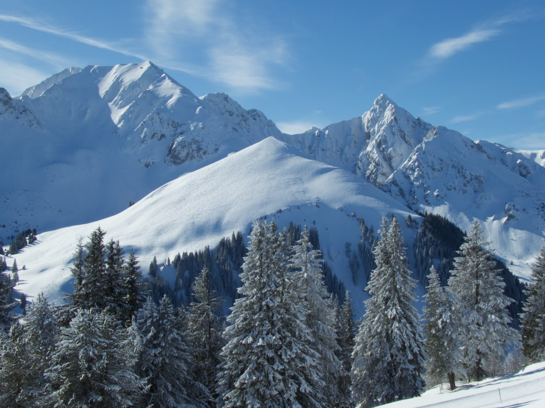
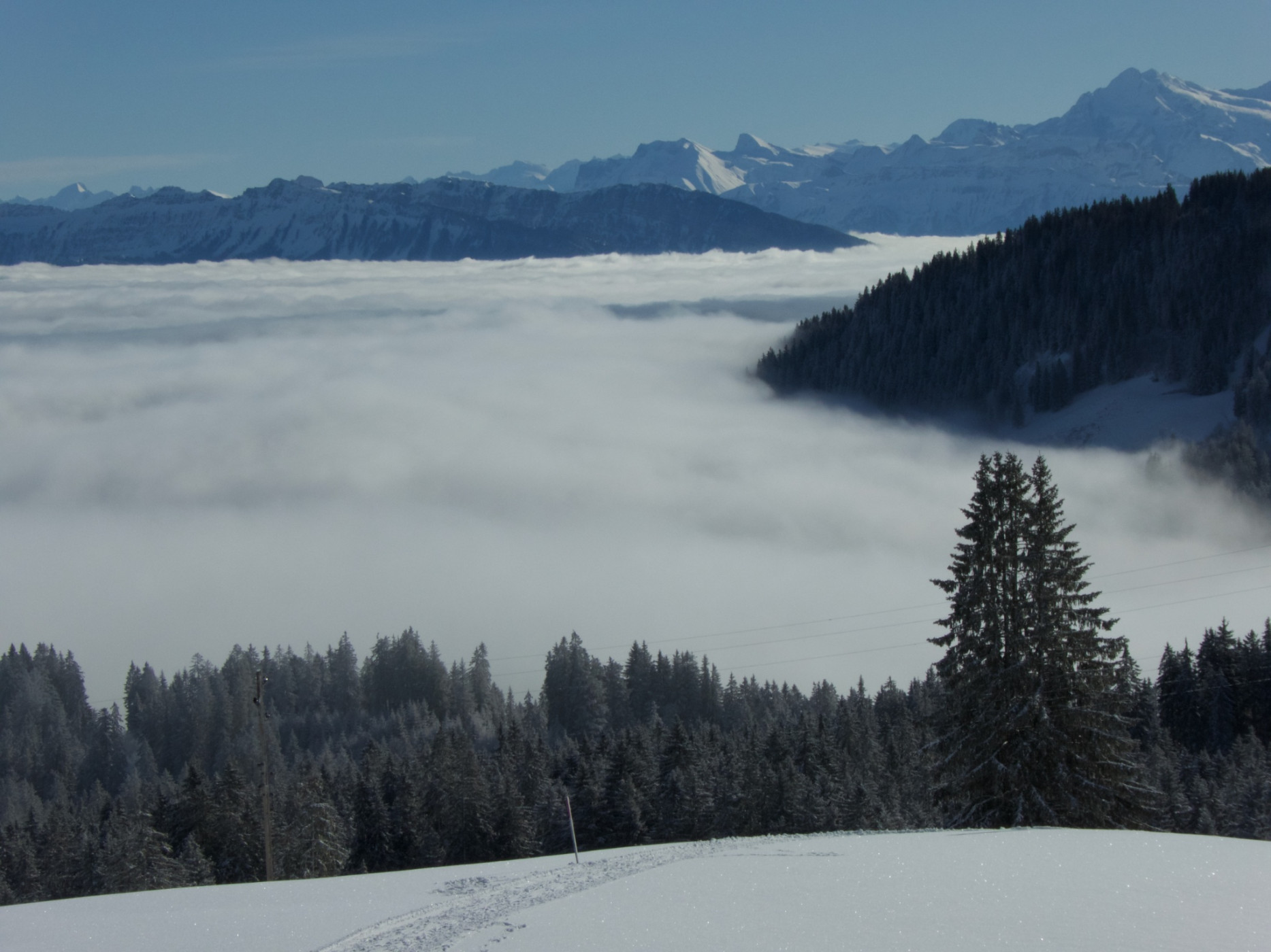
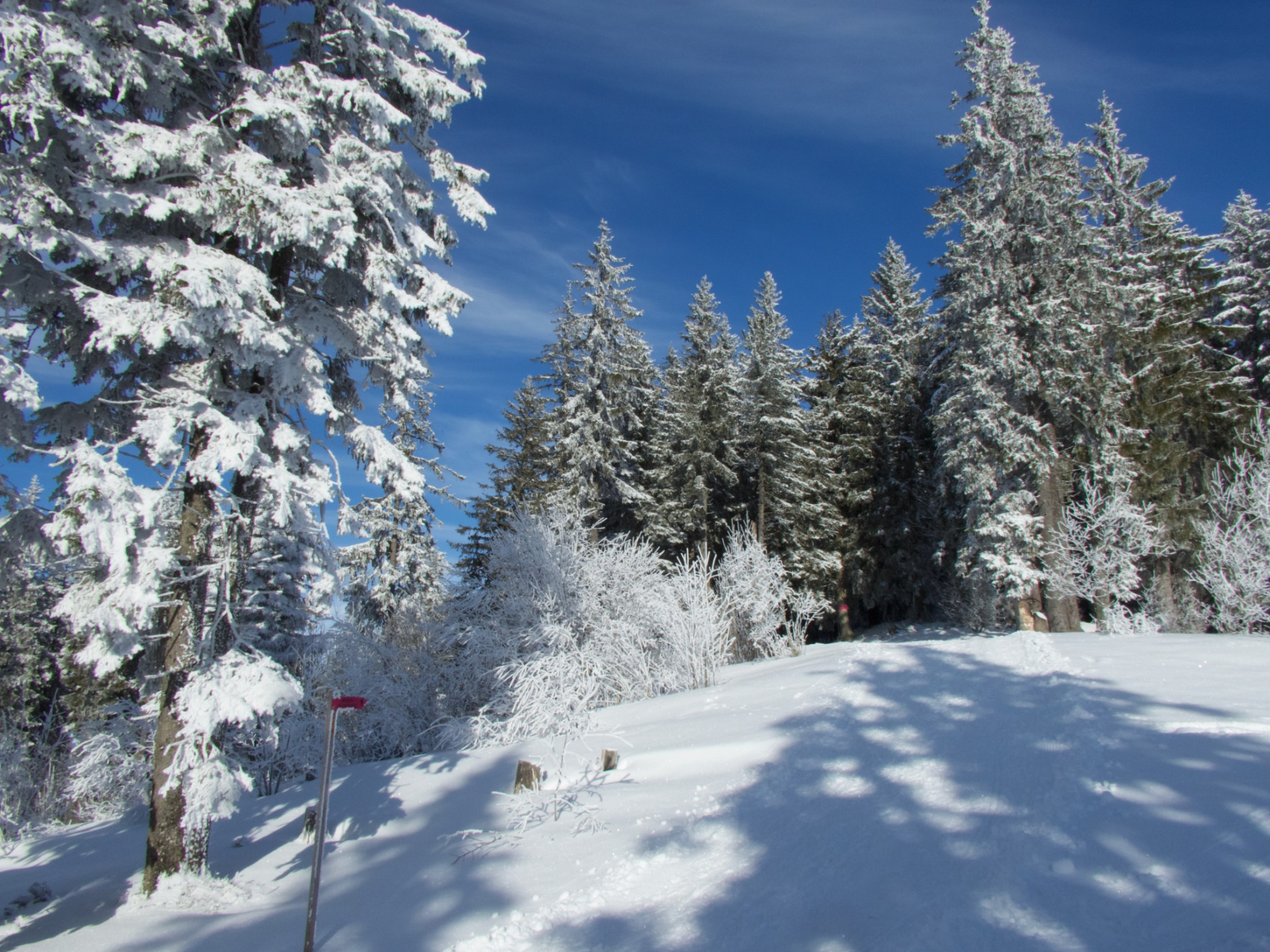
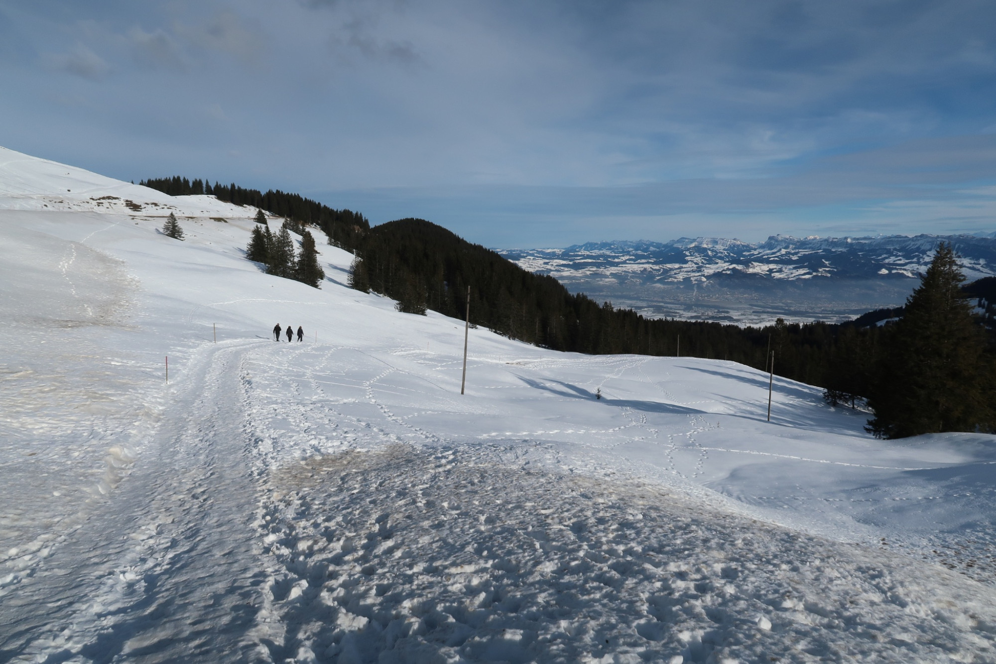
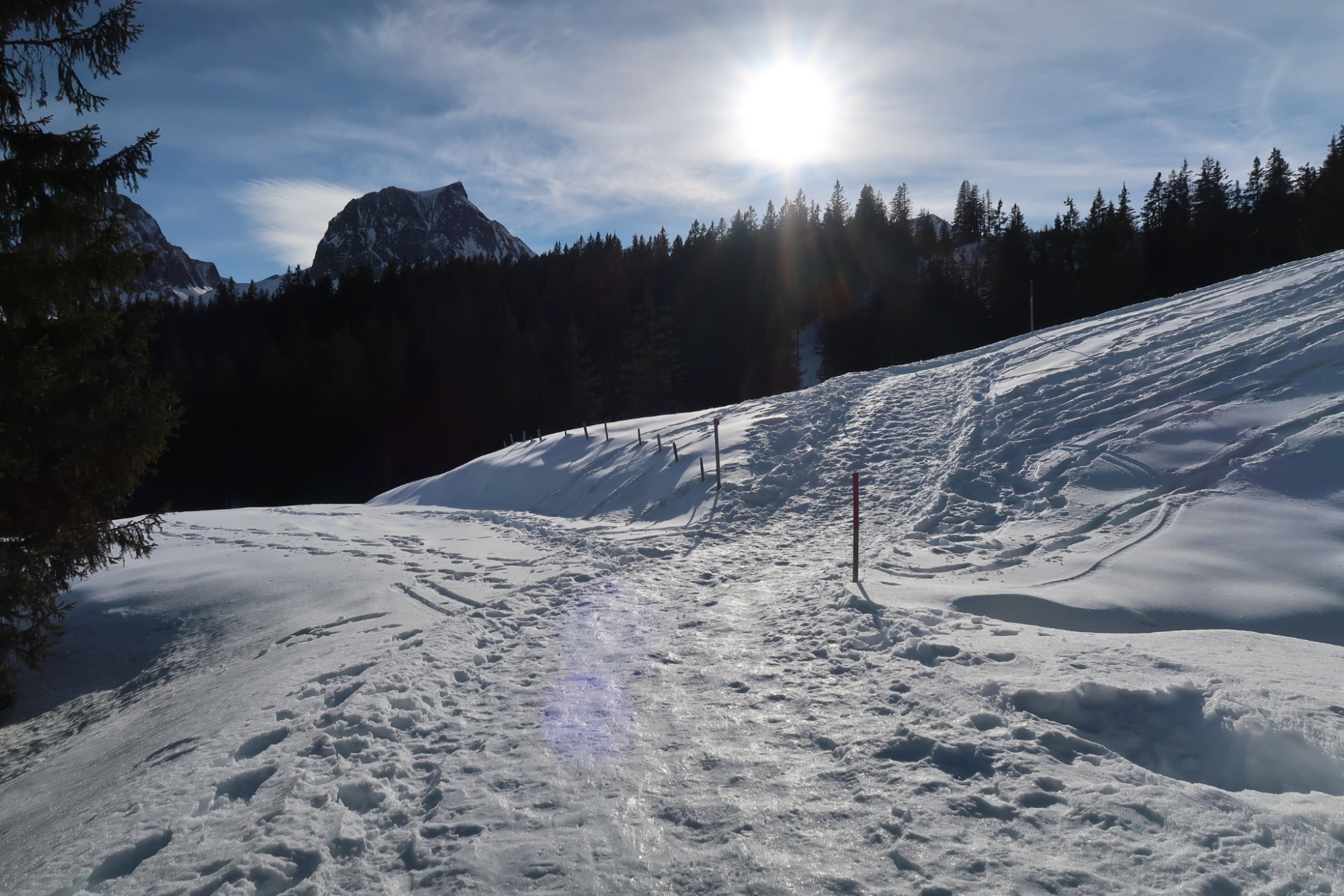
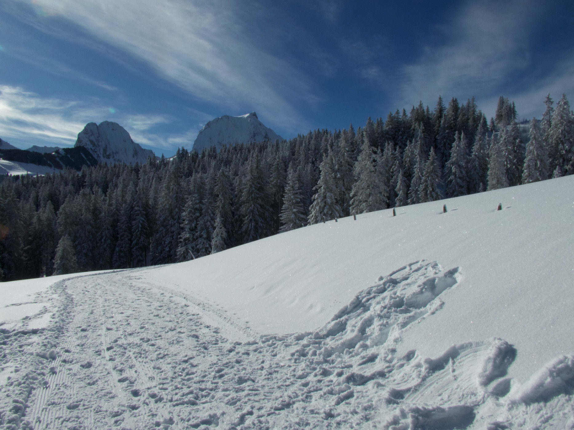
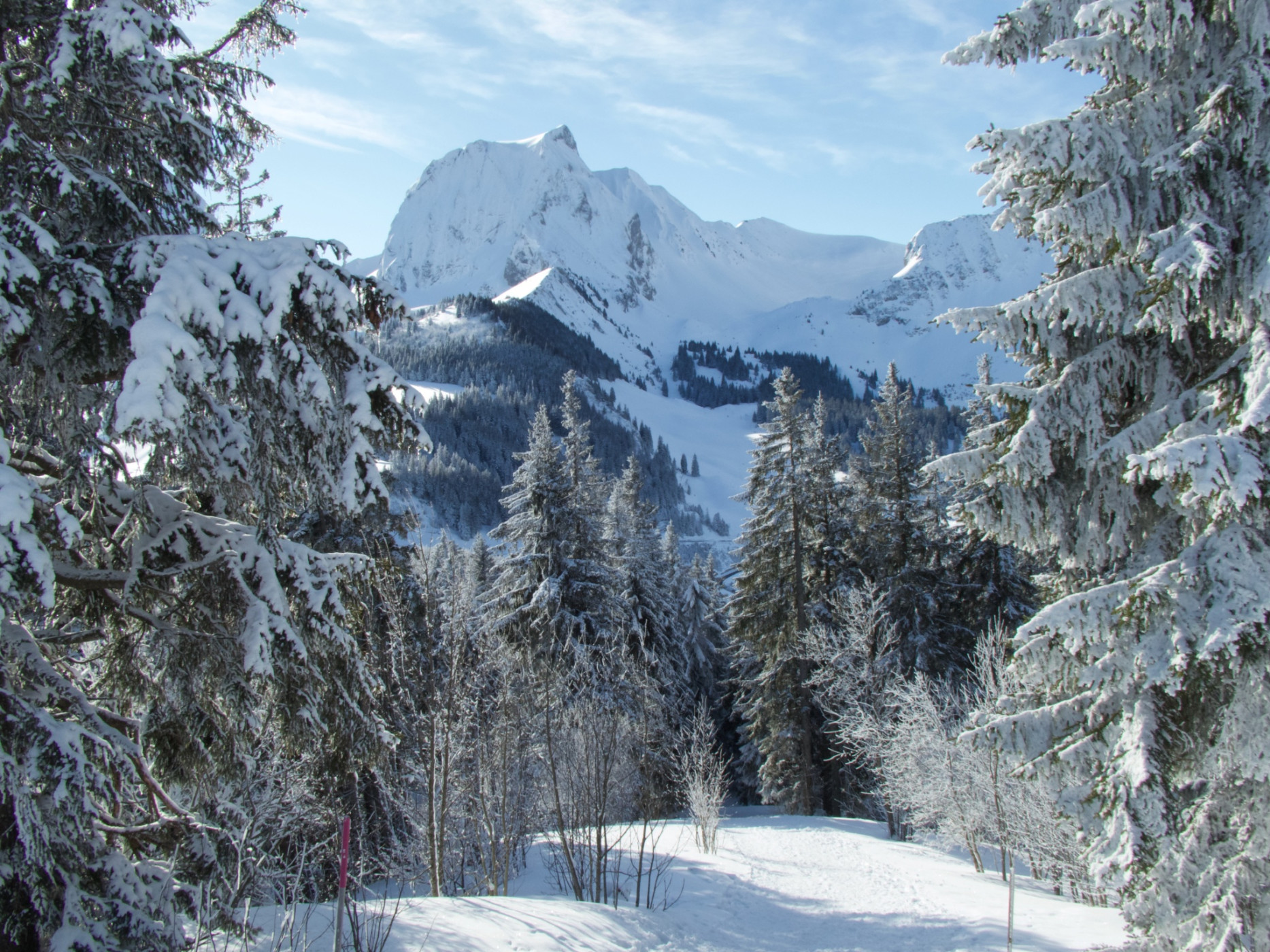
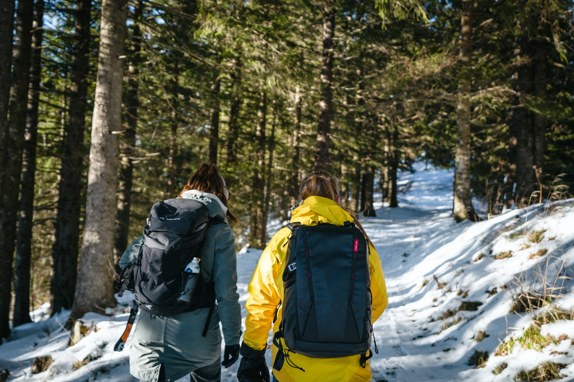
The easy circular hike starts at the Gurnigel mountain lodge but can also be reached from the parking lots or from the bus stops at Stierenhütte and the watershed. On a machine-groomed path, the trail leads along the ridge through the forest towards the Selibüelhütte. From time to time, through the tall fir trees, you can catch glimpses of the mountains of the Gantrisch range lining up to the south, including Chrummfadeflue, Nünenen, Gantrisch, Bürglen, and Ochsen. In good weather, the ice giants of the Bernese Oberland are also visible. Lake Thun is often hidden under a thick layer of fog. A compact fog layer lets us imagine how it might have looked during the last ice ages about 20,000 years ago. Along the sunny path below the Selibüelhoger, some resting benches invite you to pause. Those who enjoy a 360-degree panoramic view can take the 100-meter ascent below the Selibüelhütte and climb the hill of the same name. However, the marked winter hiking trail leads steeply downhill from the Selibüelhütte over the pasture and through the forest to the watershed. After crossing the Gurnigel road, the path leads down over snow-covered moor meadows into the hollow. Often, the rush stems from summer still protrude from the snow. Slowly, the path then gently ascends back to the starting point at the Gurnigel mountain lodge.
Route-information
Route-information
- Length
- 3.04 km
- Altitude difference ascent
- 149 m
- Altitude difference descent
- 149 m
- Time required
- 1 hour
- Level technique
- Easy
- Level condition
- Easy
Details
Equipment / Equipment rent
Besides slip-resistant hiking boots, no other equipment is needed.
Arrival
Arrival
- Starting point
- Gurnigel Berghaus (Höhe: 1600 m)
- Arrival by public transport
- Gurnigel, Berghaus Timetable SBB
- Destination
- Wasserscheide (Höhe: 1600 m)
Suitable for
The offer is suitable for
- Adults
- Children < 6 years
- Children from 7-12 years
- Children >12 years
- 50+
- Families
- Groups
Season
January, February, March, DecemberContact
Naturpark GantrischFörderverein Region Gantrisch
Schlossgasse 13
3150 Schwarzenburg
T +41 (0)31 808 00 20
www.gantrisch.ch