

Snowshoe trail Panoramaweg trail
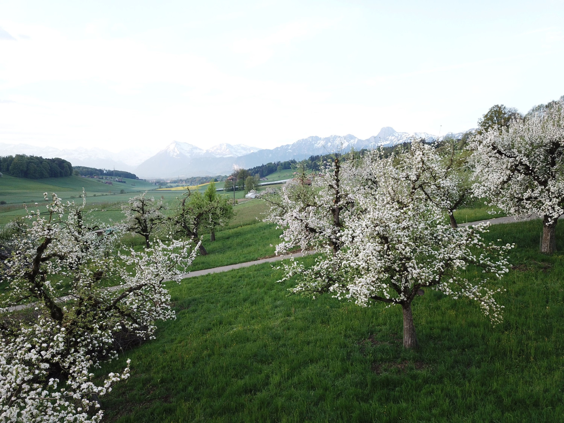
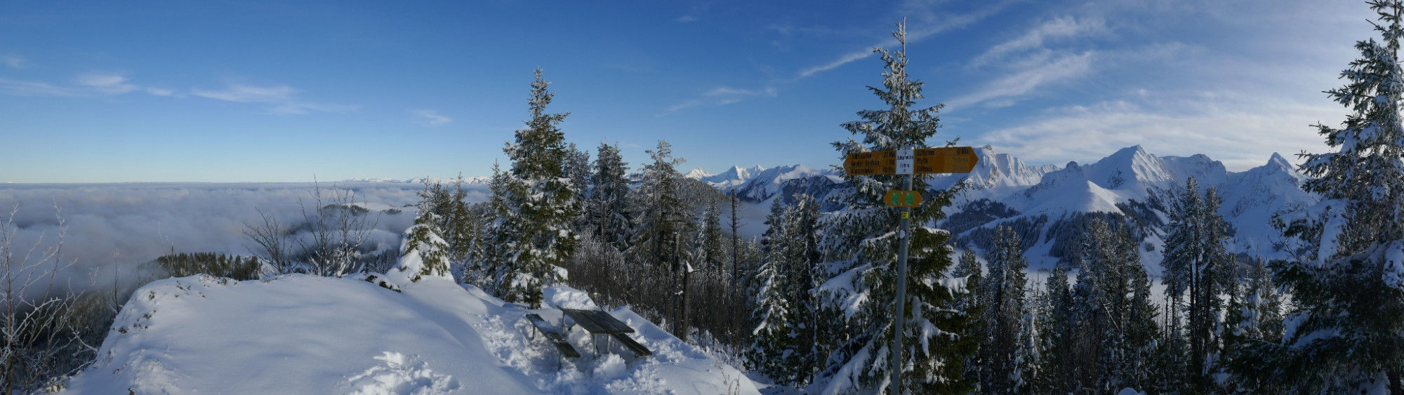
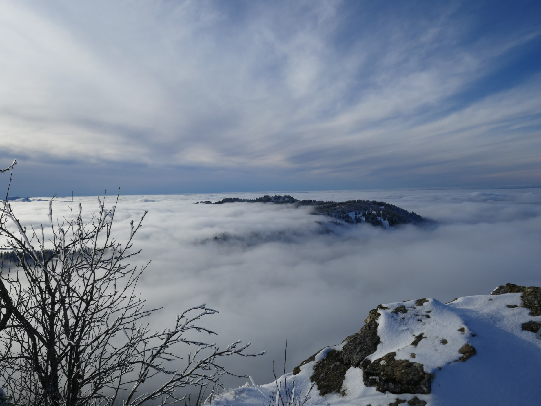
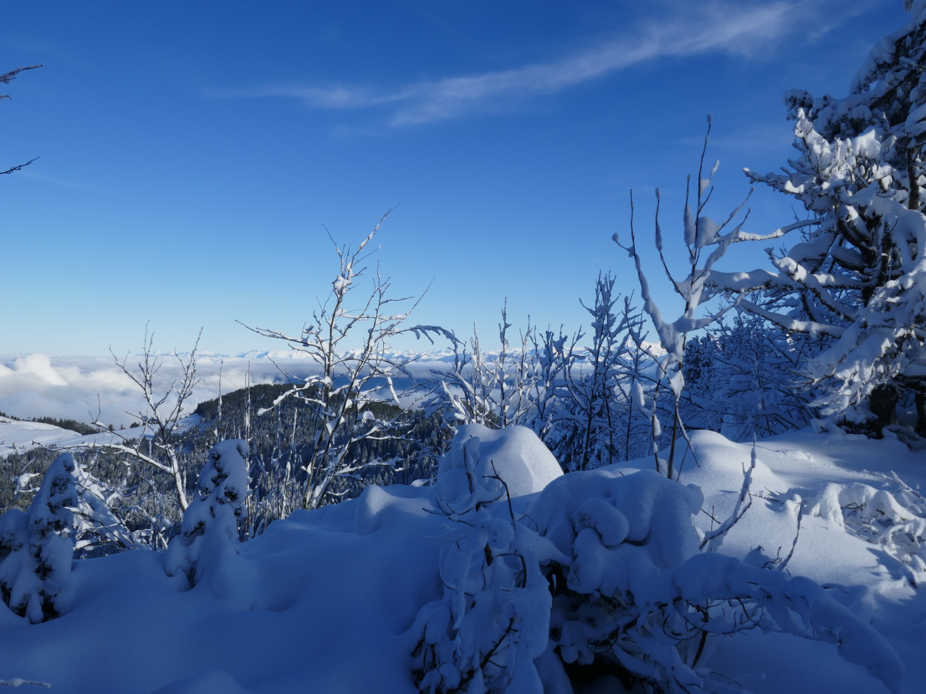
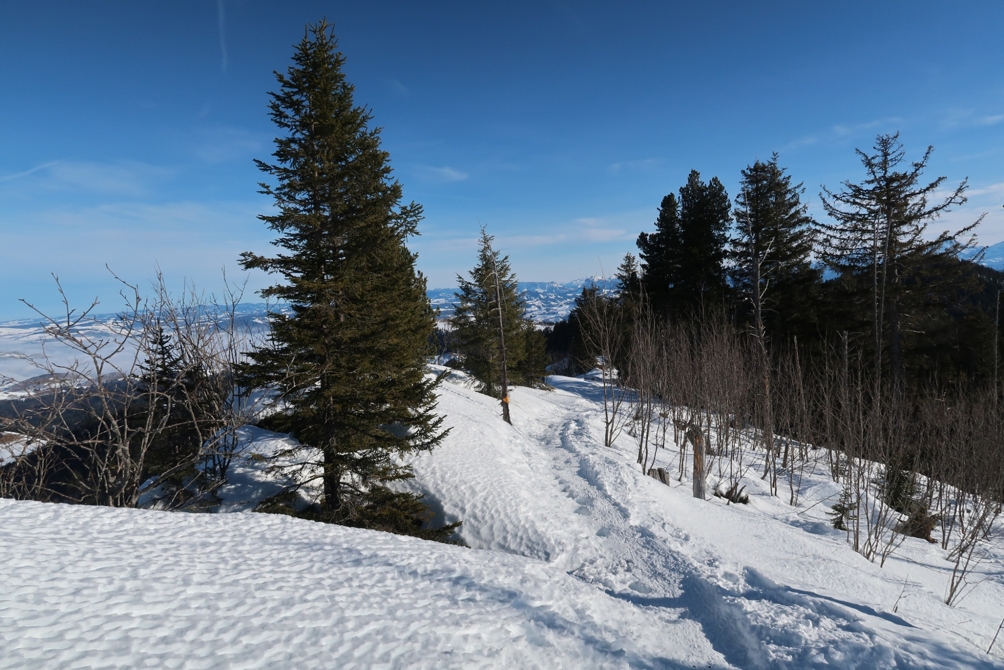
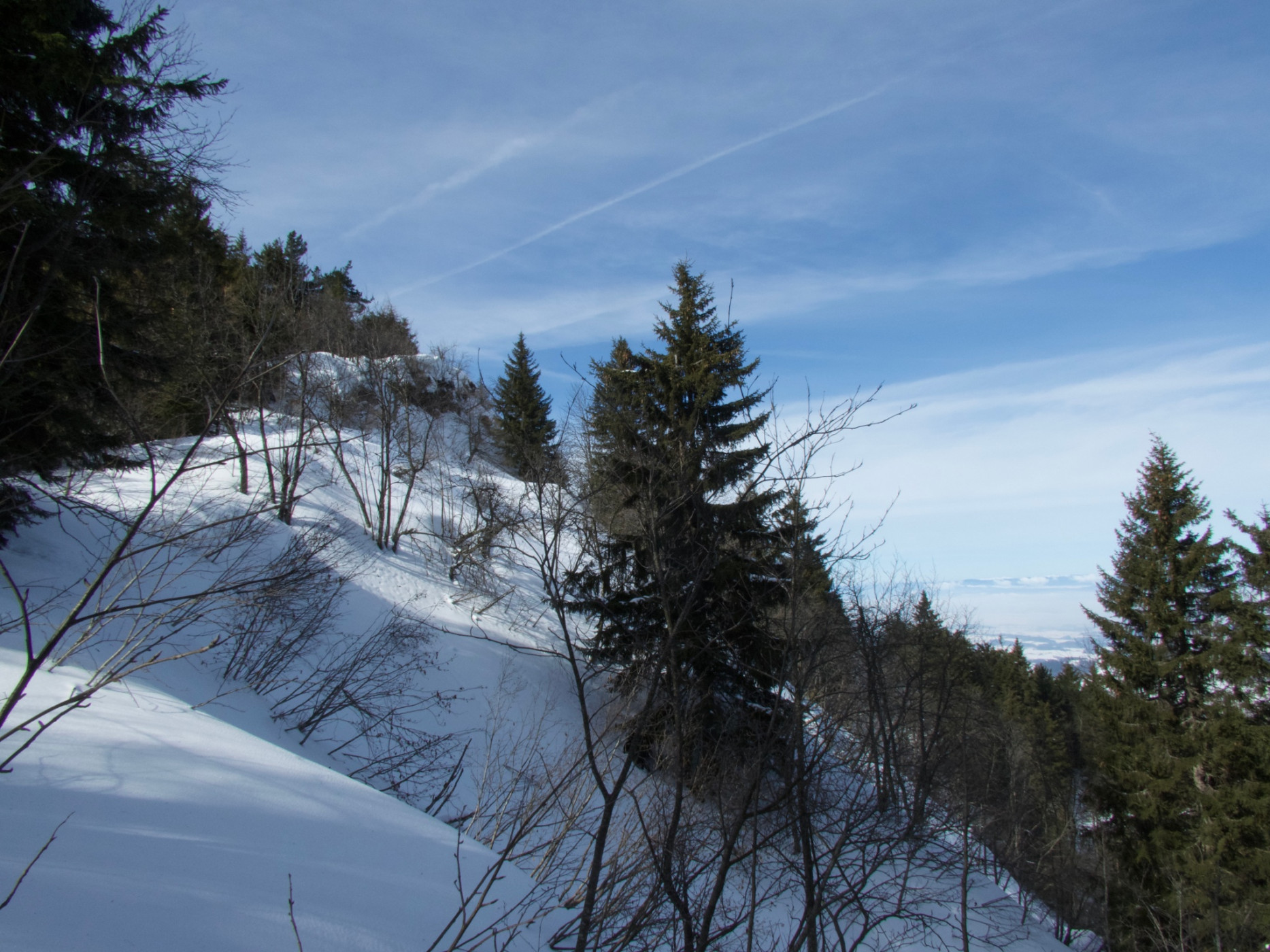
Naturpark Gantrisch - The summer classic is also worth hiking in winter as a mostly unmarked trail. From the watershed, follow the Panoramaweg signposts. The view of the peaks of the Gantrisch range changes continuously, as does the view to the right across the Mittelland and towards the Jura.
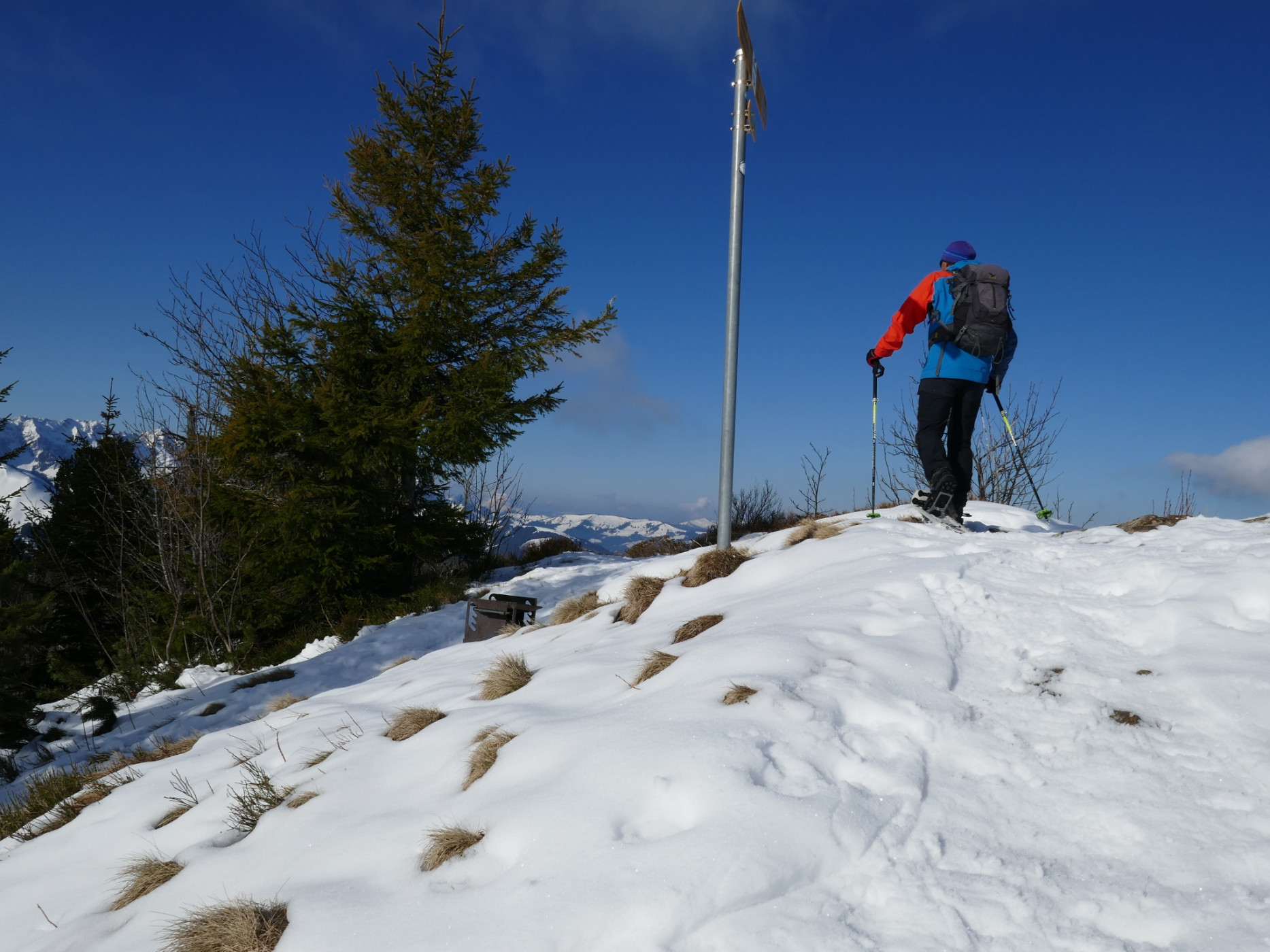
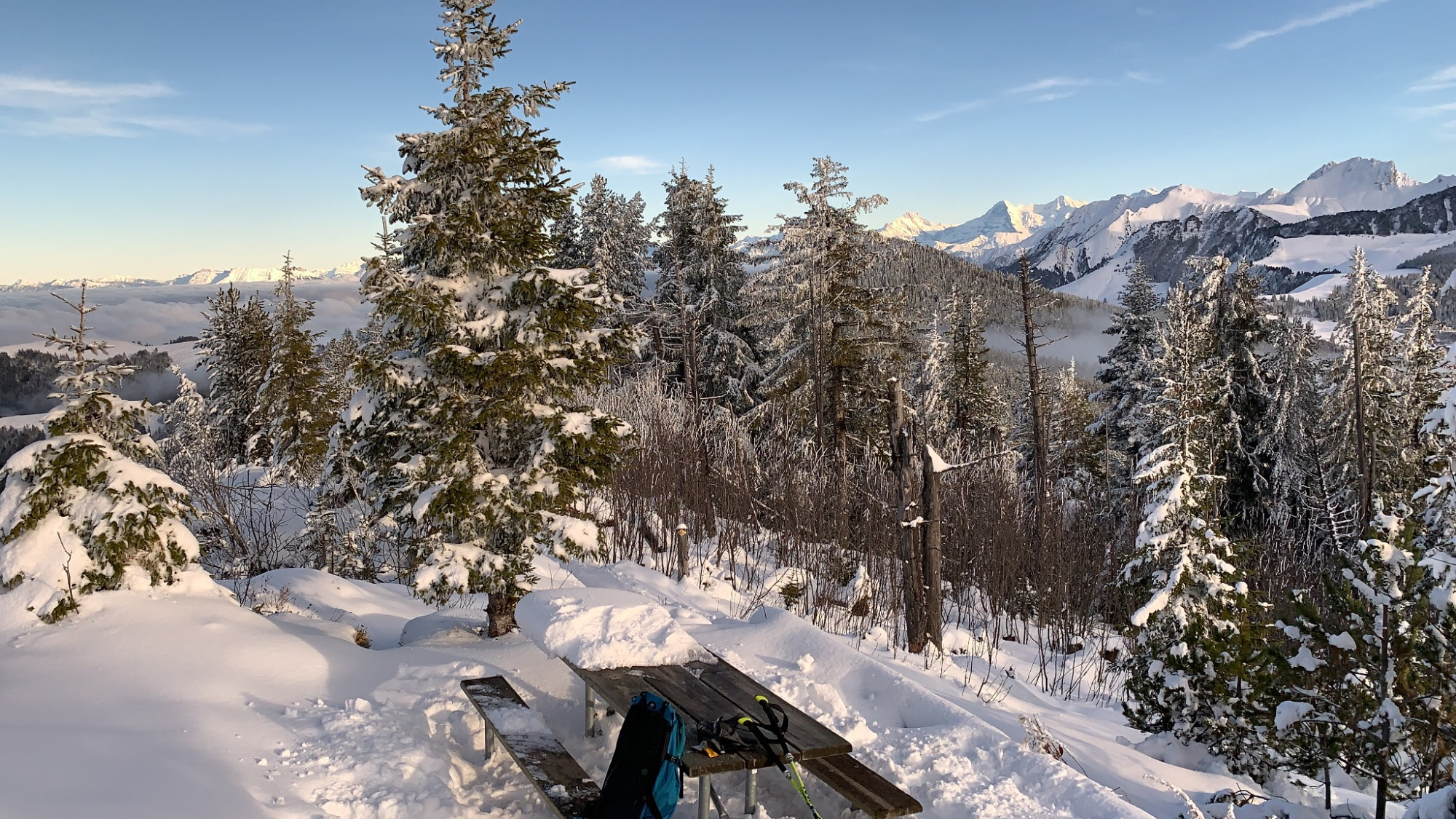
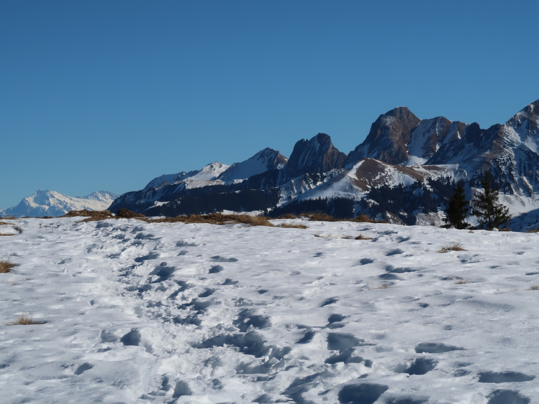
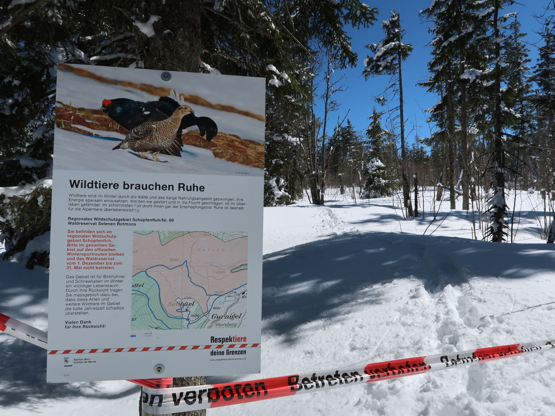
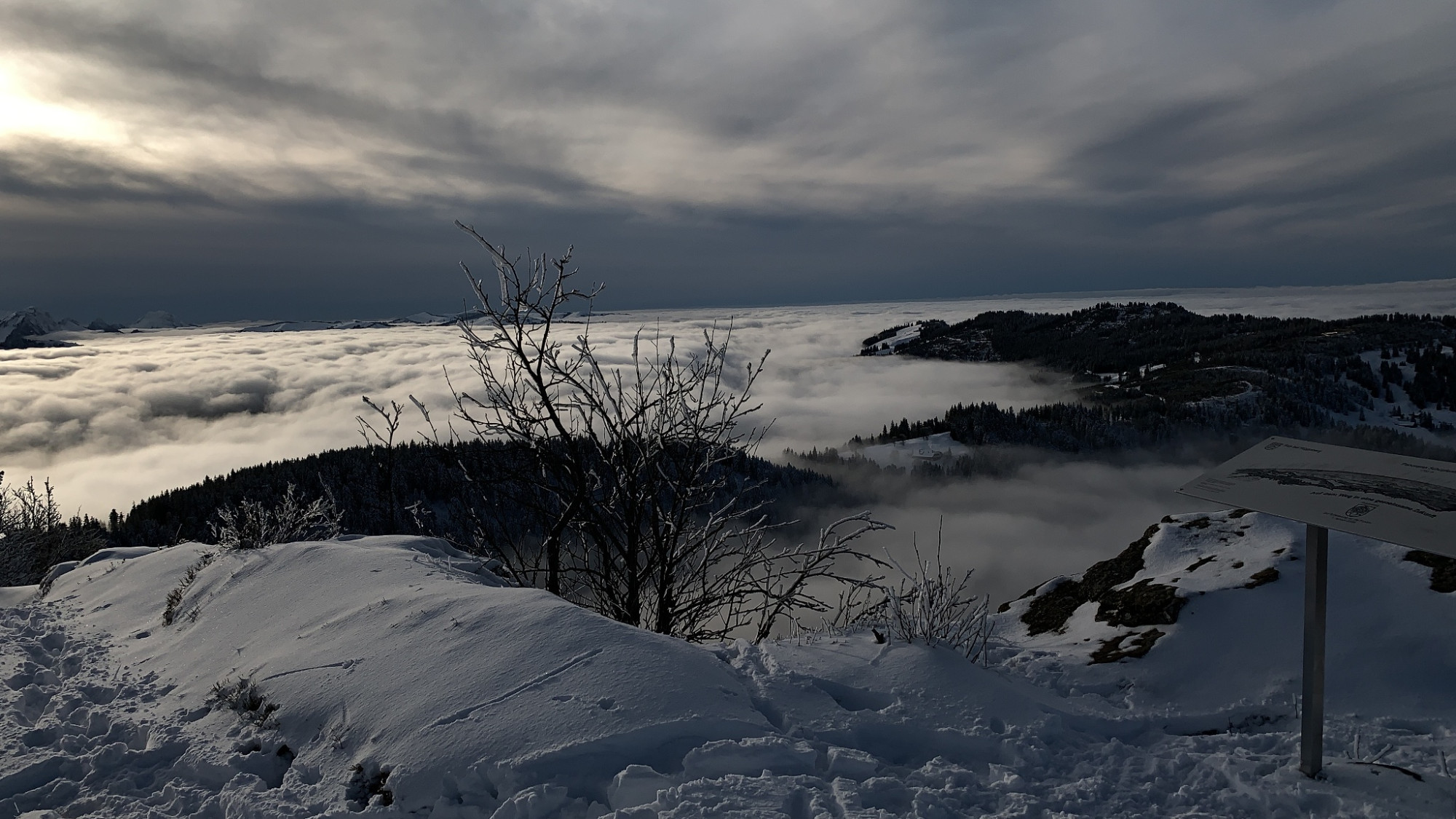
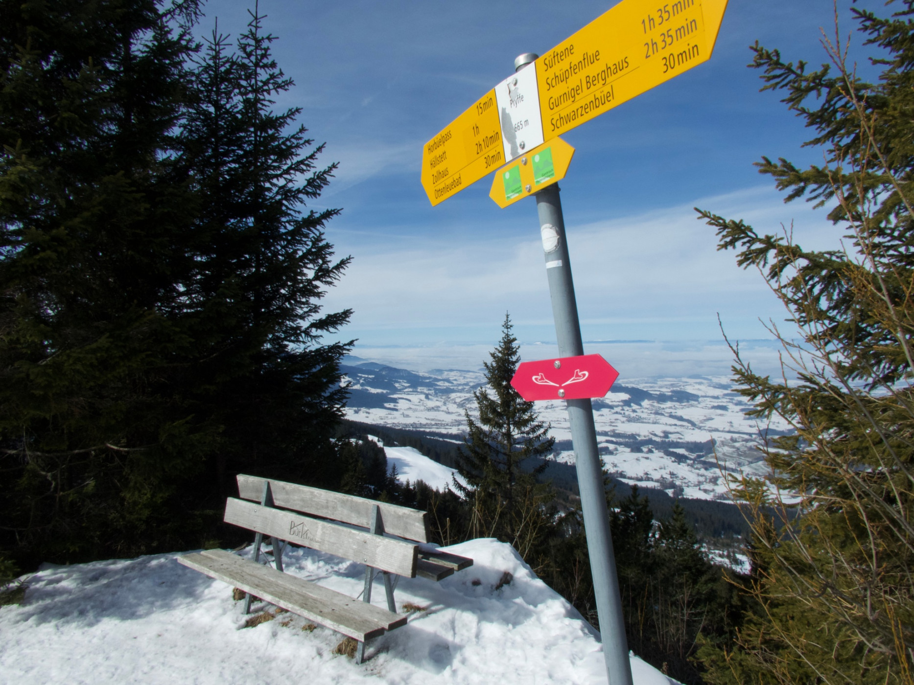
Shortly after starting the hike at the Selibühl hut, you must decide whether to climb the popular and frequently visited viewpoint on the Selibüel. It is always worth it in good visibility, especially if the view to the Bernese Alps is open. On the descent, follow the ascent path back down to the Selibühl hut. Then the path bypasses the hill on the south side via a forest trail, with splendid views of the nearby Gantrisch mountains Bürglen and Ochsen. Following the ridge, the path climbs up stairs to the Schüpfenfluh. Thanks to the prominent flysch cliffs, the view is now also free towards the Mittelland. Here, as on the Selibühl and then on the Pfyffe, a panorama board explains the names of the visible peaks. The path descends steeply on the other side of the Schüpfenfluh.
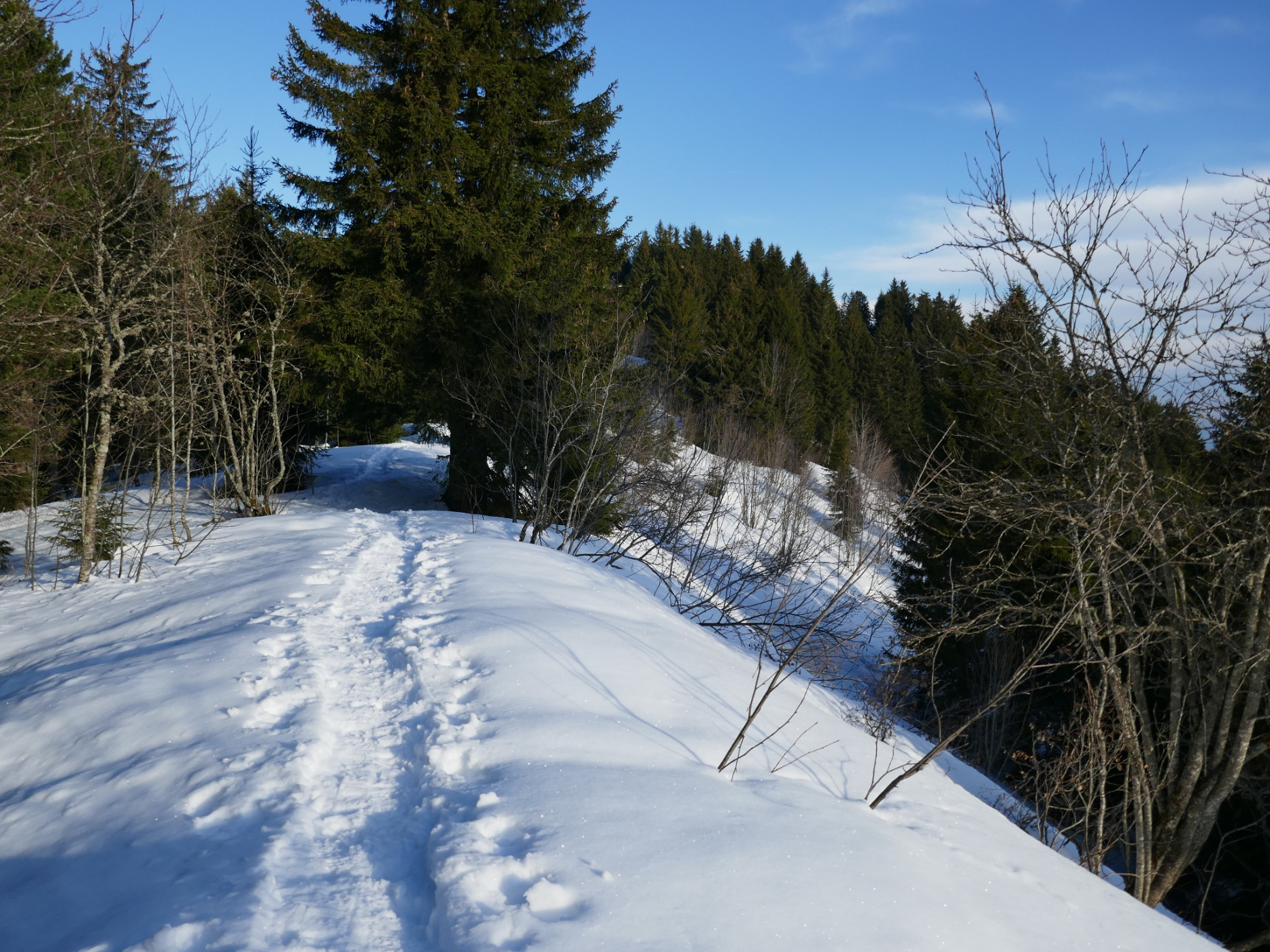
After reaching the cross-country ski trail, follow it to Süftene. Cross-country skiers appreciate it if you walk at the edge beside the tracks. From Süftene to the shelter hut, follow the ridge. Then the path follows the hiking trail toward the Pfyffe and at Gägger again the marked Schwarzenbühl panorama trail. On the way west, the view opens increasingly toward the Fribourg Pre-Alps and the German Fribourg Mittelland. A steep descent toward Zollhaus still lies ahead. From there, there is a connection to the Schwarzsee-Freiburg bus line.
Route-information
Route-information
- Length
- 16.79 km
- Altitude difference ascent
- 377 m
- Altitude difference descent
- 1097 m
- Time required
- 6 hours 15 minutes
- Level technique
- Middle
- Level condition
- Hard
Details
Equipment / Equipment rent
Equipment rental
-
Gurnigel Berghaus, Gurnigel (self-service at cross-country skiing rental)
- Schwarzenbühl Kurhaus (self-service at cross-country skiing rental)
- Gantrisch Bike & Sport, Riggisberg
Arrival
Arrival
- Starting point
- Gurnigel Berghaus
- Destination
- Zollhaus FR
Suitable for
The offer is suitable for
- Adults
- Children from 7-12 years
- Children >12 years
- 50+
- Families
- Groups
Season
January, February, March, DecemberContact
Naturpark GantrischFörderverein Region Gantrisch
Schlossgasse 13
3150 Schwarzenburg
T +41 (0)31 808 00 20
www.gantrisch.ch