

Binn - Blausee - Binn
Hiking trail
Time required: 7 hours 30 minutesLength: 20.50 km
Landschaftspark Binntal -
Covered with snow
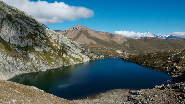
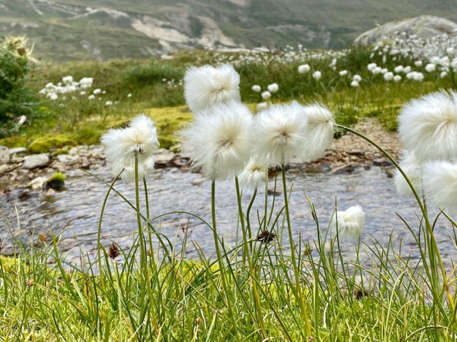
The hike starts from Binn through the hamlet of Wilere along the contemplation path into the Lengtal. Upon reaching Heiligkreuz, the path crosses three streams: the Chriegalpwasser, the Lengtalwasser, and the Saflischbach.Afterwards, the path continues slightly elevated along the Saflischbach into the Saflischtal to Alp Sickerchäller and then to Mässhitta. At this point, the route follows the hiking trail towards Blausee. On a final, somewhat steeper ascent, the path crosses several tributaries until the sight of the blue pearl "Blausee" rewards hikers for their efforts.
For the return journey, the route branches off approximately at the level of the small dam on the Saflischbach to the left and descends via Rufibord through the forest to the picturesque hamlet of Ze Binne. From there, there is a short uphill climb back to Binn.
Route-information
Route-information
- Length
- 20.50 km
- Altitude difference ascent
- 1060 m
- Altitude difference descent
- 1060 m
- Time required
- 7 hours 30 minutes
Height profile view map
Details
Signalization
white - red - whiteArrival
Arrival
- Starting point
- Binn (Altitude: 1400 m)
- Arrival by public transport
- Binn, Dorf Timetable SBB
- Destination
- Binn (Altitude: 1400 m)
Suitable for
The offer is suitable for
- Adults
- Children >12 years

Season
July, August, September, OctoberContact
Tourismusbüro BinnLandschaftspark Binntal
Dorfstrasse 11
3996 Binn
T +41 27 971 50 50
www.landschaftspark-binntal.ch