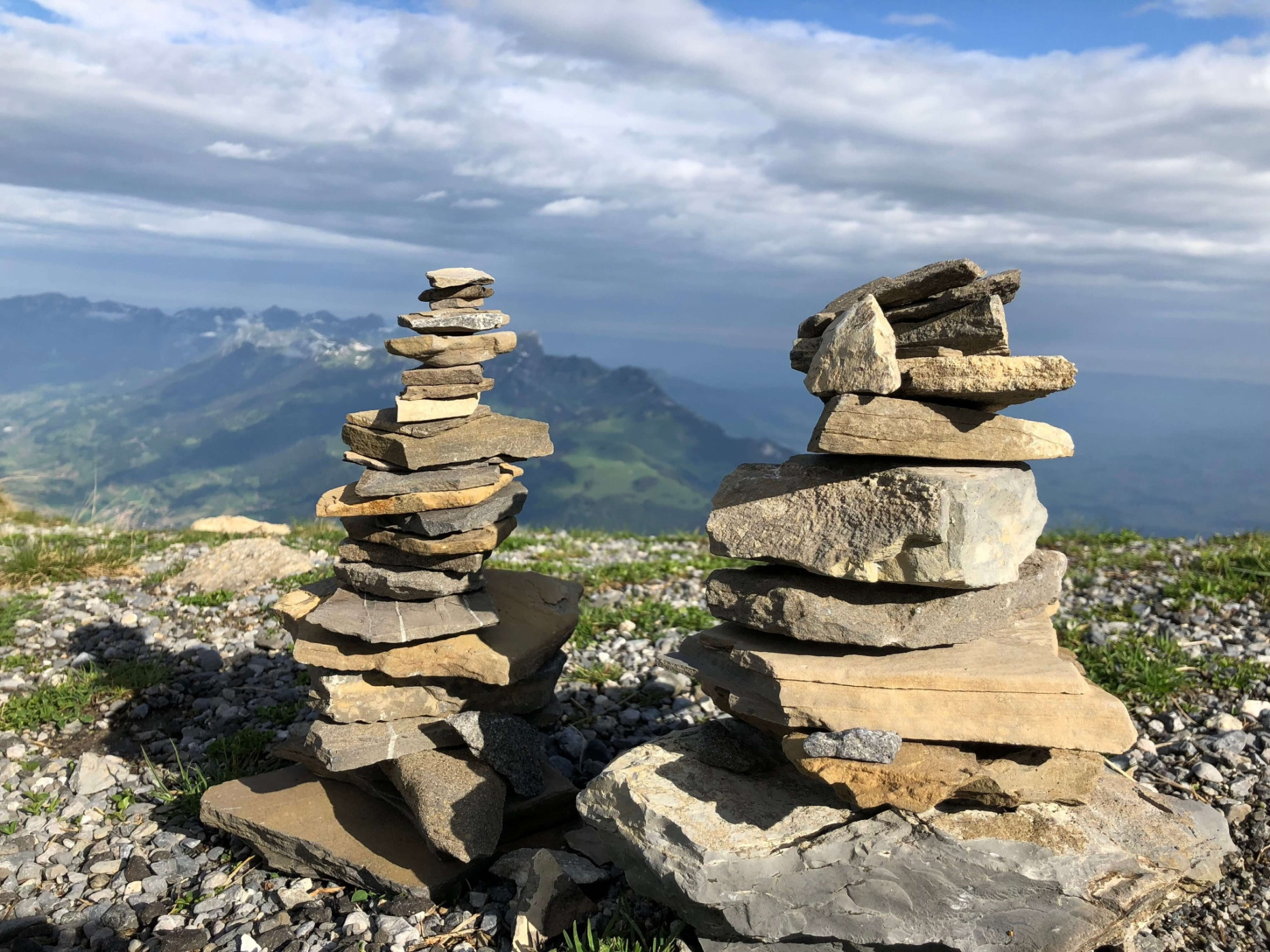

Panorama hiking trail Niesen-Diemtigtal
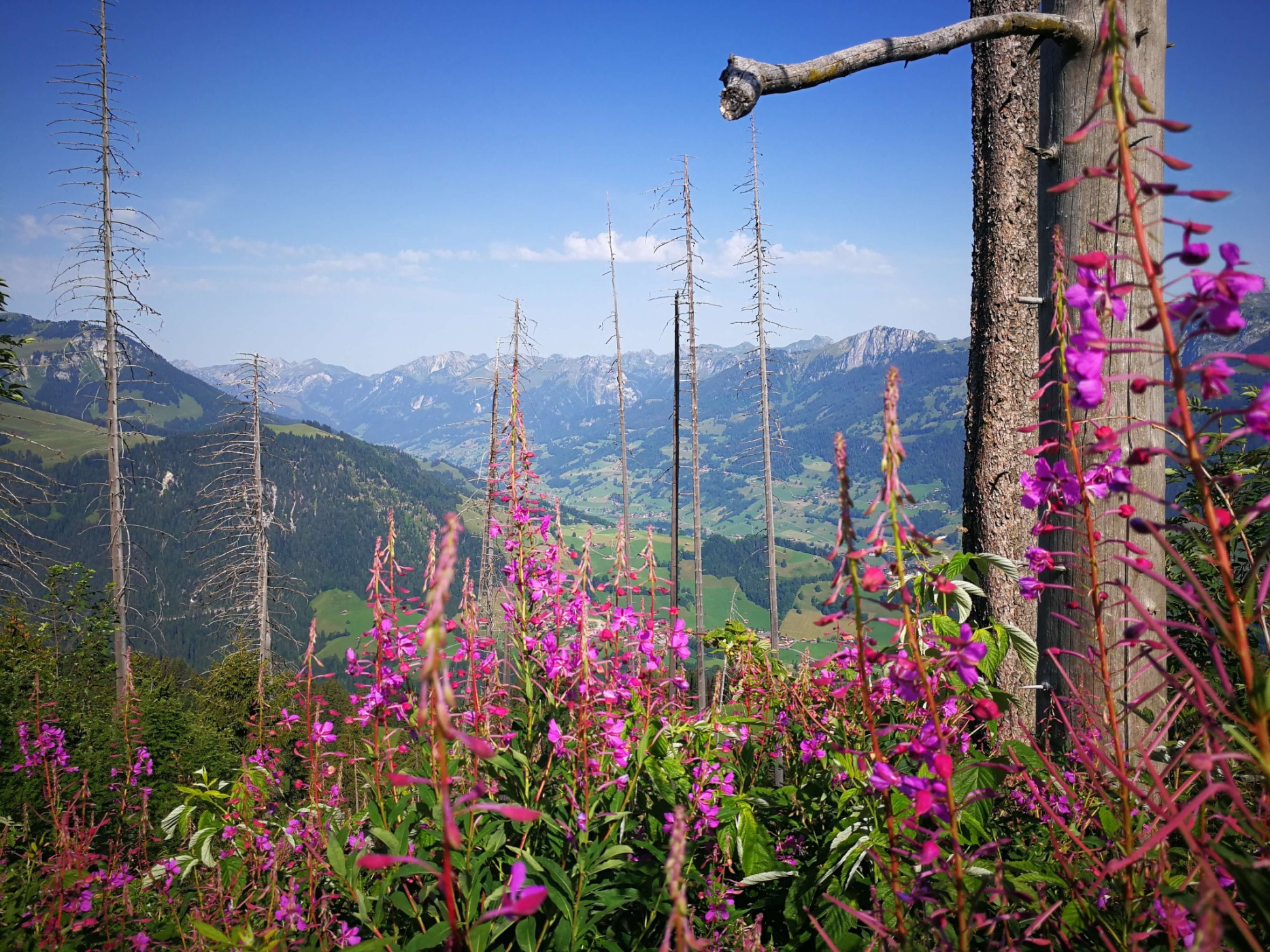
Naturpark Diemtigtal - Walking from Niesen into the Diemtigtal, you have a magnificent panoramic view of Lake Thun and the Simmen and Diemtigtal valleys.
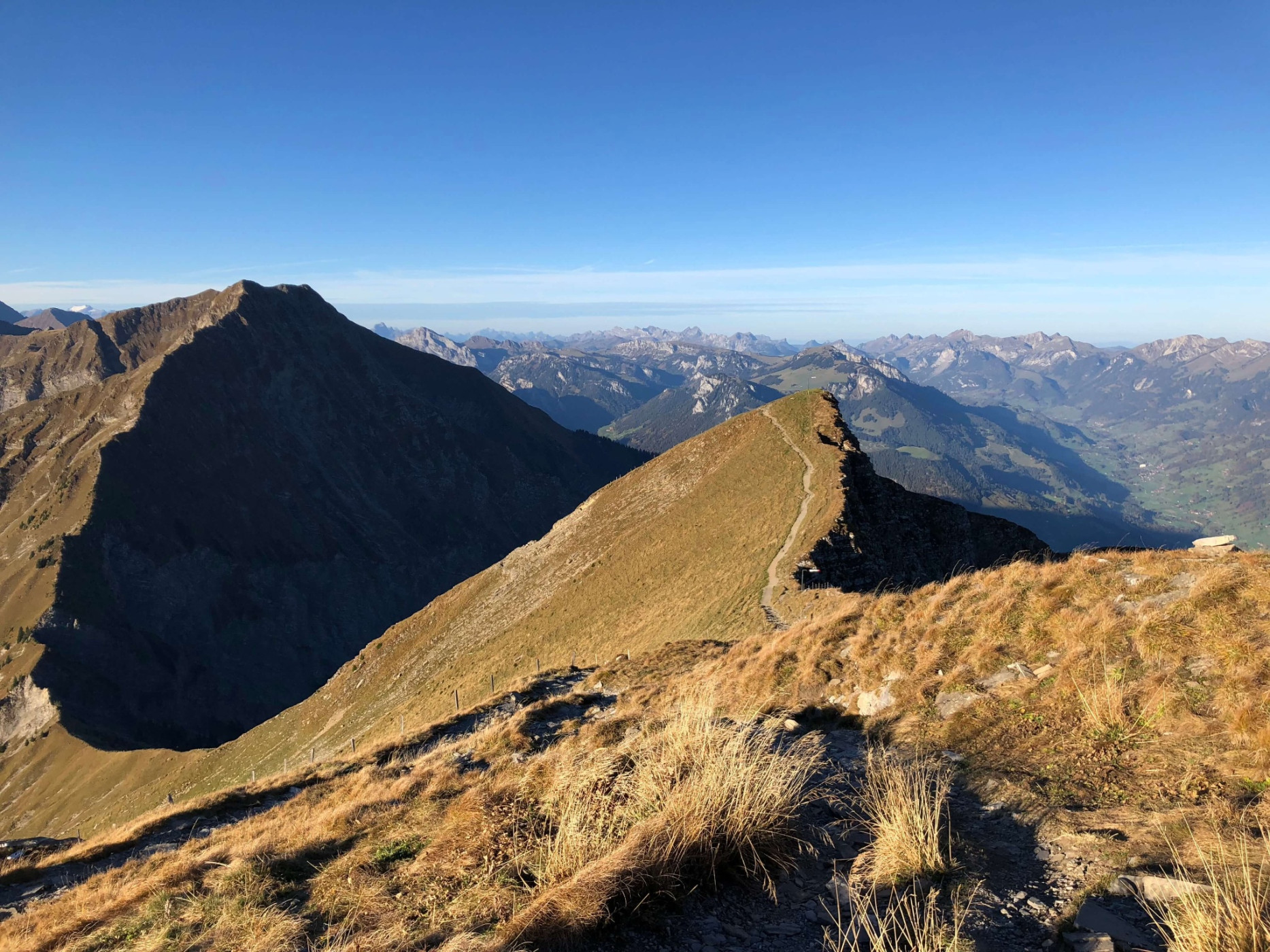
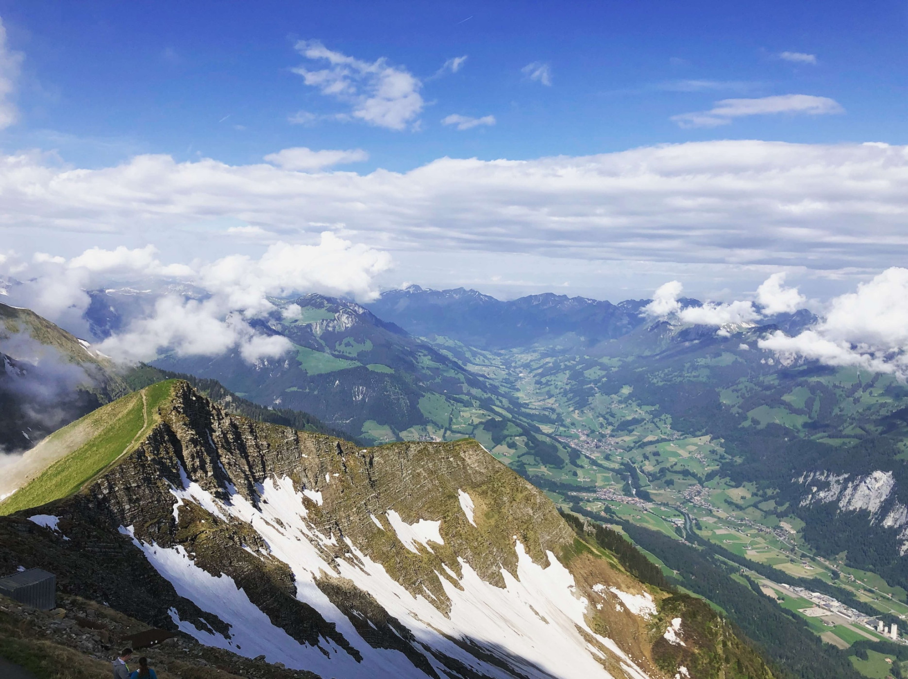
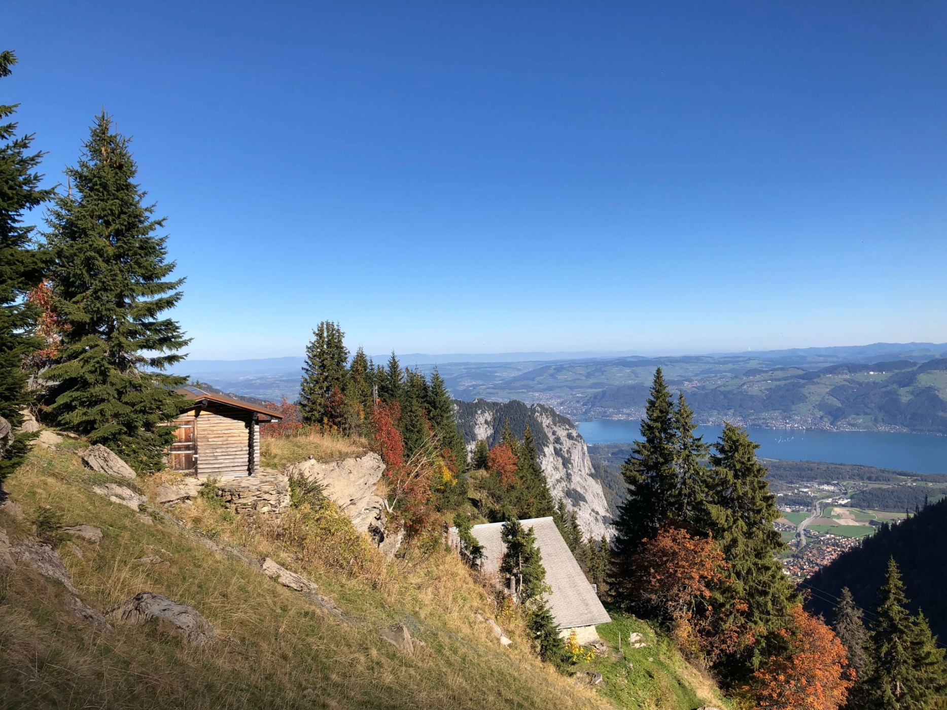
The 3.5 km long route on Niesen Kulm is divided into two sections. The 26-minute ride with the two funiculars to "the Swiss pyramid" already offers an impressive panorama of Lake Thun and the Kandertal. Once at the mountain station, you can enjoy a wonderful panoramic view of the surrounding valleys and the peaks of the Bernese Oberland. The signposted mountain path to the neighboring Diemtigtal leads over alpine pastures, through forests, and rocky fields to the village of Oey.
Route-information
Route-information
- Length
- 12.29 km
- Altitude difference ascent
- 79 m
- Altitude difference descent
- 1749 m
- Time required
- 4 hours 30 minutes
- Level technique
- Easy
- Level condition
- Middle
Details
A hiking map is available at the Naturpark Diemtigtal office.
Naturpark Diemtigtal
Bahnhofstrasse 20
3753 Oey
T 033 552 26 00
info@diemtigtal.ch
www.diemtigtal.ch
Open or closed?
Check our > summer sports report
Did you enjoy this route?
We look forward to your review on > outdooractive
Equipment / Equipment rent
Mountain boots, weather-appropriate clothing (sun/rain protection), hiking poles, provisions, and enough drinks for the journey
Safety advices
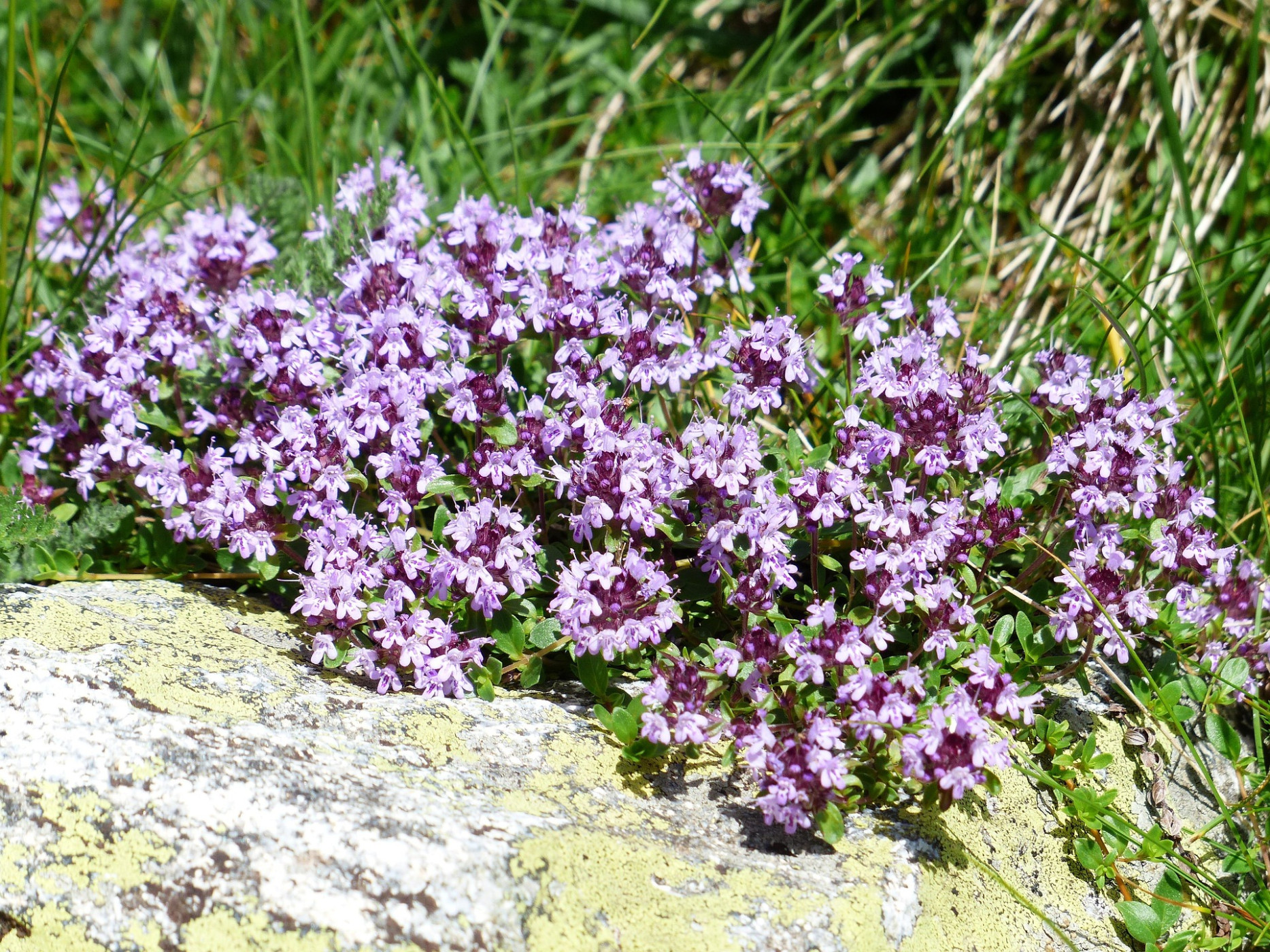
Despite the motto «If Niesen has a hat, the weather will be good again», it is important to pay attention to the weather situation. Around the peaks of the Niesen ridge, snow can partially remain until May/June.The panorama trail leads through pastures with cattle and along fenced sheep herds guarded by dogs. It is advisable to refrain from bringing dogs along on the hike. Please observe the corresponding information signs on site.
Signalization
The mountain path is marked with yellow direction indicators and green route panels and leads from the Niesen mountain station down to the Upper and Lower Stalde, over Chummli to Geeri. Here the path splits:If your destination is Oey station, turn right and follow the path over Bruchgeere via Züneg to Hasli, where you start the last descent to the station.
Alternatively, you continue straight ahead at Geeri until you reach the viewing platform «Hoschüpfe». Here you get one last view over Lake Thun before you reach the Springenboden area via the Lower Drunen. From here the hiking trail leads down to the valley road in Horboden, where you either hike along the valley trail to Oey or return by post bus from «Horboden, Chirel».
By the way: If you book the overnight package at the Naturpark Diemtigtal office at the Gsässweid guesthouse, you stay overnight in a dormitory or double room and the next day after breakfast you will be taken back to Oey-Diemtigen or Mülenen station.
Arrival
Arrival
- Starting point
- Bergstation Niesen Kulm (Mülenen)
- Arrival by public transport
- Niesen Kulm Timetable SBB
- Destination
- Bahnhof Oey-Diemtigen
Suitable for
The offer is suitable for
- Adults