

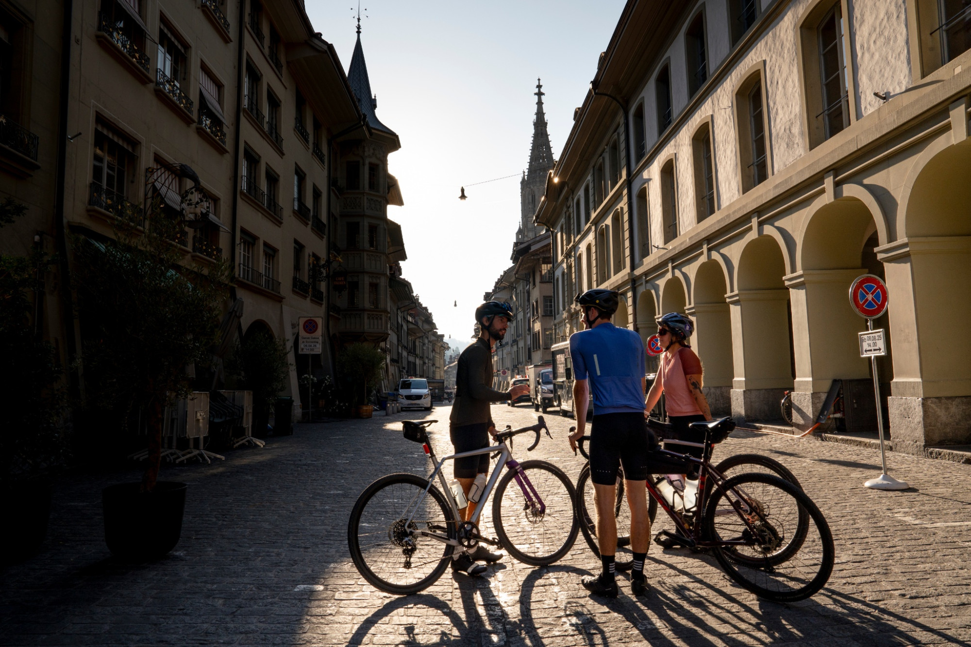
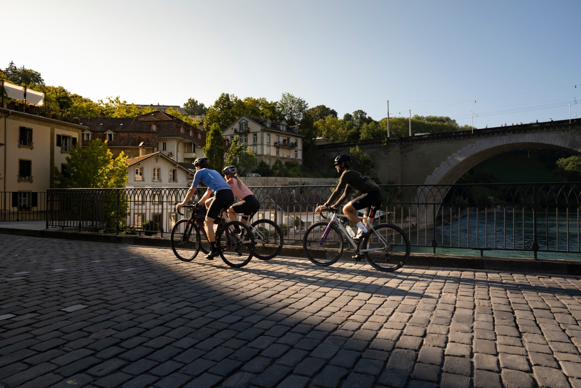
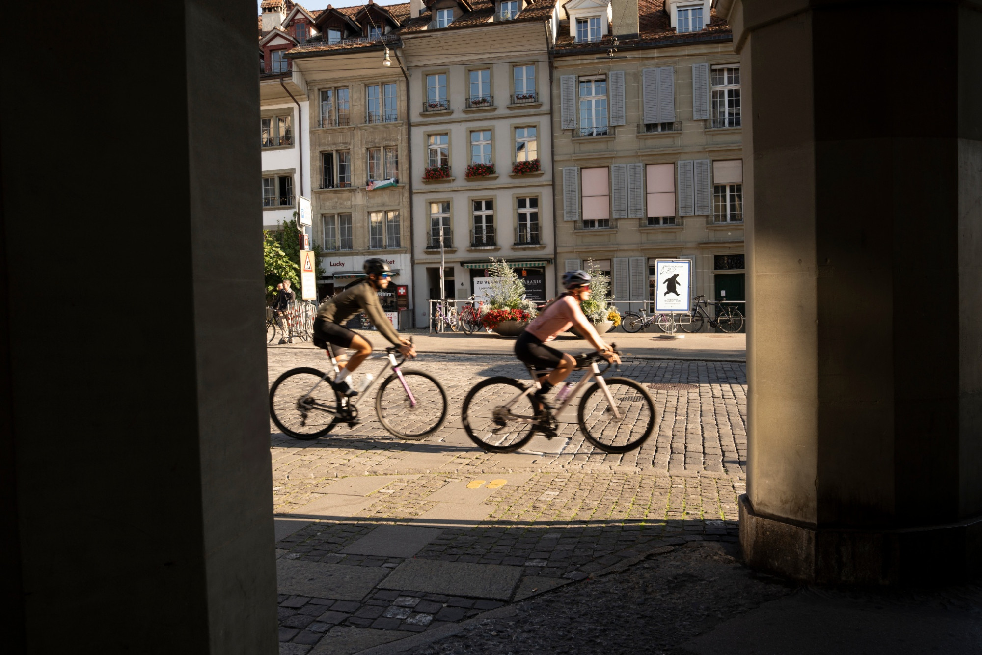
10.1 Belpberg Gürbe Gravel Loop from Bern – Belp – Wattenwil – Belp
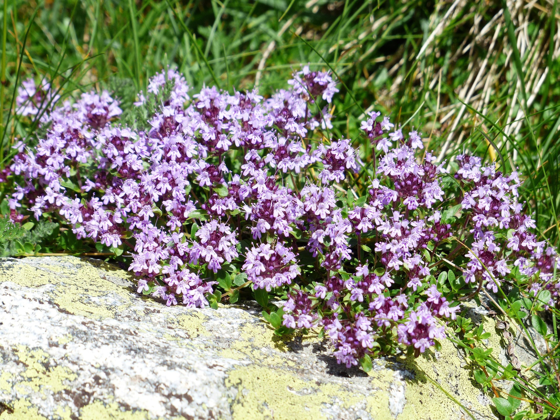
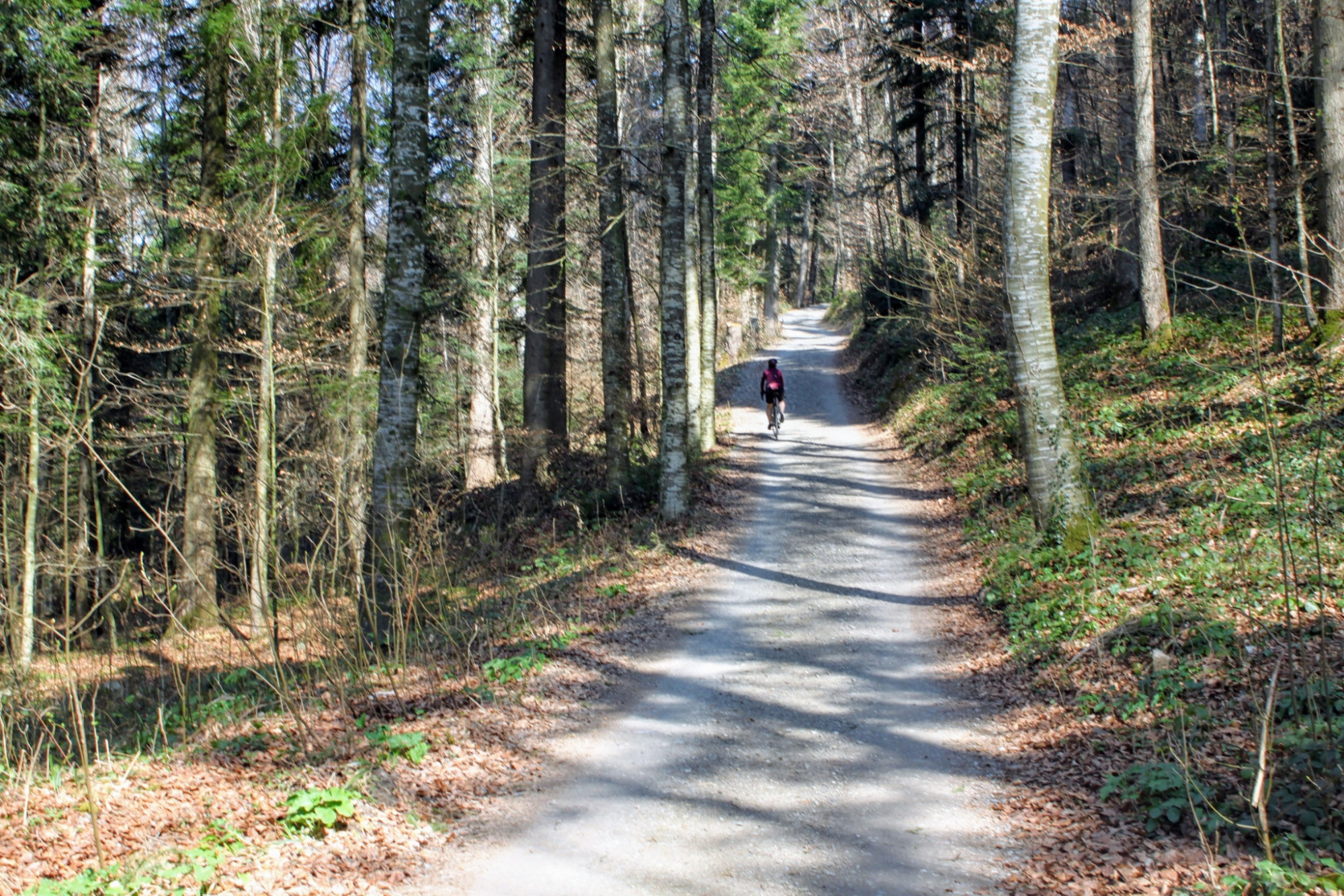
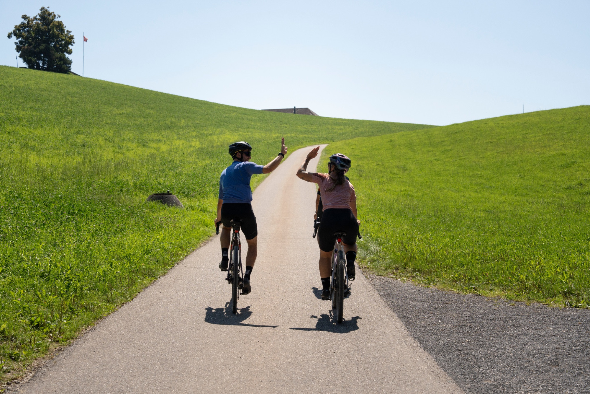
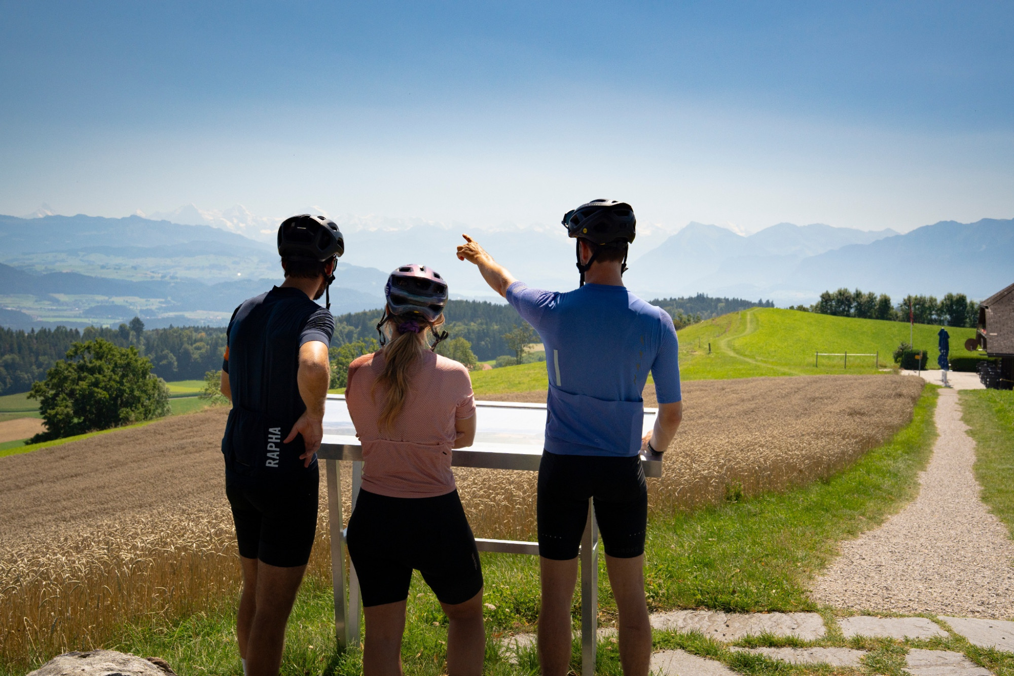
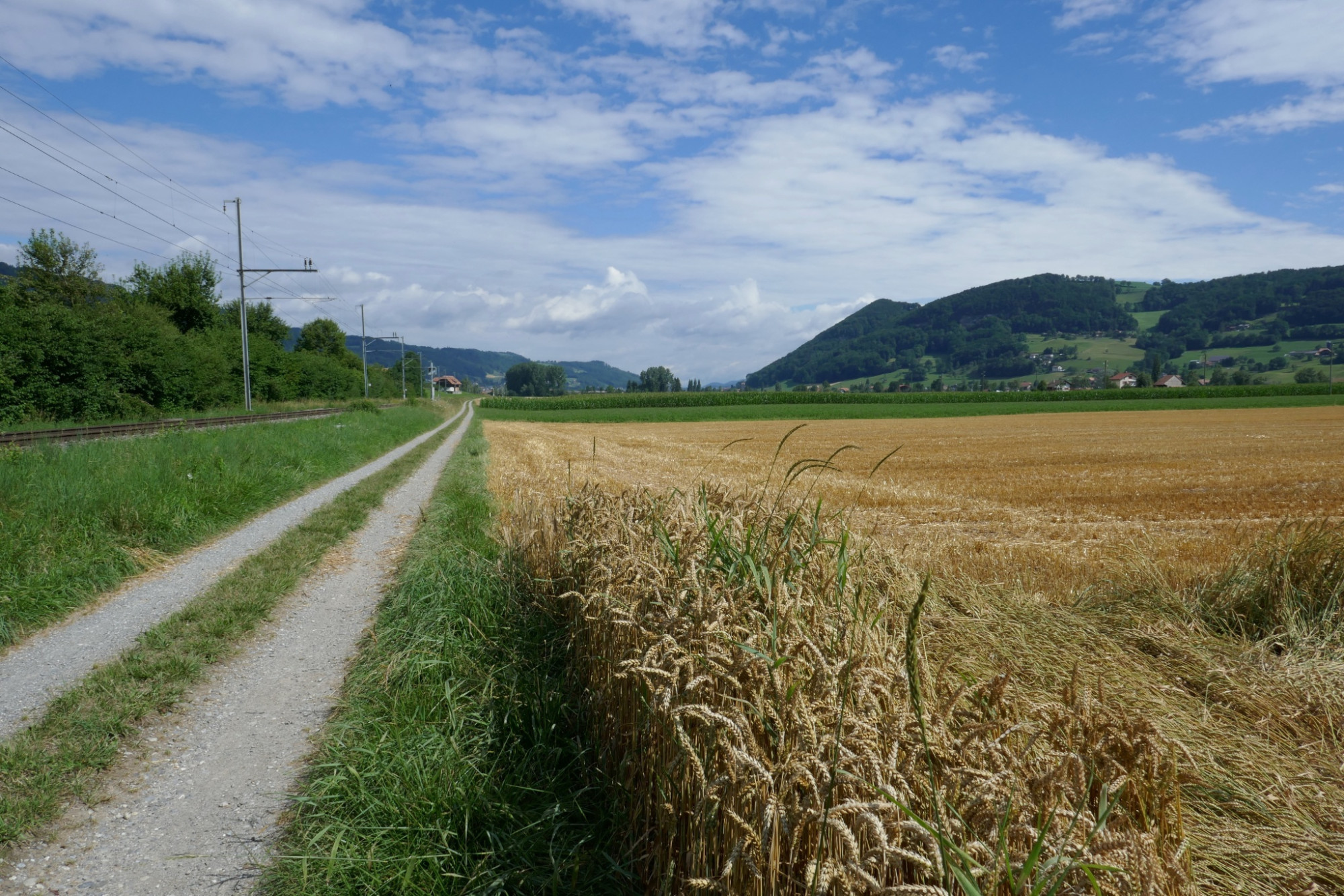
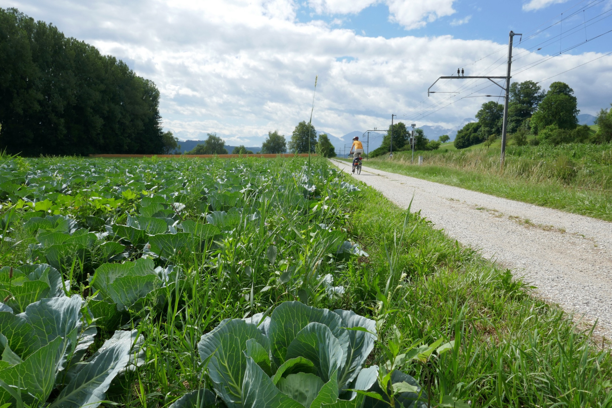
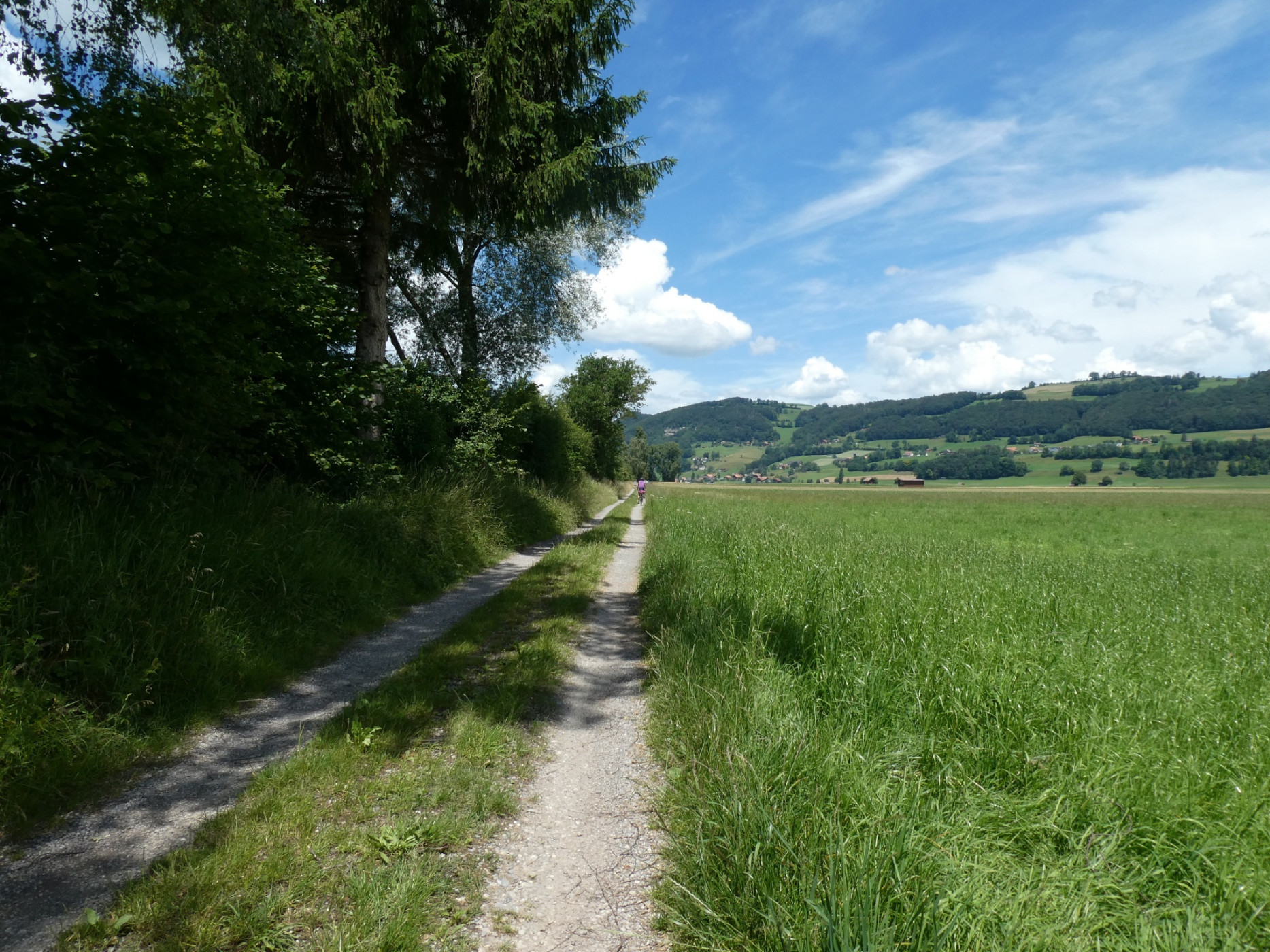
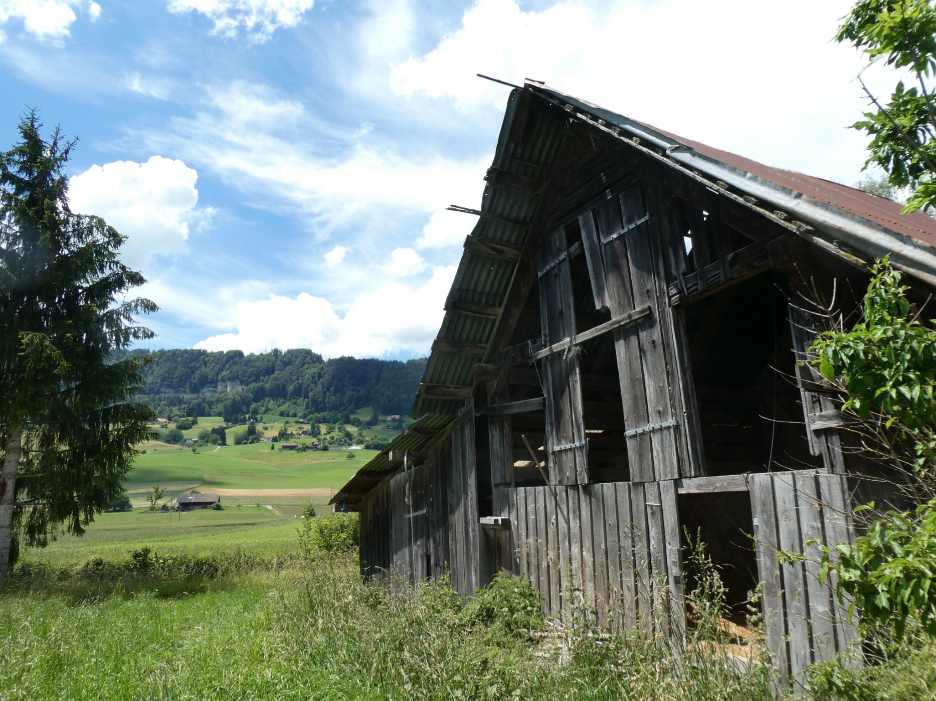
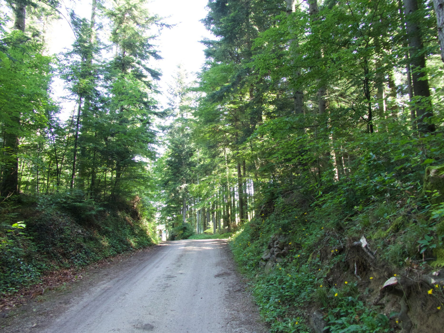
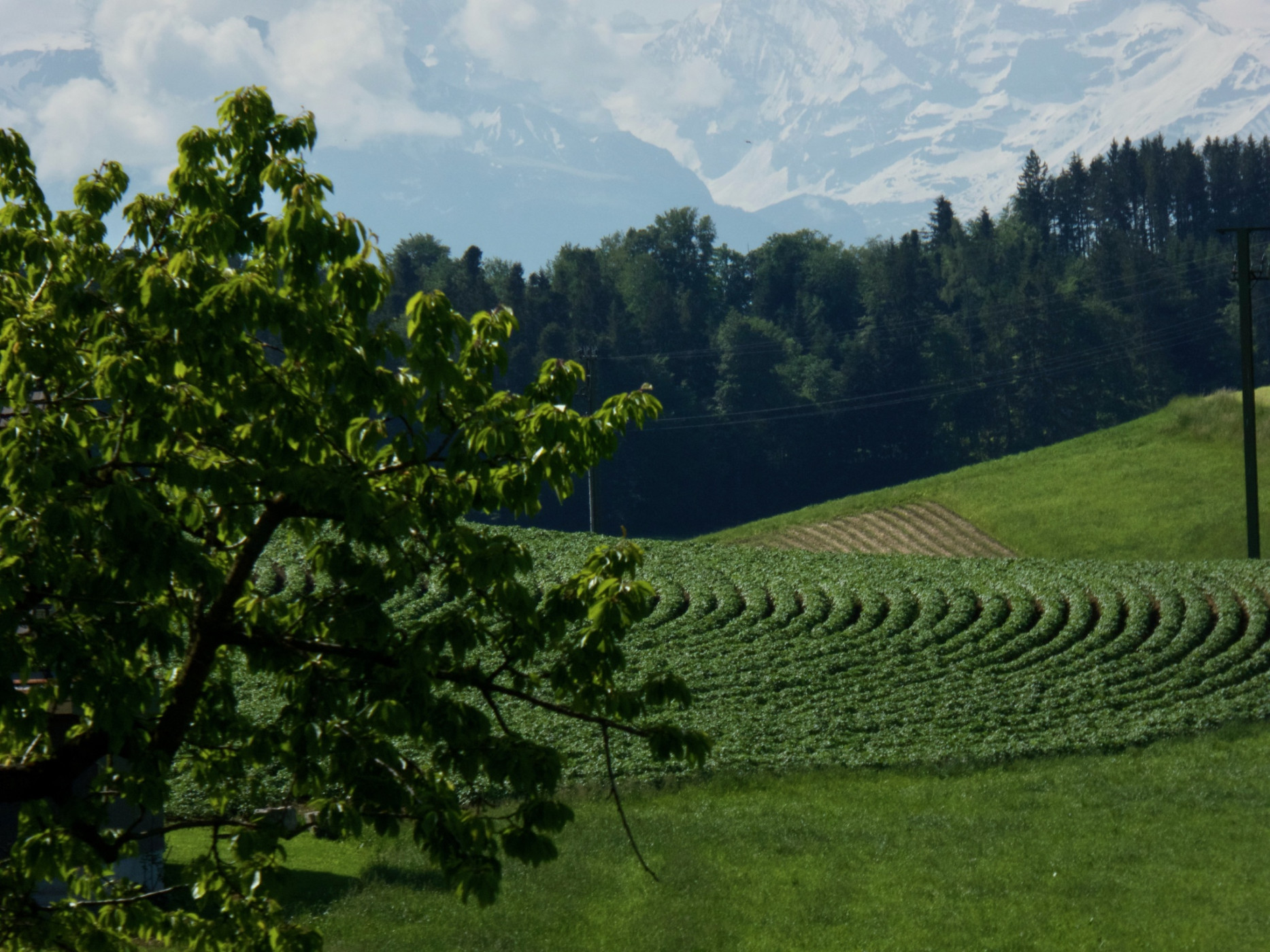
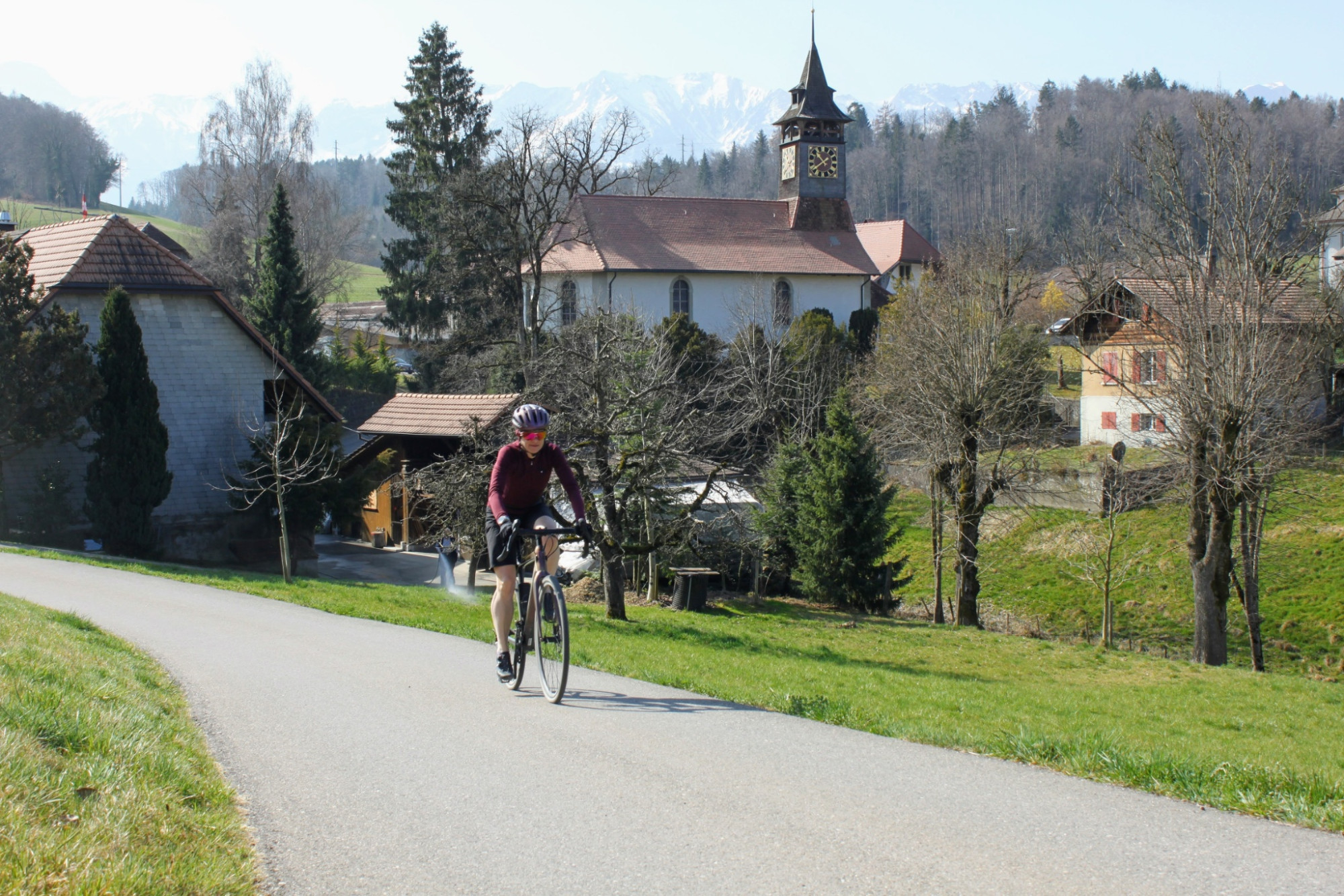
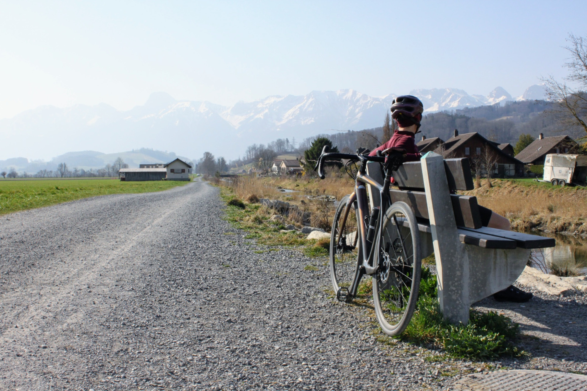
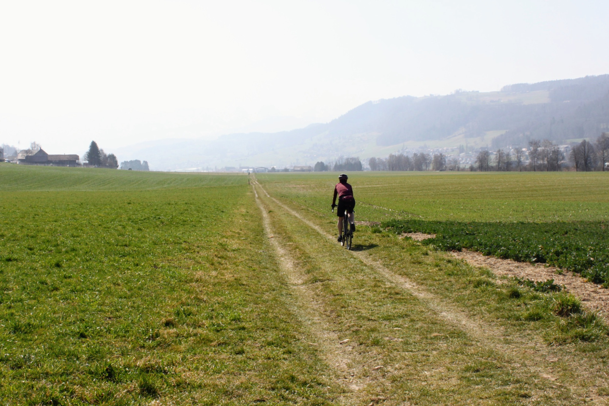
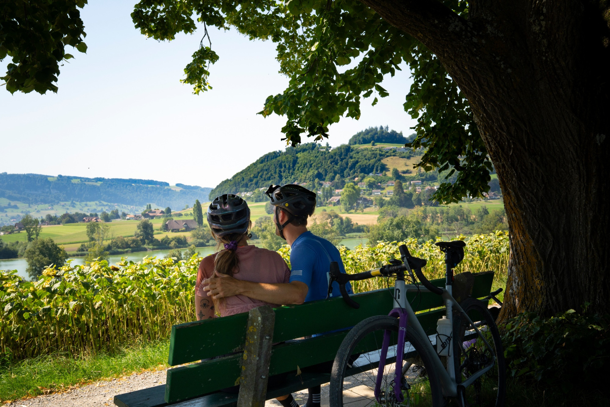
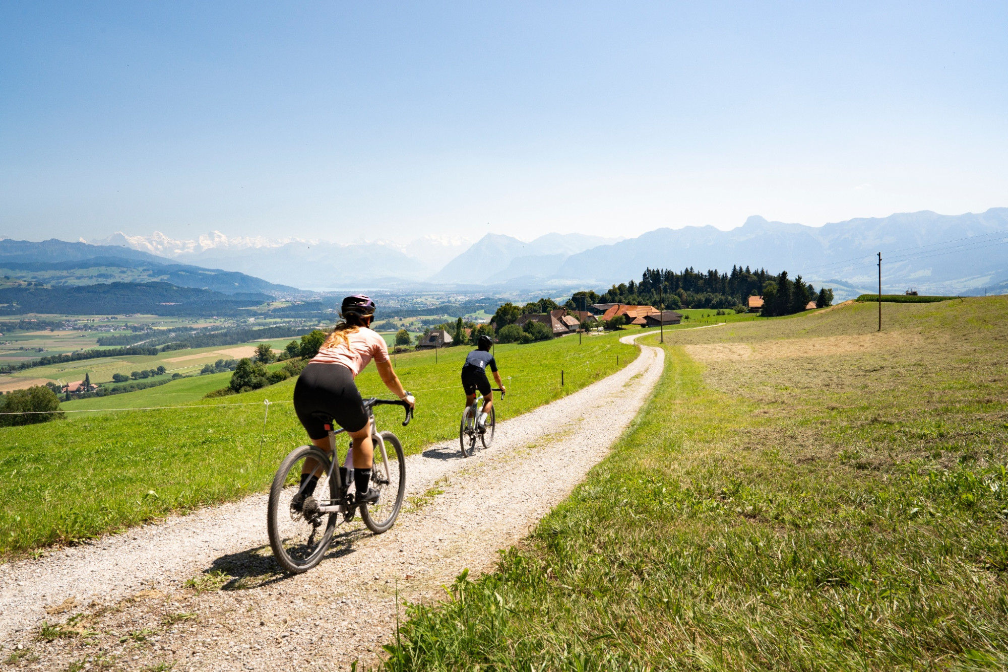
Naturpark Gantrisch - The gravel loop route leads from Bundesplatz through the old town of Bern via the Belpmoos to Belp. From there, it continues with a challenging ascent on forest paths up to the Chutzen viewpoint. Then it goes via Gerzensee to Wattenwil and flat along the Gürbe back to Belp and Bern. The route runs on side streets and largely on forest, gravel, and field paths; it is partially quite bumpy and dusty. The view of the Bernese Alps and Prealps as well as the cooling opportunities along the Gürbe and in the Aare complete the gravel fun.
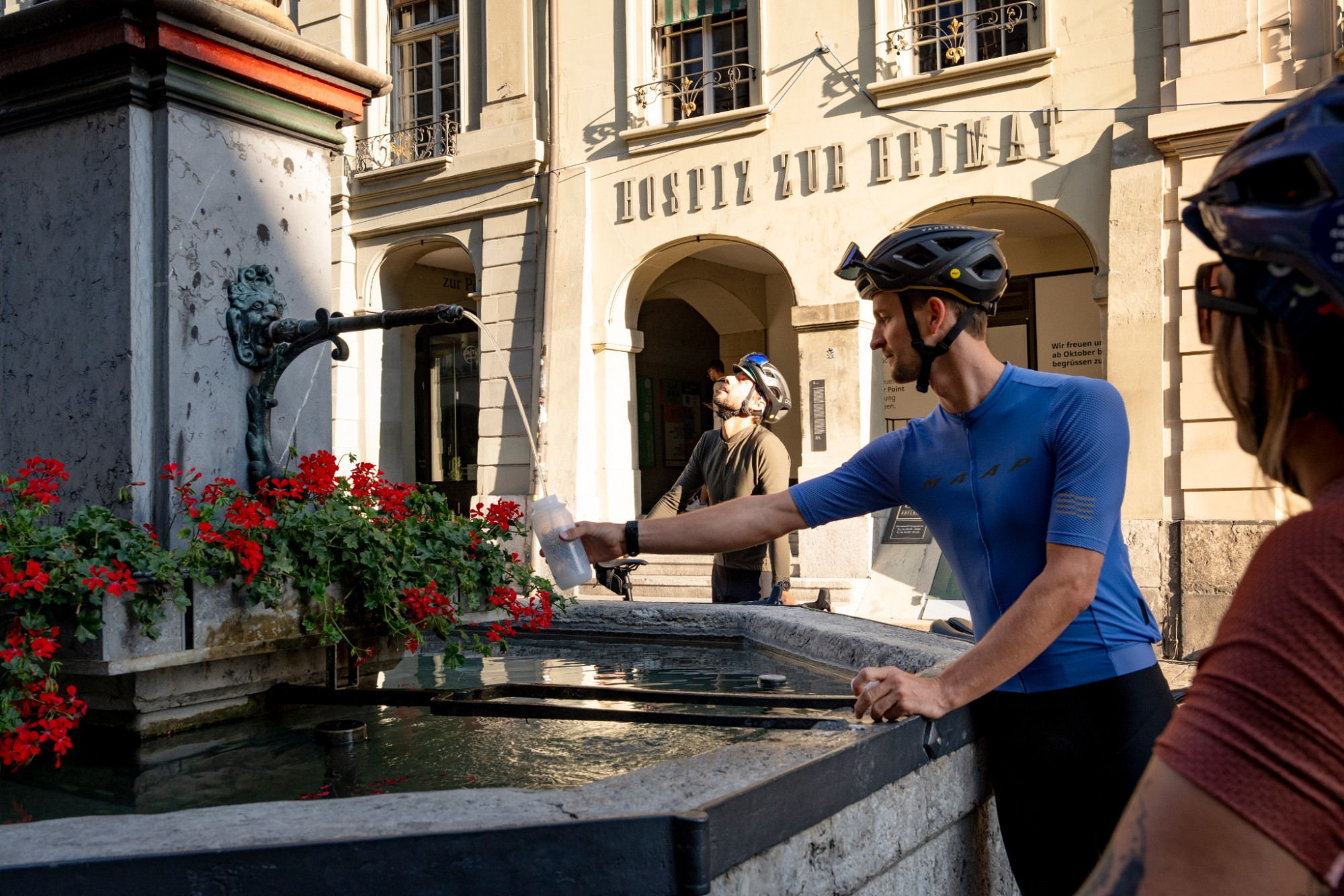
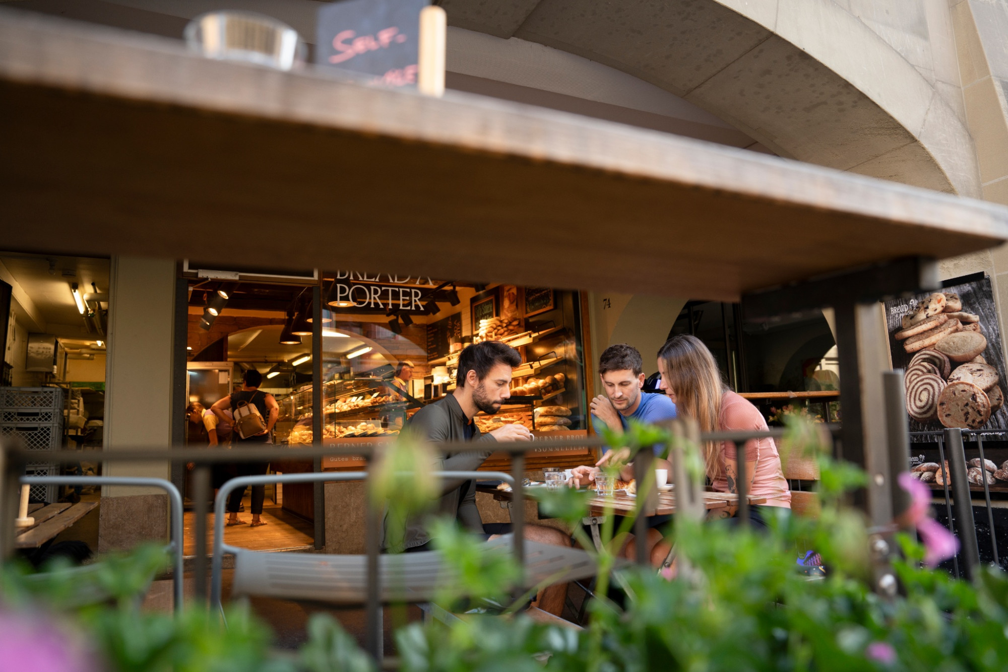
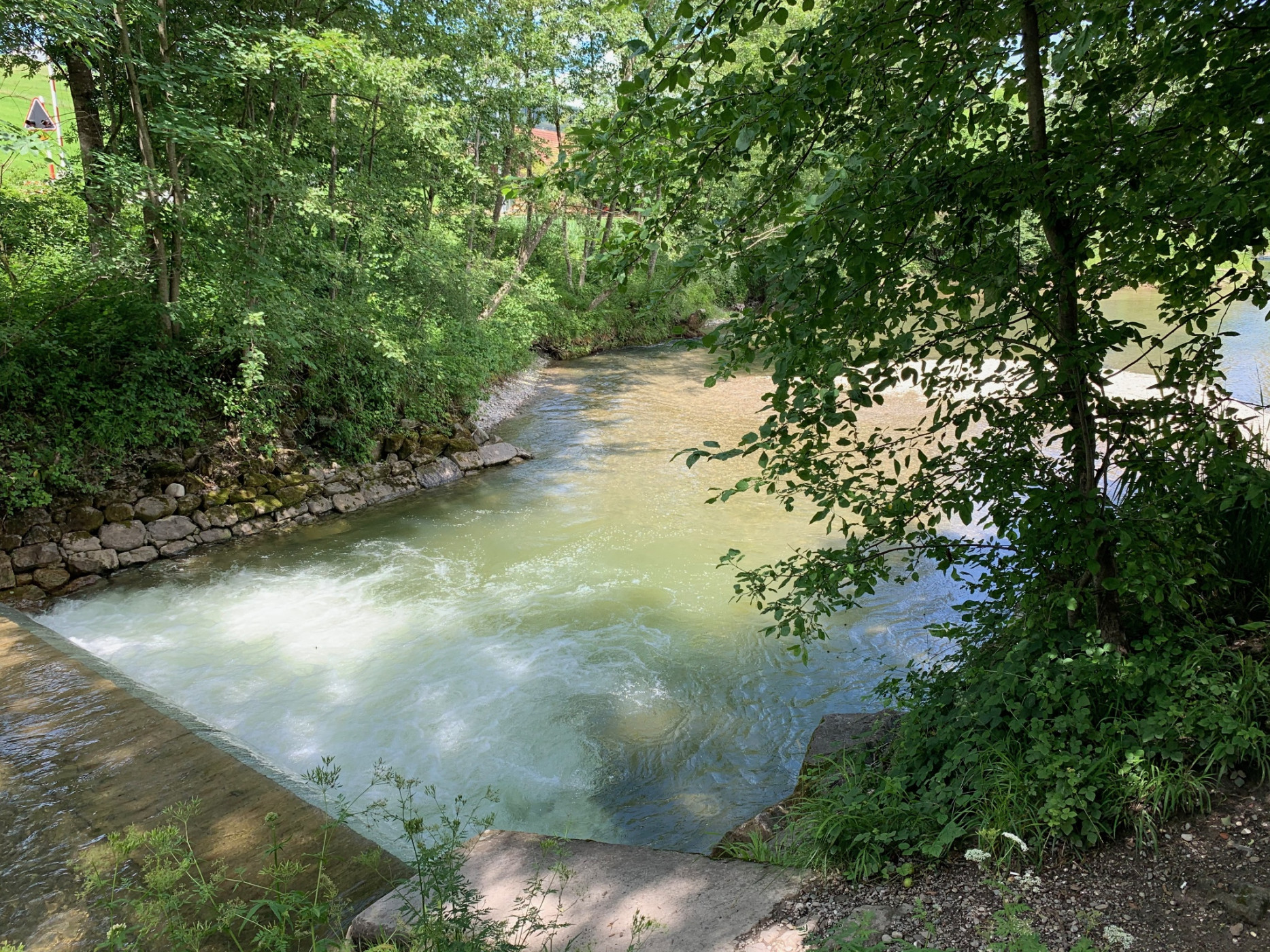
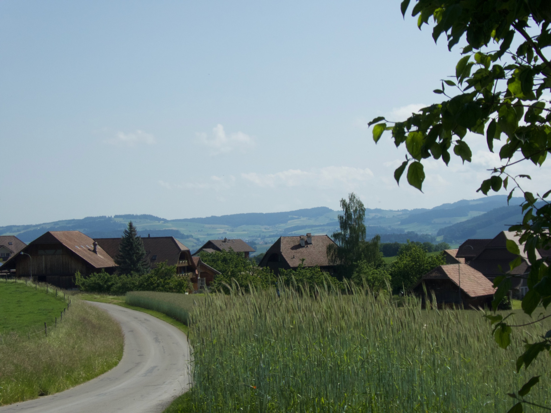
After warming up on the flat terrain from Bern to Belp, the route climbs on forest paths to the Chutzen viewpoint at 882 m above sea level. The panoramic view of the Bernese 4000-meter peaks, the Prealps, the Emmental, and the Bernese Midlands makes up for this initial effort. After a rapid descent, follow the side streets along Gerzensee via Kirchdorf to Noflen. A short descent through the forest and a dusty gravel section on the valley floor along the Müsche leads into the village of Seftigen. On the main road through the underpass past the Tamoil gas station, then right over the railway crossing by the church center and again right towards Gurzelen, the residential area is passed. Then follows a short gravel section to the small village of Gurzelen, where the route passes the church on a side street towards Wattenwil. After a refreshment in one of the local inns, follow about 3 kilometers of the official cycle route 74. Then follow the Gürbe from Mühlethurnen consistently on a bumpy field path south until the path ends. Now cross the bridge and the main road and follow the gravel path to the Lohnstorf bridge. Here and also 5 minutes later at the Gürbebadi in Mühlethurnen there is the opportunity to cool off in the fresh water of the tamed mountain stream. A long flat ride through the Gürbe valley floor on dusty and partially bumpy gravel and field paths leads via Kaufdorf and Toffen back to Belp. From there, the final sprint follows through the Belpmoos over the Aare via Muri back to the Bundesplatz in Bern.
Route-information
Route-information
- Length
- 66.21 km
- Altitude difference ascent
- 700 m
- Altitude difference descent
- 700 m
- Time required
- 4 hours 45 minutes
- Level technique
- Easy
- Level condition
- Middle
Details
Bike Service Stations
Good trail infrastructure includes, besides mountain bike routes, also e-bike charging stations, bike wash stations, bike shops, bike transport, and bike tool boards. Here you find an overview of the bike service stations in the Prealps bike region.
Equipment / Equipment rent
Gravel bike, weather-appropriate clothing and equipment, provisions, puncture repair kit, and first aid kit.
Bike Shops nearby:
- Dragon Cycle Belp
- Ski & Velo Center Belp
- Hadorn Velos Wattenwil
- Stebis Checkpoint Seftigen
Arrival
Arrival
- Starting point
- Bundespatz Bern
- Arrival by public transport
- Bern, Bahnhof Timetable SBB
- Destination
- Bundesplatz Bern
Suitable for
The offer is suitable for
- Adults
- Groups
Season
March, April, Mai, June, July, August, September, October, NovemberContact
Naturpark GantrischFörderverein Region Gantrisch
Schlossgasse 13
3150 Schwarzenburg
T +41 (0)31 808 00 20
www.gantrisch.ch