
Alpine Panorama Trail Stage 18 (SchweizMobil 3)
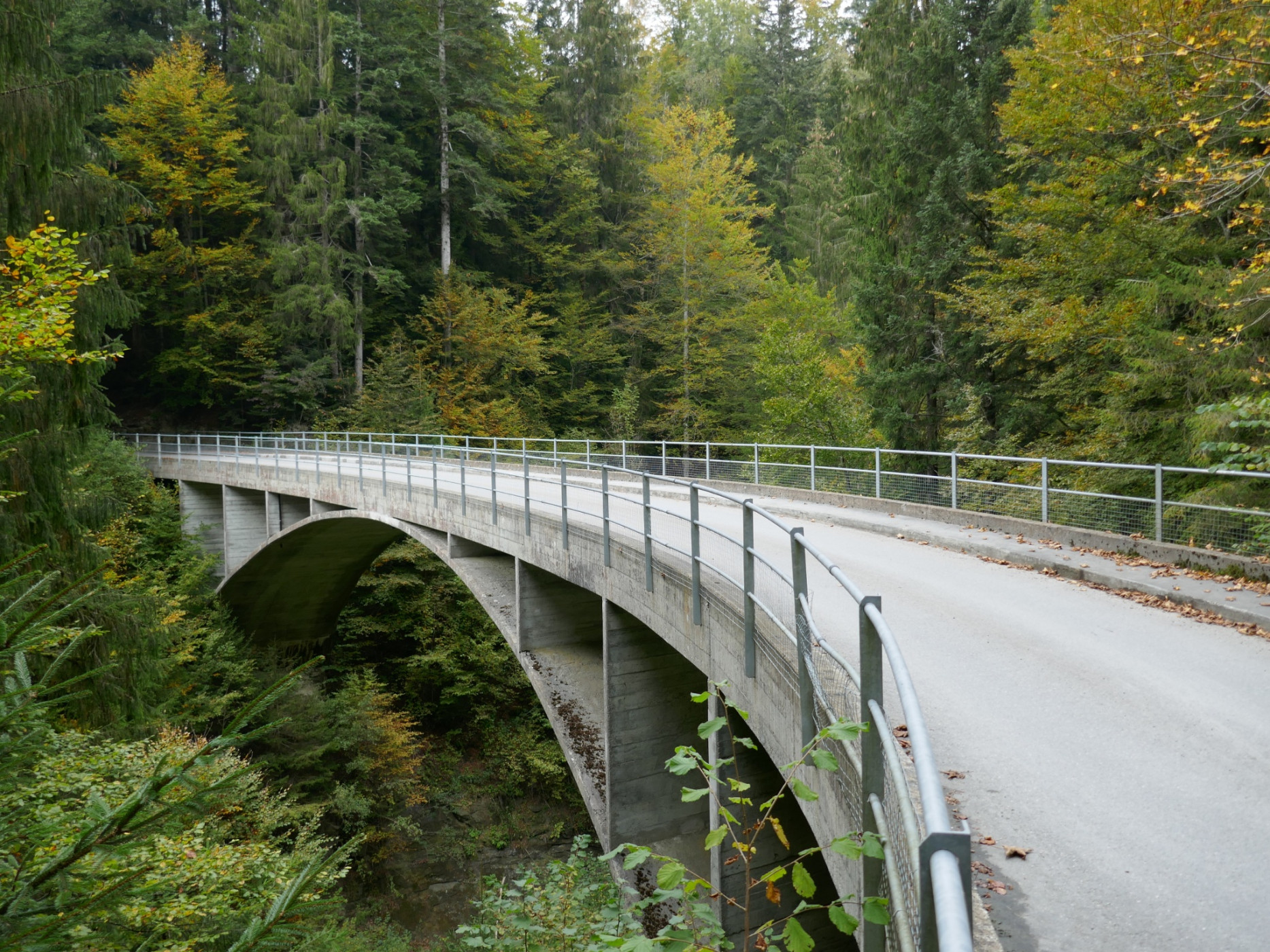
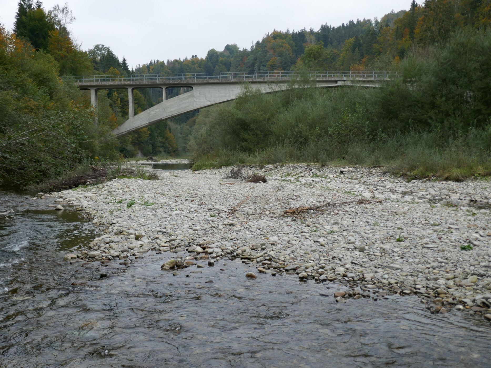
Naturpark Gantrisch - Enjoy one last view of the Bernese Alps before the descent into the Schwarzwasser ravine. After crossing the world's oldest concrete arch bridge, Schwarzenburg is reached. Over its plateau, forests, and meadows, the path leads to the scenic Guggershörnli.
Stage 18. Rüeggisberg-Guggisberg
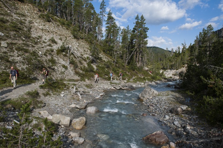
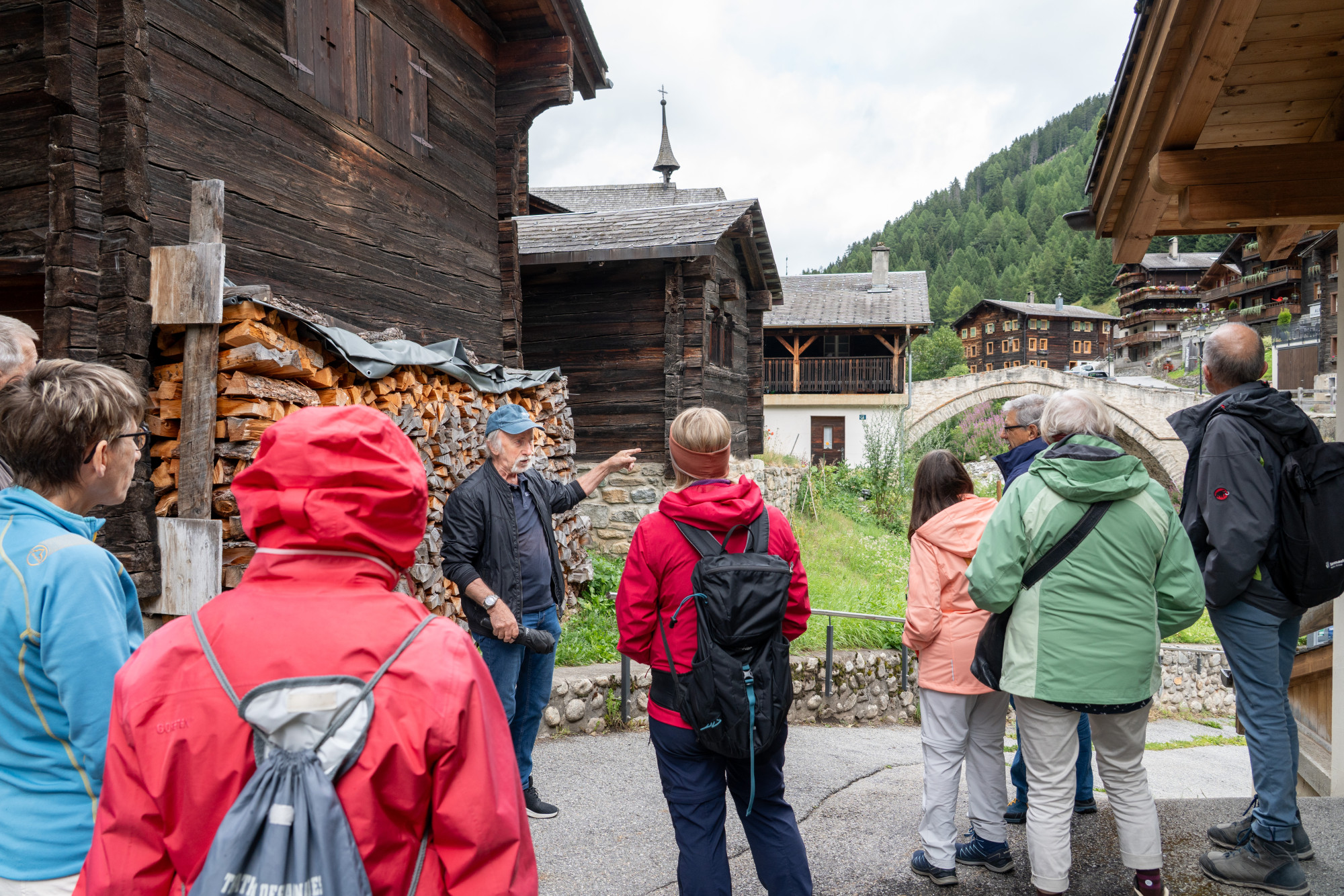
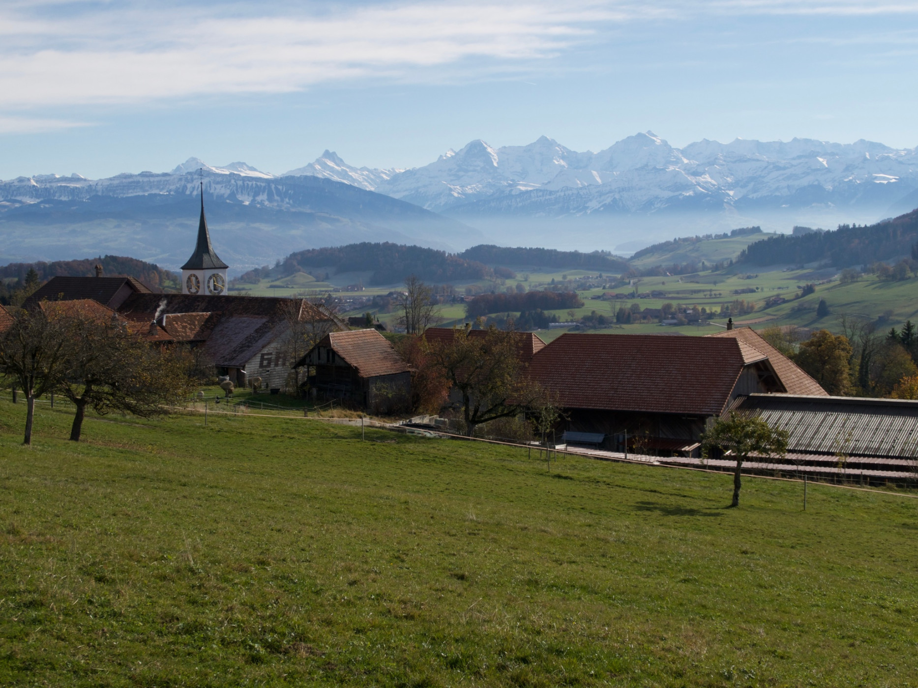
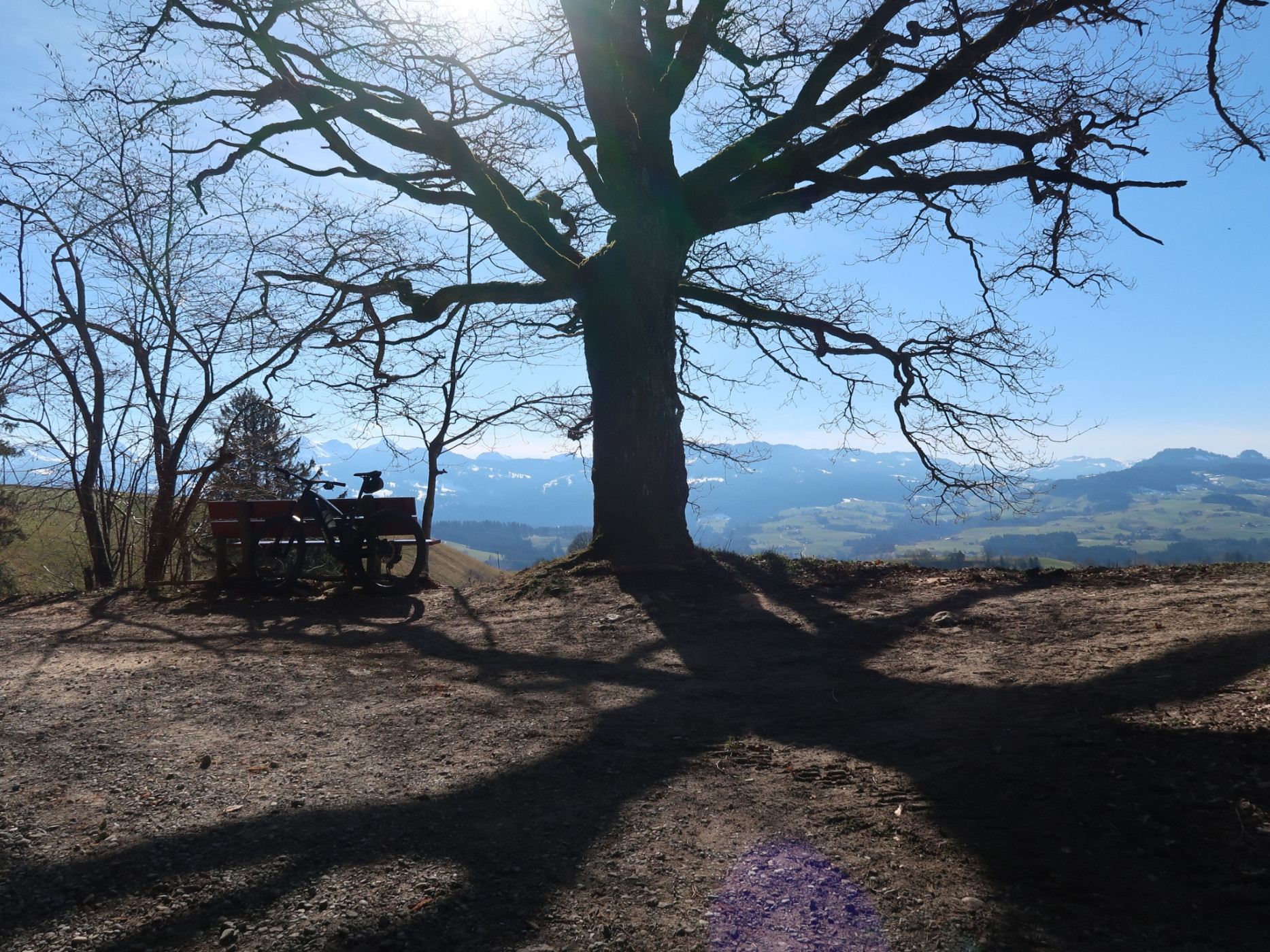
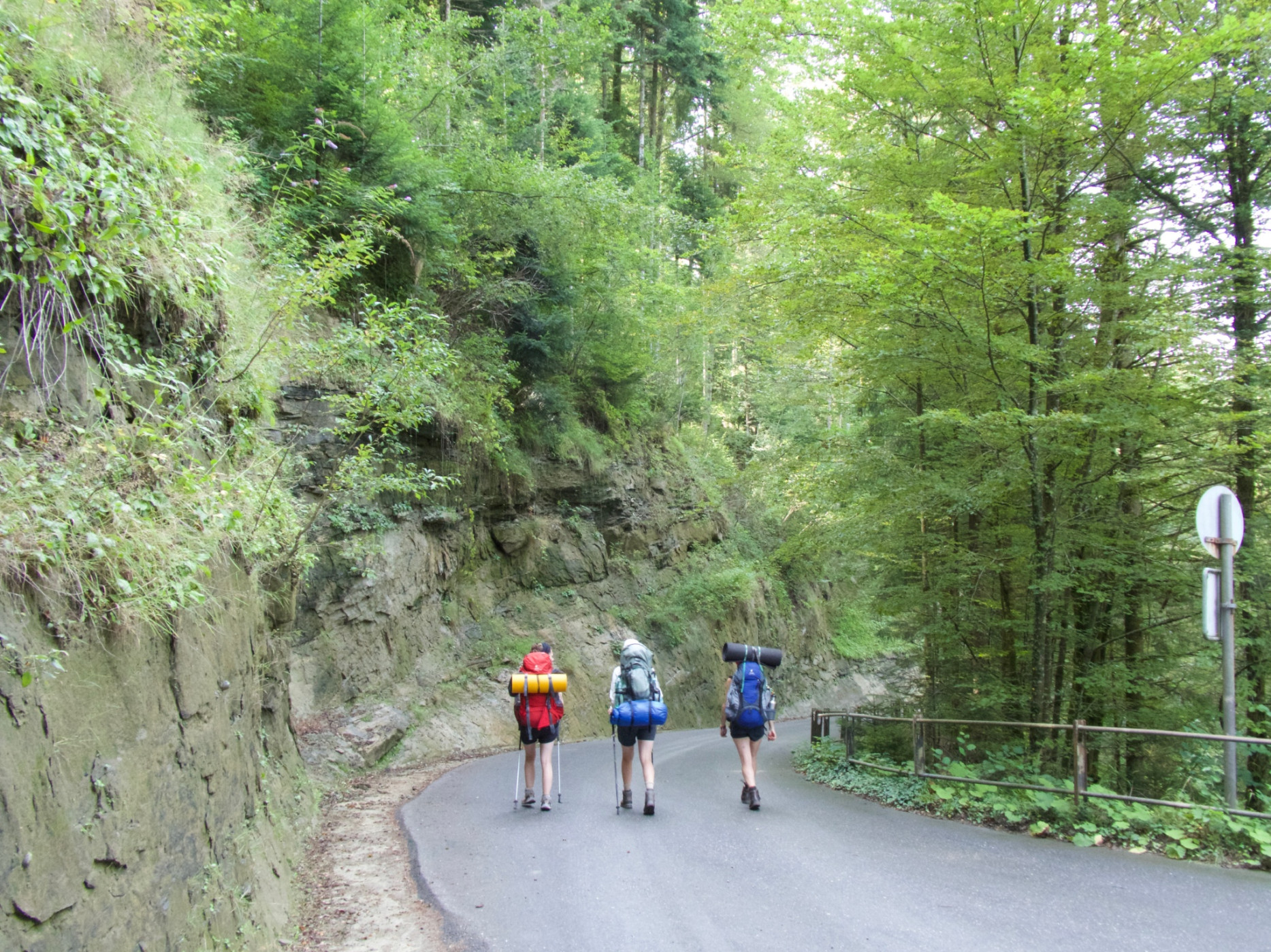
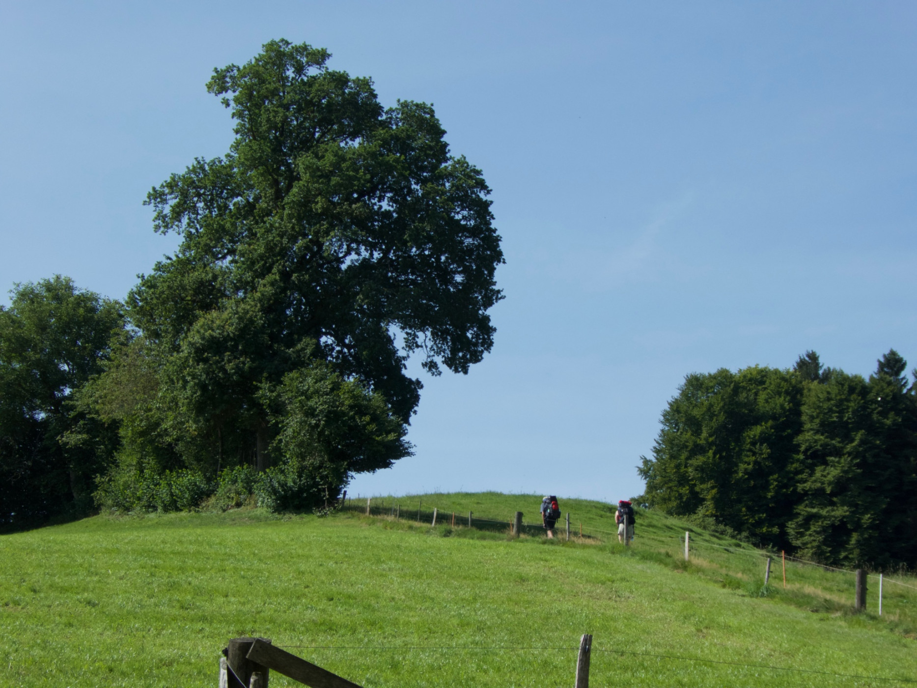
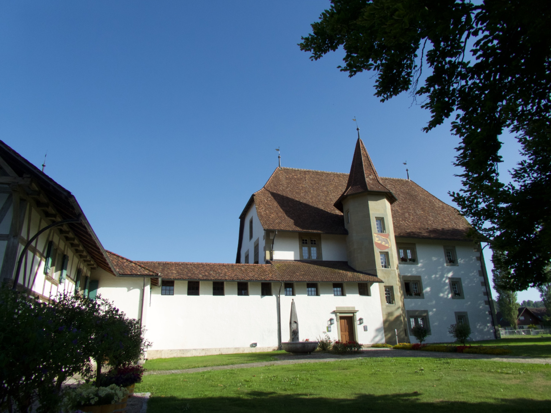
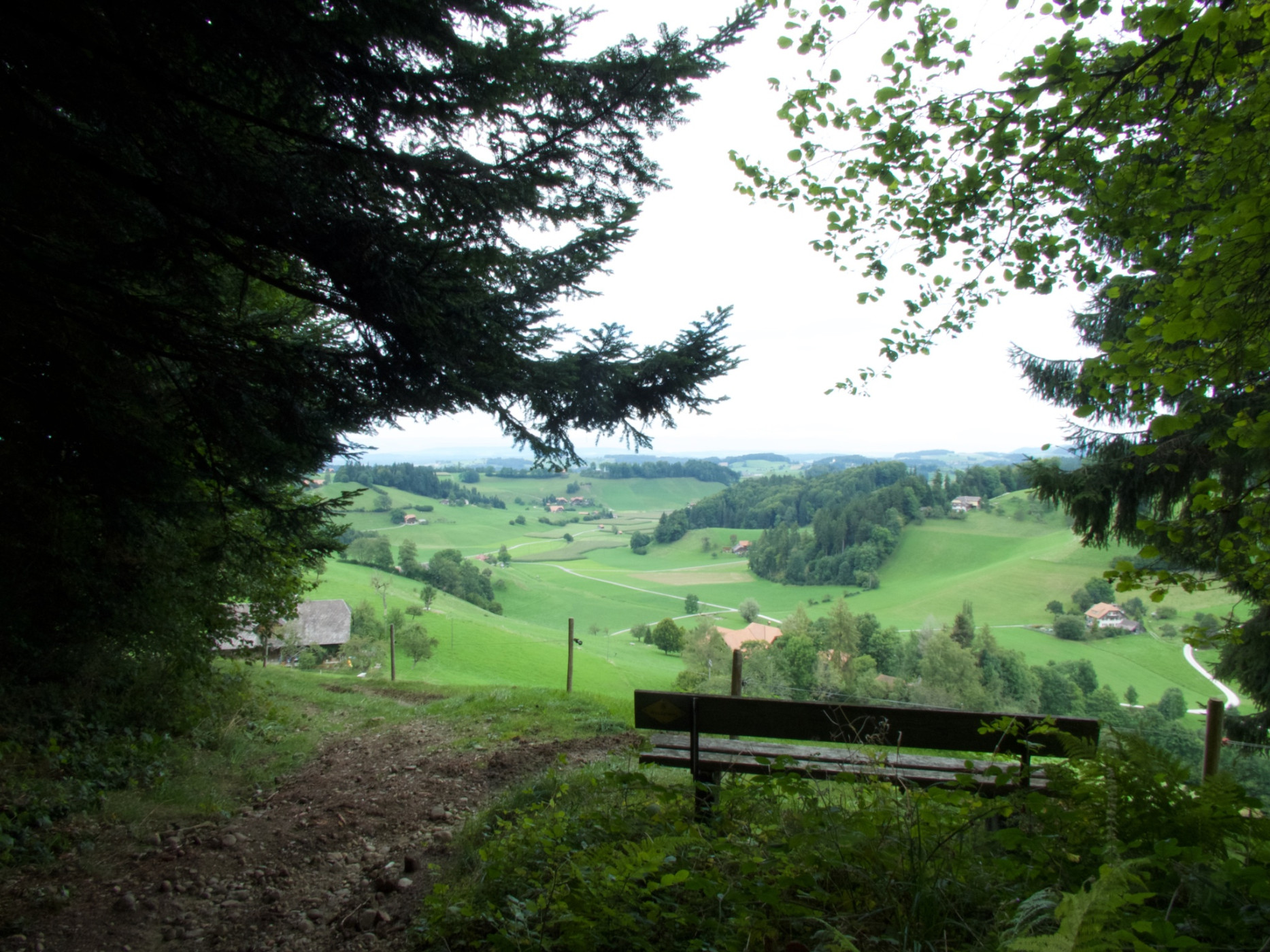
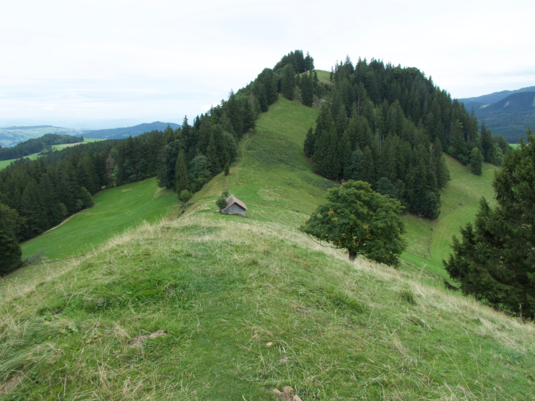
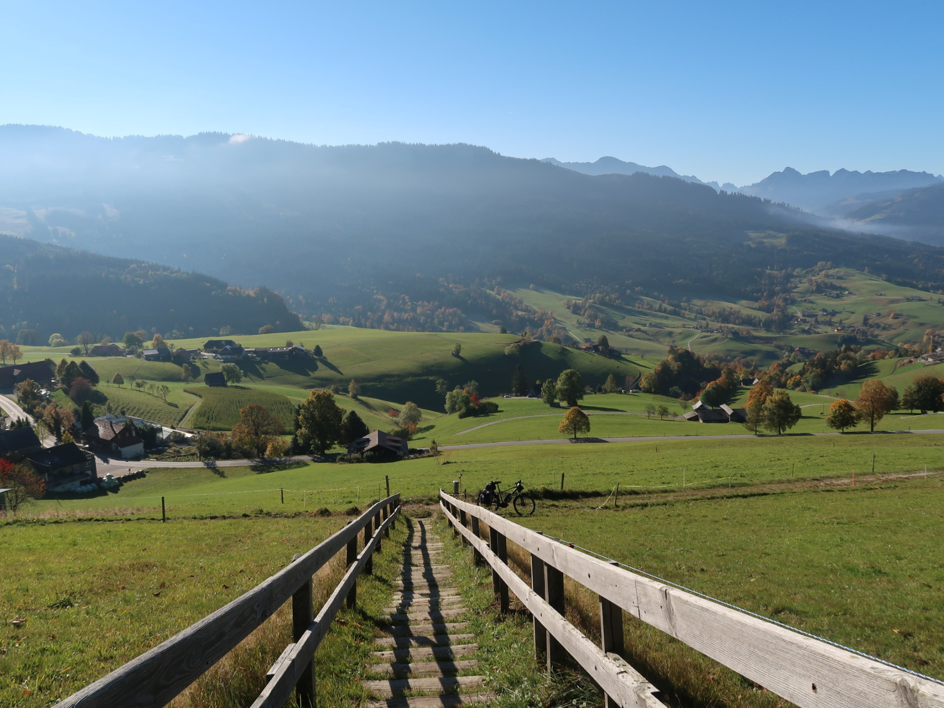
The 18th stage of the Alpine Panorama Trail starts in Rüeggisberg. The hike already begins with a highlight – the Rüeggisberg monastery ruins. In the Middle Ages, it was one of the most important monastic buildings in Switzerland. A short detour to the ruins is worthwhile before continuing the path to Schwarzenburg. Along an asphalt road with magnificent views of the Alpine range, you ascend towards the Riedstettwald. You reach the Rossgraben through a beautiful forest section, passing the idyllic Weidligraben and the Schwandbach bridge. Then you cross the Sense River via the Rossgrabe bridge. After this, a gravel road leads to Elisried after about two hours of hiking. You then walk about three kilometers further on an asphalt road to Schiltberg. Next follows the strenuous part of the hike: In the next almost two hours, more than 500 meters of altitude are overcome. Forests and pastures alternate up to the Guggershorn. Once at the saddle, you climb the last few meters via a “heavenly ladder” up to the rock spur. At the top, 1283 meters above sea level, there is a fantastic view of the surrounding mountains such as Eiger, Mönch, and Vanil Noir. To the north, the view wanders to the Chasseral and Mont Racine. The last descent along a nicely laid path ends in Guggisberg, the destination of this roughly five-hour stage.
Route-information
Route-information
- Length
- 17.40 km
- Altitude difference ascent
- 724 m
- Altitude difference descent
- 537 m
- Time required
- 5 hours 35 minutes
- Level technique
- Middle
- Level condition
- Hard
Details
Equipment / Equipment rent
Normal hiking equipment
Arrival
Arrival
- Starting point
- Rüeggisberg, Post
- Destination
- Guggisberg, Post
Suitable for
The offer is suitable for
- Adults
- 50+
- Families
- Groups


Season
March, April, Mai, June, July, August, September, OctoberContact
Naturpark GantrischFörderverein Region Gantrisch
Schlossgasse 13
3150 Schwarzenburg
T +41 (0)31 808 00 20
www.gantrisch.ch